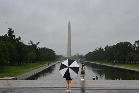
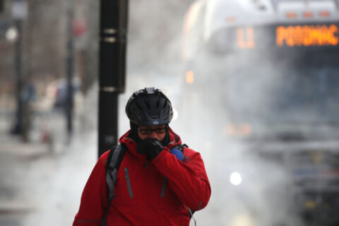
Winter is firmly upon us after a warm start to the season: Persistent, frigid weather is in the D.C. region’s weather outlook for the near future, with the potential for two rounds of snow before the weekend is up.
Much of the WTOP listening area saw temperatures dip into the teens overnight, and roads are still slick from a refreeze after our most recent storm forced some Northern Virginia schools to close Tuesday. If you’re out on the roads, remember: Drive slow, leave plenty of stopping distance behind the vehicle in front of you, and use extra caution on untreated driveways, bridges, highway ramps and overpasses.
High pressure dominates the scene until Thursday morning, when a relatively brief rain-snow mix is possible. A more significant risk for accumulating snowfall comes Friday into Saturday.
“An active pattern will keep gusty winds blowing and the snow chances coming over the next several days,” Storm Team4 meteorologist Chuck Bell told WTOP. “Be mindful of icy spots on the roads this morning since temperatures are below freezing.”
- Listen to WTOP online and on the radio at 103.5 FM or 107.7 FM.
- Current traffic conditions
- Weather forecast
- Closings and Delays
- Sign up for WTOP alerts
Warming temperatures on Wednesday morning will provide some respite from persistent icing issues, but it’ll be fleeting: A cold front ushers in a new round of precipitation late Wednesday into Thursday morning along with another blast of Arctic air — highs through the weekend won’t get far above freezing.
But while that air mass is certainly cold, the front will be missing one crucial component for major winter storms: Moisture.
“Since the air behind this front is from the Arctic, it is both bitter cold and bone dry; this will limit snow potential,” Bell said, with the snow outlook ranging from a trace to little more than an inch amid a mix with sleet or rain. Since this storm would coincide with Thursday morning rush hour, some delays or cancellations are possible.
Today will bring more sunshine & a bit less wind. A few snow showers linger across the Alleghenies this morning. Otherwise, a light rain/snow mix is possible w/ a cold front late Wed/early Thu. We are continuing to monitor a coastal storm for late Fri. #MDwx #VAwx #WVwx #DCwx pic.twitter.com/esekxsSRr1
— NWS Baltimore-Washington (@NWS_BaltWash) January 18, 2022
Thursday morning’s cold front sets the stage for another burst of winter weather from Friday evening into Saturday that could pack a bigger punch.
Computer models are lacking consensus on the storm’s path and intensity. The American GFS model limits snowfall to between 3 and 6 inches on Maryland’s Eastern Shore, while the European ECMWF model bring the worst of it into D.C. and Baltimore with well over a foot. Four days is a long time in the weather world — and a lot could change. Keep an eye on the forecast.
“It will absolutely be cold enough, highs on Friday and Saturday will remain below freezing,” Bell said. “The issue is how close that storm is to us when it does come together.”
Forecast:
Tuesday: Partly to mostly sunny. Breezy and cold. Highs in the mid to upper 40s.
Tuesday night: Mainly clear evening, with clouds after midnight. Breezy and cold. Lows in the 20s.
Wednesday: Mostly cloudy. Still breezy, but milder. Light rain late evening. Highs in the mid 40s.
Thursday: Mostly cloudy with rain ending as snow early. Gusty and cold. Highs in the mid 30s.
Friday: Mostly cloudy and freezing. A chance of snow by evening. Highs in the upper 20s.


