Scattered storms bring slight cool-off to region, but expect even more heat and storms this week
Thousands were without power Tuesday evening in portions of the D.C. area, as evening storms downed trees and wires. These storms also brought the threat of torrential downpours, strong winds and hail.
(Tune into 103.5 FM or listen online for the very latest on severe weather warnings.)
It follows what was a sweltering Tuesday. And unfortunately, this hot-severe pattern will repeat itself: Afternoon/evening storms are in the forecast for Wednesday, Thursday and Friday as well before a weekend cool-off.
Lightning was a threat, too, with one strike igniting a two-alarm apartment fire Tuesday afternoon in Germantown. It also downed trees and wires around the area during the evening rush hour.
- Listen to WTOP online and on the radio at 103.5 FM or 107.7 FM.
- Current traffic conditions
- Weather forecast
- Closings and Delays
- Sign up for WTOP alerts
One Fairfax County resident, Tom Waites, said a tree damaged his home and cars after an apparent lightning strike.
“The entire carport went down on top of my brand-new 2020 Honda CRV. And then it landed on my wife’s car, another Honda behind that. And I thought the third car, the Mitsubishi, was OK, but it’s got a smashed windshield.
“It’s a 60- or 70-foot poplar tree that just came down and took down the entire carport, brought down some electrical lines,” he said.
A spokeswoman for Dominion Energy told WTOP that it’s too soon to estimate when affected customers will get their power restored.
“We can’t [give] a restoration time until we have patrols out and see it, because if there are poles down or wires down, it’s going to take more time,” she said, “so it’s going to be a little while before we know.”
(Dominion customers can call 1-866-DOM-HELP [1-866-366-4357] to report branches or trees on wires.)
On Wednesday, the humid heat will be worse, with highs in the low to mid-90s and a heat index that could reach 105 before scattered storms form. A heat advisory will be in effect from noon to 8 p.m.
Thursday will be even more uncomfortable, with highs in the upper 90s and a heat index that could hit 110 before scattered storms form yet again. The pattern continues on Friday.
“We likely aren’t going to break this heat wave until the weekend,” Storm Team4 meteorologist Matt Ritter said.
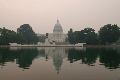
If there’s something to take comfort in amid this uncomfortable heat, it’s the air quality. According to the Metropolitan Washington Council of Governments, the air quality will be “moderate” during this muggy stretch.
The National Weather Service says the temperature had hit 93 degrees at Reagan National Airport as of 3:52 p.m., with a heat index of 103; it was 93 with a heat index of 101 at Dulles International Airport.
Outages
Forecast
Tuesday night: Scattered showers and thunderstorms ending by midnight. Partly cloudy, warm, muggy and uncomfortable overnight with patchy fog. Lows in the low to mid-70s.
Wednesday: Very hot and humid. Scattered afternoon and evening thunderstorms; some could be strong. Heat advisory in effect from noon until 8 p.m. Highs in the low to mid-90s, with a heat index over 100.
Thursday: Very hot and humid. Scattered afternoon and evening thunderstorms; some could be strong. Excessive heat watch from noon until 8 p.m. Highs in the mid- to upper 90s, with a heat index over 105.
Friday: Very hot and humid, with scattered afternoon and evening thunderstorms. Highs in the mid- to upper 90s and a heat index over 105.