Storm Team4 meteorologist Chuck Bell said it best: “For those who wait all winter for the hot and humid days of summer, your time is now.”
This week’s D.C. weather headline is and will probably continue to be a weeklong heat wave, with temperatures expected to breach 90 degrees every afternoon through Saturday, with only an outside chance of a passing storm. Humidity made a comeback Monday after a brief respite, sending heat indexes soaring to near or just over 100 for the rest of the week.
Wednesday will continue to be hot and humid, with scattered storms likely in the afternoon.
“Heavy rain and damaging winds are the biggest concerns,” NBC Washington meteorologist Amelia Draper said.
- Listen to WTOP online and on the radio at 103.5 FM or 107.7 FM.
- Current traffic conditions
- Weather forecast
- Closings and Delays
- Sign up for WTOP alerts
D.C.’s heat emergency plan has been activated through Wednesday, opening dozens of cooling centers across the city and warning against strenuous outdoor activity whenever avoidable.
“Residents and visitors should take extra steps to beat the heat by staying in the shade or air-conditioning, drinking plenty of water and visiting a cooling center,” the District said. “Periods of high heat and humidity can cause medical problems such as heat exhaustion and stroke.”
More information on dealing with extreme heat — including learning the symptoms of heat exhaustion, transportation to shelters and advice for pet owners — can be found on D.C.’s heat emergency page. A map of the District’s various cooling centers is available online.
A more significant chance for heavy rain comes Saturday with a cold front dipping into the region from lower Canada. Though exact timing is still uncertain, its passage will finally introduce somewhat cooler air for Sunday — which, if the forecast holds true, could be the first day in over a week with highs under 90.
“This pattern will favor some drying out early next week with afternoon highs remaining below 90 for four to five days,” Bell said. “Do your best to beat the heat. Stay hydrated and limit your time in the midafternoon sun.”
Forecast:
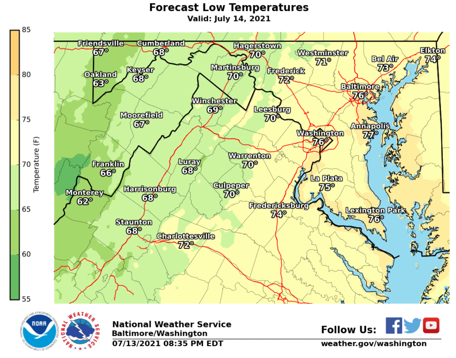
- Tuesday night: Mainly clear and muggy. Lows in the 70s.
- Wednesday: Mostly to partly sunny, hot and humid. Scattered afternoon showers or storms. Highs in the upper 80s to low 90s.
- Thursday: Mostly sunny, hot and humid. Highs in the low to mid 90s.
- Friday: Partly sunny, hot and humid. Scattered afternoon showers. Highs in the upper 80s to low 90s.


