By sunrise Saturday, temperatures were already near 80, and the day looks to reach a high in the mid-90s before afternoon showers provided the first chance for relief.
As the night sets in, a thunderstorm chance still lingers throughout parts of the D.C. area before conditions dry up by midnight.
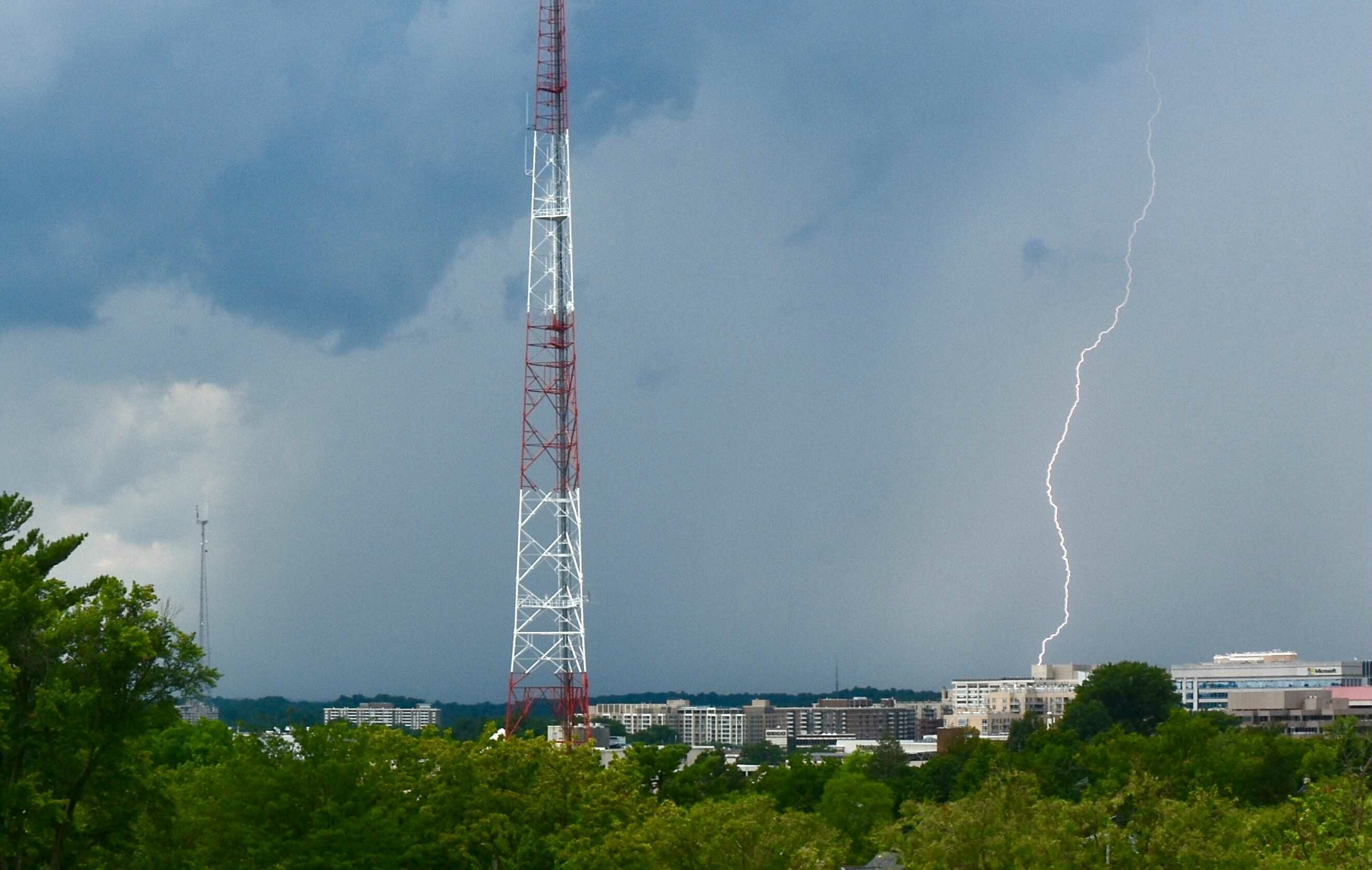
NBC Washington meteorologist Mike Stinneford reported that “some of these storms will be severe, with damaging winds and large the main threats.” He said a risk of flooding remains as well.
Once a cold front pushes through by the end of Saturday night, there will also be less humidity. Sunday is will be a nicer day as a result, though an isolated shower or storm chance is possible over the region’s southern suburbs.
Most of the D.C. area is under thunderstorm and flood watch until 11 p.m. Saturday.
The National Weather Service said a flash flood watch runs from Northern Virginia all the way to the Maryland/Delaware border along Interstate 95 starting at 2 p.m. and ending at 11 p.m.
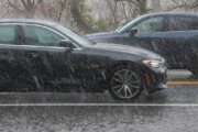
The weather service said some of the storms moving through the region had winds up to 70 mph and contained quarter-sized hail.
NBC Washington Meteorologist Lauryn Ricketts said early Saturday morning that the heat and humidity make for a “dangerous” combination.
As a result, the D.C. Heat Emergency Plan has been extended through Saturday, opening dozens of cooling centers across the city and a warning against strenuous outdoor activity whenever avoidable. A list of open cooling centers can be found online.
The chance of strong showers increases as the afternoon continues, with a severe thunderstorm watch until 11 p.m. Meteorologist Matt Ritter described Saturday’s humidity level as as “tropical.” The storms could bring high winds and hail. The storms should move toward the south overnight.
Storms may arise closer to D.C. around 3 p.m. or 4 p.m. on Saturday. Some could be strong to severe with damaging winds, frequent lightning and downpours.
Before the clouds move in, the humidity will make for a heat index as high as 107.
NBC Washington Meteorologist Matt Ritter said while the storms are scattered, some areas could be hit multiple times, increasing the threat of flooding.
Saturday comes on the heels of a scorching Friday, with temperatures reaching 95, and a humidity level that made it feel closer to 100.
Hyperthermia alert in place from 12 p.m. to 5 p.m. today ☀️🌡️ #BeatTheHeat
For signs of heat exhaustion and what to do if you experience those symptoms visit: https://t.co/eGS95FL18A #StayHydrated pic.twitter.com/56OmV5KwzF
— Montgomery County MD (@MontgomeryCoMD) July 17, 2021
NBC Washington Meteorologist Chuck Bell said July 16 and 17 are statistically the hottest days of the year, with temperatures reaching at least 90 degrees 73% of the time. This year is no different.
He said Sunday will see temperatures drop by about 10 degrees into the mid-80s.
Early next week, the temperatures will be somewhat milder but Tuesday will still reach the low 90s, Ricketts said.
- Listen to WTOP online and on the radio at 103.5 FM or 107.7 FM.
- Current traffic conditions
- Weather forecast
- Closings and Delays
- Sign up for WTOP alerts
Forecast
Saturday night: Any lingering showers and thunderstorms ending before morning. Turning a bit less humid north of DC. Otherwise warm and muggy. Lows in the mid 60s in the northwestern suburbs, low 70s elsewhere.
Sunday: Partly sunny. Seasonably very warm but not as oppressively humid. Chance of a few showers/t’storms toward central VA, far southern MD. Highs in the mid to upper 80s.
Monday: Mostly sunny. Very warm but pleasant. Highs in the upper 80s to near 90.
Tuesday: Hazy and hot. A bit more humid. Highs in the upper 80s to near 90.
Current weather
WTOP’s Abigail Constantino and Matthew Delaney contributed to this report.