After a brief respite from winter weather, snow returned to the D.C. region Wednesday, with several inches of accumulation likely to make roads slick for Thursday and Friday commuters.
The National Weather Service posted a Winter Weather Advisory for much of the area, effective 7 p.m. Wednesday to 10 a.m. Thursday: “Plan on slippery road conditions,” forecasters said, noting “hazardous conditions could impact the morning or evening commute.”
The region’s latest storm will come in two distinct rounds. The first arrived around 3 p.m. Wednesday, starting west of the District. That began as rain and slushy wintry mix, but cooling nighttime temperatures will have most of the area seeing plain snow after nightfall.
Around 2:30 p.m., Culpeper, Fauquier and Rappahannock counties in Virginia began seeing some light snowfall. Just before 3 p.m., snow was reported in Manassas, Virginia. The District started seeing flakes around 4:40 p.m.
- Listen to WTOP online and on the radio at 103.5 FM or 107.7 FM.
- Current traffic conditions
- Weather forecast
- Closings and Delays
- Sign up for WTOP alerts
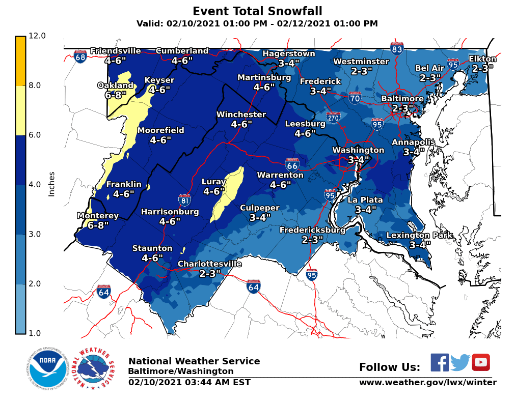
Thursday morning commuters can expect 1 to 3 inches of snowfall as a rough estimate, with higher amounts from the Blue Ridge west, and lower amounts in southern Maryland and Virginia near the Interstate 64 corridor.
A mix of snow and sleet will remain in the area for much of Thursday, but falling temperatures Thursday night will transition the majority of the region back to snow, with an additional 2 to 4 inches expected overnight, according to Storm Team 4 meteorologist Mike Stinneford.
Snow and sleet stick through Friday, with yet another chance of accumulating snow on Saturday — though it’s still too early for projections with that one, according to Storm Team 4 meteorologist Chuck Bell.
All areas will drop below freezing Thursday night, leading to a very icy Friday morning.
While none of the storms the region has dealt with recently have been blockbuster events on their own, the name of the game is slick roadways and treacherous driving conditions. As always, use extra caution if heading out early — especially on bridges, overpasses and highway ramps.
For the latest road and traffic conditions, see WTOP’s traffic page or listen to updates every 10 minutes online or on the air at 103.5 FM. Submit traffic tips by calling 866-304-WTOP or tagging @WTOPtraffic on Twitter.
Closings and delays
Prince William County Public Schools in Virginia will delay both in-person and virtual learning by two hours Thursday. The system recommends that families check with their schools for more specific times.
The first shift at FBI Winchester will have a two hour delay.
D.C. said while its vaccination sites will open on time Thursday, its public coronavirus testing sites will be closed.
WTOP’s Zeke Hartner contributed to this report.
Forecast
- Wednesday: Cloudy and colder, with wintry mix already starting in the afternoon for some areas. Highs in the mid-30s to low 40s.
- Thursday: A mix of rain and snow in the morning. Snow resumes in the evening and into the overnight hours. Temperatures ranging from the low to mid-30s.
- Friday: Cloudy and cold, with a chance of snow showers. Highs in the mid 20s to low 30s.
- Saturday and Sunday: Possibility of rain and freezing rain, with highs in the 30s.