After a surge of moisture brought some morning snow and rain to the D.C. area, there’s a bit of a lull before the next weather-maker moves into the region Thursday evening, mainly over the southern suburbs, which will see some light snow and sleet.
The second storm could bring the potential of snow Thursday night through Friday morning.
A winter weather advisory has been issued from 4 p.m. Thursday through 7 a.m. Friday for much of central Virginia, from Stafford County and Fredericksburg, to points south along the Interstate 95 corridor. Those areas can expect some snow and ice accumulations.
“The bulk of this system will be south of the District, so areas that got a lot of snow last night and this morning won’t from this system,” Storm Team 4 meteorologist Matt Ritter said.
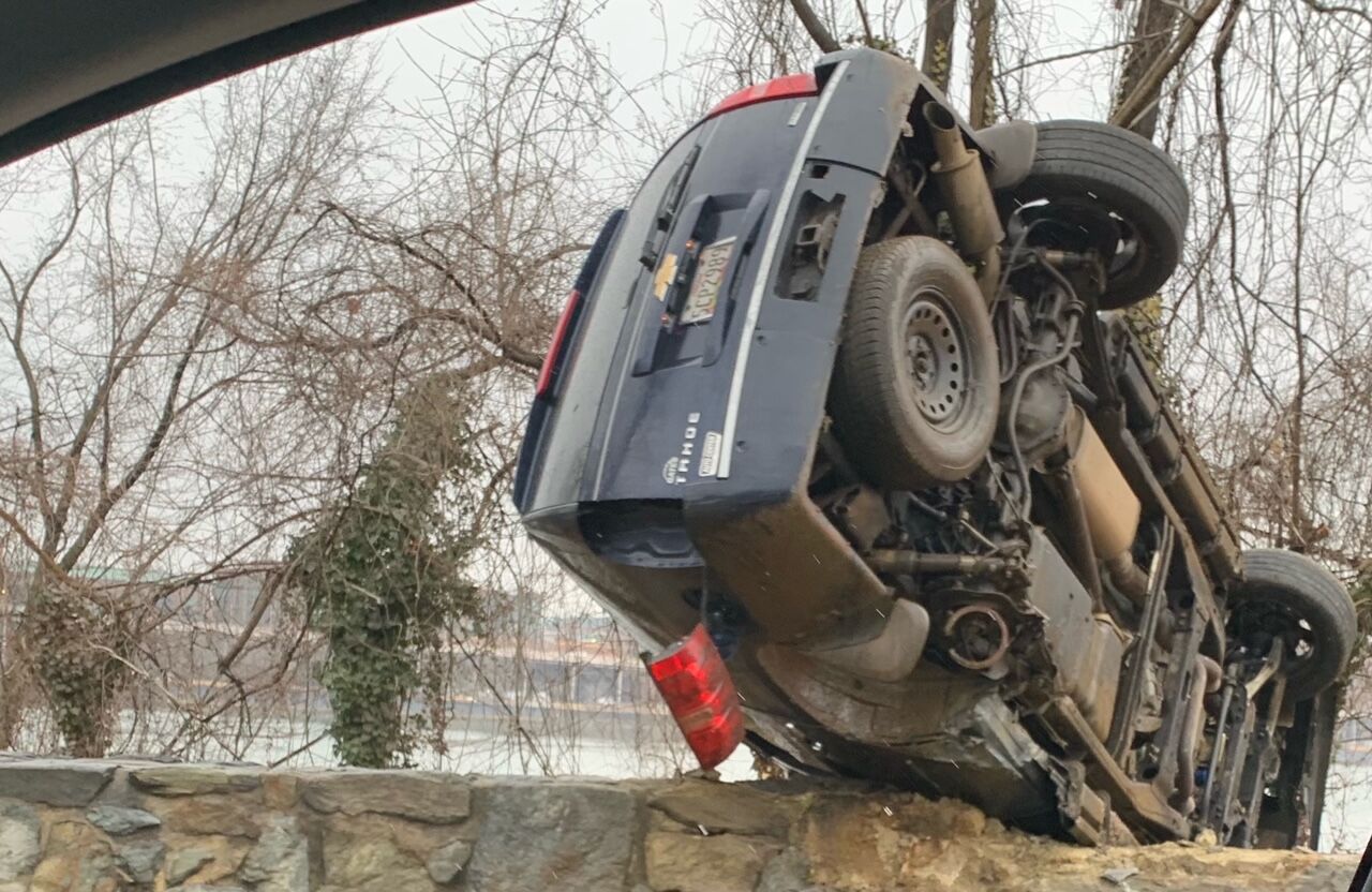
While none of the storms the region has dealt with recently have been blockbuster events on their own, the name of the game is slick roadways and treacherous driving conditions.
Storm Team 4 Mike Stinneford said there could be 1 to 3 inches of snow overnight over the southern suburbs, mainly over the far southern Virginia suburbs.
Precipitation will end Friday morning, and another lull will follow until precipitation returns Saturday, most likely starting as snow and then transitioning to sleet and freezing rain. Significant icing could happen by late Saturday afternoon and Saturday night, Stinneford said.
- Listen to WTOP online and on the radio at 103.5 FM or 107.7 FM.
- Current traffic conditions
- Weather forecast
- Closings and Delays
- Sign up for WTOP alerts
By Thursday morning, authorities in Maryland responded to more than 100 crashes.
Maryland State Police said they responded to a total of 102 crashes from 4 p.m. Wednesday to 10 a.m. Thursday. Troopers responded to another 74 disabled or unattended vehicles and answered more than 700 calls for service, according to an update on Twitter.
A few inches of fresh snow makes for picture postcard beauty, north of Leesburg ——and a slushy commute on Route 15. @WTOPtraffic pic.twitter.com/Bx78XA2nID
— Neal Augenstein (@AugensteinWTOP) February 11, 2021
As always, use extra caution if heading out early — especially on elevated surfaces that freeze first like bridges, overpasses and highway ramps.
“The speed limit signs are for ideal weather conditions, so on days like today you’ll want to drive around 10 miles per hour slower,” Shantee Felix, a spokeswoman for the Maryland Department of Transportation’s State Highway Administration, told WTOP.
“If you are on the road, please increase your following distance between other vehicles as well as our equipment,” Felix said. “Don’t crowd the plow.”
A brief look at Presidents Day weekend snow
If Presidents Day in the nation’s capital conjures snowy memories, consider this: Measurable snow fell in D.C. on six out of the last 20 Presidents Day weekends. About 3 inches fell on Presidents Day in both 2015 and in 2016.
Two of the region’s top snowstorms of all time entered the record books on Presidents Day. In 2003, a weekend-long onslaught of heavy snow culminated that Monday with more than 16 inches piling up at Reagan National Airport, and more than 2 feet measured north and west of D.C.
The 2003 storm was well forecast, compared to the original Presidents Day snowstorm of 1979. That surprise blizzard produced 18.7 inches of wind-driven snow by Monday, Feb. 19, 1979, and retains its ranking as the third-greatest snowstorm on record for D.C. to this day.
Presidents Day in 2008 was warm and wet but, less than a week before, on Feb. 12, one of the worst ice storms in a decade brought the region to a skidding halt.
A quarter- to half-inch of ice encased most exposed surfaces. The steady accretion of ice on roads coincided with rush hour, which led to countless crashes and resulted in one of the greatest weather-induced traffic debacles in recent memory. The 2008 ice storm marked the last time the region endured such heavy and impactful freezing rain.
For the latest road and traffic conditions, see WTOP’s traffic page or listen to updates every 10 minutes online or on the air at 103.5 FM. Submit traffic tips by calling 866-304-WTOP or tagging @WTOPtraffic on Twitter.
Forecast
- Thursday: Light to moderate snow from the District southward. Snow may mix with rain and sleet at times. An accumulation of 1 to 3 inches possible, mainly well south. Little or no accumulation over the northern suburbs. Lows from 25 to 30
- Friday: A mix of light snow and sleet in the southern suburbs ending in the morning. Cloudy and cold in the afternoon. Highs in the upper 20s to mid-30s
- Saturday: Snow developing in the morning, then changing over to sleet and freezing rain. Significant icing is possible. Highs in the upper 20s to lower 30s
- Sunday: Light freezing rain early, then cloudy and cold. Highs in the low to mid-30s
- Monday: Mostly cloudy and cold. Highs in the 30s
Current conditions
WTOP’s Dave Dildine, Teta Alim, Fonda Mwangi and Neal Augenstein contributed to this report.


