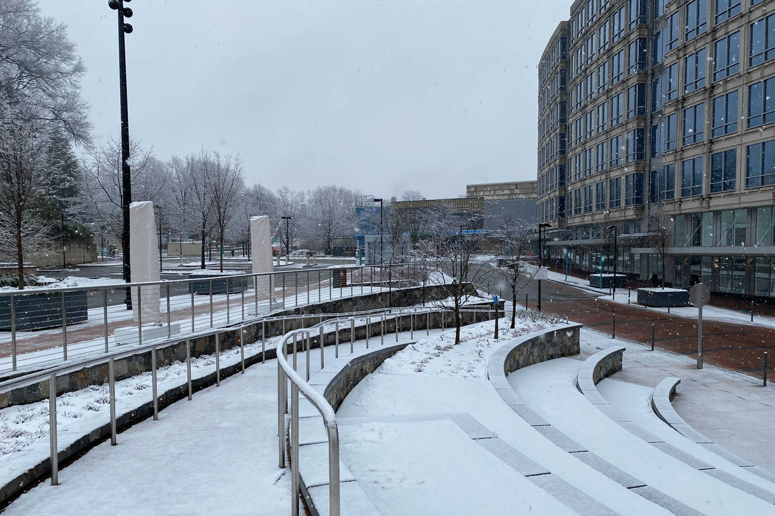
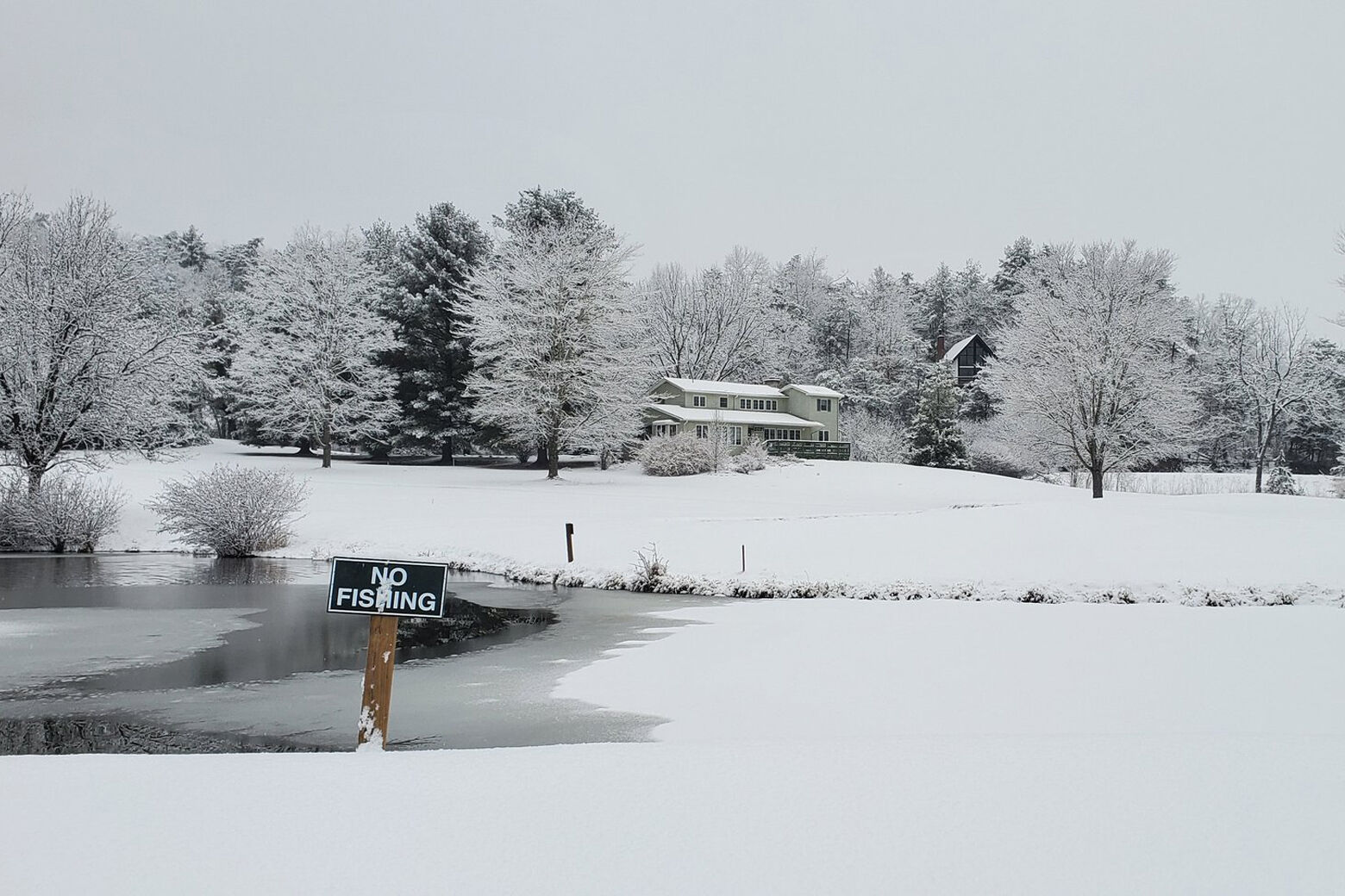
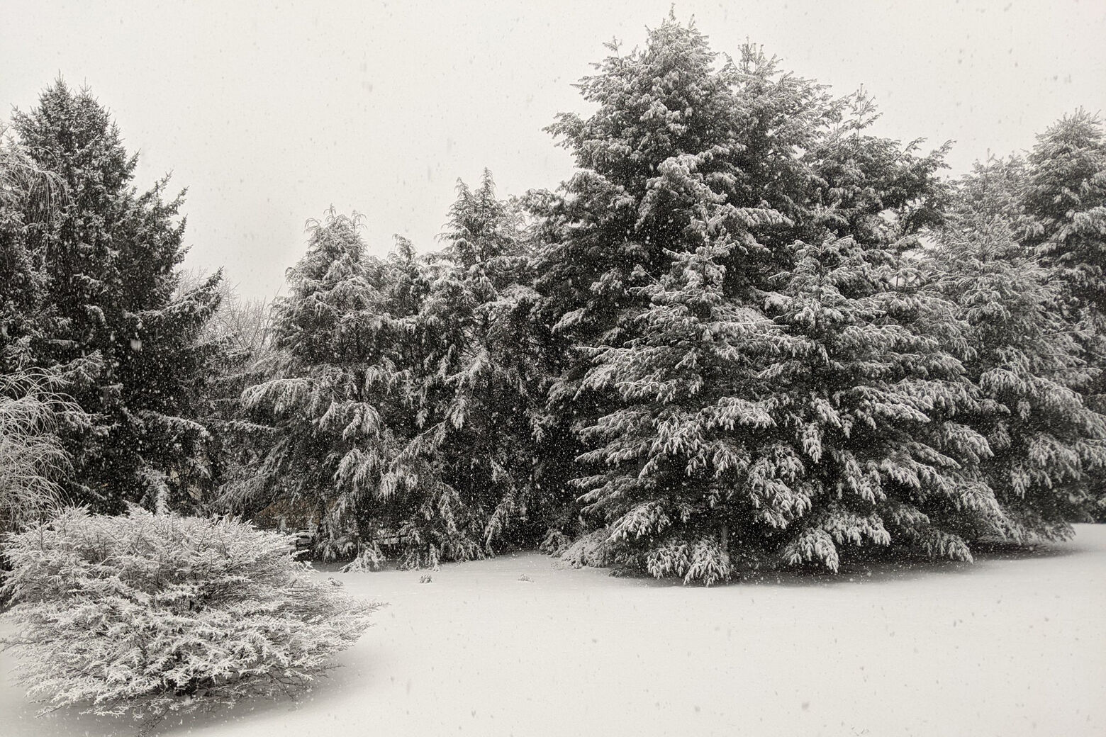
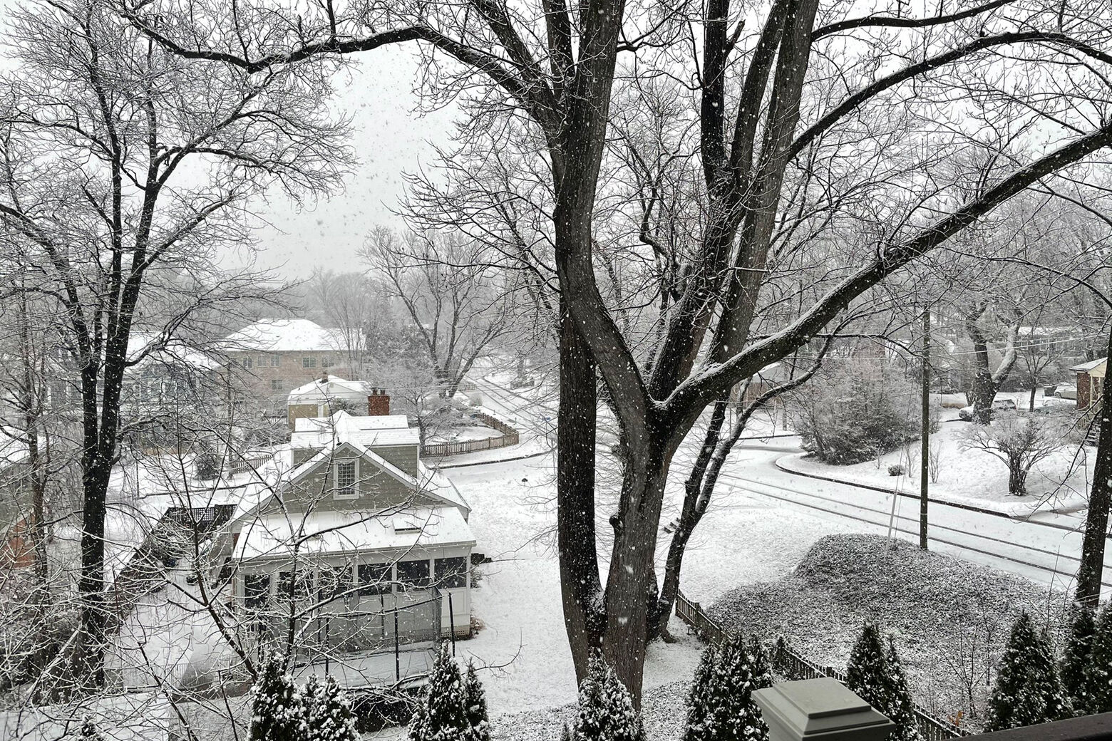
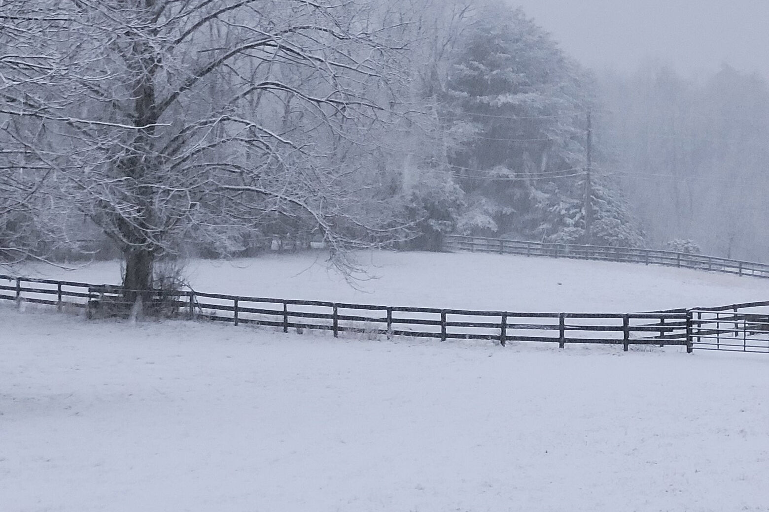

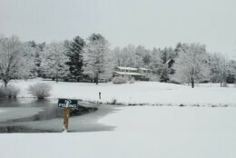
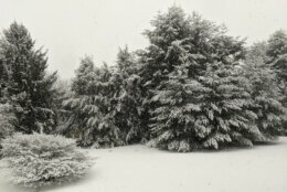
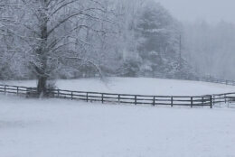


The fast-moving winter snowstorm that blasted the D.C. region on Sunday with as much as 5.5 inches of snow in one part of Maryland’s Frederick County eventually made way for afternoon sunshine.
But plummeting temperatures after nightfall were expected to cause all standing water and slush on area roadways to refreeze, leading to icy driving conditions during Monday’s morning work commute, according to Storm Team4 meteorologist Mike Stinneford.
He said Monday will be a cold day with high temperatures “only in the 30s.” There could be some travel issues early Tuesday too, as a “light wintry mix” moves in, Stinneford said.
He warned that the D.C. region could experience another chance of snow and ice late Wednesday night into Thursday.
A winter weather advisory in effect for D.C.-area counties along the Interstate 95 corridor, southern and eastern Maryland, and the I-81 corridor expired at noon on Sunday.
During the storm on Sunday morning, one National Weather Service employee measured 3 inches of snowfall in Frederick County, Maryland as of 8:30 a.m. Nearly an inch had already fallen in northwest Montgomery County by 7 a.m., according to an unofficial observation provided by the National Weather Service.
In Virginia, another National Weather Service employee said 1.5 inches of snow had fallen in Herndon by 8:14 a.m. An observer in Round Hill said 2.6 inches had fallen by 7:35 a.m. Stephens City had 3 inches by 7:55 a.m., according to an unofficial observation provided by the National Weather Service.
The latest snowfall totals complied by the National Weather Service are located on its website.
Here’s what you need to know:
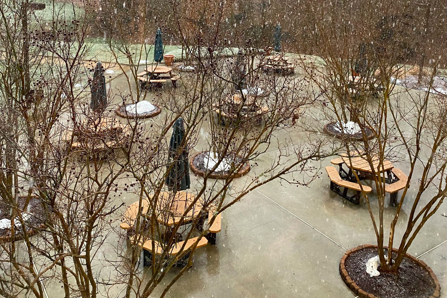
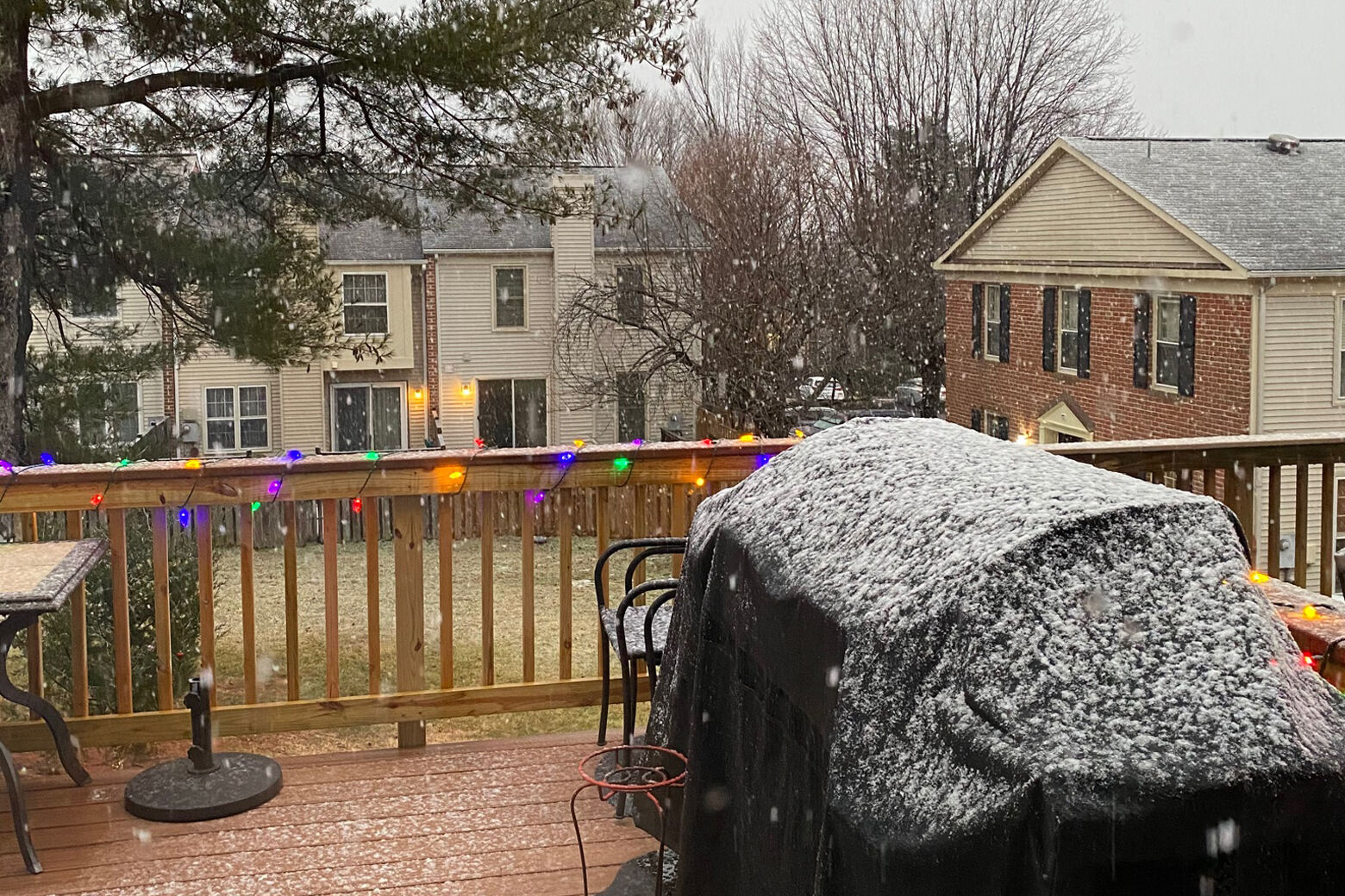
- Muted snow totals: Drier and somewhat warmer air than initially forecast means much of the area will see between two and four inches of a wet, compacted and slushy snowfall by the time it all wraps up this afternoon.
- Overnight refreeze: A frigid air mass moves in behind this storm Sunday night, leading to a significant refreeze of any slush or standing moisture on the ground — meaning Monday’s commute could be treacherous much like last week’s.
- Got photos? Tweet them at WTOP, if you can do it safely.
- Listen to WTOP online and on the radio at 103.5 FM or 107.7 FM.
- Current traffic conditions
- Weather forecast
- Closings and Delays
- Sign up for WTOP alerts
Make for extra travel time if you must be travel out there, and use caution on bridges, highway ramps, overpasses and secondary roads that ice over easily or might not be treated as frequently.
Road conditions and mass transit
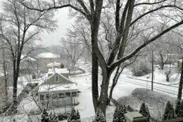
WTOP’s Acacia James reported rain and snow left roadways slippery in Prince George’s County, but road crews had salted major roadways “pretty well.”
In Alexandria and Arlington, WTOP’s Melissa Howell reported that although snow was coming down at a steady pace into late Sunday morning, not much was sticking to major roadways.
“If you’ve got your wipers and lights on, you shouldn’t have any major issues out here on the roads,” said Howell.
For the latest road and traffic conditions, see WTOP’s traffic page or listen to updates every 10 minutes online or on the air at 103.5 FM. Submit traffic tips by calling 866-304-WTOP or tagging @WTOPtraffic on Twitter.
Forecast:
- Sunday night: Partly cloudy, breezy and much colder with refreeze. Lows in the upper teens to mid 20s.
- Monday: Mostly sunny and cold. Highs in the mid 30s.
- Tuesday: A light wintry mix changing to rain. Highs in the mid 40s.
- Wednesday: Mostly cloudy and cold. Highs in the mid to upper 30s.