Friday storms could bring wind, heavy rain; flash flood watch issued

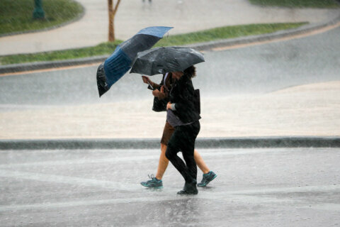
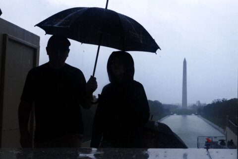
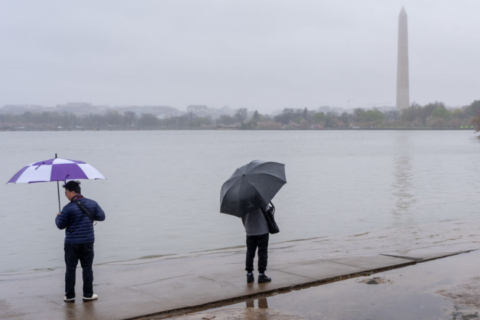
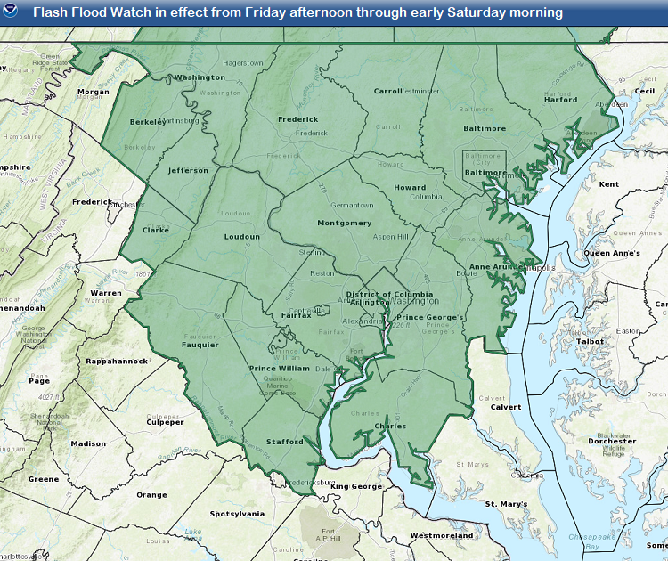
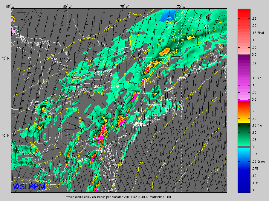
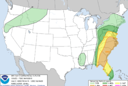
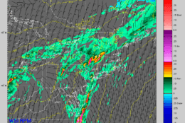
A major storm system forming in the South will bring severe weather to the D.C. region as the National Weather Service issued a flash flood watch for Friday afternoon, lasting through late Friday night.

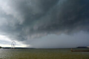
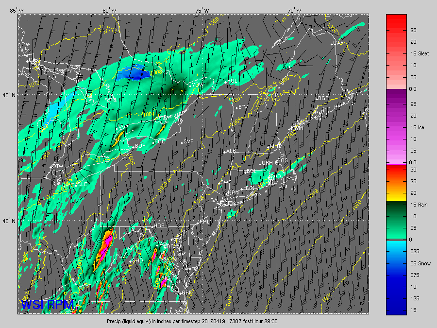
Clusters of scattered thunderstorms will arrive in the early to mid-afternoon Friday, while a line of storms forms to the west in the mountains near the cold front.

The vigorous storm system forming in the Deep South will be lifting out Thursday night, heading toward the D.C. area, and it will be impacting the region Good Friday afternoon.

The primary threat in the afternoon and evening will be strong winds and some hail, but the heavy rainfall threat could last all the way into early Saturday morning. Comparatively speaking, the worst of the weather will be south of the area, but it will be close enough to impact.


What to expect

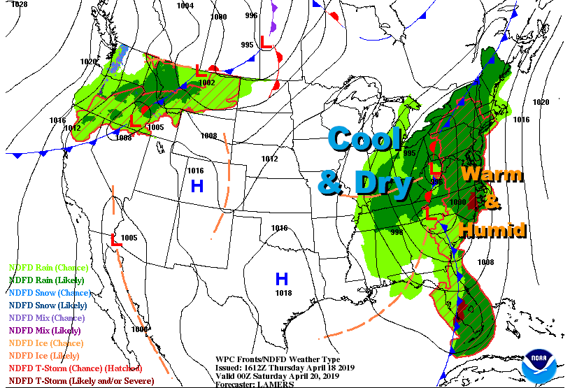
A warm front will be well to the north of the D.C. area on Friday morning, and very humid air from the Gulf of Mexico will be transported into the area by a deep southerly wind flow. Meanwhile, temperatures will be almost as warm as Thursday, limited only by cloud cover.

Counties included in the flash flood watch, which will go into effect Friday afternoon, lasting into Saturday morning. (Courtesy National Weather Service, NOAA)
The surface map for Friday afternoon shows the scenario of a deep layer of warm and humid air ahead of the strong front and strong low pressure system which will be lifting up through the mountains. The contrast with the cool and dry air on the other side of the front is contributing to the severe weather threat. (Courtesy Weather Prediction Center, NOAA)
The Storm Prediction Center has the D.C. area outlooked for a "Slight Risk" of severe thunderstorms on Friday, with the "Enhanced Risk" area too close for comfort. This image was produced Thursday afternoon and will change with time. An explanation of these categories can be <a href="https://www.spc.noaa.gov/misc/about.html">found here</a>. (Courtesy Storm Prediction Center/NOAA)
The Storm Prediction Center has the D.C. area outlooked for a “Slight Risk” of severe thunderstorms on Friday, with the “Enhanced Risk” area too close for comfort. This image was produced Thursday afternoon and will change with time. An explanation of these categories can be found here. (Courtesy Storm Prediction Center/NOAA)
The Weather Company's RPM computer model simulated the future radar in these images. They are "snapshots" in time from early Friday afternoon through early Saturday morning, showing the scattered storms arriving first, followed by the solid line with heavy downpours moving through at night, necessitating the flash flood watch. (Courtesy The Weather Company)
The Weather Company’s RPM computer model simulated the future radar in these images. They are “snapshots” in time from early Friday afternoon through early Saturday morning, showing the scattered storms arriving first, followed by the solid line with heavy downpours moving through at night, necessitating the flash flood watch. (Courtesy The Weather Company)
(1/7)
Counties included in the flash flood watch, which will go into effect Friday afternoon, lasting into Saturday morning. (Courtesy National Weather Service, NOAA)
The surface map for Friday afternoon shows the scenario of a deep layer of warm and humid air ahead of the strong front and strong low pressure system which will be lifting up through the mountains. The contrast with the cool and dry air on the other side of the front is contributing to the severe weather threat. (Courtesy Weather Prediction Center, NOAA)
The Storm Prediction Center has the D.C. area outlooked for a "Slight Risk" of severe thunderstorms on Friday, with the "Enhanced Risk" area too close for comfort. This image was produced Thursday afternoon and will change with time. An explanation of these categories can be <a href="https://www.spc.noaa.gov/misc/about.html">found here</a>. (Courtesy Storm Prediction Center/NOAA)
The Weather Company's RPM computer model simulated the future radar in these images. They are "snapshots" in time from early Friday afternoon through early Saturday morning, showing the scattered storms arriving first, followed by the solid line with heavy downpours moving through at night, necessitating the flash flood watch. (Courtesy The Weather Company)

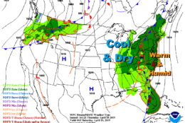
With unseasonable warmth, unseasonably high humidity levels and a deep area of low pressure lifting up the Appalachian Mountains, bringing a strong cold front with it, all the ingredients will be in place for strong storms. It can be thought of as a high efficiency engine with a good fuel source; the highest “octane,” the most humidity and most unstable air, will be in southern Virginia into the Carolinas. But any extra sunshine and higher temperatures would increase the severe weather threat even more than is already thought.

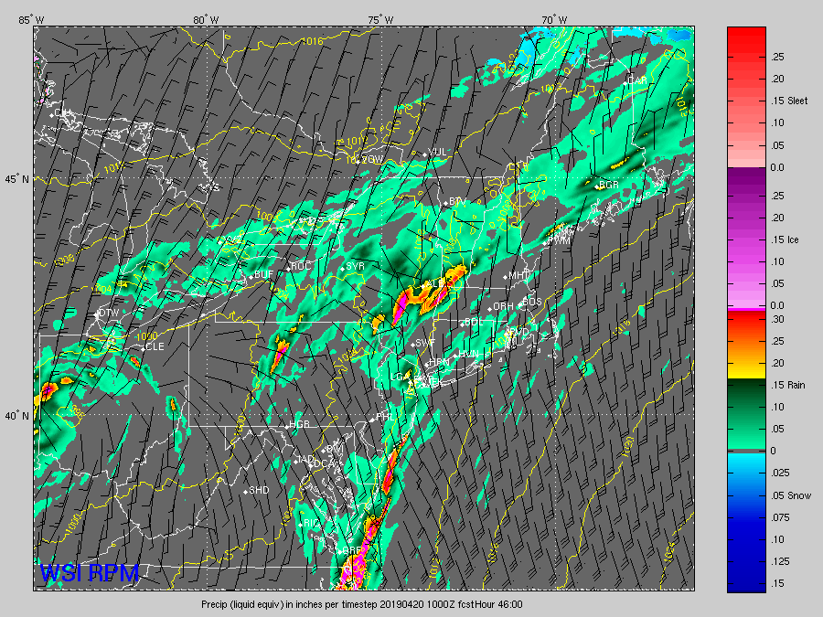
Clusters of scattered thunderstorms will arrive in the early to mid-afternoon, while a line of storms forms to the west in the mountains near the cold front. The afternoon scattered storms will have the damaging winds and hail threat with brief heavy downpours.

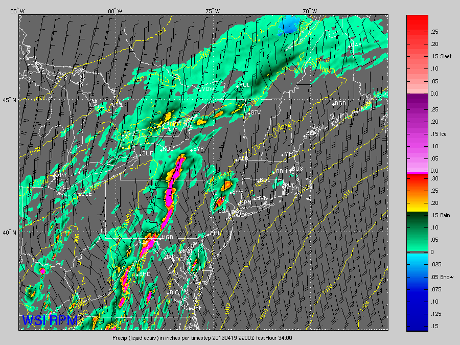
The line moving in with the cold front at night will have a fairly solid line of thunderstorms with heavy downpours slowly moving west to east, so the repetitive storms will have the potential to really add up the rain totals.

And that’s when there could be some flooding of roads and small streams and creeks.

The front and the line of storms will have moved to the east by midday Saturday, and less humid and cooler air will continue moving in. The old storm center, the area of low pressure, will slowly drift through the area over the weekend.

Though that means the severe weather threat will be over, the atmosphere will be unstable enough for spotty showers on Saturday and first thing Easter Sunday morning. Sunrise services may not see much sunrise at all, but toward the end of the day, the sun will likely be breaking through clearing clouds.


Forecast

Thursday night: Mostly clear. Warm and pleasant. Temperatures falling into the low 70s to upper 60s after sunset.

Friday: Weather Alert Day. Mostly cloudy. A few showers in the morning, then thunderstorms arriving in the afternoon and evening. Some will be strong to severe, and rain may be heavy. Highs: low to mid 70s.

Saturday: Cloudy, breezy and cooler. A few scattered showers. Highs: upper 60s to low 70s.

Sunday: Partly sunny. A chance of a shower, mainly before noon. Highs: mid to upper 60s.


Current conditions

Valerie Bonk

Valerie Bonk started working at WTOP in 2016 and has lived in Howard County, Maryland, her entire life. She's thrilled to be a reporter for WTOP telling stories on air. She works as both a television and radio reporter in the Maryland and D.C. areas. 

Federal News Network Logo
Log in to your WTOP account for notifications and alerts customized for you.

Sign up