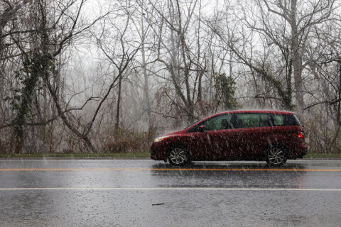
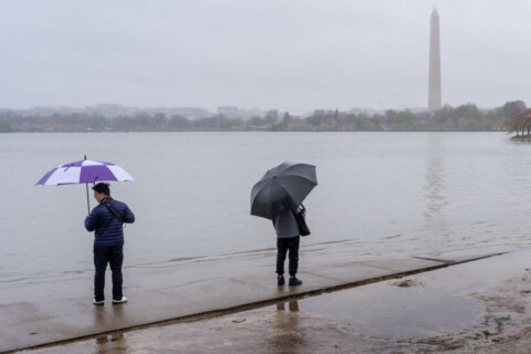
WASHINGTON — Hope you enjoyed the relatively mild weekend because the D.C. region is poised to get smacked with some wicked weather this week — not one but two storms are on the horizon.
- Listen to WTOP online and on the radio at 103.5 FM or 107.7 FM.
- Current traffic conditions
- Weather forecast
- Closings and delays
- Sign up for WTOP alerts
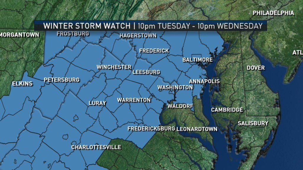
A Winter Storm Watch has been issued by the National Weather Service for much of the area from 10 p.m. Tuesday to 10 p.m. Wednesday.
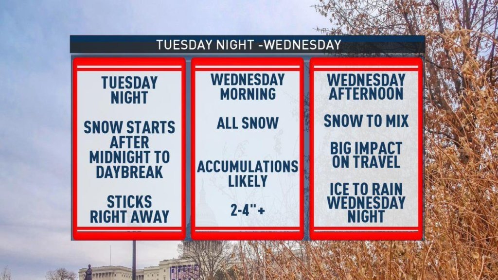
Forecasters predict heavy snow starting after midnight Tuesday and lasting until around lunch Wednesday, when the area should see the snow switch over into a mix before changing into rain.
Snow accumulations of 5 or more inches are possible, as well as a quarter inch or more of ice.
According to Storm Team4 Meteorologist Chuck Bell, 3 to 6 inches of snow is likely between 5 a.m. and 5 p.m. Wednesday before warmer air turns it into a wintry mix during the afternoon. It will then turn into rain late Wednesday night into Thursday morning.
“Most everybody should have snow coming down by daybreak Wednesday morning,” Storm Team4 Chief Meteorologist Doug Kammerer said. “By lunchtime we will start to see snow changing to a mix from the south to the north and after dinner, the mix and snow should begin changing to all rain.”
“The longer the cold air stays in place, the bigger snow amounts we will see,” said Storm Team4 Meteorologist Lauryn Ricketts.
“This particular storm promises misery,” Bell said.
Expect a mess of a morning commute Wednesday, and widespread school cancellations and delays, according to Bell.
“Nobody is going to be happy,” he said.
Temperatures will rise into the 30s Wednesday and hold steady.
Bell also warns that areas north and west of the District could see a much longer period of snow and possibly sleet or freezing rain Wednesday night.
Ricketts says to be on the lookout for flooding Thursday, since most snow accumulation from Wednesday will likely melt Thursday with temperatures topping out around 50 degrees.
She said they don’t anticipate there being any early school dismissals Tuesday, but said it’s believed that most if not all schools will be closed Wednesday.
Most schools will likely have delayed openings Thursday.
The rain is expected to taper off by Thursday evening, and Friday looks dry, but yet another storm is predicted to arrive for the weekend and could stay in the area until Sunday.
Roads
In anticipation of the storm and hazards on the roadways, the Virginia Department of Transportation announced Monday that it would be pre-treating I-95 and interstate ramps in the Fredericksburg area.
The process is slated to start at 8 p.m., and VDOT says travelers should expect brief overnight delays, but pre-treatment should end before the Tuesday morning rush hour commute.
“Tanker trucks pre-treating I-95 travel together at approximately 35 mph,” VDOT said in a release. “The mobile operation is escorted by a law enforcement vehicle. Slower travel speeds are required to spray the salt brine onto the interstate with precision, and to ensure an adequate amount is absorbed in the pavement.”
The agency is imploring drivers to keep their eyes — and ears — open for the latest on the storm.
- Listen to WTOP online and on the radio at 103.5 FM or 107.7 FM.
- Current traffic conditions
- Weather forecast
- Closings and delays
- Sign up for WTOP alerts
Forecast:
TONIGHT: Mostly cloudy. A stray flurry or two in northern Maryland early. Diminishing winds.
Lows: mid to upper 20s.
TOMORROW/TUESDAY: Increasing clouds. Unseasonably chilly.
Highs: upper 30s to low 40s.
WEDNESDAY: Cloudy with snow arriving before the morning rush. 2”-4” potential accumulation in most of the area, slightly higher amounts in the far northern and western suburbs. Changing to sleet and freezing rain which will last most of the midday hours til the evening rush. Then changing to plain rain in the evening.
Highs: low to mid 30s.
THURSDAY: Rain ending during the afternoon. Milder and more seasonable.
Highs: mid 40s to near 50.


