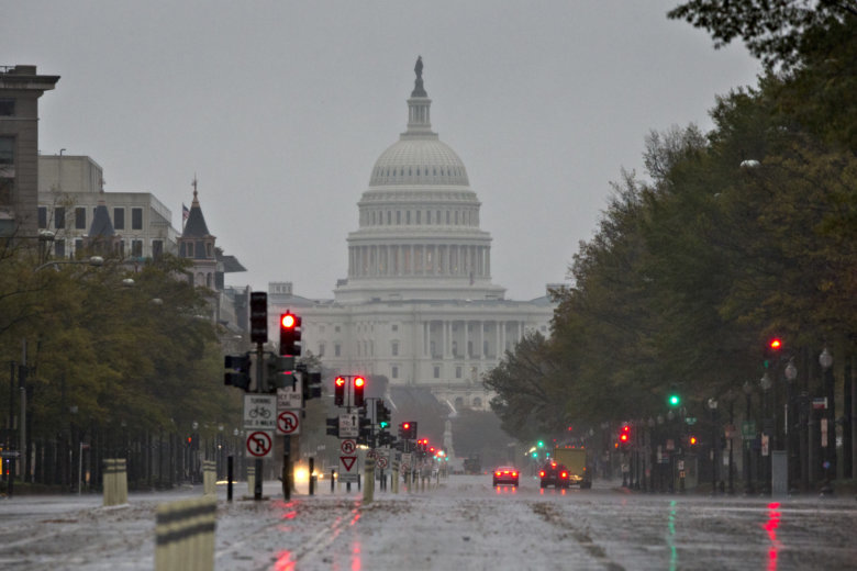
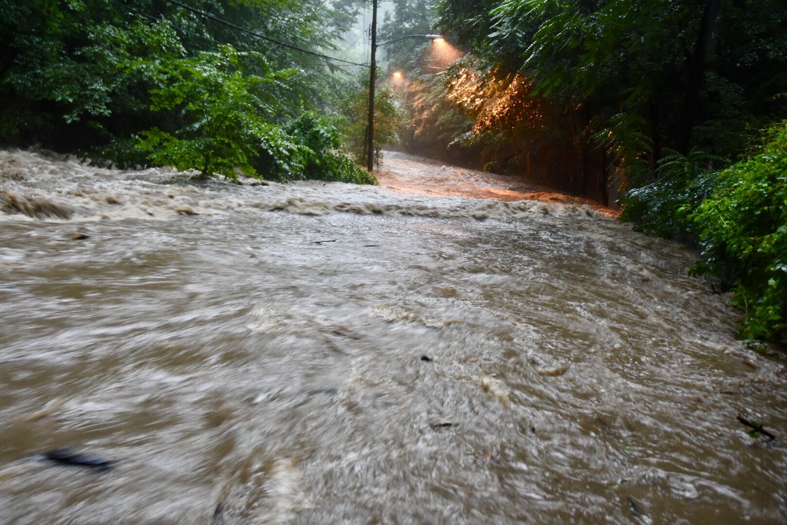
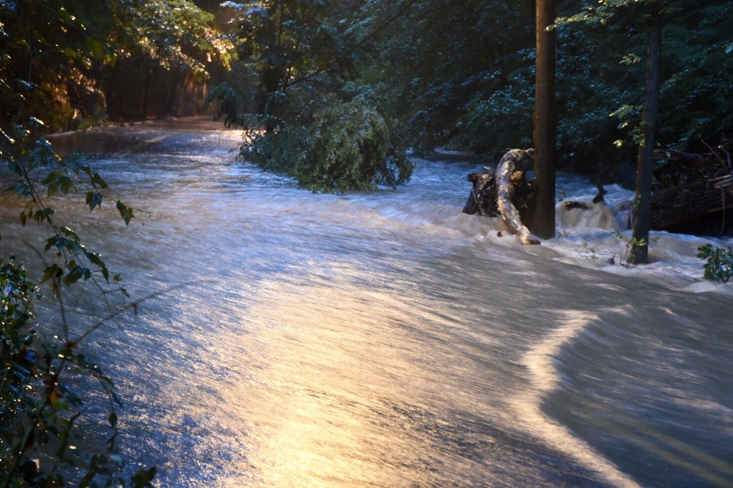
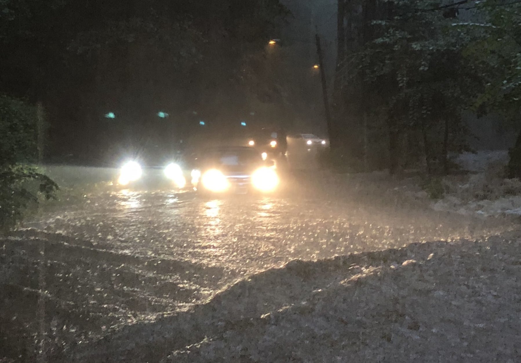
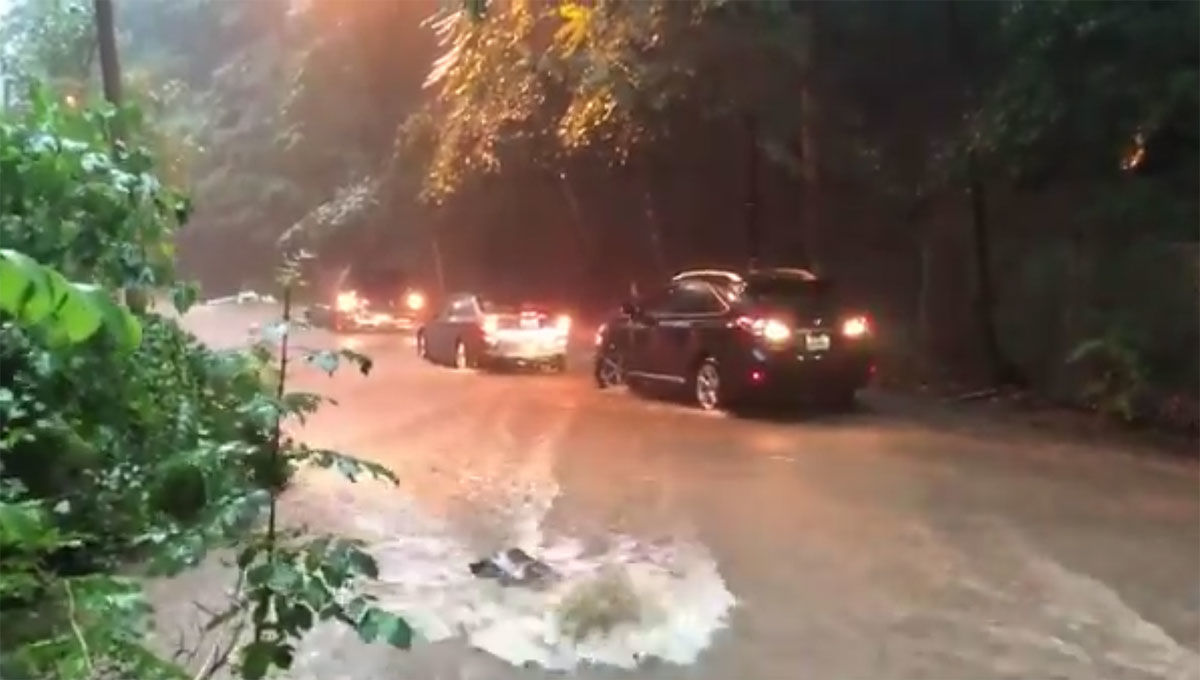
WASHINGTON — The wild stretch of wet summer weather has drenched the D.C. area with more and more rainfall on top of already waterlogged ground.
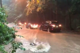
A barrage of soaking storms over the past two weeks, including an isolated downpour over the weather observation station at Reagan National Airport last Tuesday, has done more than just dislodge manhole covers — they dislodged several daily rainfall records, including one that was set back in 1911.
With a few more days remaining in July, the 9.19 inches of rain recorded so far triples the monthly average and puts the month in the Top 10 wettest of all time.


July 1945 was the wettest on record. By the end of that month, 11.06 inches of rain were in the books.
“What we’ve just gone through over the last 10 days certainly isn’t unprecedented, but doesn’t happen often and it leaves an impression when it does,” said Jason Elliott, senior service hydrologist with the National Weather Service in Sterling, Virginia.
Elliott and his colleagues have been working tirelessly to warn the public with a seemingly endless stream of flash flood watches and warnings.
Barely halfway through the year, the District is closing in on its annual average precipitation. The 34.37 inches that have fallen since Jan. 1 are only about 5 1/2 inches short of the total amount of rain and snow melt expected in any given year.
“It’s not even the end of July yet — we’ve had almost as much rain so far this year as we had all of last year,” Elliott said.
Heavy summer rainfall in this region is typically caused by errant tropical storms and hurricanes that wash ashore and meander inland.
Although there was a feed of tropical moisture aimed at the eastern seaboard like a fire hose over the past week, the bulk of the rainfall came from the polar opposite of a tropical system. The abnormal development of a nor’easter over Delmarva last weekend, a phenomenon usually reserved for the fall and winter months, ended up delivering four to six inches of rain the D.C. area.