


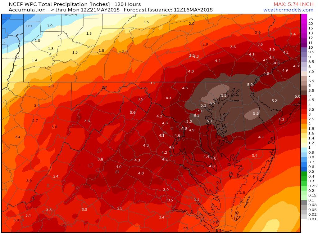
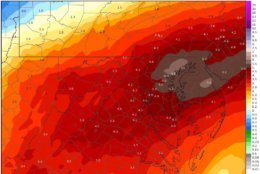
Here's a look at the expected rainfall totals over the next 24 hours. In combination with the plethora of rainfall we have seen the past several days, Flood Watches and Warnings are issued across the area. https://t.co/5RyZgpeTAT #DCwx #MDwx #VAwx #WVwx pic.twitter.com/n0YEgz1wOF
— NWS DC/Baltimore (@NWS_BaltWash) May 18, 2018
dir="ltr">It takes just 12 inches of rushing water to carry away a small car. It is NEVER safe to drive or walk into flood waters. Remember: turn around, don' t drown! #FloodSafety pic.twitter.com/vMrco01Cc0— Charles Co Sheriff (@CCSOMD) May 18, 2018

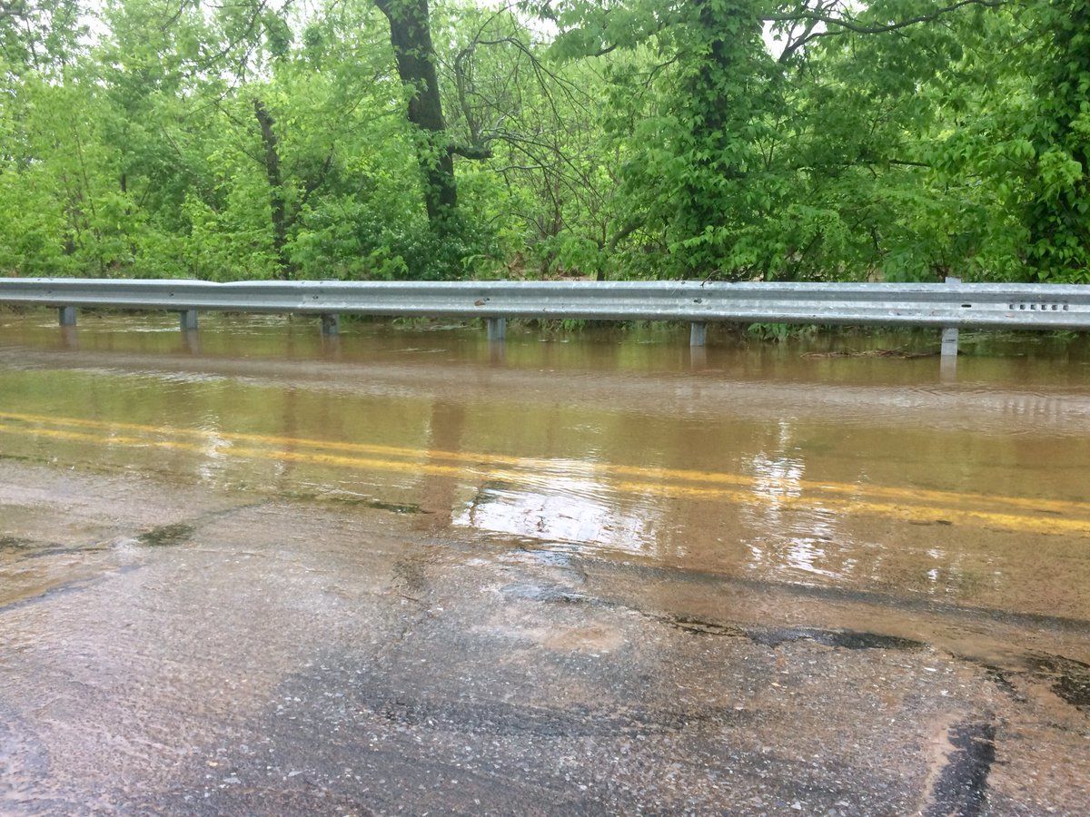
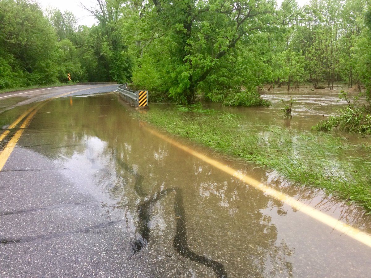
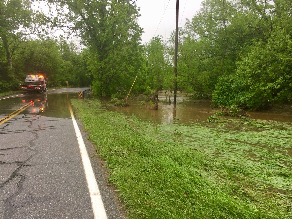
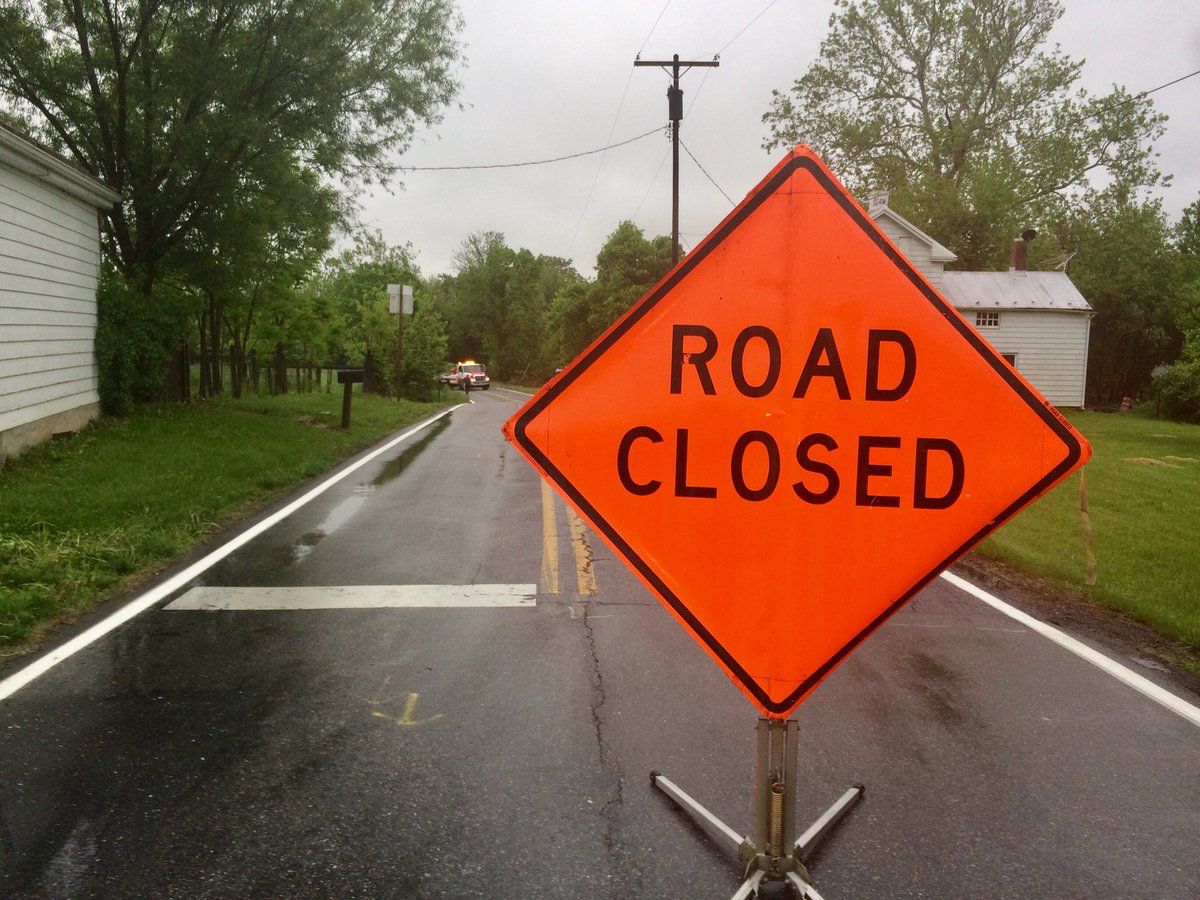
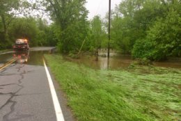
Car spun off flooded out Willowbrook Rd in Frederick. Now being hauled out of standing water. @WTOP pic.twitter.com/F4VTG3aiS4
— Nick Iannelli (@NickWTOP) May 17, 2018

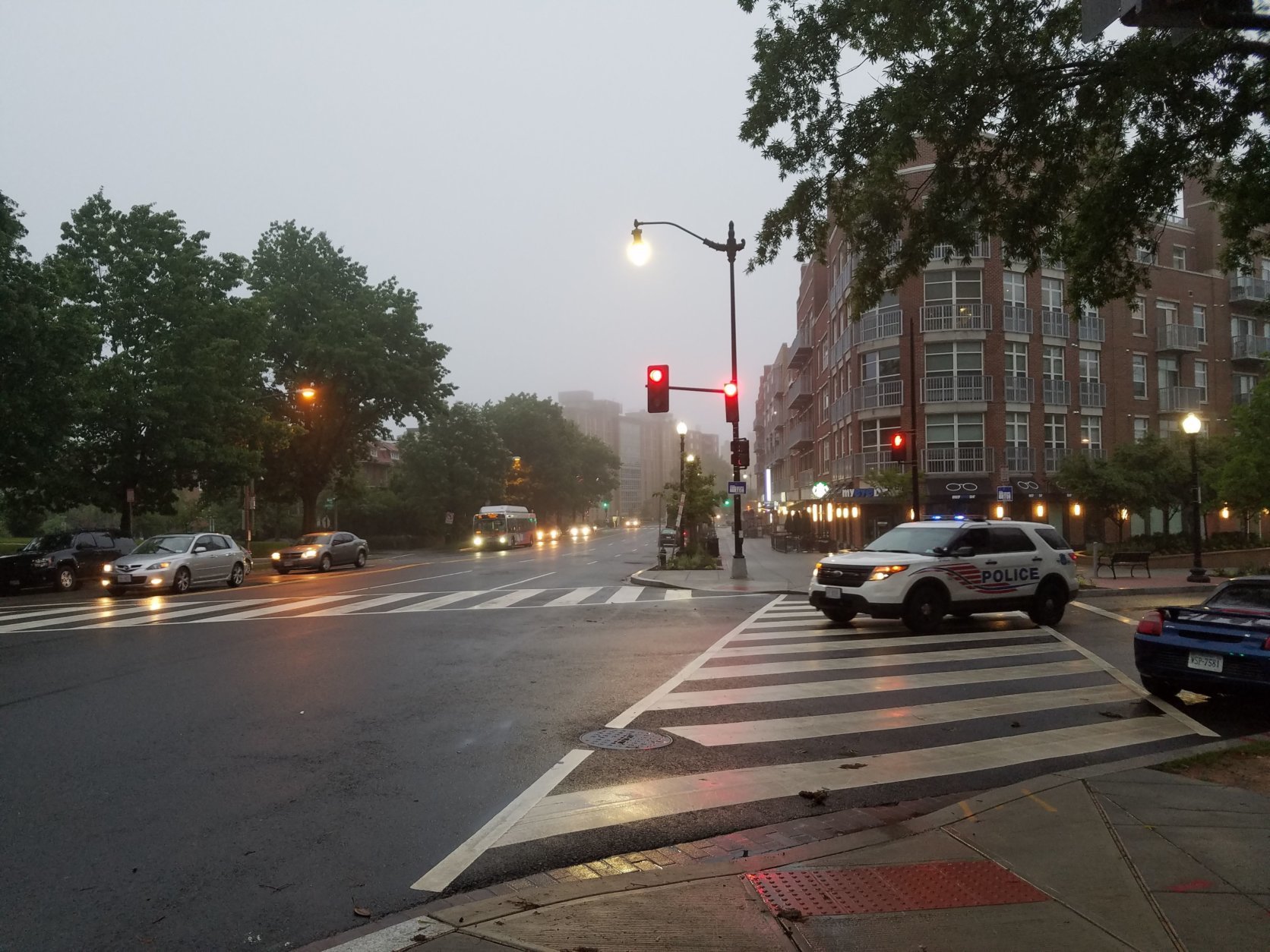



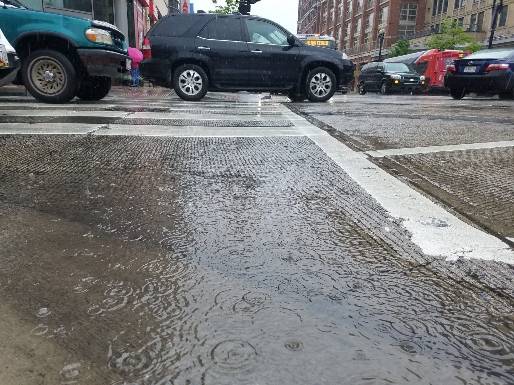
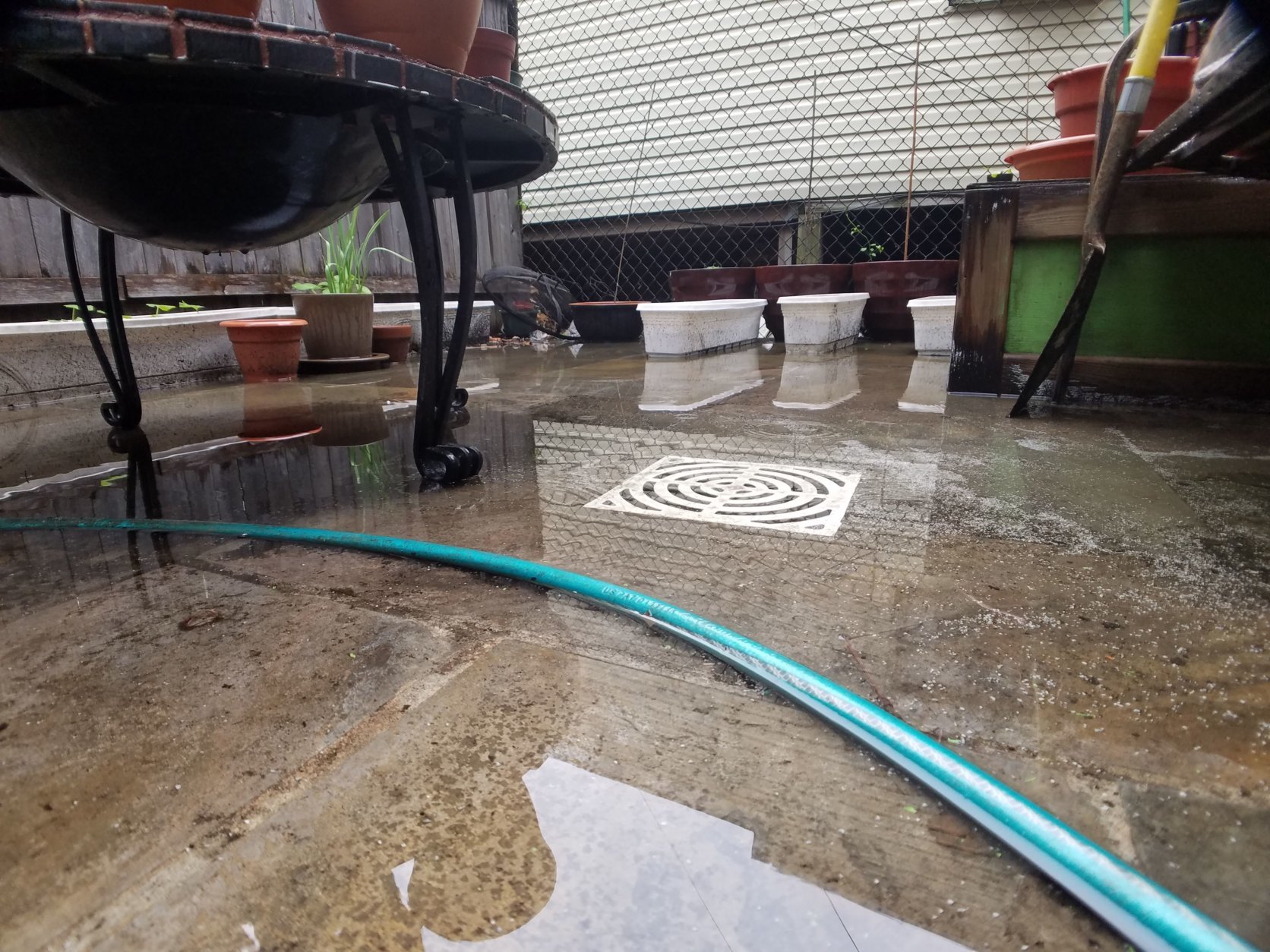
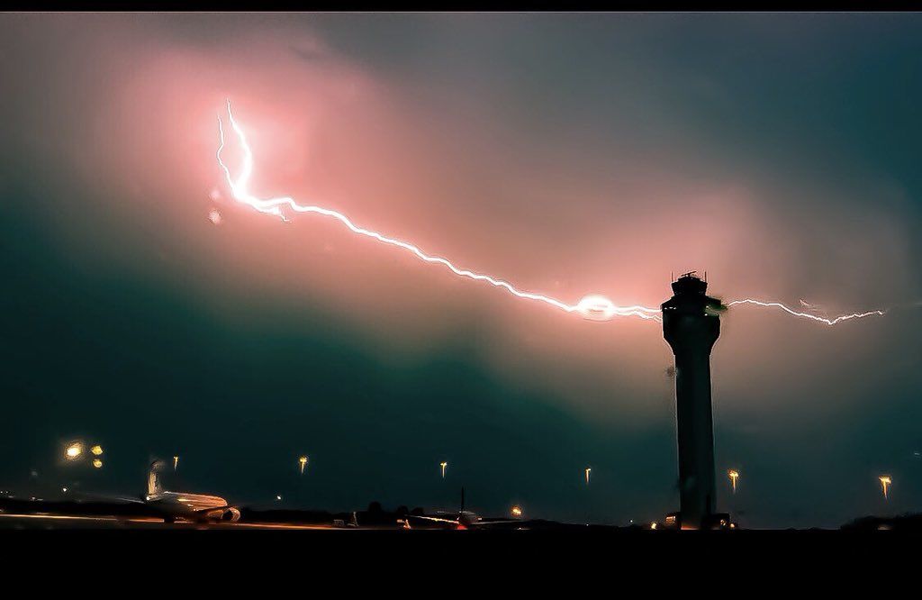


















WASHINGTON — After days of heavy rain, the entire D.C. region now has a concern greater than big puddles and wet commutes.
The region is under a flood watch through 8 a.m. Saturday, according to the National Weather Service.
And in already-waterlogged Frederick County, Maryland, a flood warning remains in effect through Sunday evening.
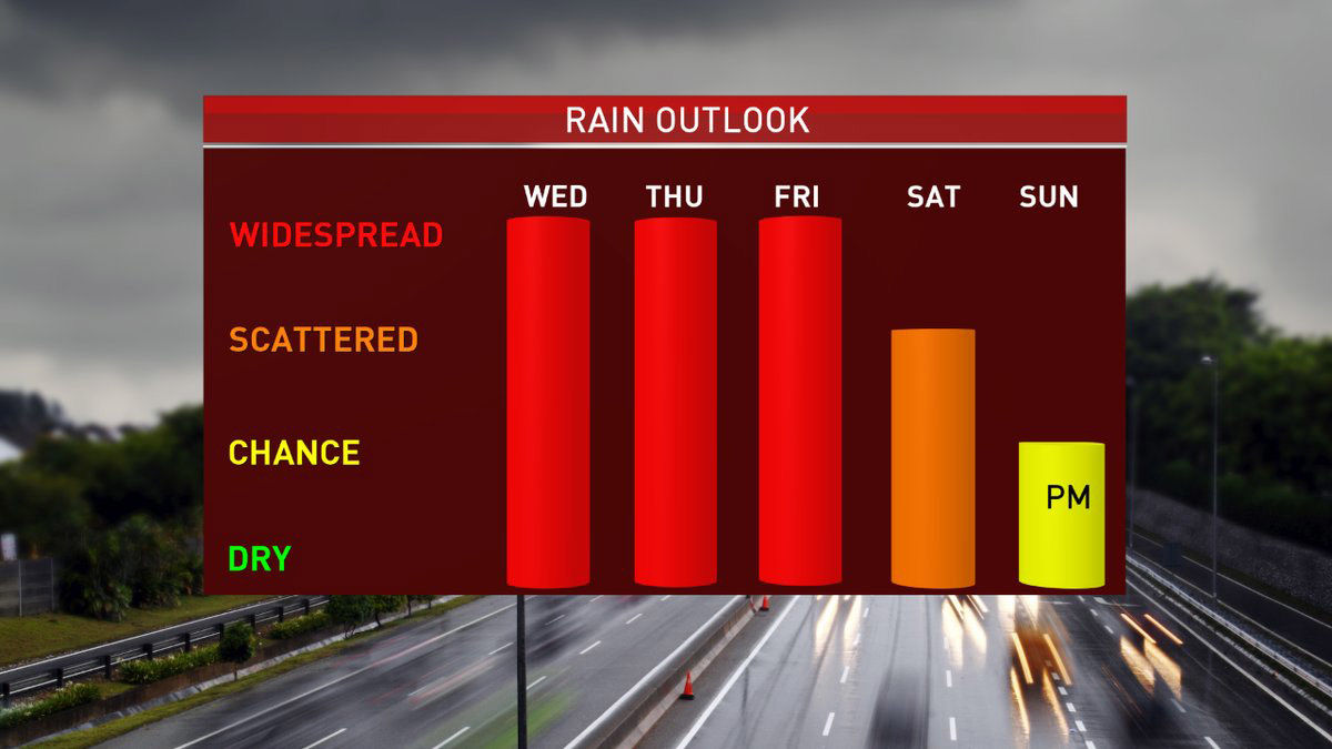
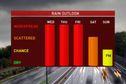
Up to 3 inches more rain is expected on Friday, Storm Team4 Meteorologist Chuck Bell said.
Friday morning’s commute was hindered by multiple reports of downed trees and utility wires. In Potomac, Maryland, on River Road near Falls Road, a downed tree blocked both lanes of the major connector to the Capital Beltway. (Check WTOP’s traffic page for live status updates.)
#POTOMAC-River Rd BOTH WAYS near Falls Rd, TREE DOWN temporarily blocks ALL LANES in #mdtraffic. https://t.co/nb3VFR1abs
— WTOP Traffic (@WTOPtraffic) May 18, 2018
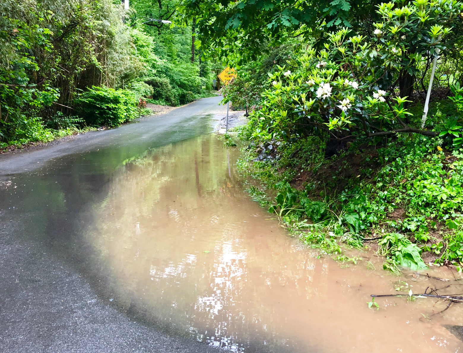
Stay alert for new flood warnings, as they mean flooding is imminent or occurring and that people should avoid flooded roads.
Warnings have also been issued for various creeks and rivers around the D.C. area. (Find updated advisories for Maryland and Virginia on the weather service’s website.)
The National Weather Service released its latest measurement — 11.48 feet — for the Potomac River at Point of Rocks, Maryland early on Friday morning. Flood stage is considered 16 feet. The service predicts a crest of almost 19 feet sometime on Sunday, May 20. The river reached 18.2 feet on October 31, 2012.
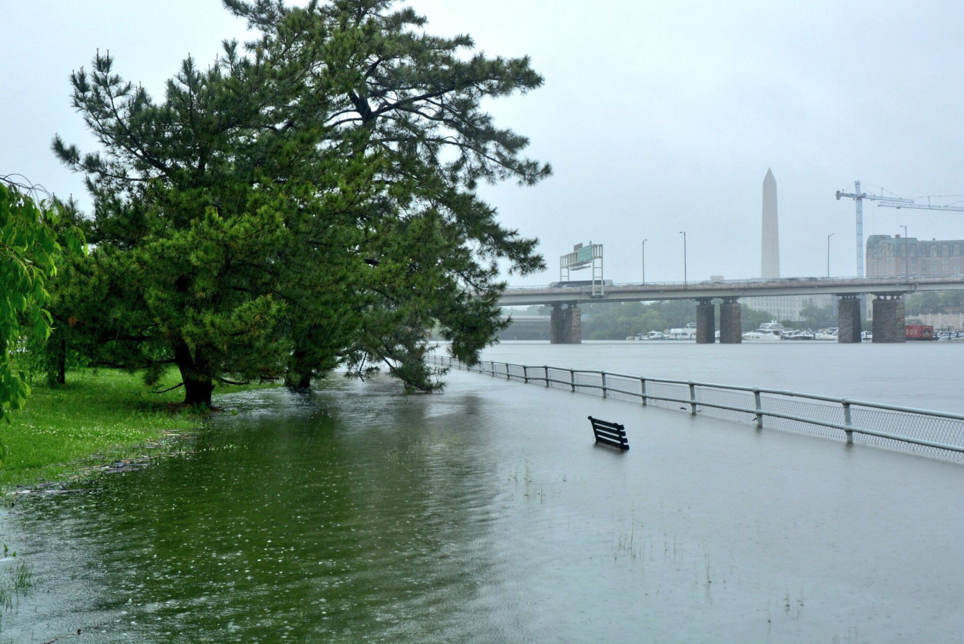
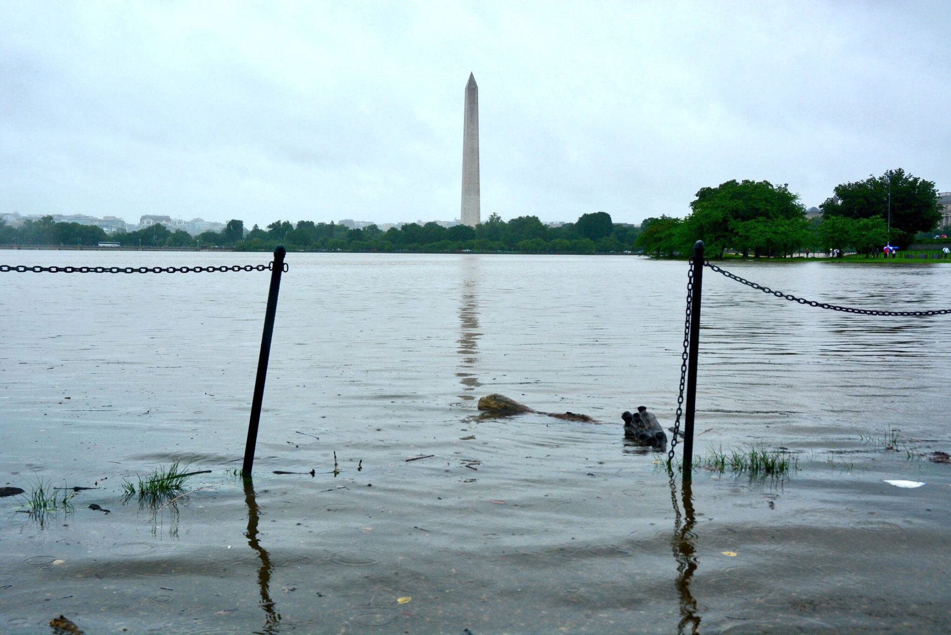
Closer to the District, the weather service has issued a coastal flood advisory — effective through 8 p.m. Friday — for the shorelines of D.C., Arlington County and Alexandria. A coastal flood watch will be in effect from then until Sunday morning.
Storm Team4 Meteorologist Amelia Draper warned of a severe impact on the Georgetown waterfront.
Everyone is under a flood watch until Saturday AM and numerous waterways are under flood warnings. The waters will continue to rise into the weekend even as the rain lets up. These are gauages monitor flooding potential and Georgetown waterfront is expected to have major flooding pic.twitter.com/LWZiQG9OsT
— Amelia Draper (@amelia_draper) May 17, 2018
An additional 2–5 inches of rain are possible through Saturday, Storm Team4 Meteorologist Doug Kammerer said.
City of Frederick Mayor Michael O’Connor declared a local state of emergency Wednesday, urging all residents to sign up for emergency alerts and take all weather warnings seriously as more flooding scenarios are possible.
In Frederick, the nearby Monocacy River was at 14.1 feet around 2 p.m. Thursday, not far from the flood stage of 15 feet.
Residents are being told to limit their water use in the coming days in order to take pressure off the area’s wastewater treatment plant and help prevent sewage from backing up into homes.
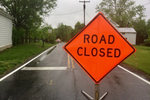
Frederick police warned of road closures and said new areas may be affected. (Follow Frederick police on Twitter for updated list of road closures, which the department said is constantly changing.)
#WeatherAlert: Flood WATCH for much of the area and a flood WARNING from Winchester, VA to Frederick, MD. Avoid high and fast moving water. Several more inches of rain are likely over the next 2-3 days. Stay with @NBCWashington for updates. pic.twitter.com/ME8CAiUq3T
— Chuck Bell (@ChuckBell4) May 17, 2018
National Weather Service meteorologist Chris Strong said Friday, “Fortunately for Frederick, the Monocacy is on its way down. If we can keep too much rain from falling up there, I think the worst hopefully is over for them … we’re going to have to watch and just make sure that’s the case.”
He predicted that most places on the Potomac will see “at least some minor flooding, minor inundation along the shorelines.” But if the area gets more substantial rain through the course of Friday, “there is the possibility for some more moderate river flooding as well.”
Strong added that the Potomac River near Washington is not expected to crest until Sunday, since it takes a while for rainwater to make its way into larger rivers.
He said the highest risk areas on Friday are Charles, Calvert and St. Mary’s counties.
“They did get some heavy rain overnight and they’ll continue to get some heavier rain today,” Strong said, “so we’re monitoring not only the water just piling up in low areas, but also the streams that do run through southern Maryland.”
The possibility of that much rain means residents should be checking their drains to make sure they’re clear of debris so they don’t back up, in addition to being generally cautious.
Drivers, too, should be aware of the dangers of high water.
On Frederick’s Willowbrook Road, for instance, floodwaters pushed a car 45 to 50 feet into a grassy field. “The driver was still in it when it washed away,” said Clay Bussard with Bussard’s Auto Repair and Towing, who’s been towing cars stuck in high water, many times after people inside were pulled out by rescue crews.
“It’s been nonstop,” he said. “Some of the city roads are pretty bad.”
Next week might still be wet, but for now it appears that it won’t compare to what the area has been seeing the last few days.
Current conditions
Forecast
- Friday: Rainy with highs in the high 60s; flood watch all day
- Saturday: More rain likely, with highs in the low 70s
- Sunday: Mostly cloudy with a chance of showers and highs in the low 80s
- Monday: Chance of scattered thunderstorms, with highs in the mid-80s
WTOP’s Will Vitka, Nick Iannelli, Abigail Constantino, John Aaron and Patrick Roth contributed to this report.


