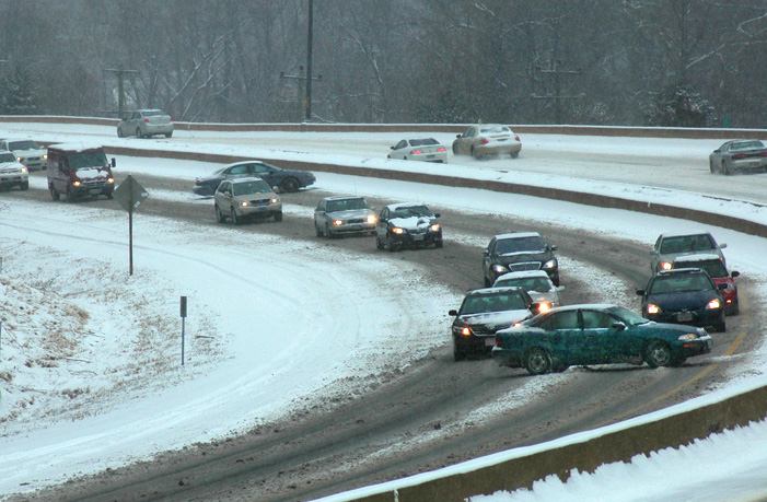
WASHINGTON — Two years ago, millions of drivers were blindsided by a modest snowfall during the height of the morning rush hour.
Traffic jams circled the Beltway and lasted for hours. Travel times were three to four times longer than usual as drivers spun their wheels on icy pavement. A little over a year later, on Jan. 20, 2016, it happened again, this time during an evening commute.
The storm systems that produced these chaotic commutes were insidious weather events, and forecasting these storms is challenging, said meteorologist Chris Strong, of the National Weather Service in Sterling, Virginia.
“Small amounts of snow are often produced by tiny ripples in the atmosphere and, 24 hours in advance, knowing whether that ripple is going to produce a few flakes and no problems or a small amount of snow with potentially really big impacts is a very small needle for our forecasters to thread.”
Strong said that this year, the weather service will be issuing a new bulletin called a Winter Commuter Hazard Statement. The aim is to give 24 hours’ notice to transportation officials and the public about potential snowfall during rush hours.
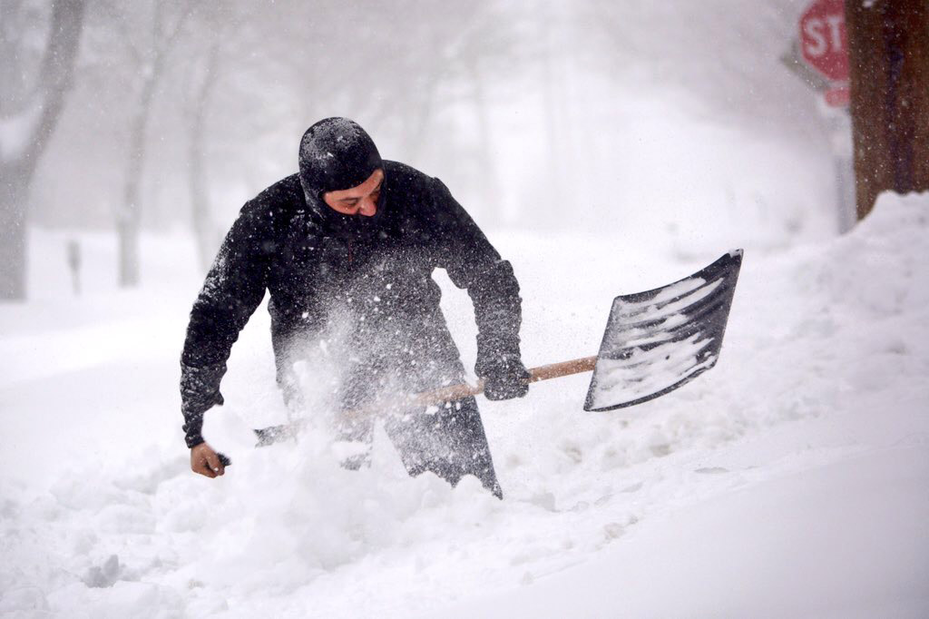
“A fraction of an inch of snow, during rush hour, on frigid roadways — those three things are all you need to have a traffic disaster in a bustling city,” said Strong, who added that identifying those factors is tricky business.
Exactly two years after that disastrous morning commute, Strong said, the telltale signs of icy rush-hour gridlock are not all in place for the first snowfall of the season, which is forecast to start Thursday afternoon and last into early Friday. Road temperatures as of late Wednesday were in the 50s throughout the region, and air temperatures were forecast to be above freezing in the hours before the snowfall.
“If the roads temps are 35 degrees, a half-inch of snow isn’t going to do anything that rain wouldn’t do around here,” Strong said.
As if forecasting ill-defined areas of snowfall during specific windows of time weren’t hard enough, forecasters face the additional challenge of pinning down the maximum snowfall rate. Unlike the 2016 event, when road temperatures were well below freezing, the Jan. 6, 2015, morning debacle occurred less than 48 hours after temperatures soared into the 60s.
If the snowfall is heavy enough, the temperature of the pavement doesn’t matter. This scenario also led to epic traffic jams on March 9, 1999, and Jan. 26, 2011.
Speaking at the Virginia Department of Transportation headquarters in Fairfax County late last year, Strong acknowledged that any amount of snow that falls on congested highways will make its mark.
“We’re never going to be able to stop these things from happening, but every time we go through it, I like to think we’re doing ever better at minimizing the impact of these storms on society.”