Hurricane Irene made landfall six years ago along the North Carolina Outer Banks. In the days before the storm barreled onshore, WTOP's Dave Dildine hitched a bumpy ride with the 53rd Weather Reconnaissance Squadron. See photos of the mission.
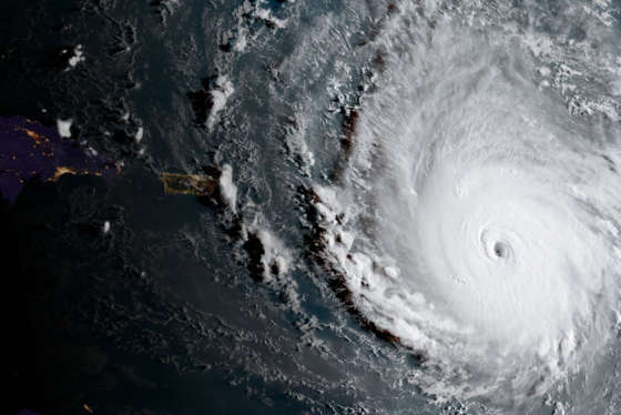
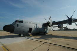
WASHINGTON — Hurricane Irene made landfall six years ago along the North Carolina Outer Banks. In the days before the storm barreled onshore, WTOP’s Dave Dildine hitched a ride with the 53rd Weather Reconnaissance Squadron, better known as the Hurricane Hunters, as they soared into the eye of the Category 3 storm.
A mission briefing at Keesler Air Force Base in Biloxi, Mississippi, preceded the flight into Hurricane Irene. The briefing, lead by the squadron’s chief Aerial Reconnaissance Weather Officer, Lt. Col. Jon Talbot, featured guidance from the National Hurricane Center based in Miami, Florida.
(WTOP/Dave Dildine)
WTOP/Dave Dildine
The WC-130J takes off from Keesler Air Force Base in Biloxi, Mississippi. The aircraft is equipped with instruments that are capable of measuring air temperature, barometric pressure and other important readings from inside tropical systems.
(WTOP/Dave Dildine)
WTOP/Dave Dildine
A view of the spiral rain bands inside Hurricane Irene on Thursday, August 25, 2011.
(WTOP/Dave Dildine)
WTOP/Dave Dildine
The Hurricane Hunters penetrate the eyewall of major Hurricane Irene as it curves toward the Eastern Seaboard in late August 2011.
(WTOP/Dave Dildine)
WTOP/Dave Dildine
Weather radar from inside the cockpit of the WC-130 aircraft shows the eyewall of powerful Hurricane Irene as it churns above the Bahamas on Thursday, August 25, 2011.
(WTOP/Dave Dildine)
WTOP/Dave Dildine
A Hurricane Hunters’ view of Irene from the cockpit of a mission into the eye of the Category 3 storm in late August 2011.
(WTOP/Dave Dildine)
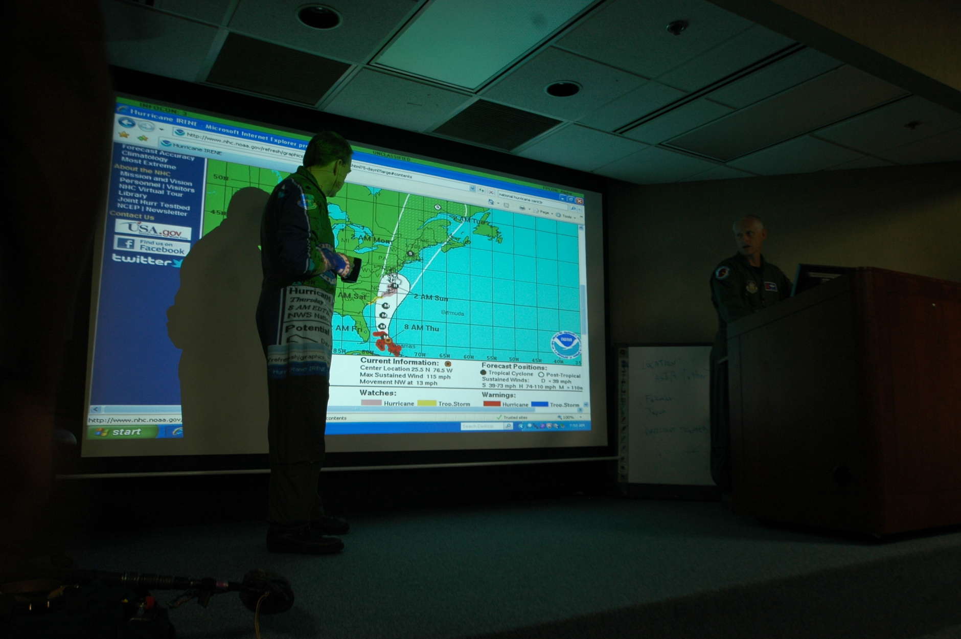
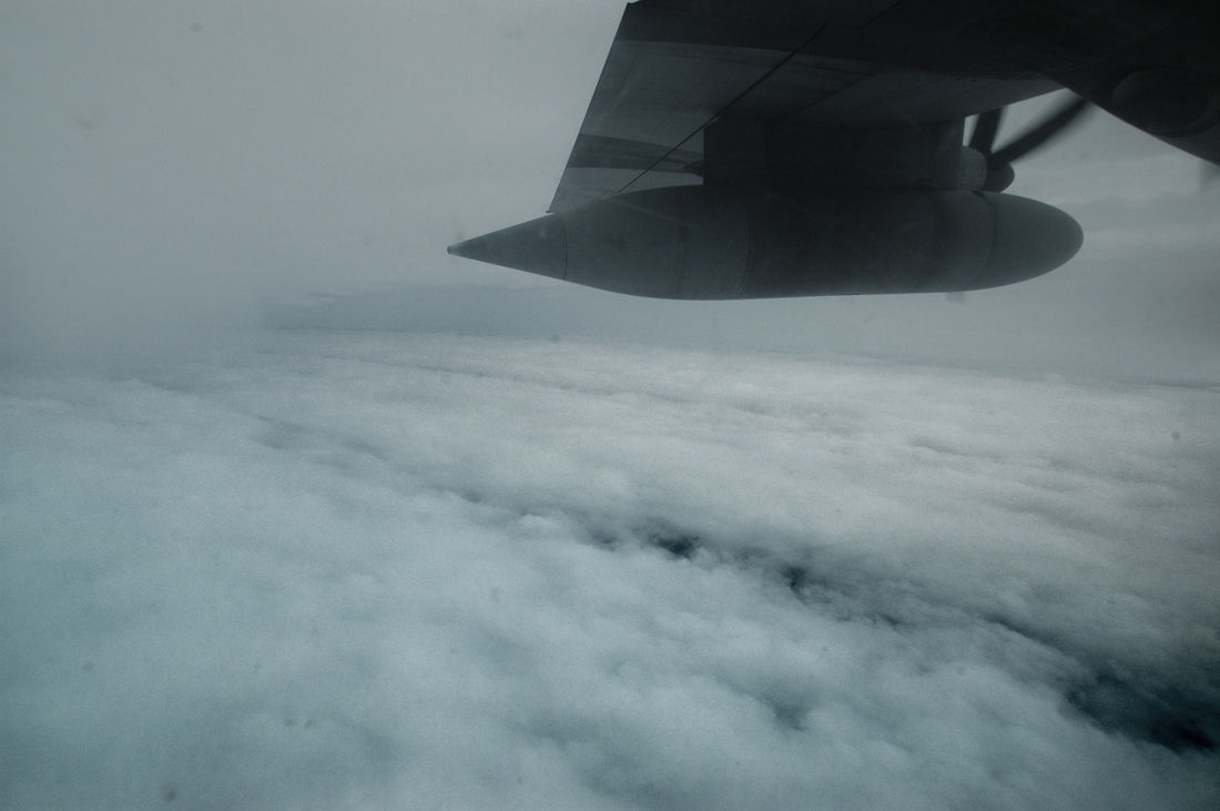
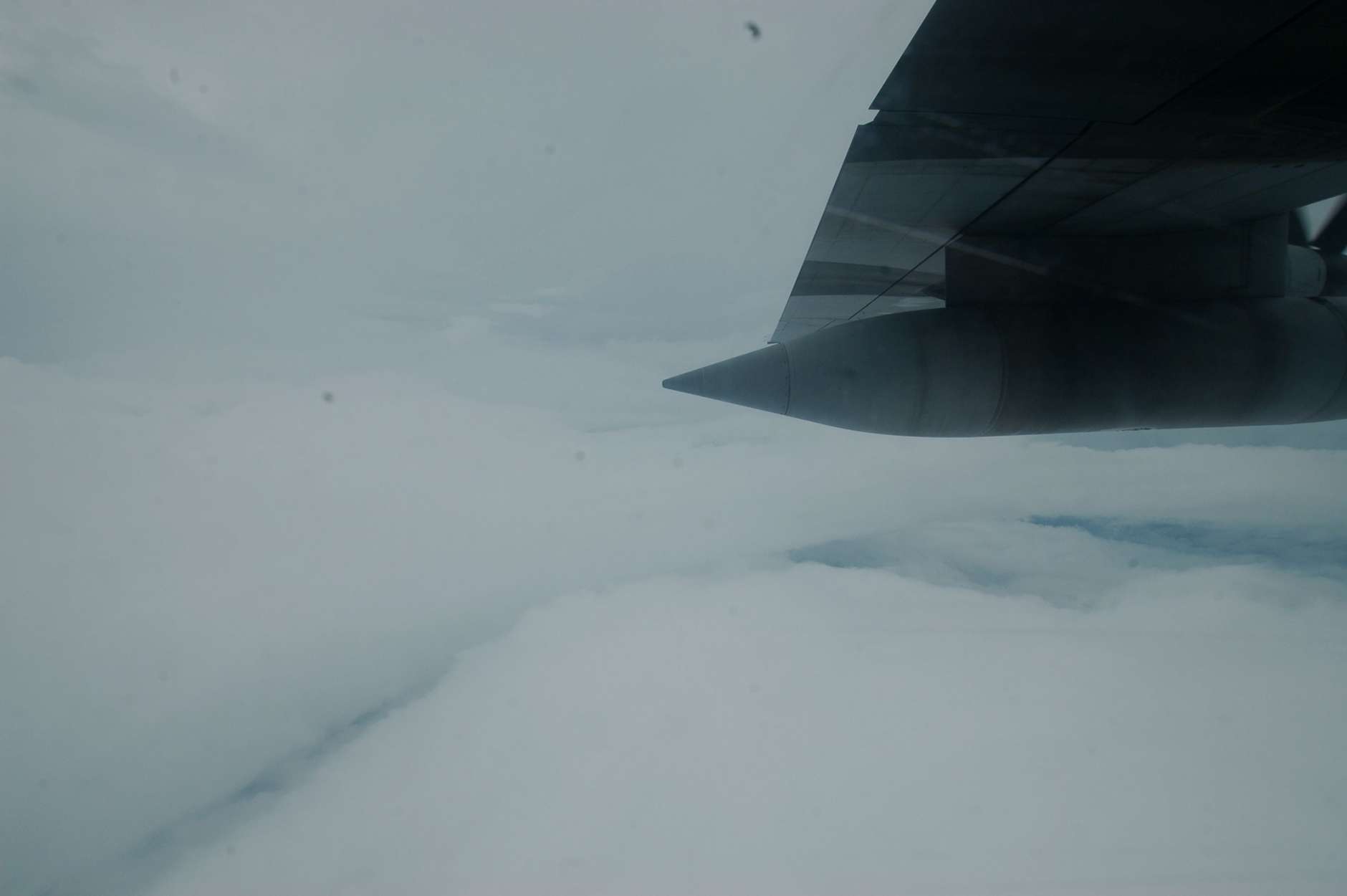
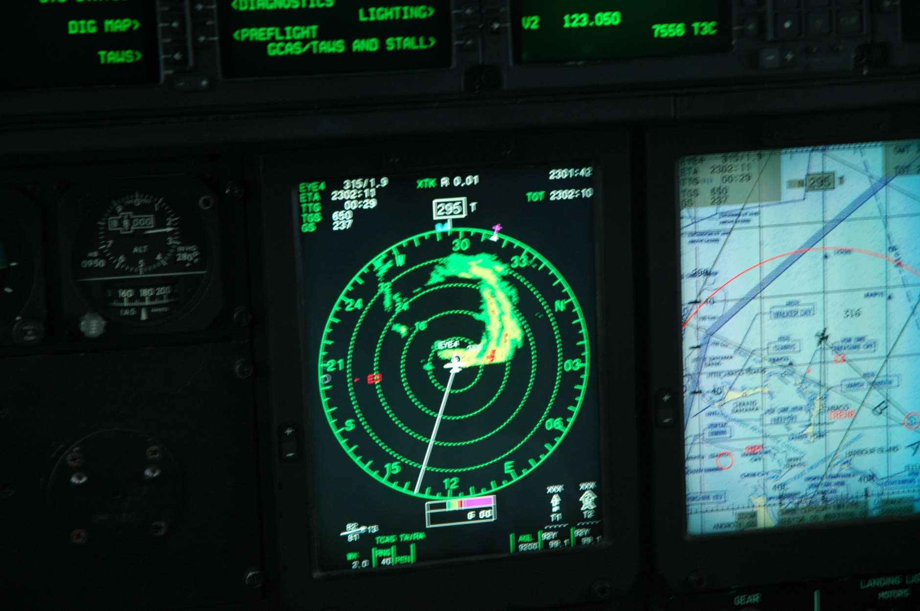
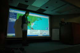
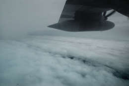
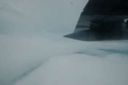
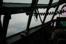
Measurements taken aboard the WC-130 are ingested into computer models that simulate the track of tropical systems as they near land. Cylindrical devices called dropsondes are released from the cargo area of the plane. The instruments parachute through the turbulent winds inside the core of the storm and through the calm eye, beaming back weather readings as they descend toward the ocean.
Hurricane Irene and Hurricane Irma, the ninth named storms of their respective Atlantic hurricane seasons, were both Cape Verde storms, tracking across Atlantic Ocean toward the Bahamas.
See Dildine’s photos of a 12-hour surveillance mission through Irene above.