
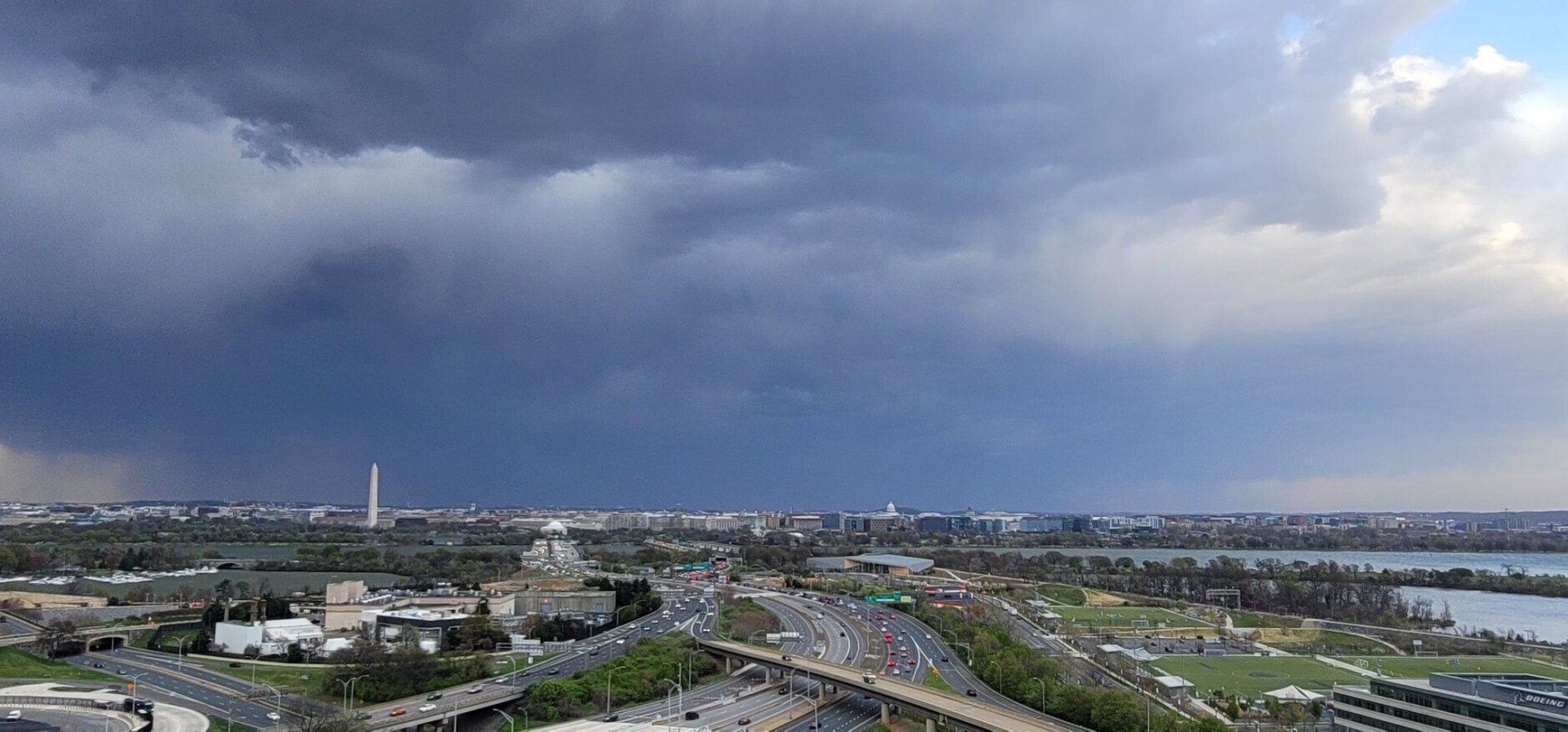


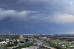
Thousands of D.C. region residents were in the dark after Saturday’s high winds and storms caused power outages on Sunday.
Winds continued to be strong Sunday morning, with some gusts up to 30 mph which had slowed down to between 5 and 10 mph by Sunday afternoon.
- Listen to WTOP online and on the radio at 103.5 FM or 107.7 FM.
- Current traffic conditions
- Power outages map
- Weather forecast
- Sign up for WTOP alerts
Gusts up to 70 mph damaged power lines on Saturday, leaving thousands without power.
Winds continue to decrease today with high pressure building in. Expect NW gusts up to 30 mph this morning decreasing to 20 mph this afternoon. Highs will top out in the mid to upper 50s for most outside the mountains. Turning warmer Monday & Tuesday. #MDwx #VAwx #WVwx pic.twitter.com/0wLNNFvBL5
— NWS Baltimore-Washington (@NWS_BaltWash) April 2, 2023
“There’s probably some residual power outages … due to downed trees,” Brendon Rubin-Oster, a lead forecaster at the National Weather Service, told WTOP. “But largely speaking, the winds have dropped to 25-35 mph so we’re not anticipating any additional power issues.”
In Virginia, Dominion Energy reported around 23,000 customers without power in Fairfax County, Virginia, on Saturday night.
Around 2,000 Arlington customers and a few hundred others in Alexandria were also experiencing outages.
In Maryland, around 1,000 Pepco customers were affected in Prince George’s County and more than 4,500 customers in Anne Arundel County were without power, according to the Baltimore Gas and Electric Company.
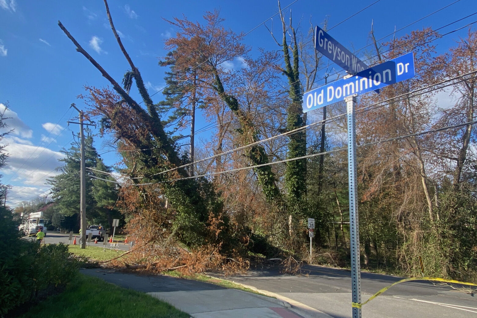
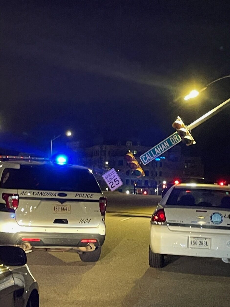
Downed branches and trees impacted some roadways in the D.C. region following Saturday’s storms.
Peggy Fox, Dominion Energy’s media and communications manager for Northern Virginia, was at the intersection of Old Dominion and Falls Hill Road on Sunday morning surveying the damage.
“We have a tree down on wires. We have two poles that are damaged and four cross arms damaged, those are the things at the top of the poles. All of that needs to be replaced,” Fox told WTOP.
She said first, the tree needs to be taken off of the wires so that the work can be done.
“This is a major operation here. We have numerous trucks and people,” Fox said. “We have forestry crews that are going to take the tree off first,” she said.
Fox said the whole operation would take about 4 to 5 hours.
“Those winds were extremely gusty and strong last night and they kicked back up after midnight,” Fox said.
A large tree on Patridge Lane in Northwest snapped a Pepco pole in half, according to D.C. Fire and EMS.
Around 7:45 p.m., the department said a fence that was blown down, striking a vehicle. Though officials were able to remove the trapped driver who wasn’t injured, it came after hours of severe weather impacts.
Peak wind gusts
The National Weather Service recorded the highest wind gusts recorded on Saturday.
In the District:
- George Washington University’s Mount Vernon Campus 64 mph
- Baltimore Washington International Airport 63 mph
- Naval Academy 58 mph
In Maryland:
- Woodsboro (Frederick County) 68mph
- Mount Airy 49 mph
- Cabin John 65 mph
- College Park 51 mph
In Virginia:
- Quantico 56 mph
- Reagan National Airport 58 mph
- Dulles International Airport 68 mph
Gusts also reached 63 mph on the Chesapeake Bay Bridge, prompting the bridge to be temporarily closed to drivers on Saturday.
Current weather
Forecast
SUNDAY AFTERNOON: Sunny, windy and cooler. Winds: Morning: NW 10-20, Gusts 30 mph decreasing. Afternoon: Winds: NW 5-10 mph. Temps in the mid to upper 50s.
SUNDAY NIGHT: Mostly clear and cold, patchy frost. Light winds. Temps in the 30s to around 40.
MONDAY: Mostly sunny (a few more PM clouds) mild and breezy. Temps near 70.
TUESDAY: Sunny and mild. Temps in the mid to upper 70s.
WEDNESDAY: Partly cloudy, breezy, some showers possible 30%. Temps around 80.
THURSDAY: Mostly cloudy, rain likely, gusty winds at times. Temps in the 60s (cooler west) to 70s.


