High temperatures broke the 80-degree mark in parts of the D.C. region on Thursday, shattering records that in some cases were set over a century ago.
Reagan Airport reported a record high of 81 degrees at 3 p.m. Thursday, breaking the old record of 78 set in 1874 — back when the Washington Monument was still being built, Thomas Edison was alive and the QWERTY keyboard had just been patented.
BWI Marshall Airport initially tied its record high set in 1874; however, a short time later, the record was broken with a new high of 79 degrees. In Virginia, Dulles Airport broke its own record high of 77 degrees, observed in 2017, with a Thursday afternoon high of 80.
“We’re getting air up from the tropics, and that’s why temperatures soared into the 70s or even 80s,” said Stinneford, adding that the D.C. region should continue to expect a “good deal of sunshine” as the day goes on.
- Listen to WTOP online and on the radio at 103.5 FM or 107.7 FM.
- Why the warmer winter could bring a less colorful spring to the DC area
- Current traffic conditions
- Weather forecast
- Closings and Delays
- Sign up for WTOP alerts
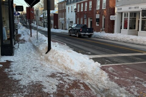
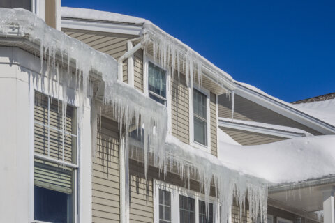
Meanwhile, nearly half the country is facing brutal weather, including temperatures nearing zero, snow and high winds — even part of Southern California was under a blizzard warning Thursday.
“We have a major dip in the jet stream, it’s going far south across California and the Rocky Mountains west, and then it moves far northward in the middle of the country, so we’re in the warm sector,” said Stinneford. “Cold air is pouring down behind the jet stream, so across the country, we’re seeing some record lows, as well as a great deal of snow.”
Yet, the weather will be very different in the mid-Atlantic.
“With this powerful dip in the jet stream, you’ve got a lot of atmospheric energy,” said Stinneford. “Any time you get these strong contrasts of temperatures over a fairly small area, you’ll see a lot weather breaking out.”
Temperatures will begin to dip down to normal Thursday evening. Friday will be mostly sunny but colder, with highs back in the lower 50s.
Saturday may bring a wintry mix of rain, sleet and snow, but accumulations are expected to remain under an inch. Mild conditions return Sunday, when highs are expected to reach into the upper 50s.
Forecast
TONIGHT: Partly cloudy. Lows in the mid 40s to lower 50s.
FRIDAY: Partly to mostly sunny, windy and colder. Highs upper 40s to lower 50s.
SATURDAY: Becoming cloudy. A chance of light rain, sleet and snow. Accumulations of snow and sleet under an inch, and mainly on the grass. Highs mid 30s to lower 40s.
SUNDAY: Becoming partly cloudy and warmer. Highs in the mid to upper 50s.
MONDAY: Increasing cloudiness. A chance of showers by late in the day. Highs in the mid to upper 50s.