The coldest outbreak of the autumn season to date is sweeping across the D.C. region, and the area won’t catch a break from the big chill until we approach the weekend.
A freeze warning remains in effect until 9 a.m. Wednesday for parts of Northern Virginia and Northern Maryland, while a frost advisory is in effect until 9 a.m. for the D.C. region.
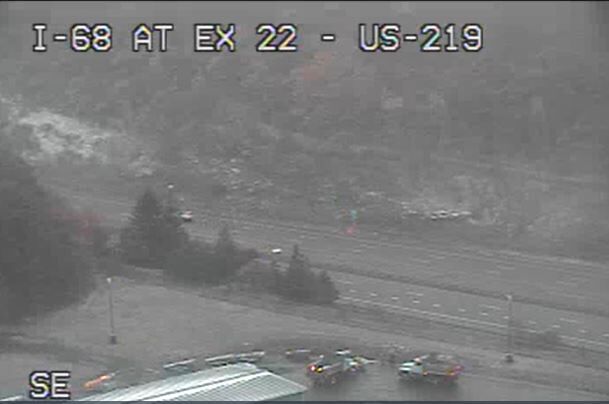
Low pressure spinning east of Pittsburgh is producing the season’s first snow flurries in Garrett County, Maryland’s westernmost county.
More frequent snow showers will whiten the ground in that area Wednesday morning, and a few secondary roads could see minor accumulation — so travelers heading towards Pittsburgh should watch out for a sudden change in weather west of Cumberland, Maryland.
It’s the first time this fall that I am showing this WIND CHILL graphic! The “feels like” factor is down close to freezing for most of the area. An extra layer of fleece or flannel is recommended this morning. Join me on News4Today for more info on Sunday’s new rain chance. pic.twitter.com/9NK7B3ZpMo
— Chuck Bell (@ChuckBell4) October 19, 2022
High pressure returning Wednesday night will allow the sky to clear and winds to diminish. Following a blustery day in D.C. and the suburbs, temperatures tonight will drop to their coldest yet, with 20s north and west of the Capital Beltway, and the mid 30s along and east of Interstate 95.
The widespread hard freeze will end the growing season west of I-95. Cover those flowers or bring them inside!
High pressure returning for the remainder of the week will ensure a slow warm-up to average highs for mid October early this weekend. Frost is expected again Friday morning, chiefly north and west of the city.
- Listen to WTOP online and on the radio at 103.5 FM or 107.7 FM.
- Current traffic conditions
- Weather forecast
- Closings and Delays
- Sign up for WTOP alerts
Forecast:
- Wednesday: Partly sunny, breezy and chilly. Highs in the mid 50s
- Thursday: Partly cloudy and a little warmer. Highs upper 50s to lower 60s
- Friday: Partly cloudy and warmer. Highs in the mid to upper 60s
- Saturday: Mostly sunny and pleasant. Highs in the lower 70s
- Sunday: Mostly sunny. A little warmer. Highs in the mid 70s
Current weather:
Fall foliage report:
The fall colors are just about ready to peak along the Blue Ridge through Interstate 81 and this midweek cold snap will do the trick, Merrill said. If you are looking for the right window to see the most vibrant colors of the season within a short drive of Washington, this weekend will be your best bet before the leaves begin to fall, Merrill said.
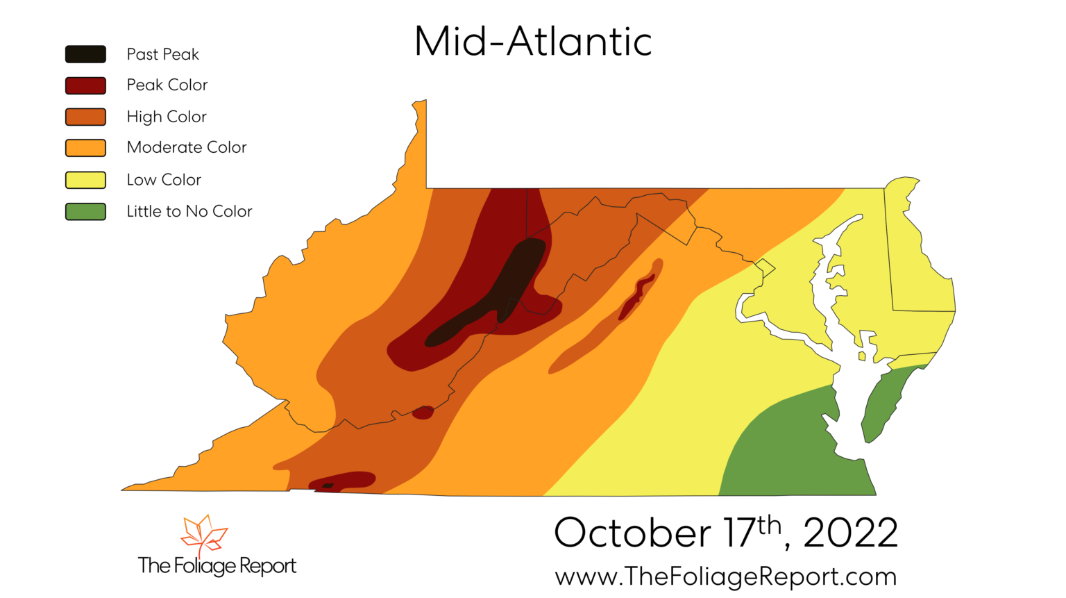
In the immediate D.C. suburbs, the cold pattern will set fall colors in motion. The weekend of Oct. 29-30 will likely be the peak season for places such as Sterling, Virginia, and Maryland’s Germantown and Westminster. Along and east of I-95 will have to wait until early November for the best color, Merrill said.


