What do higher levels in the Potomac River after Isaias mean for DC region?

An intense thunderstorm moves across the Potomac River near National Harbor on Monday, April 13, 2020. (WTOP/Dave Dildine)

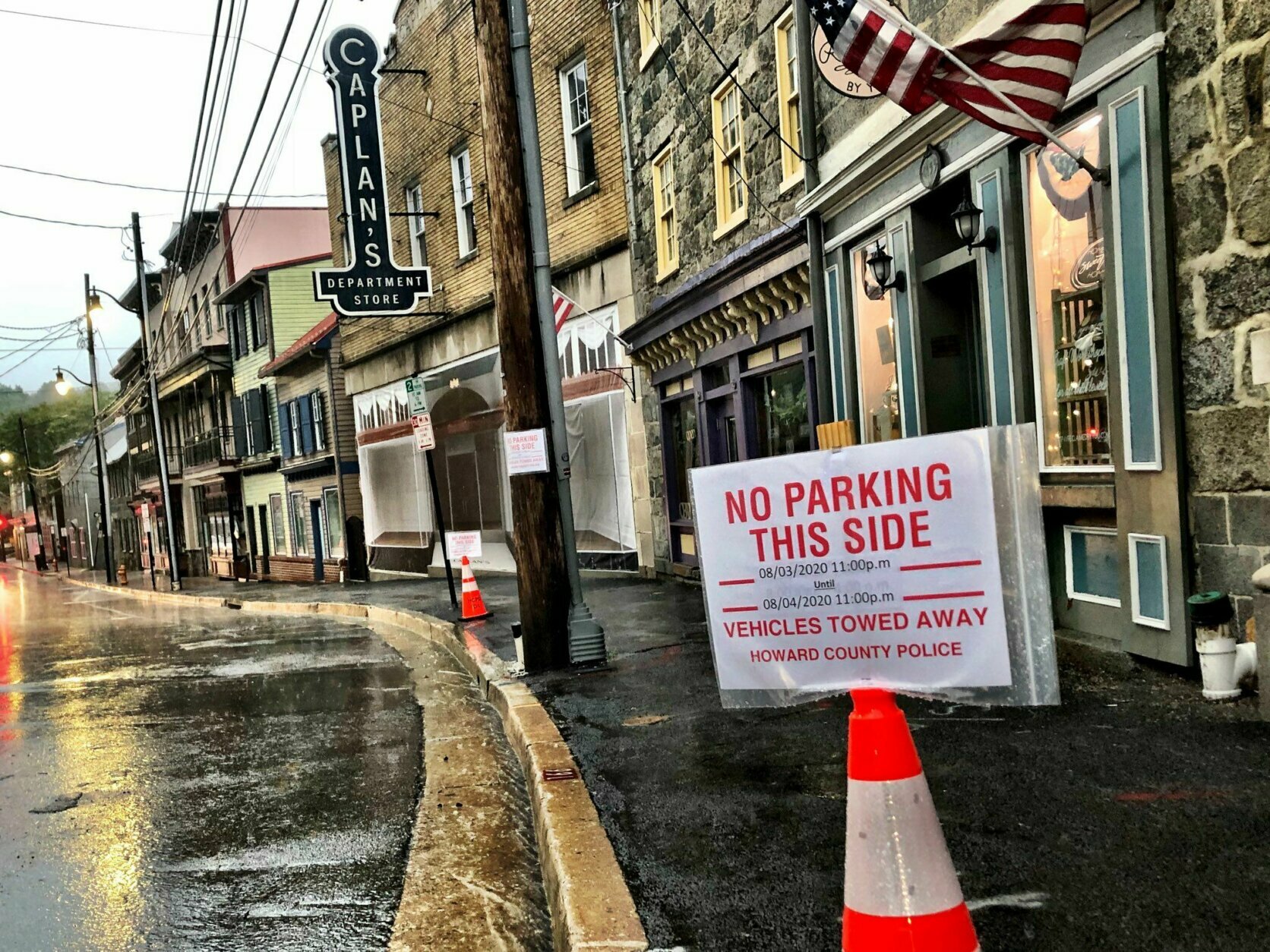
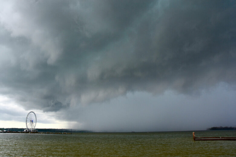
It often takes a day or two after a big storm for large bodies of water, such as the Potomac River in the D.C. region, to see the potential for flooding.

Could Isaias, which came through the area earlier this week, still have an impact this weekend?

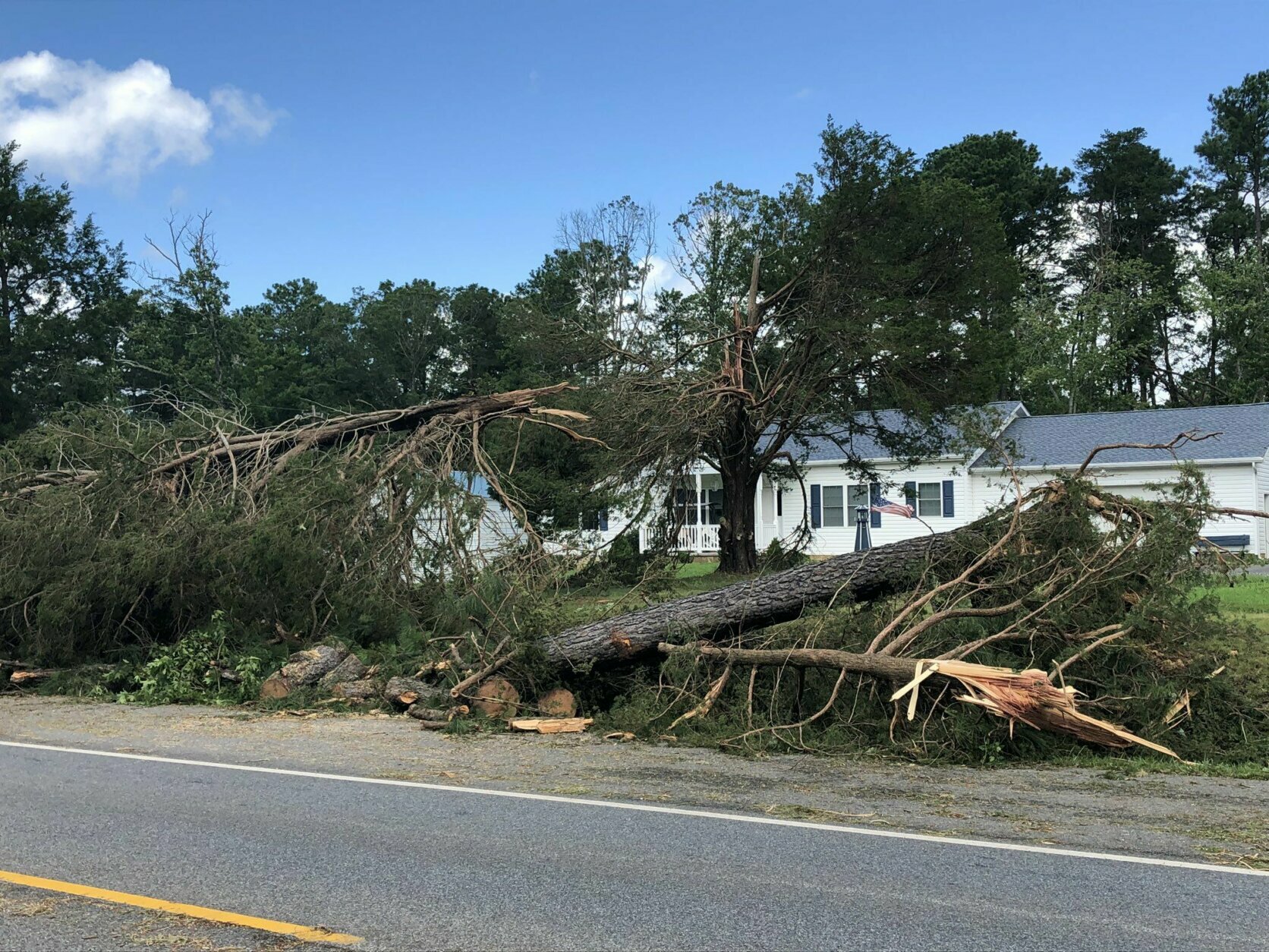
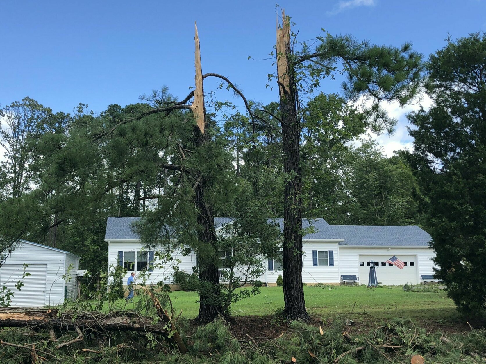
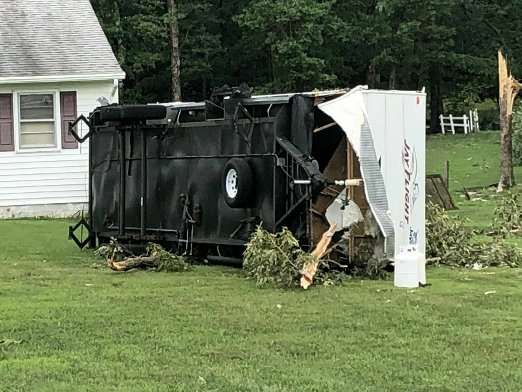
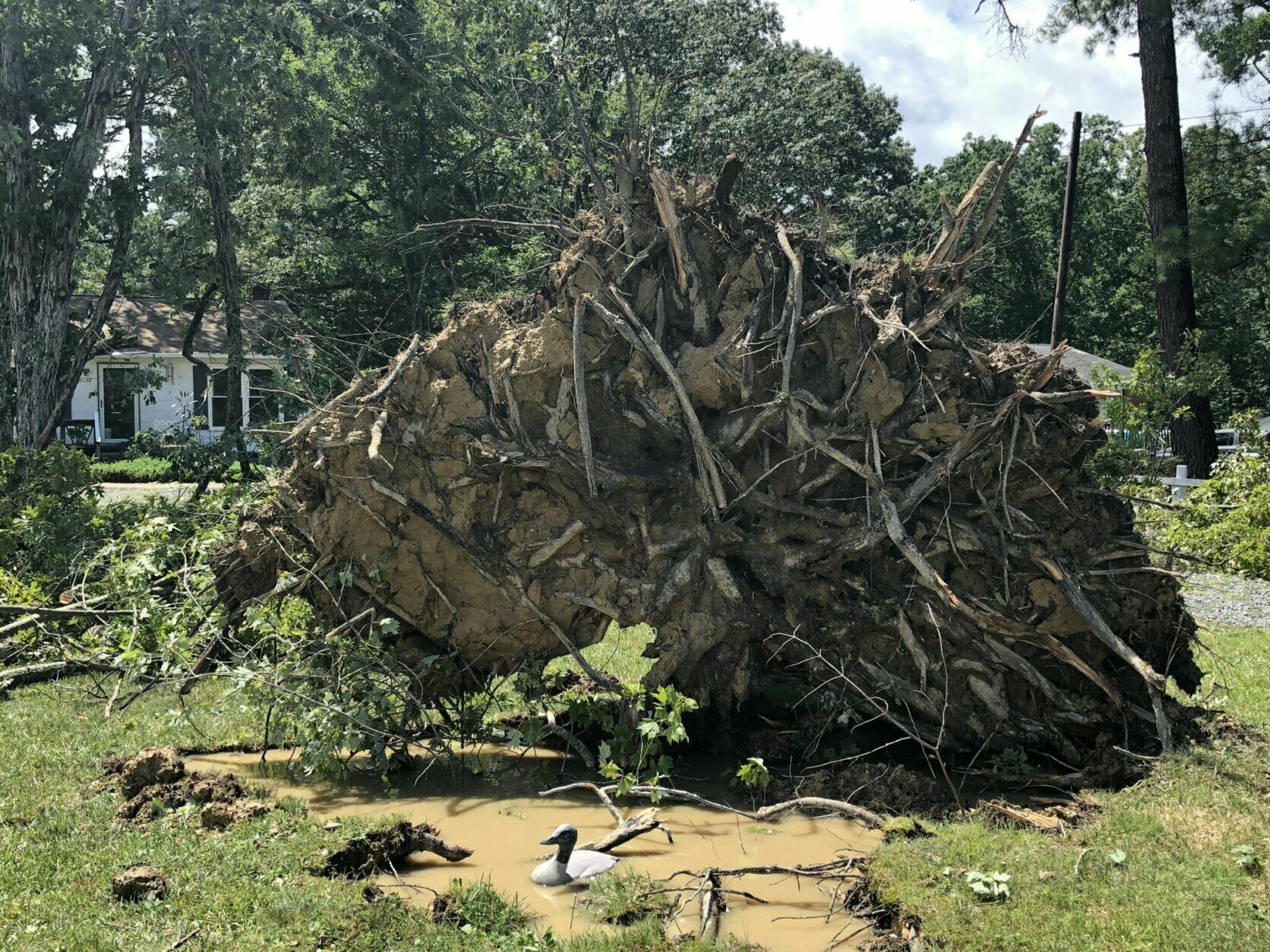
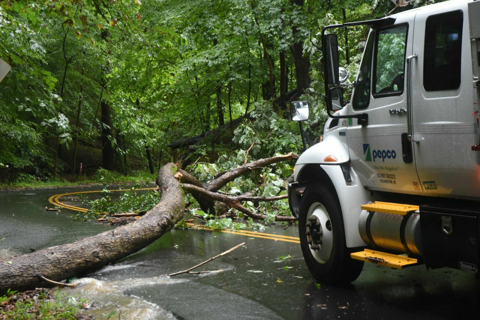
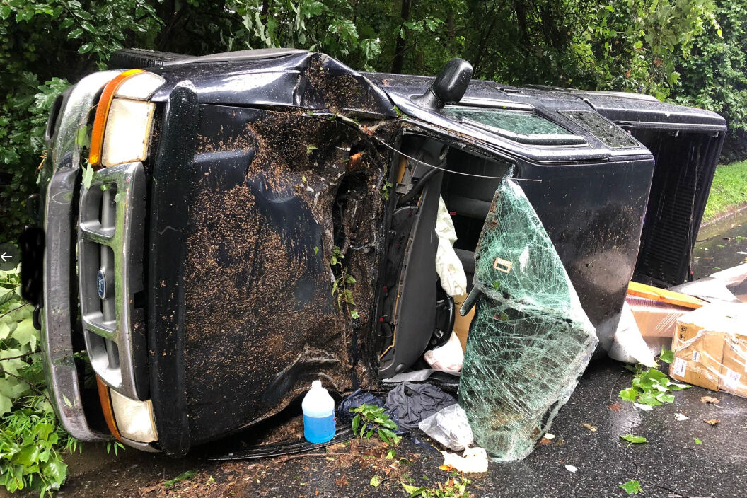
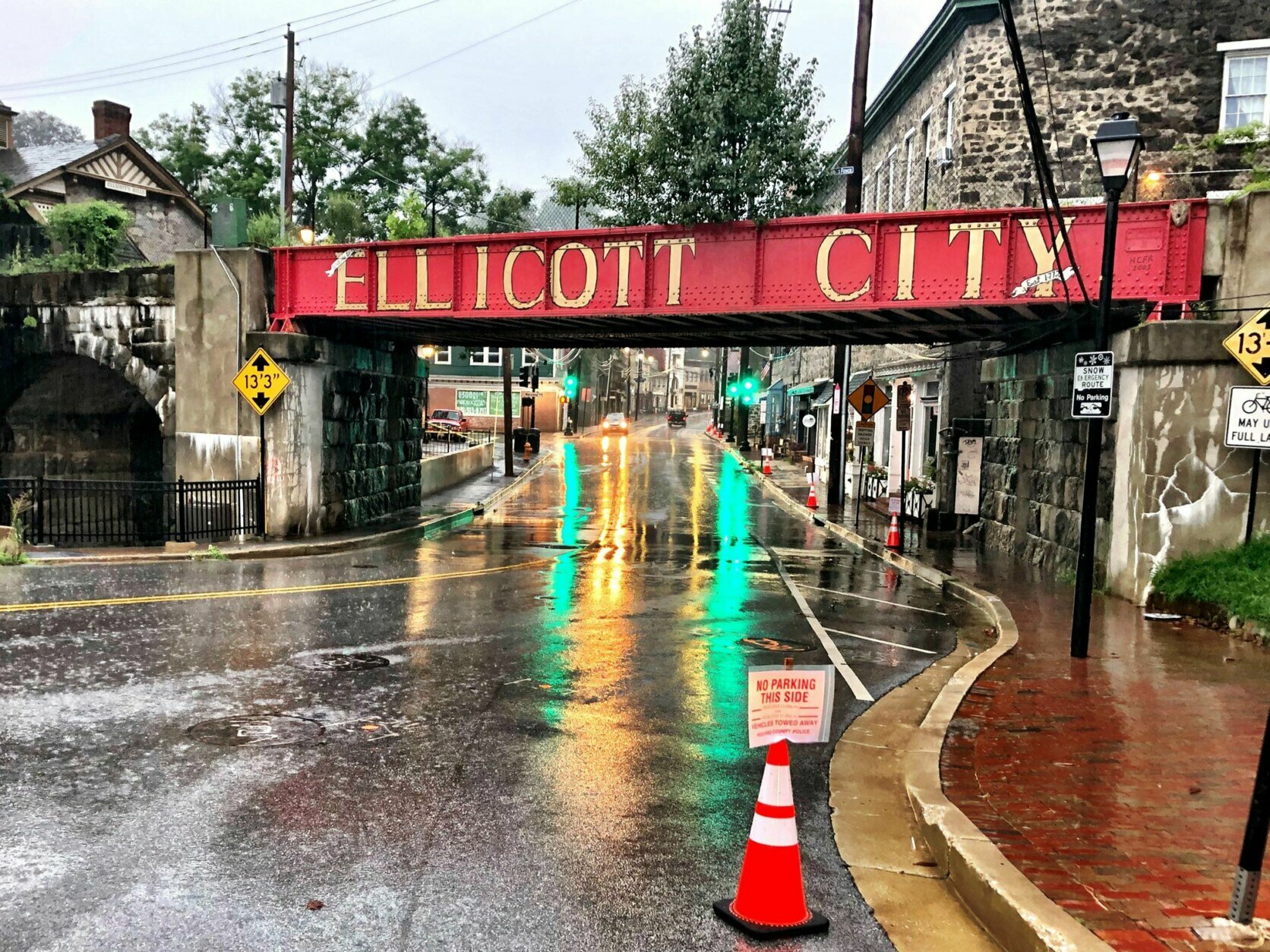
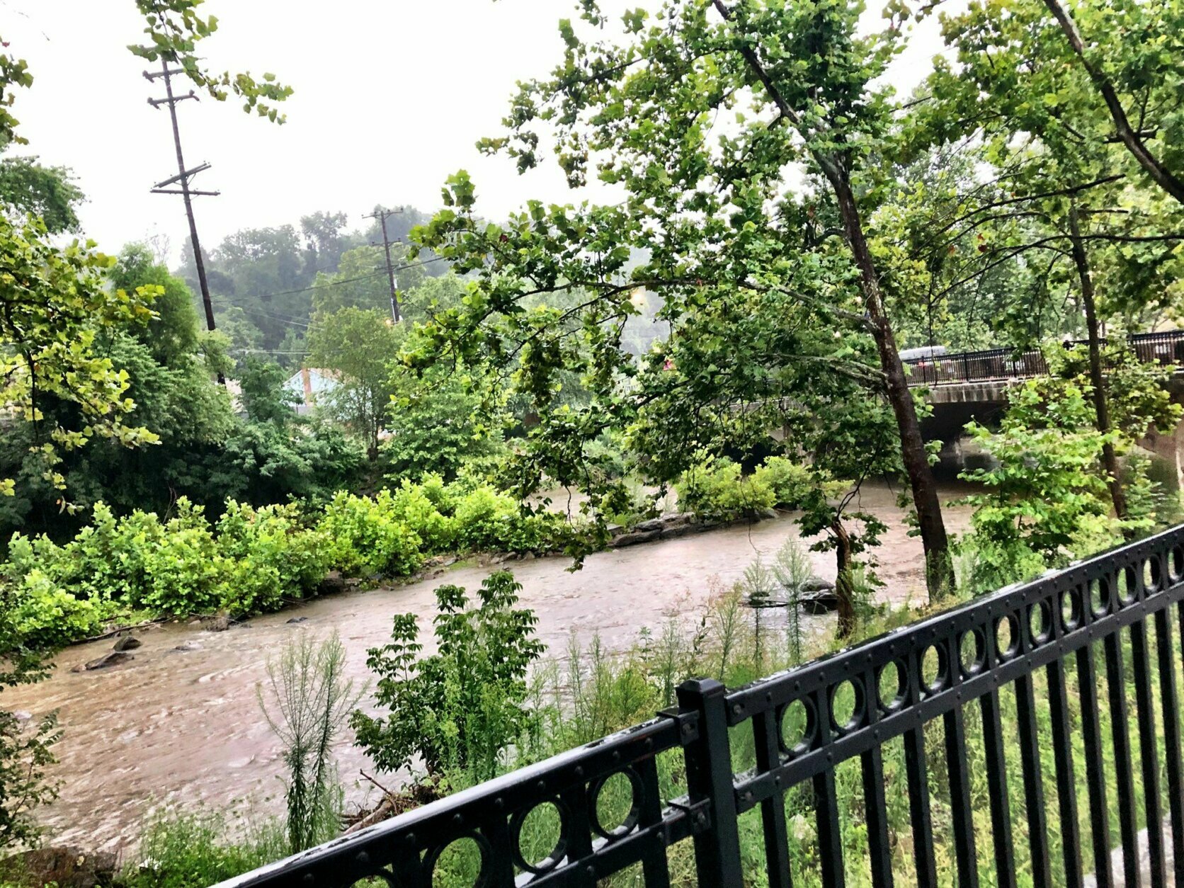
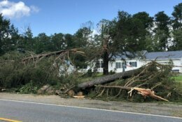
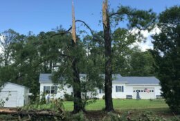
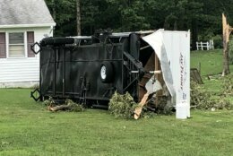
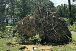
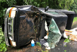
Isaias immediately caused some area streams to flood, but when it comes to local rivers, that normally takes some time.

“Around the D.C. area, the Potomac would be one of the larger rivers that takes a few days to rise and fall,” said Charles Walker, associate director for data at the Maryland, Delaware and D.C. USGS Water Science Center.

He said that the impact from the storm earlier this week has raised the water levels about half a foot.

“The discharge for the Potomac is running higher than normal,” Walker said.

But he said that unless there’s a flash storm with a significant amount of rain in the next few days, the risk of flooding is extremely low.

As of Thursday night, no such storm is in the forecast.

“The conditions prior to the storm were dry, so the flooding was minimal,” Walker said. “It will eventually come back down.”

He said dry conditions before the storm combined with the fact that it moved quickly through the area made the impact less severe for the Potomac.

Valerie Bonk

Valerie Bonk started working at WTOP in 2016 and has lived in Howard County, Maryland, her entire life. She's thrilled to be a reporter for WTOP telling stories on air. She works as both a television and radio reporter in the Maryland and D.C. areas. 

More tree damage in Leonardtown, Maryland. (WTOP/Michelle Basch)
Sheared-off trees on Point Lookout Road, in Leonardstown, Maryland. (WTOP/Michelle Basch)
An overturned RV in Leonardtown, Maryland. (WTOP/Michelle Basch)
An uprooted tree in Leonardtown, Maryland, Aug. 4, 2020. (WTOP/Michelle Basch)
One of the many huge, uprooted trees near Charlie Mills’ home along Point Lookout Rd. in Leonardtown, Maryland, where the National Weather Service said a tornado was seen touching down Tuesday morning. (Michelle Basch/WTOP)
Windflowers (yes, that’s the common name) in the D.C. area survived Isaias. (Kate Ryan/WTOP)
A Pepco crew assesses a fallen oak tree on 27th Street Northwest, south of Military Road, on Tuesday, Aug. 4, 2020. (WTOP/Dave Dildine)
truck accident on West Lake Drive
On West Lake Drive near Tuckerman Lane in Montgomery County, a truck driver was struck by a falling tree. (Courtesy Montgomery Co. Fire and Rescue/Pete Piringer)
car travels through a puddle
A car passes through a deep puddle on flood-prone Broad Branch Road in Northwest D.C. (WTOP/Dave Dildine)
Main Street in Ellicott City looked good around 8 a.m. Tuesday morning but with several hours of rain still to come. If rain becomes torrential, new alarms can warn of flooding. (Neal Augenstein/WTOP)
Main Street in Ellicott City flows downhill to the Patuxent River. While a rising river after lots of rain is always a potential problem, in Ellicott City the 2016/2018 devastating floods were from torrential rain in short period of time. (Neal Augenstein/WTOP)
No Parking signs in place on Main Street. Many businesses in this stretch were devastated in 2018 and 2016 floods. (Neal Augenstein/WTOP)
Old Town Alexandria sandbags in front of a business
Sandbags are up against the doors of Old Town Books in Alexandria. Old Town is prone to flooding. (WTOP/Melissa Howell)
Old Town Alexandria is prone to flooding. The city ran out of sandbags when they were distributed on Aug. 3. (WTOP/Melissa Howell)
(1/19)
truck accident on West Lake Drive
car travels through a puddle
Old Town Alexandria sandbags in front of a business
Federal News Network Logo
Log in to your WTOP account for notifications and alerts customized for you.

Sign up