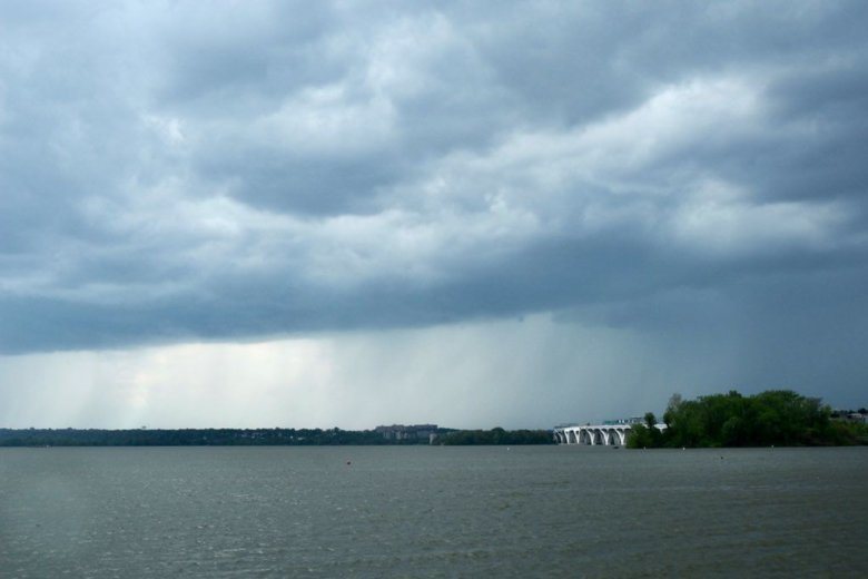
Ducking out of the office early to start the Fourth of July? You could run into some strong storms during your drive.
- Listen to WTOP online and on the radio at 103.5 FM or 107.7 FM.
- Current traffic conditions
- Weather forecast
- Closings and Delays
- Sign up for WTOP alerts
The highs for Wednesday were in the low to mid-90s, but the humidity and heat index made it feel like 100 degrees. Severe storms are most likely between 3 p.m. and 9 p.m.
Storm Team4 meteorologist Amelia Draper said if you want to avoid the pre-July 4 deluge during your exodus, leave earlier.
These storms could bring damaging winds, heavy downpours (which could cause flooding) and even small hail. Chances of storms Wednesday afternoon are at about 60%, according to Storm Team4 Meteorologist Lauryn Ricketts.
The National Weather Service warned that gusting winds would be the biggest threat in any afternoon storms.
Hot and humid conditions today with showers and thunderstorms expected later this afternoon and into this evening. Some storms could be strong to severe, with damaging wind gusts the primary threat. Latest: https://t.co/5RyZgoXicj #DCwx #MDwx #VAwx #WVwx pic.twitter.com/M4wtELIfS0
— NWS DC/Baltimore (@NWS_BaltWash) July 3, 2019
Showers may linger into the evening but the area will dry out overnight, with temperatures in the 70s. Areas that get a lot of rain can expect some fog, so late-night drivers should proceed with caution.
Things could get dicey tonight at the @RollingStones concert #FedExField. @nbcwashington is on #TheScene this evening alerting you to possible storms moving in after 3pm. These could be strong/severe with lightning, heavy downpours & strong winds. pic.twitter.com/YJ5EyK88Gn
— Lauryn Ricketts (@laurynricketts) July 3, 2019
Forecast
Wednesday is a weather alert day, Storm Team4 meteorologist Steve Prinzivalli said, with the threat of late-day storms that could be severe and have gusty winds.
Wednesday: Partly cloudy, hot and muggy. Scattered afternoon storms could be severe. Highs in the low to mid-90s. Heat index near 100.
Thursday, July 4: Clouds with some sun, hot and muggy. Scattered thunderstorms in the afternoon. Highs near 90 degrees.
Friday: Hot and muggy with limited sun and the risk of late-day storms. Highs in the low 90s.
Storm damage
Storm damages were reported Tuesday night in Montgomery and Prince George’s counties in Maryland, and in Loudoun, Prince William, Fauquier and Fairfax counties in Virginia.
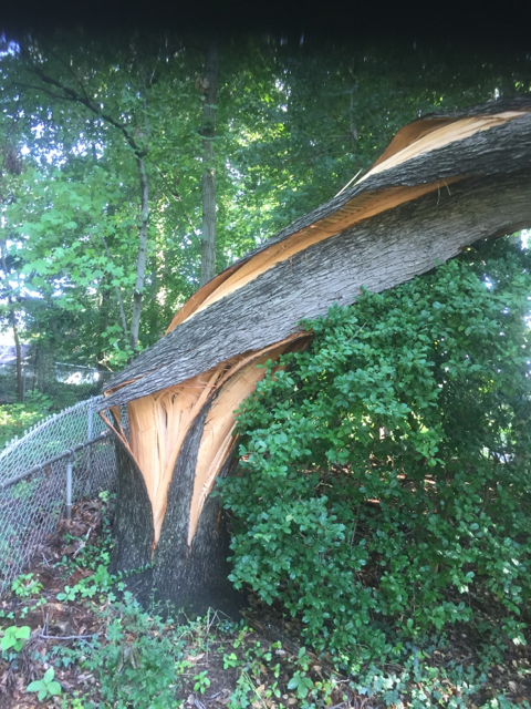
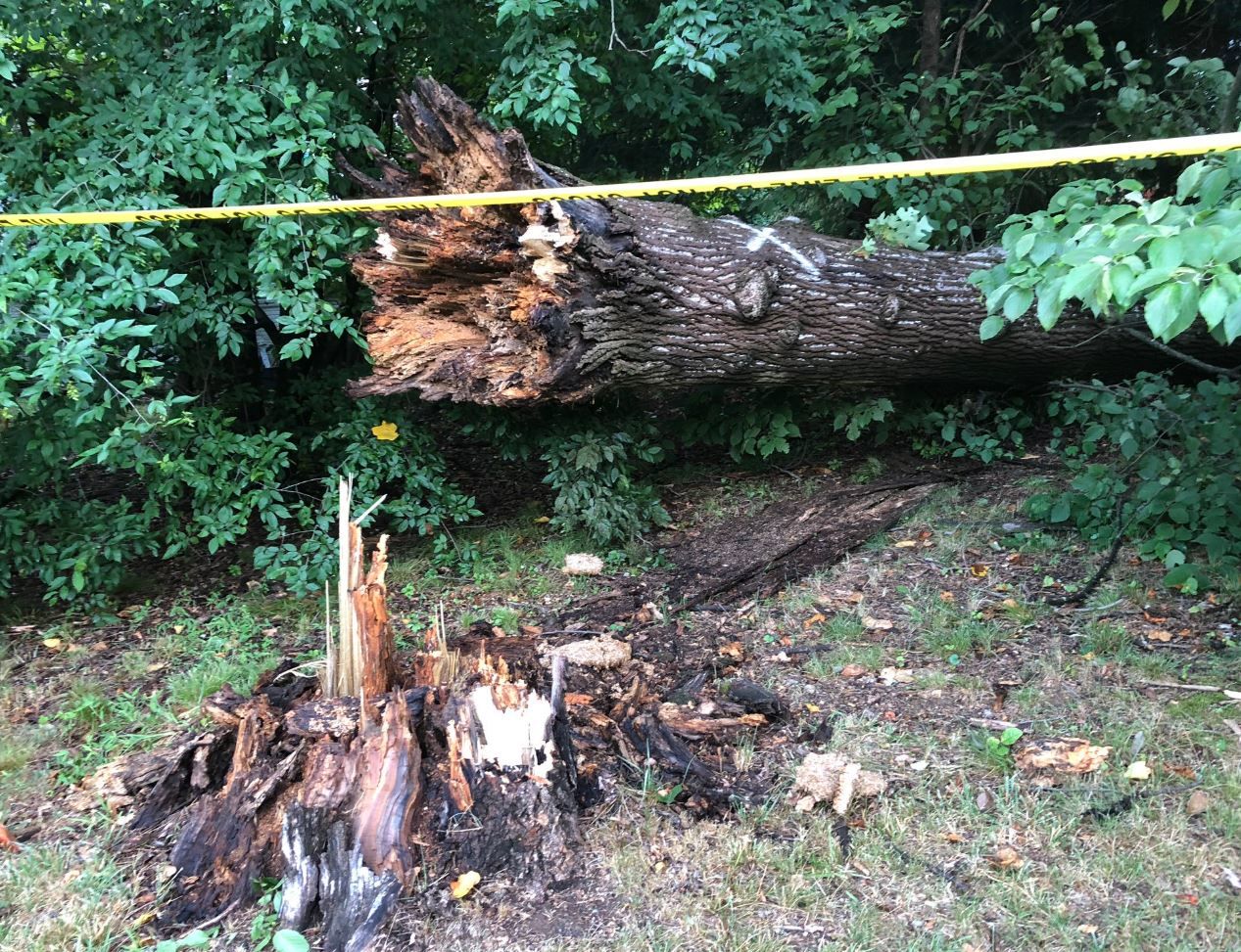
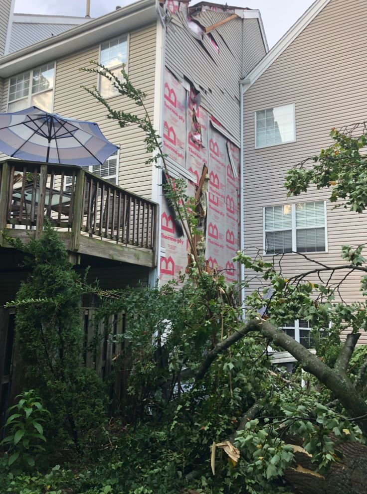
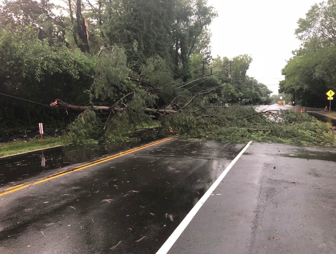


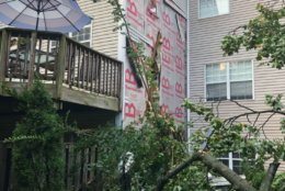
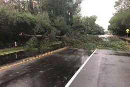
There was a report of a tree that fell on a church in Leesburg, Virginia; a tree that snapped in half at the Rockville Metro station; a tree that fell on a house in Rockville, Maryland; in addition to several reports of downed trees and wires in the D.C. area. No injuries have been reported yet.
@TownofLeesburg Tree down on St James on Cornwall in Leesburg #Leesburg pic.twitter.com/bIkY4GNAeJ
— Kristy M (@Lynncat123) July 2, 2019
Montgomery County Fire and Rescue Service reported several roads blocked due to downed trees and wires.
For the latest traffic conditions, go to the WTOP Traffic page.
Outages
The storm left a wake of outages throughout the region. In Northern Virginia, more than 7,500 Dominion Energy customers lost power. As of Wednesday afternoon, over 2,000 in Fairfax were still without electricity.
In Maryland’s Montgomery County, almost 200 Pepco customers are without power.
Below are the latest power outage numbers.
Current weather
WTOP’s Reem Nadeem contributed to this report.

