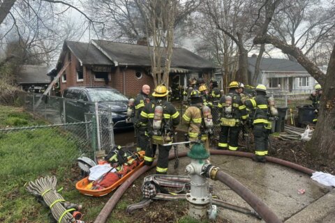
#DCsBravest monitored downstream Rock Creek while working to obtain status of driver from @USPS vehicle washed off road. We have confirmed driver is safe & unharmed. Also sheltering in ambulance 2 occupants of other vehicle swept off road nearby. They were uninjured. pic.twitter.com/GkrRr0YGlj
— DC Fire and EMS (@dcfireems) July 26, 2018




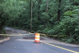


WASHINGTON — After an onslaught of showers and storms Wednesday night, Thursday offered some dry relief to a region weary from flooding.
But more wet weather, unfortunately, is likely in the days ahead.
Hard to believe but it’s not raining in Washington this morning… and it may not rain on us at all today. That would be a novelty. More sunshine today than we’ve seen in a week. 88° this afternoon. Chance of rain today? Yes, but only 20% or less. pic.twitter.com/ALbr0MhQRO
— Chuck Bell (@ChuckBell4) July 26, 2018
“The driest first half of July on record has now been replaced by the wettest second half,” said Storm Team4 Meteorologist Chuck Bell.
Rainfall totals for the month of July amounted to 15.43 inches at BWI Marshall Airport, 9.69 inches at Dulles International Airport and 9.19 inches at Reagan National Airport.
Since Saturday alone, rainfall totals at BWI Marshall add up to 11.17 inches; at Dulles, a total of 7.7 inches of rain fell upon the area. Reagan National had a total of 6.4 inches of rain since Saturday’s washout.
But even as the rain finally moves offshore, there may still be residual flooding as the waters recede. The ground is already soaked, so the water has no place to go. It makes the threat of thunderstorms Friday night particularly menacing.
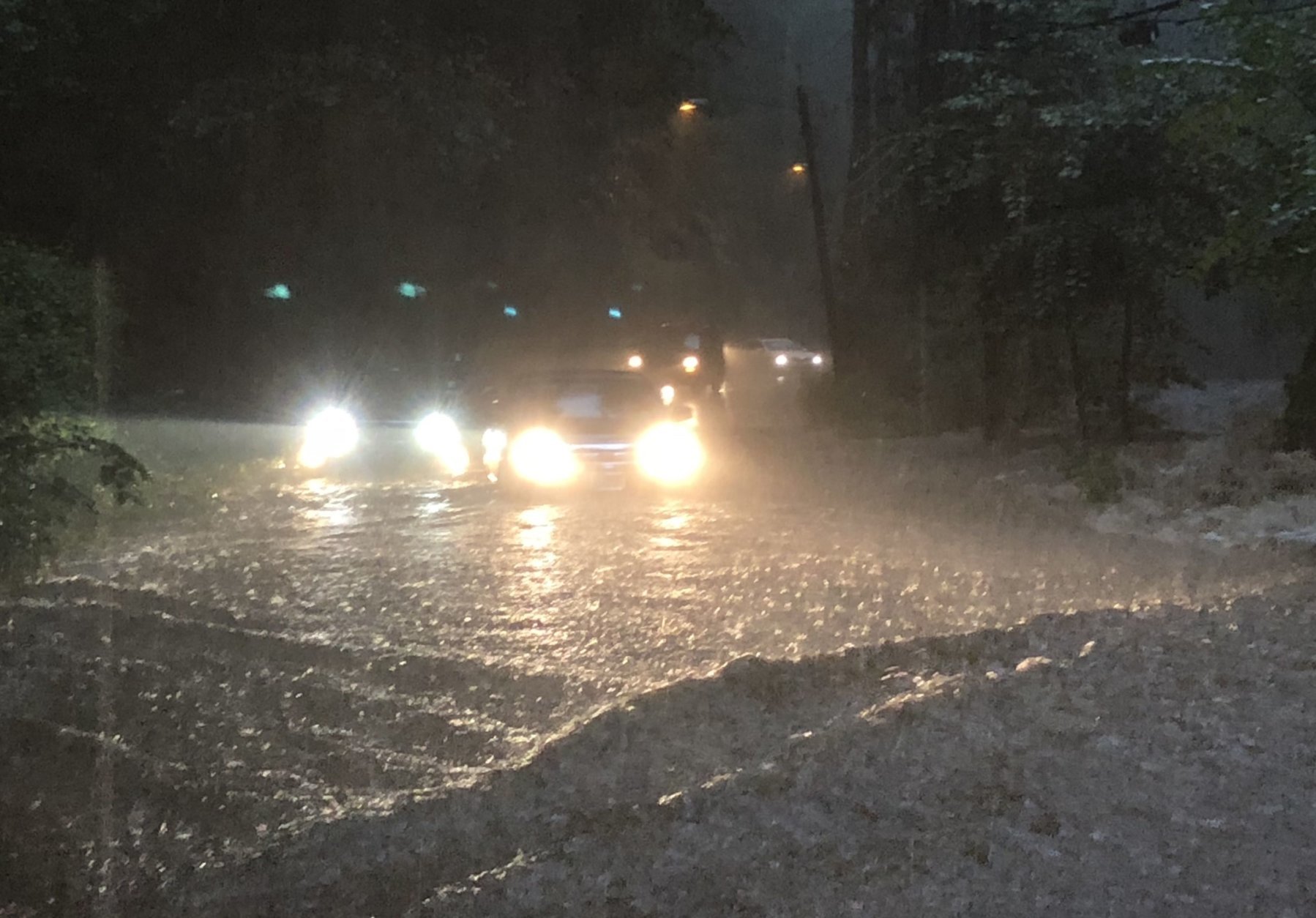
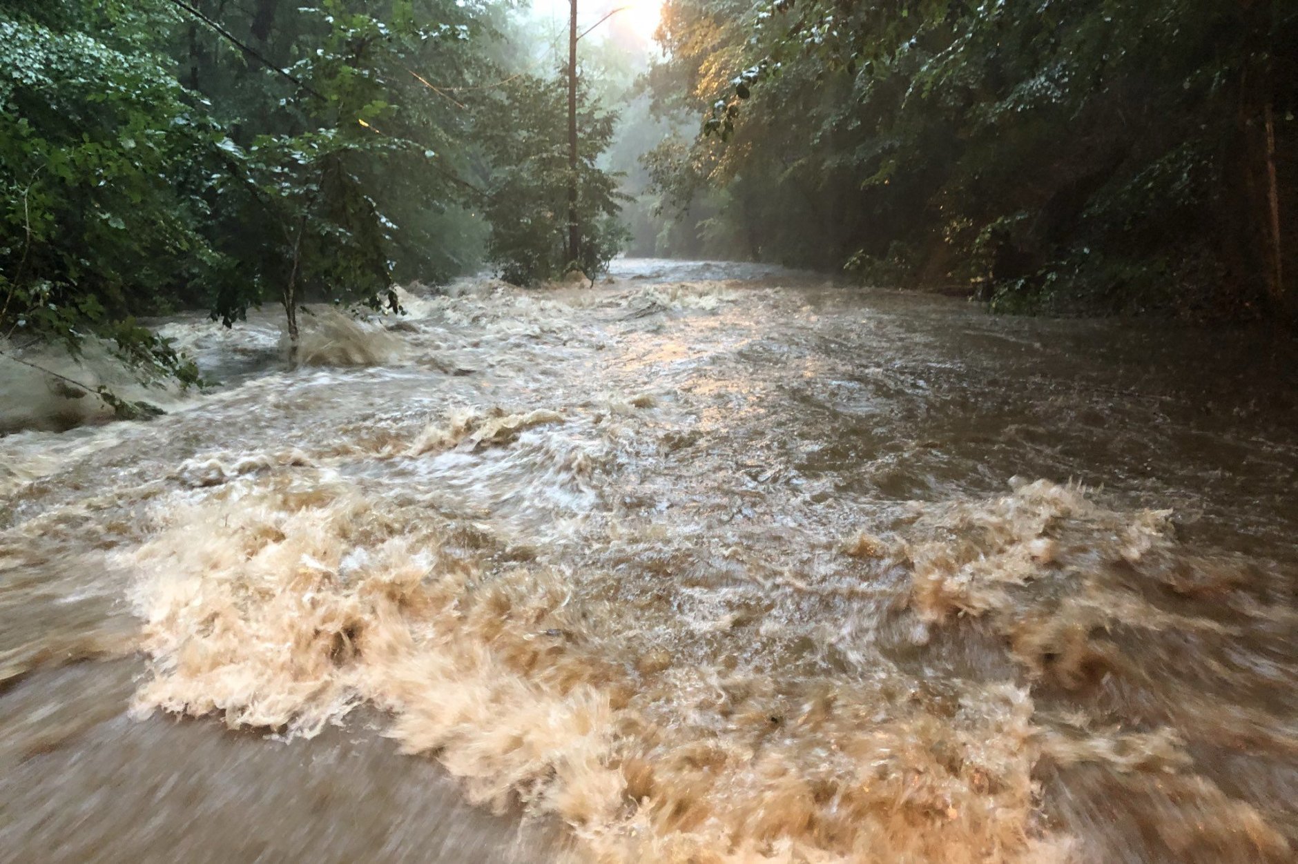
Roads were underwater and waterways overflowed across the D.C. region Wednesday night, and the National Weather Service continues to advise people to steer away from flooded areas as rainwater runs off.
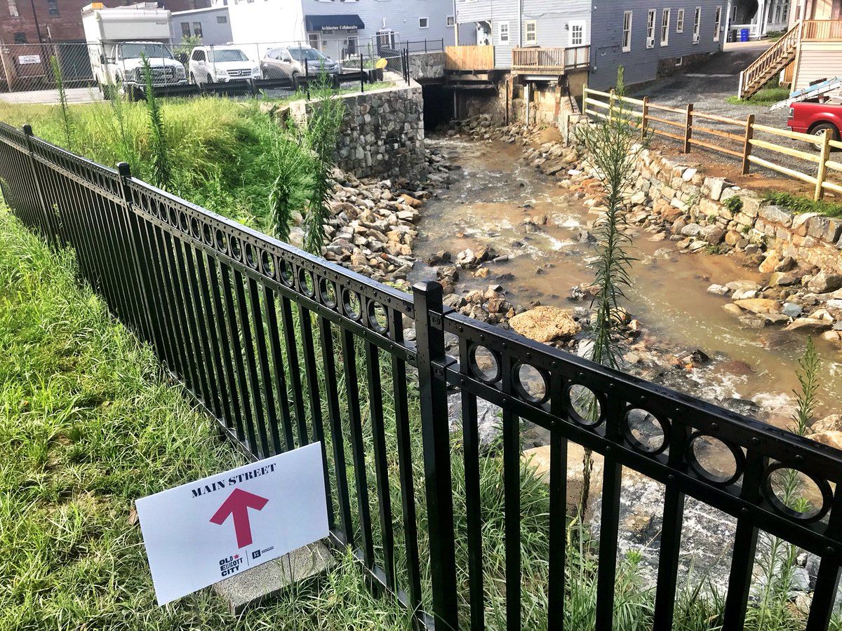
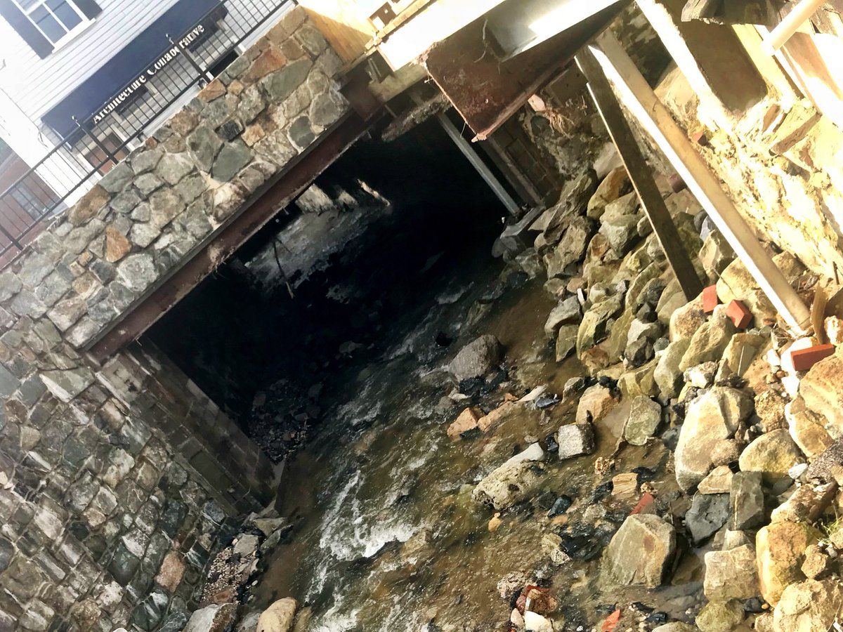
The National Weather Service said some area streams and creeks rose 4 to 7 feet in an hour Wednesday night. Sligo Creek in Takoma Park, Maryland, and Rock Creek in D.C. surpassed their flood stages by around 8:30 p.m., according to the weather service.
Montgomery County officials shut down intersections on parts of Beach Drive and Sligo Creek Parkway because of flooding and stranded vehicles.
In Alexandria, Virginia, Four Mile Run rose from about 4.3 feet at 7:16 p.m. to 10.6 feet at 7:27 p.m., the weather service said.
The weather service is also warning residents of the threat from trees toppling because of the heavily saturated ground from all the recent rain. Trees can fall over with little or no wind in these conditions, the weather service said.
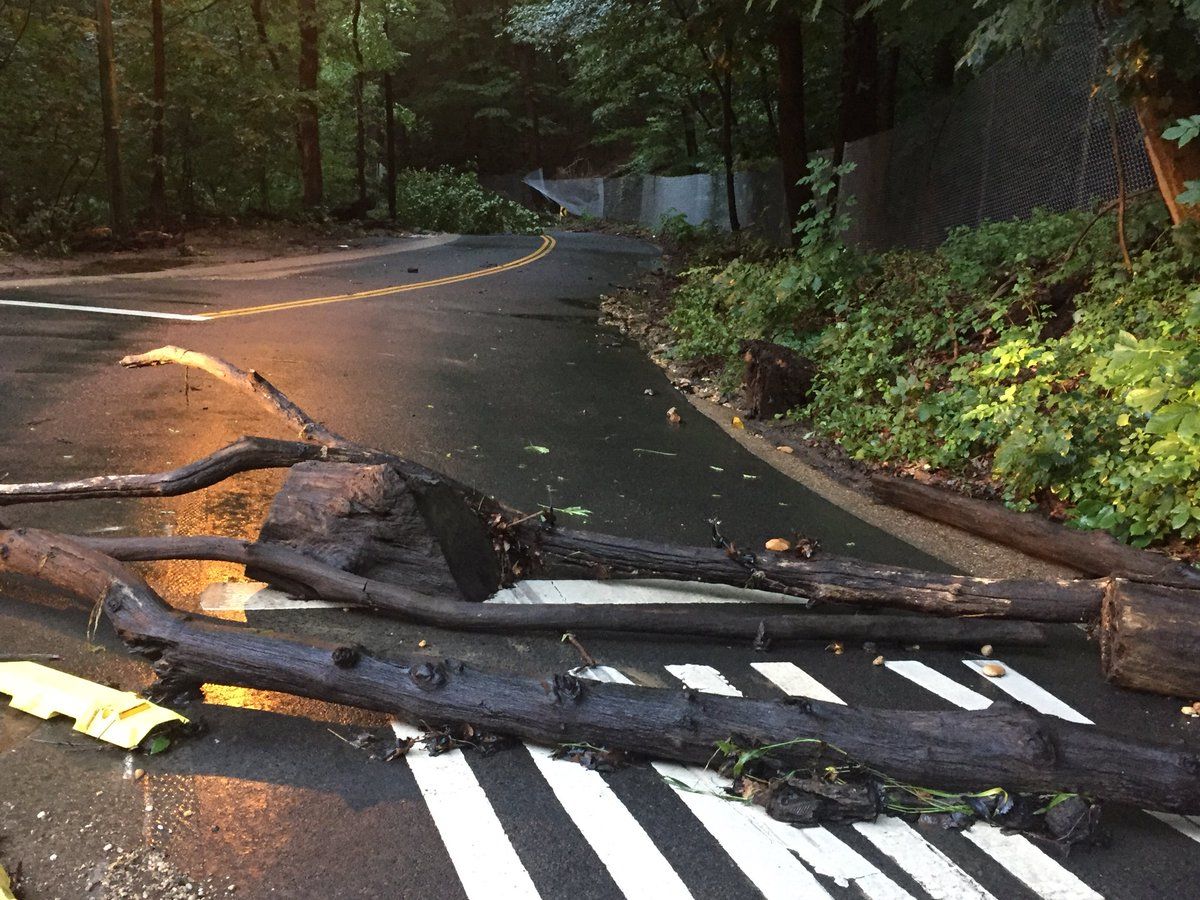
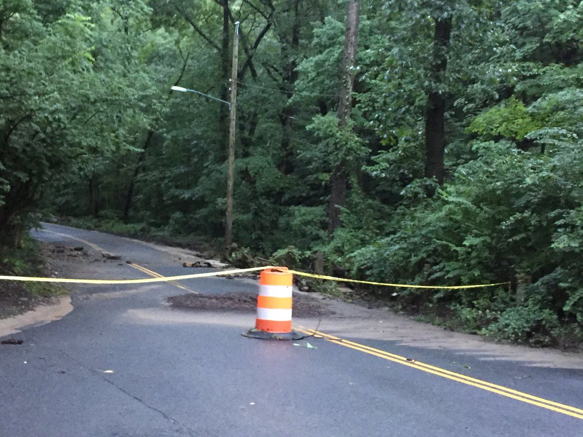
Broad Branch Rd in Rock Creek Park dealing with lotsa downed trees. It’s not flooding that’ll get you now, but trees too heavy for this soft ground. Keep up with @WTOPtraffic at @WTOP pic.twitter.com/WlAxY93DgU
— John Domen (@JDDsays) July 26, 2018
A woman was killed Monday night after a tree fell on her home in Burke, Virginia.
As a precaution, Montgomery Parks has closed all natural surface trails to the public until further notice. Excessive rain may create dangerous conditions for park users as well as affect the integrity of the trails. Paved trails remain open.
Drivers should stay alert when going through wooded areas for the potential of downed trees.
Traffic and transit
Flooding and downed trees have caused some major problems on local roads.
Downed wires have closed Russell Road in Alexandria in both directions at West Windsor Avenue.
In D.C., rain and heavy flooding prompted water rescues. On Grant Road and Davenport Street in Northwest, a mail truck overturned into a waterway; D.C. Fire and EMS said the driver is safe. Also, at Grant Road and 27th Street, still in Northwest, two people self-evacuated from a car and sheltered nearby.
The Rock Creek Park area in D.C. is “very hazardous,” according to D.C. Fire and EMS.
#DCsBravest on scene Grant Rd & Davenport St NW. Mail truck over turned in the water. We searched area and found no victims. Avoid Rock Creek Park roadways due to debris and flooding. pic.twitter.com/Wk0RgUYUSl
— DC Fire and EMS (@dcfireems) July 25, 2018
#DcsBravest on scene of 2nd water rescue call Grant Rd and 27th St NW. 2 Occupants of vehicle self evacuated and sheltered at nearby home. Large tree also fell close to DC FEMS vehicle. No injuries. Conditions in Rock Creek Park are very hazardous. pic.twitter.com/GIvkGvZuK1
— DC Fire and EMS (@dcfireems) July 26, 2018
D.C. police also reported high standing water in Northwest on Broad Branch Road between Brandywine and 27th streets Wednesday night. All lanes continue to be closed Thursday because of a downed tree.
Multiple water rescues also happened across Montgomery County, Maryland.
ICYMI — multiple water rescues — Sundale Dr & East West Hy; Isaac Walton Way & W Willard Rd, vehicles in high water — occupants self rescued, no injuries, roads CLOSED pic.twitter.com/NLZsbLhi3x
— Pete Piringer (@mcfrsPIO) July 25, 2018
Get the latest traffic report at WTOP’s Traffic page.
Current conditions
Forecast
Friday is expected to stay dry most of the day, though there is a line of storms that may move in around 4 to 8 p.m. “There is a chance some of these storms may become severe,” said Storm Team4 Meteorologist Sheena Parveen.
Here’s the outlook for the next few days:
- Friday: Partly cloudy. Late day thunderstorm possible. Highs near 90.
- Saturday: Mostly cloudy with a chance for showers. Highs in the mid-80s.
- Sunday: Mostly cloudy with a chance of showers. Highs in the mid-80s.
- Monday: Scattered thunderstorms, with a high around 80.
Power outages
See the latest power outages below.

