WASHINGTON — As a post-tropical cyclone, Hermine continues to tear into coastal regions and intensified Saturday as it moved off the Virginia coastline and interacted with an upper-air low pressure center.
The “post-tropical” designation means the storm no longer has the “warm-core” characteristics to be considered a tropical cyclone. However, it remains a dangerous storm and is expected to pack a punch through the Labor Day weekend as it slams East Coast beaches with drenching rainfall, gusty winds, storm surge flooding and life-threatening rip currents.
“This is not a beach weekend for anyone in the Mid-Atlantic to the northeast,” Eric Blake, with the National Hurricane Center in Miami, told The Associated Press.
As of 11 p.m. Saturday, the storm had intensified to top sustained winds of 70 mph and was located about 205 miles southeast of Ocean City, Maryland. It is expected to slow late Saturday night before turning northward Sunday and then northwest Monday, according to the National Hurricane Center. The center continues to forecast Hermine’s possible momentum to hurricane-force strength on Sunday. The Delmarva beaches face wind-swept heavy rain, large waves and storm surge flooding from Saturday night into Labor Day. Rainfall totals are projected to be around 3 to 7 inches in these areas through the weekend.
In contrast, the D.C. region had breezy conditions Saturday with wind gusts to 30 mph Saturday afternoon. The rest of the Labor Day weekend for the immediate D.C. area looks mostly tranquil: cloudy with peeks of sun, breezy and some rain. Visit the weather page for the latest local forecast.
Impact on weather in D.C. region
There might be a few random showers Saturday night and Sunday in the D.C. area, especially east of Interstate 95. Bands of rainfall from Hermine could then swing westward on Labor Day, bringing a better chance of showers in the metro area, but the heavy rain hammering the beaches will not be expected locally. And local rainfall totals will only be 0.25 inches or less.
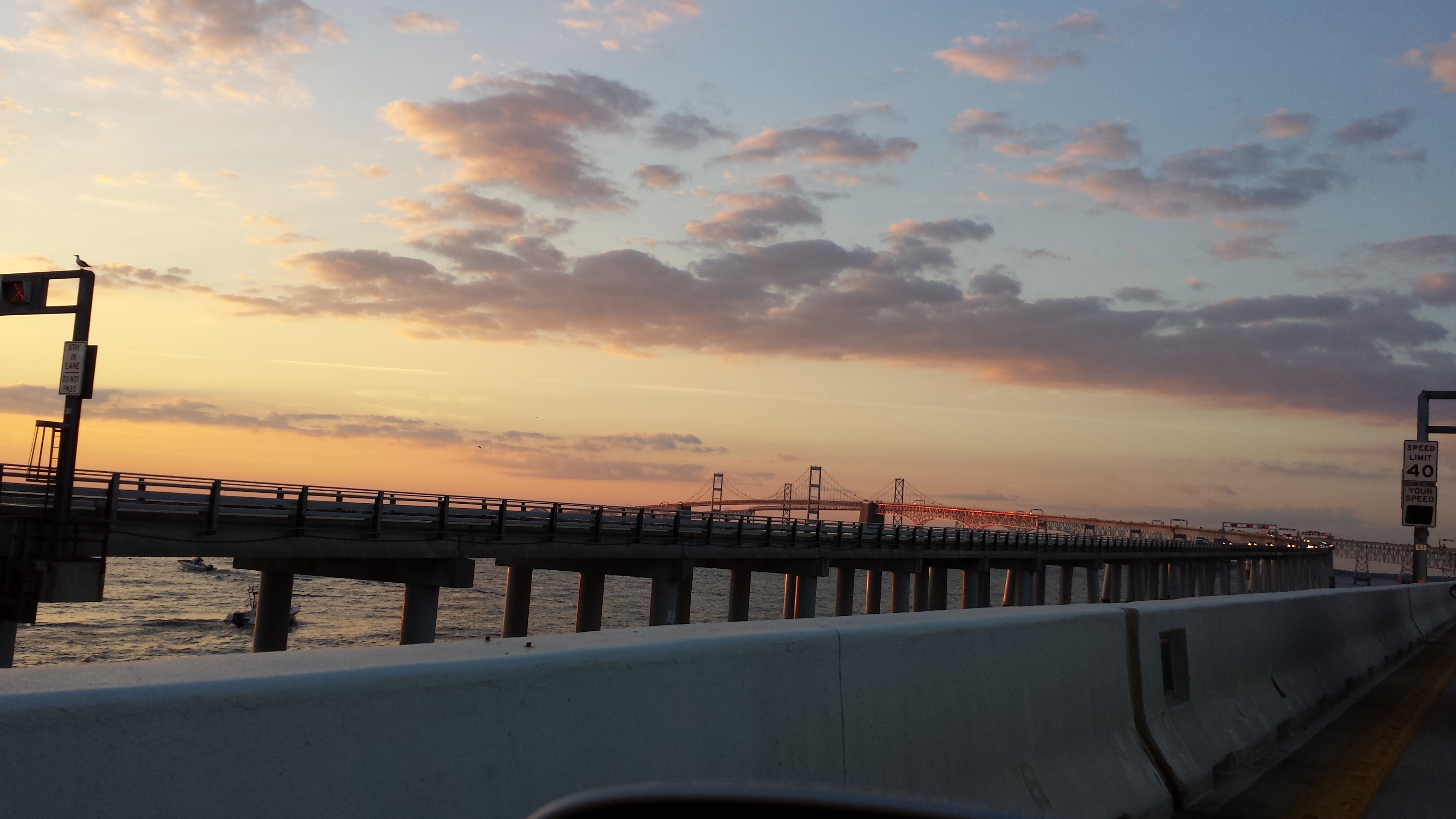
St. Mary’s County could see some flooding from the storm surge — the wind-swept, piling up of water — in the Chesapeake Bay. Tropical Storm Warnings continue for St. Mary’s County and the Delmarva beaches. This means that winds of 39 mph or greater are likely in this area. Tropical-storm-force winds extend outward up to 205 miles (335 km) from the center of Hermine.
“Those winds won’t cause widespread damage, but could take down a few twigs and branches, especially if they were already weakened by decay,” NBC4 meteorologist Matt Ritter said.
The heaviest rain will fall along Maryland’s Eastern Shore and the Delmarva beaches over the weekend, with 3 to 7 inches possible before the storm departs late Monday.
The heavy rain combined with gusty winds of 40 to 50 mph will produce storm surge flooding and tremendous beach erosion, especially around high tide. Coastal flooding could be especially problematic around times of high tide at the Delmarva beaches and Chesapeake Bay. High tides were reported to be 3 to 4 feet above normal high tides around the coast, and 1 to 2 feet above usual around the bay area.
Swimming is banned at Ocean City, Maryland, this weekend since choppy waves and rip currents could become dangerous.
Given the threat for significant storm surge flooding at the beaches this weekend, travelers who encounter flooded roadways are reminded to turn around and find an alternate route. Many cars can be swept away by only 18 inches of fast-moving floodwaters and can turn a situation deadly.
The Associated Press and NBC 4 Storm Team’s Tom Kierein and Steve Prinzivalli contributed to this report.