WASHINGTON — After a historic winter and a historic El Nino season, we will be transitioning into a La Nina pattern (below-normal water temperatures in the Pacific Ocean) as hurricane season approaches. La Nina is favored to develop during the northern hemisphere summer of 2016 and continues through the fall and perhaps the winter of 2016-2017.
To have a La Nina event, the three-month average sea surface temperatures must remain 0.5 degrees Celsius below the long-term average for five or more overlapping three-month periods. There have been 14 La Nina events since record-keeping began on these in the 1950s.
Of those 14, nine of those La Nina events have immediately followed El Nino years. La Nina’s tend to last longer than El Nino events and La Nina generally has little impact on the weather during the summer months in the northern hemisphere. However, that comes with the exception of the hurricane season.
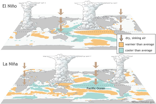
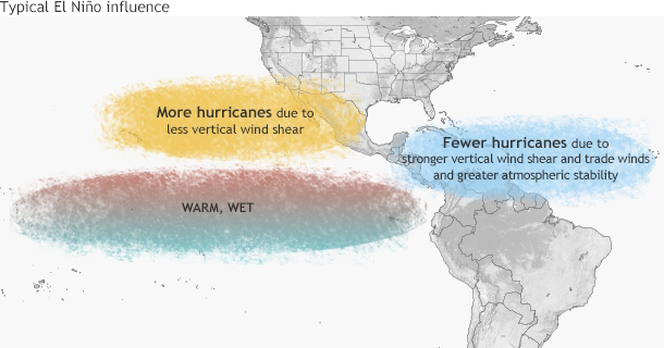
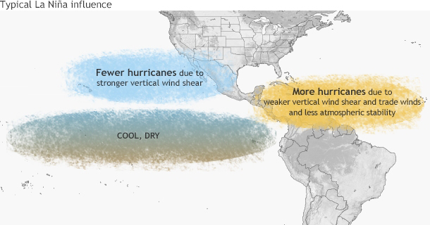
Generally speaking, El Nino events tend to kick up hurricanes in the Central and Eastern Pacific while suppressing those in the Atlantic. This result is opposite for La Nina, which suppresses hurricanes in the Pacific and intensifies them in the Atlantic.
As the weather transitions into a La Nina event for the summer of 2016, StormTeam4 and Chief Meteorologist Doug Kammerer have devised a forecast that is slightly more detailed than the National Hurricane Center to give a best guess of hurricanes that could impact the region:
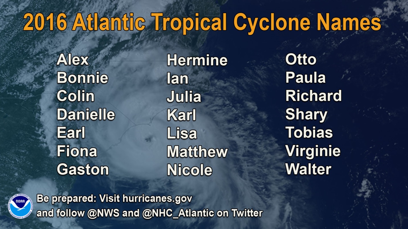
Named Storms: 14
Hurricanes: 4
Major Hurricanes (Category 3 or bigger): 2-3
StormTeam4 predicts that the biggest area of impact will be the northwest Caribbean and the Gulf of Mexico. If there are some storms that move into the Gulf, chances are that they will eventually affect the weather on the East Coast. Although there are several storms that will form, the forecast concludes that most will stay in the Atlantic Ocean.
The time to watch for this is the last week of August into the first week of September when Kammerer said he believes that there could be a storm that could near the eastern seaboard and potentially impact the Mid Atlantic. Most of this forecast is based on past trends and data taken as we have transitioned from El Nino to La Nina years.
Either way, gear up for hurricanes possibly accompanying a brutally hot summer. Time will tell if there will be an active hurricane season but of course, as always, StormTeam4 will keep you updated on developments.