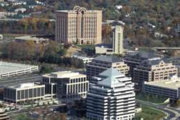
Tysons Corner has changed drastically over the last few decades — swapping dirt roads and abundant farm land for high-rise towers and larger residential development. Take a look at photos from the last 90 years of the area of Fairfax County.
Take a look back in time at some images of the Tysons area over the years. And read Jeff Clabaugh’s special report, Booming Tysons, looming problems: Office vacancies, traffic headaches and more.
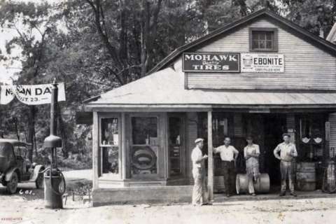
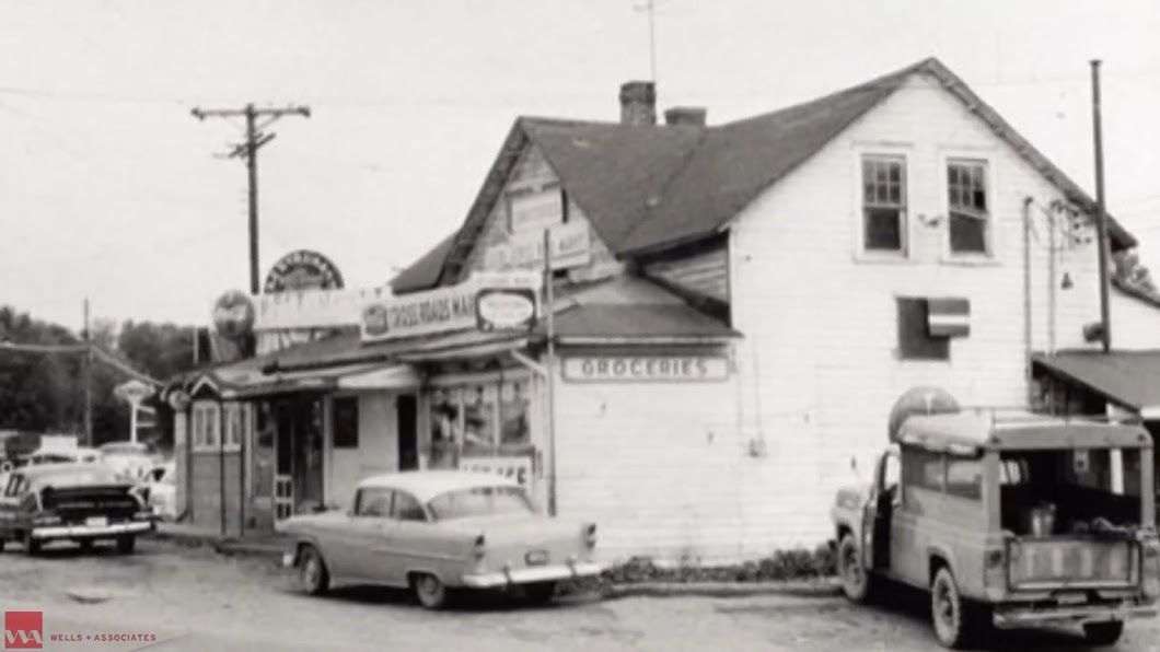
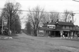
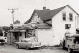
In 1930, Myers Gas Station was at the intersection of Leesburg Pike and Dolley Madison Boulevard.
(Courtesy Tysons Partnership)
Courtesy Tysons Partnership
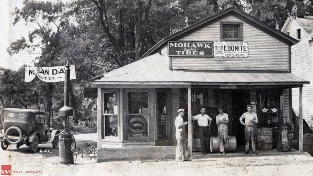
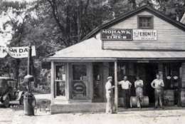
A view of Myers Market from Leesburg Pike in 1930.
(Courtesy Tysons Partnership)
Courtesy Tysons Partnership
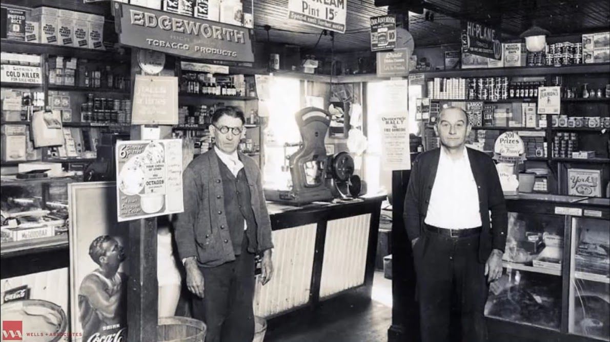
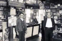
Frank and Charlie Myers inside Myers Market in 1930.
(Courtesy Tysons Partnership)
Courtesy Tysons Partnership
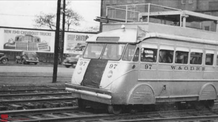
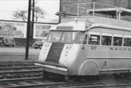
The Washington & Old Dominion Railway seen in 1941 at the boundary of Tysons.
(Courtesy Tysons Partnership)
Courtesy Tysons Partnership
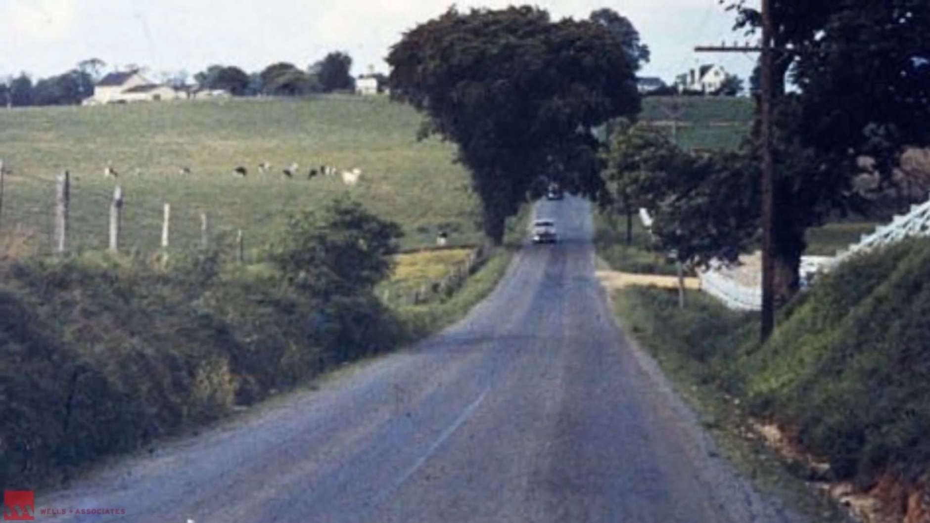
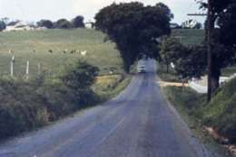
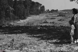
Dolley Madison Boulevard from Tysons toward Evans Farm in 1950.
(Courtesy Tysons Partnership)
Courtesy Tysons Partnership
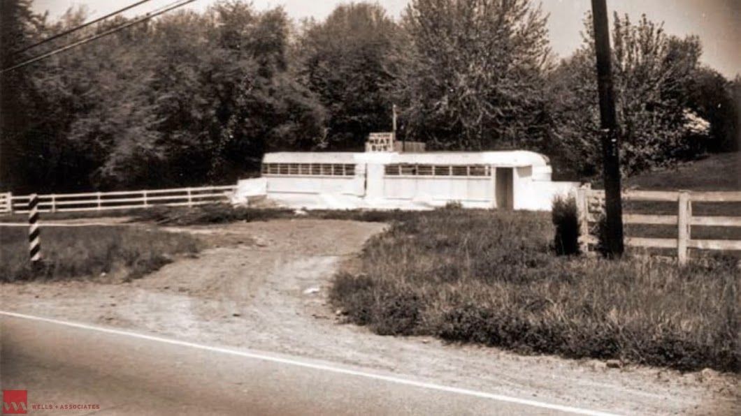
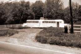
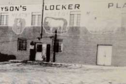
This image from 1955 shows Tysons Locker Plant Meat Bus on Leesburg Pike near present-day Tysons Galleria.
(Courtesy Tysons Partnership)
Courtesy Tysons Partnership
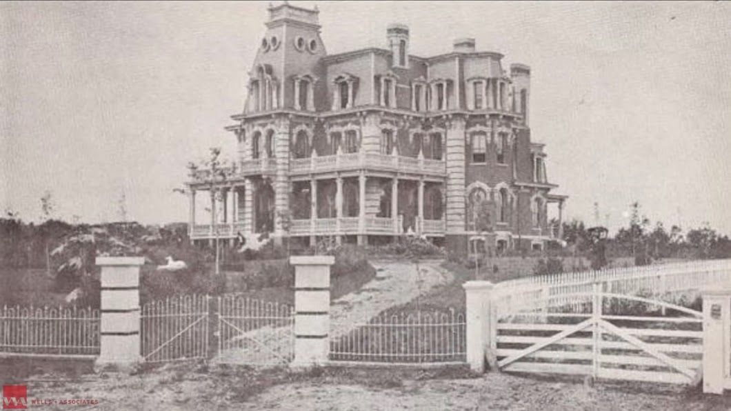
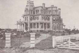
Maplewood Mansion in 1956. The mansion, which was built in 1873, is now the location of the Capitol One headquarters.
(Courtesy Tysons Partnership)
Courtesy Tysons Partnership
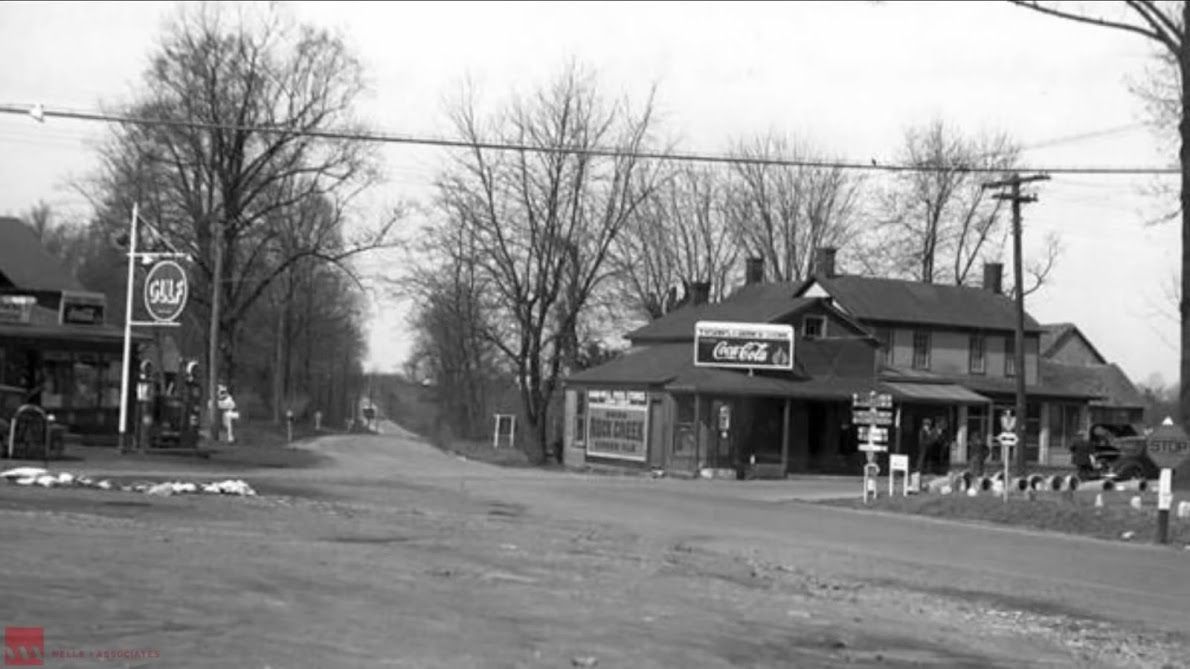
The Myers Market in 1957 located at Tysons Crossroads.
(Courtesy Tysons Partnership)
Courtesy Tysons Partnership
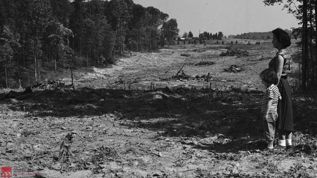
Taken in 1960, this photo shows the construction of the Dulles Access Road north of Ashgrove Plantation in West Tysons.
(Courtesy Tysons Partnership)
Courtesy Tysons Partnership
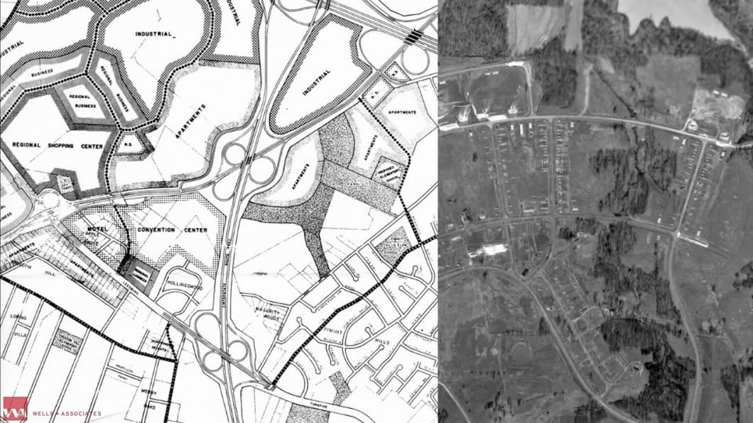
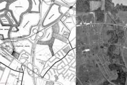
The original Tysons Corner Master Plan in 1961. The design predates Tysons Corner Center.
(Courtesy Tysons Partnership)
Courtesy Tysons Partnership
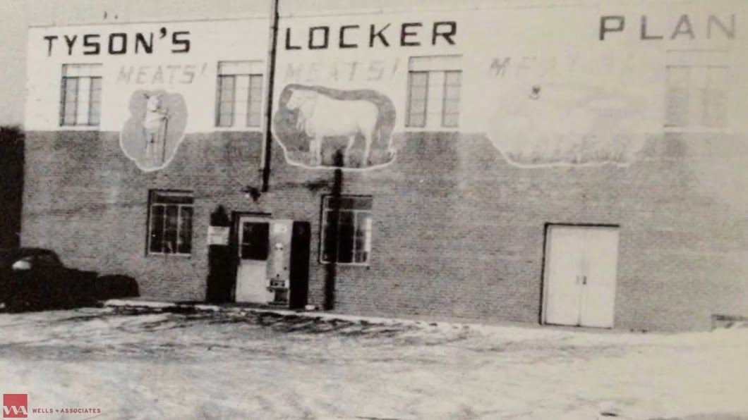
Tysons Locker Plant in 1962. Its Leesburg Pike location is near present-day Tysons Galleria.
(Courtesy Tysons Partnership)
Courtesy Tysons Partnership
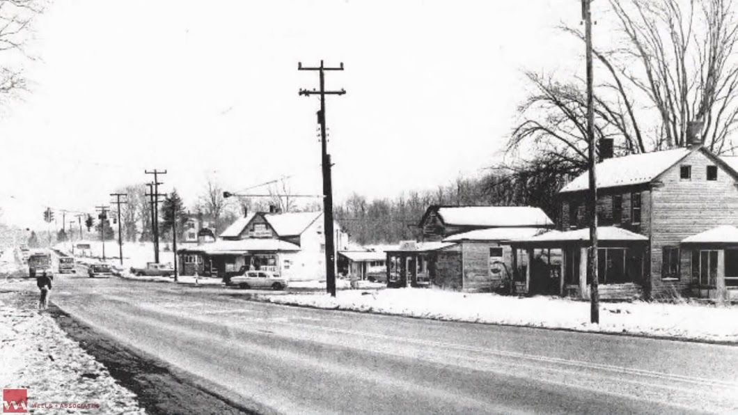
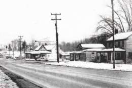
Snowy Leesburg Pike, seen in 1962, headed from west Tysons toward Colvin Run.
(Courtesy Tysons Partnership)
Courtesy Tysons Partnership
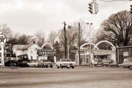
East Tysons/McLean in 1968. The photo shows the area near Old Dominion Drive and Chain Bridge Road.
(Courtesy Tysons Partnership)
Courtesy Tysons Partnership
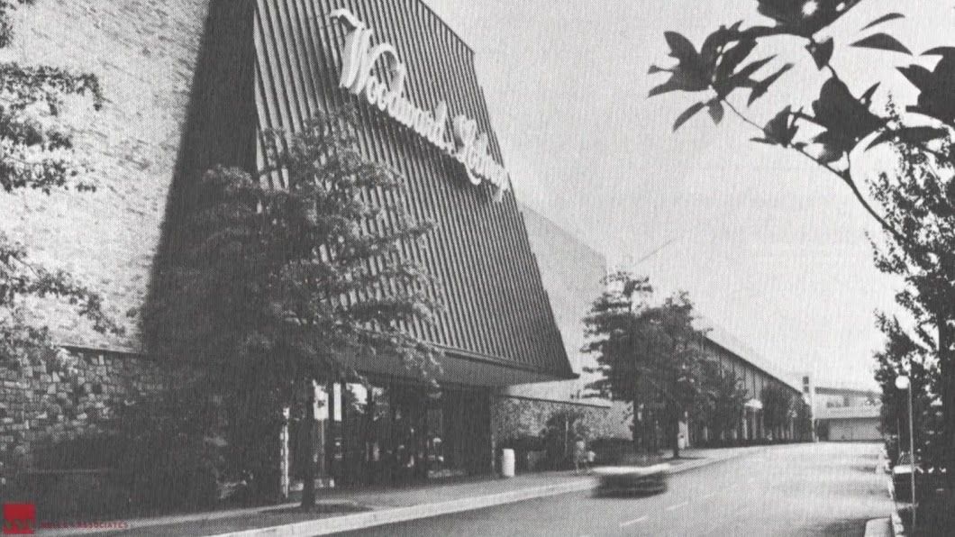
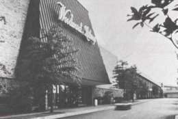
A view of Tysons Corner Center’s main entrance at Woodward Lothrop when it opened in 1968.
(Courtesy Tysons Partnership)
Courtesy Tysons Partnership
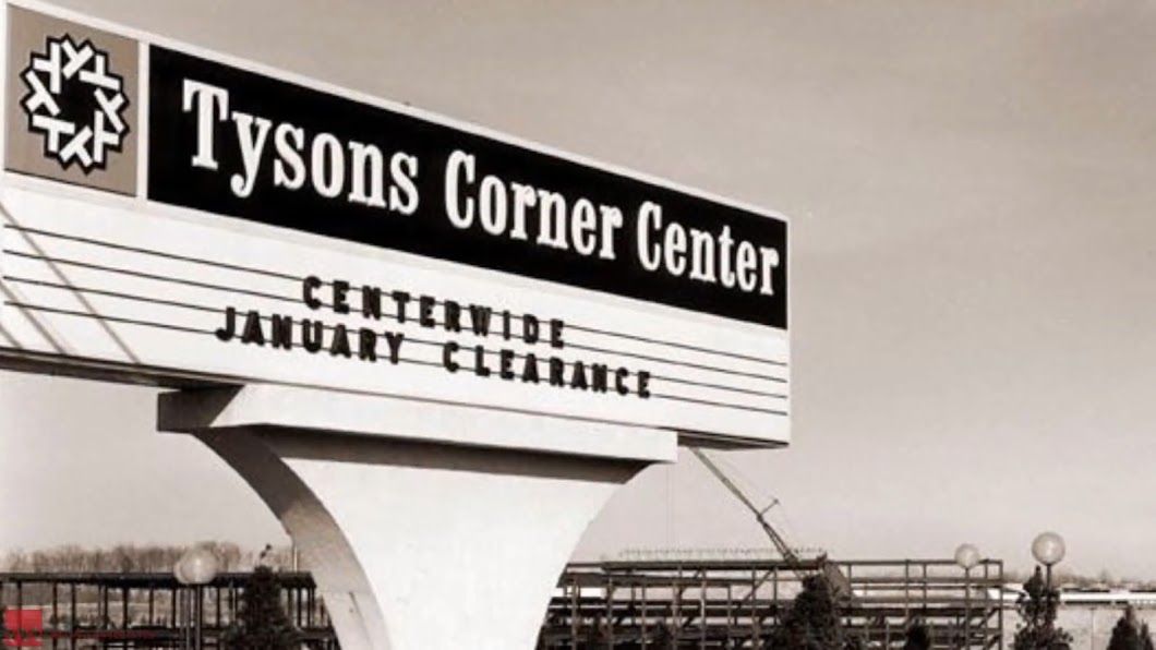
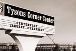
Development at Tysons Corner Center around the mall property in 1969.
(Courtesy Tysons Partnership)
Courtesy Tysons Partnership
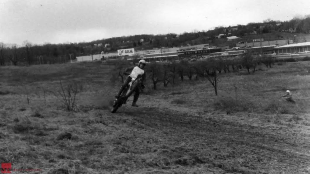
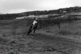
Tysons dirt bike track on Leesburg Pike near Pike 7 Plaza in 1972.
(Courtesy Tysons Partnership)
Courtesy Tysons Partnership
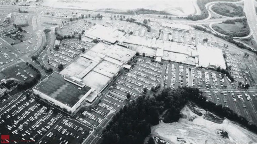
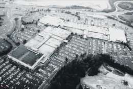
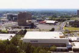
The Tysons Corner Center as seen from above in 1972 from the current-day Towers Crescent.
(Courtesy Tysons Partnership)
Courtesy Tysons Partnership
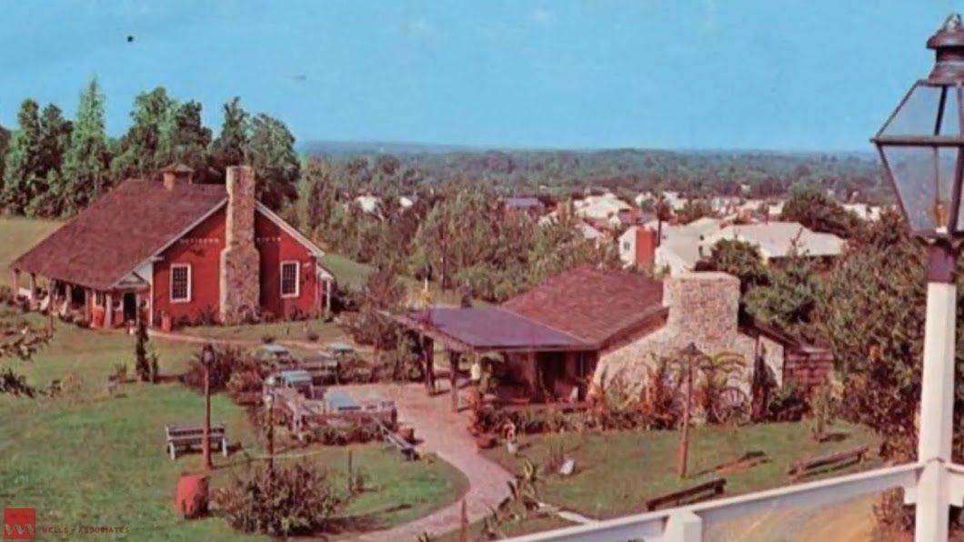
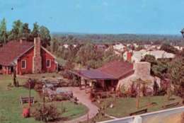
Evans Farm Inn in 1973, which is in east Tysons/McLean along Chain Bridge Road.
(Courtesy Tysons Partnership)
Courtesy Tysons Partnership
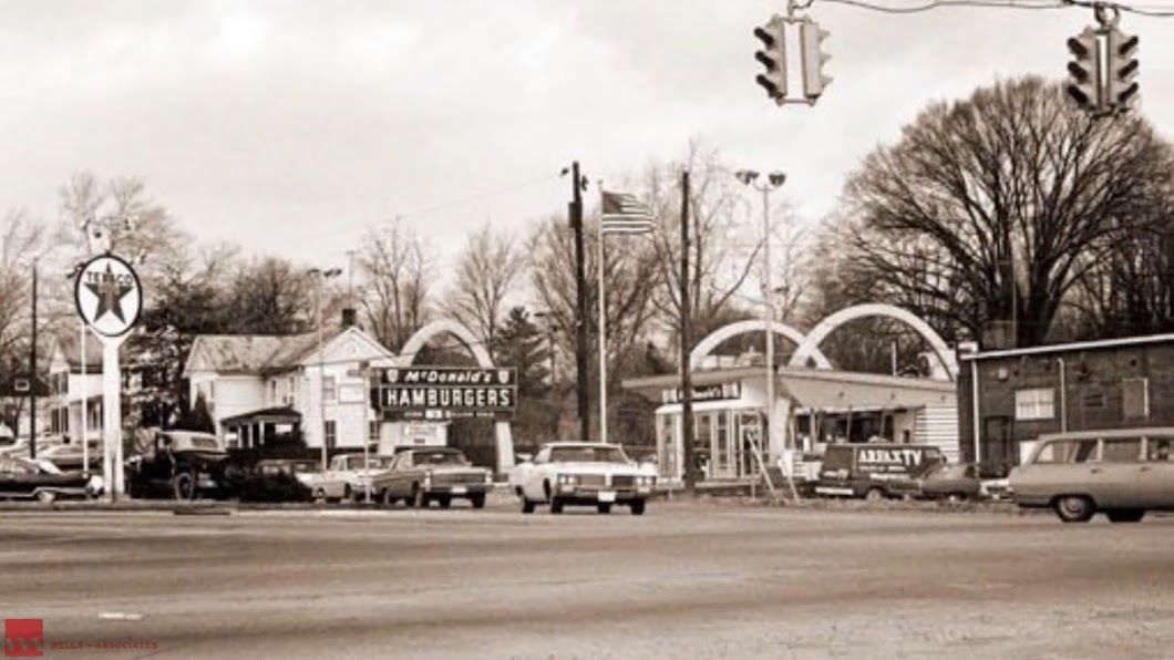
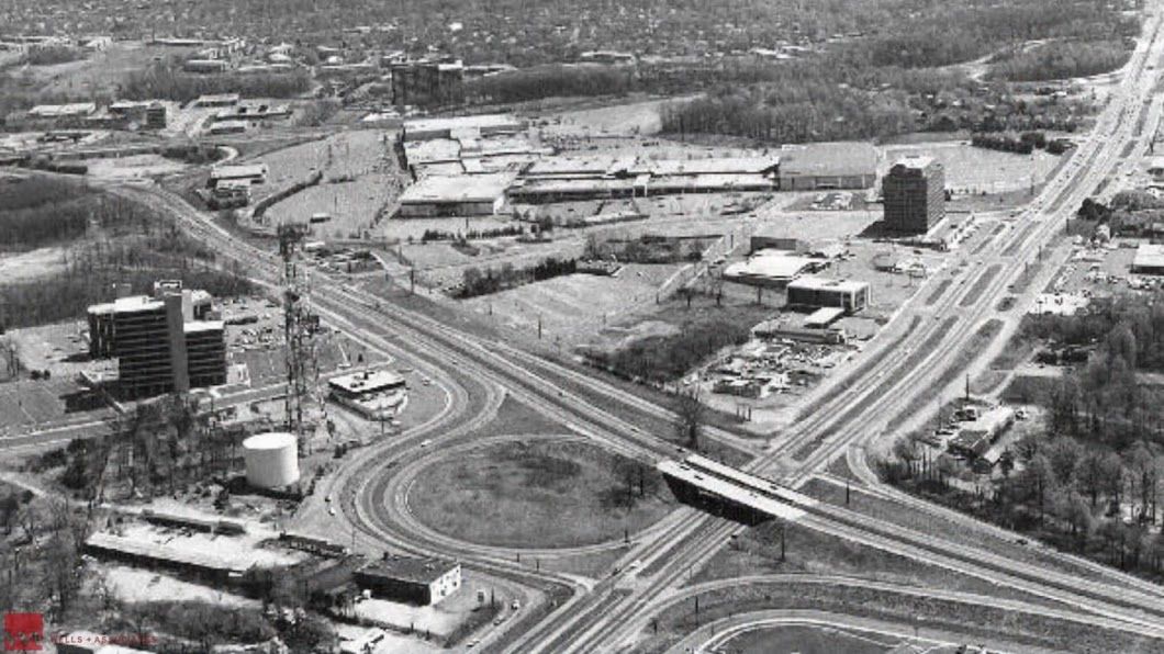
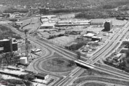
Leesburg Pike and Dolley Madison Boulevard — the interchange road project in the heart of Tysons — in 1974.
(Courtesy Tysons Partnership)
Courtesy Tysons Partnership
Office construction grows along International Drive in 1980.
(Courtesy Tysons Partnership)
Courtesy Tysons Partnership
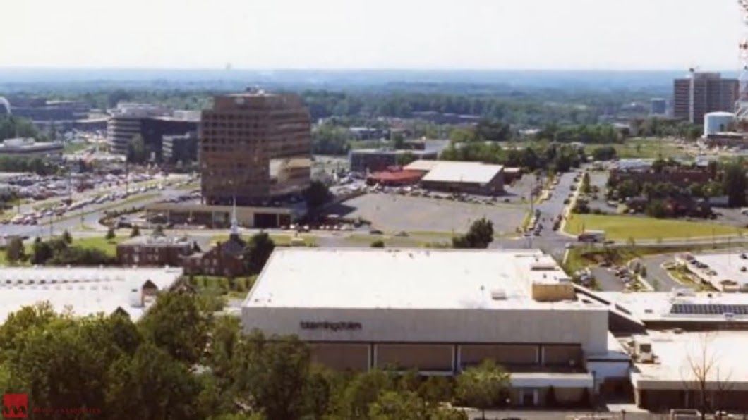
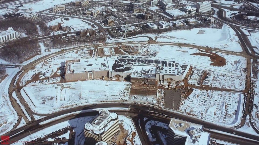
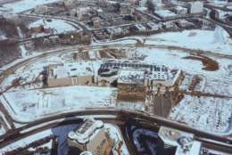
The completion of Tysons Galleria on a snowy winter morning in 1988.
(Courtesy Tysons Partnership)
Courtesy Tysons Partnership
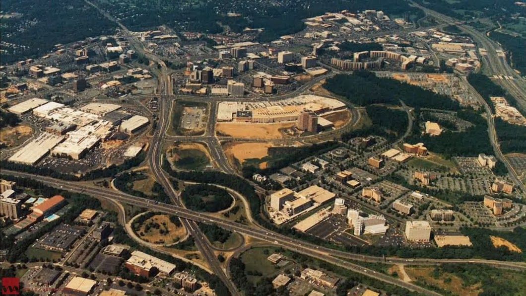
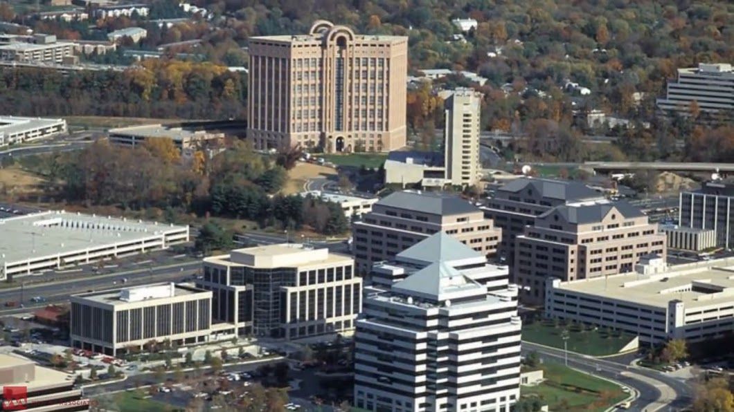
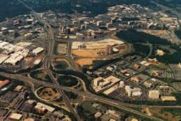
An aerial view of Tysons Corner in 1989.
(Courtesy Tysons Partnership)
Courtesy Tysons Partnership
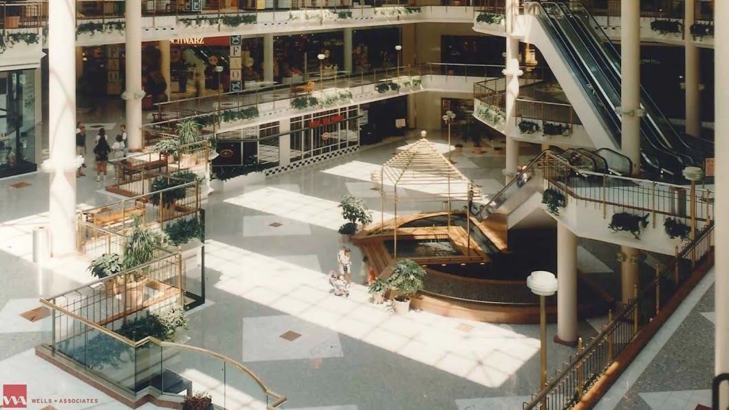
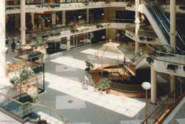
Interior of Tysons Galleria in 1990 before a 1997 renovation.
(Courtesy Tysons Partnership)
Courtesy Tysons Partnership
Towers Crescent in 1994. The office space built in 1986 immediately became a landmark for Tysons Corner.
(Courtesy Tysons Partnership)
Courtesy Tysons Partnership
