WASHINGTON — In a 5-0 vote Saturday, Arlington County’s Board accepted updates to its Chesapeake Bay Preservation Area map.
Additional environmentally sensitive lands near streams, wetlands and other bodies of water have been added to the preservation area.
The last update to the Resource Protection Area map was in 2003.
According to a news release from the county, the newly adopted map takes effect in January 2018. Even though nearly 200 land parcels have been added to the map, about 280 have been removed. The number of parcels in the county with Resource Protection Area status will actually shrink from 1,523 to 1,439.
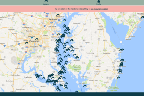
Below is a map of the general preservation area.