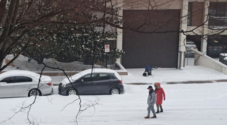
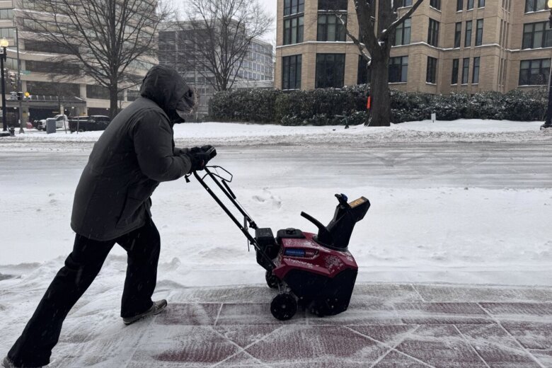
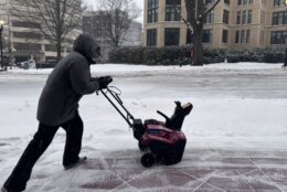
Bitter cold temperatures are gripping the D.C. region Monday night into Tuesday morning, hardening the layer of ice and snow already on the ground from the weekend’s winter storm.
Slick driving conditions are expected overnight and Tuesday morning due to refreezing.
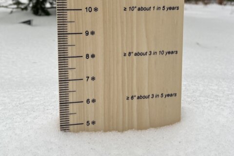
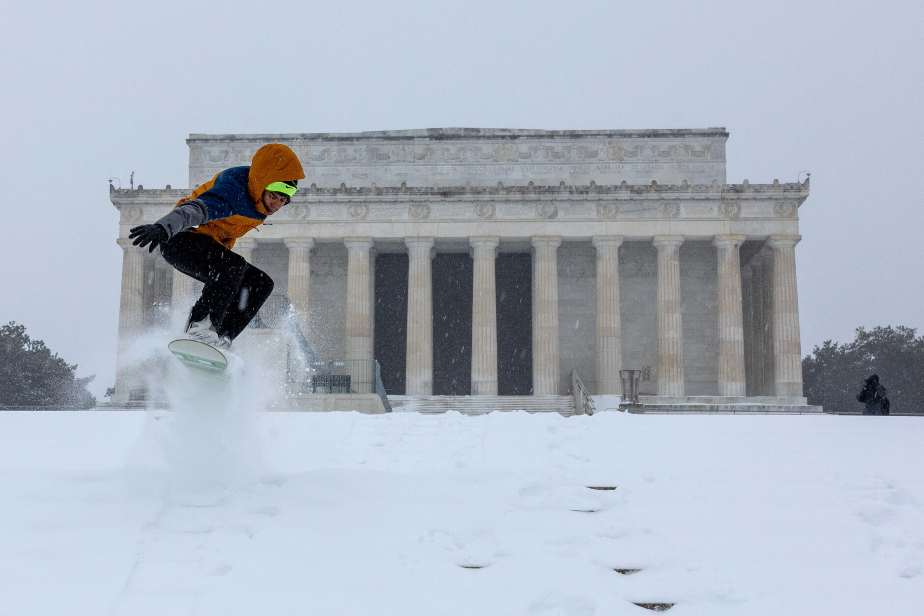
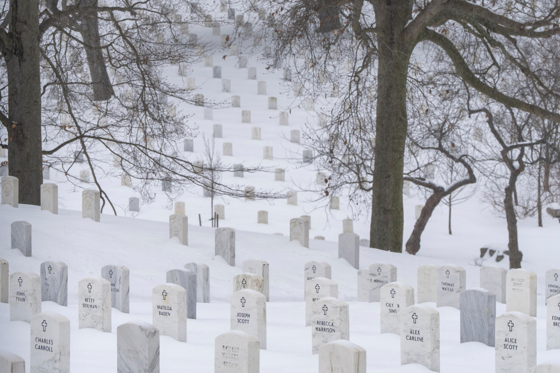
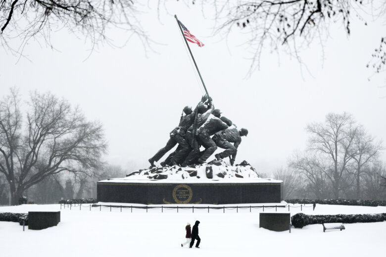
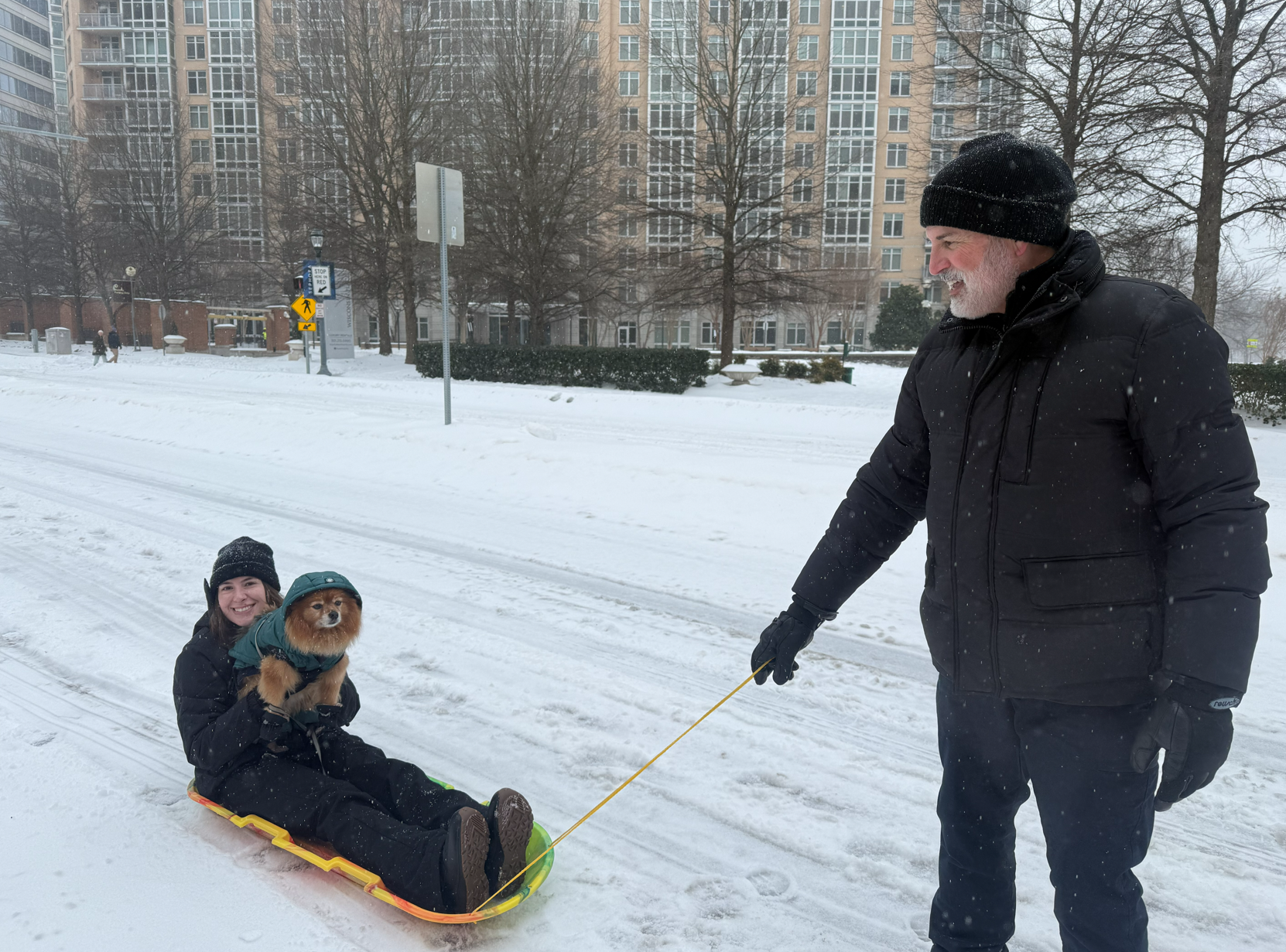
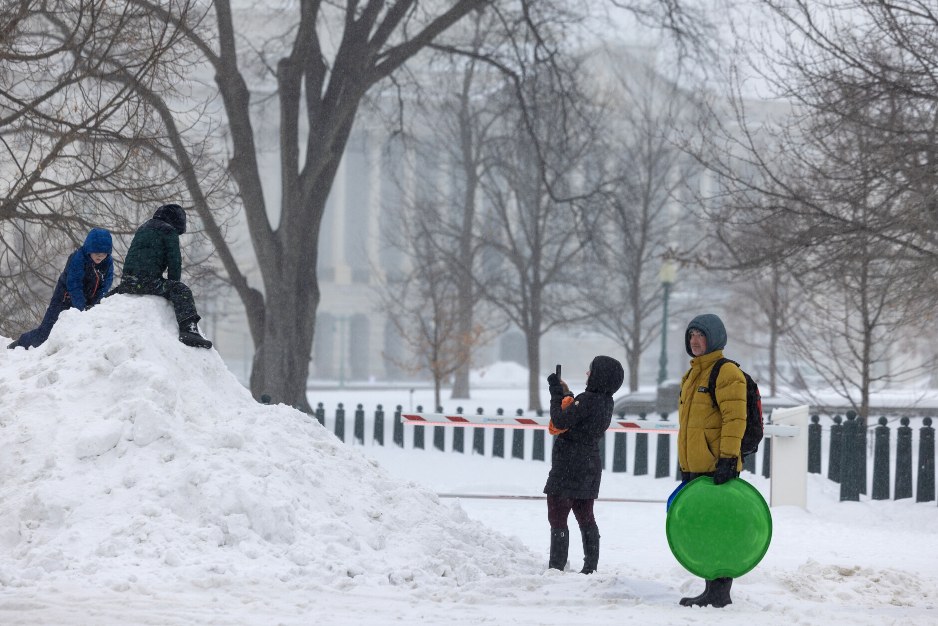
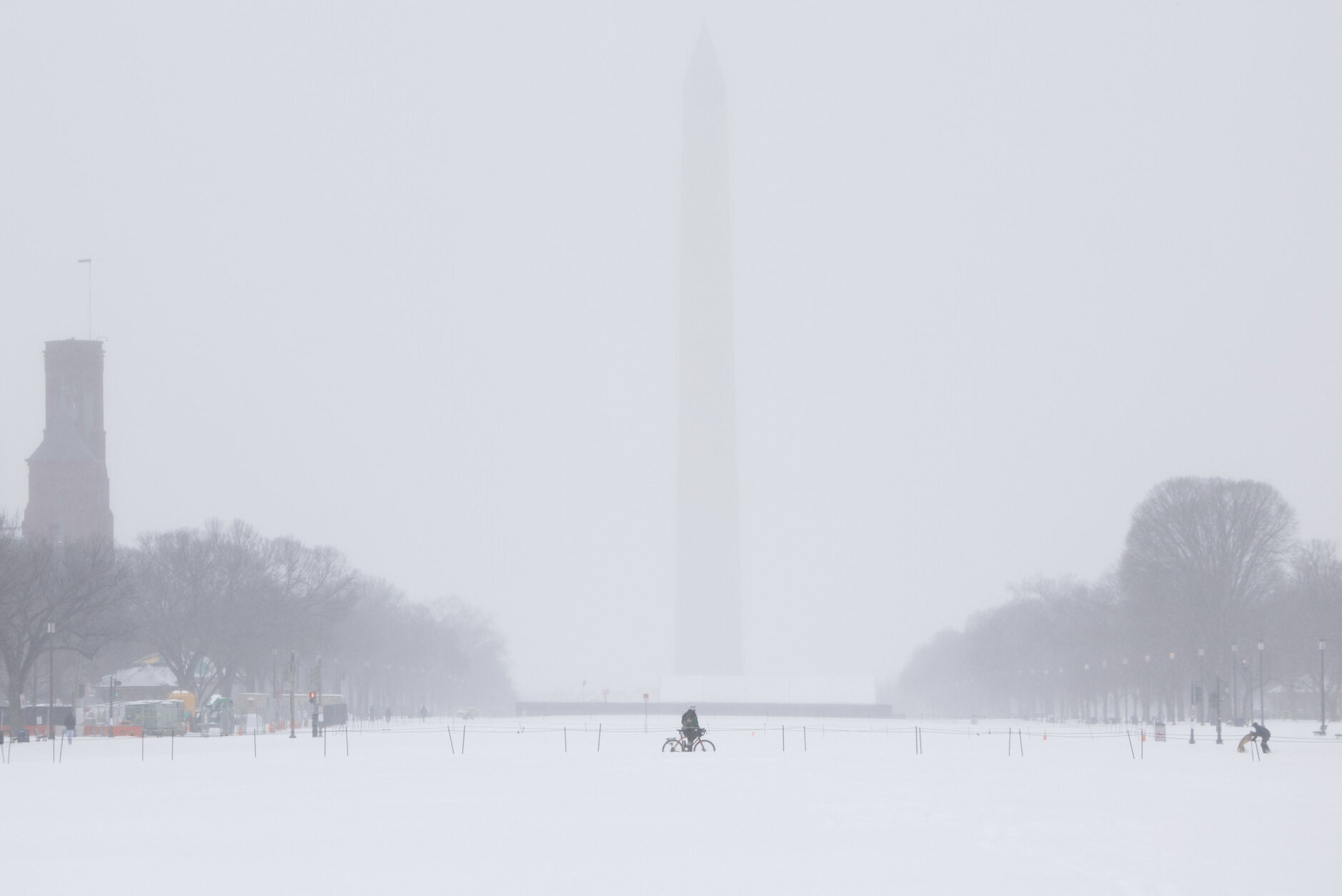
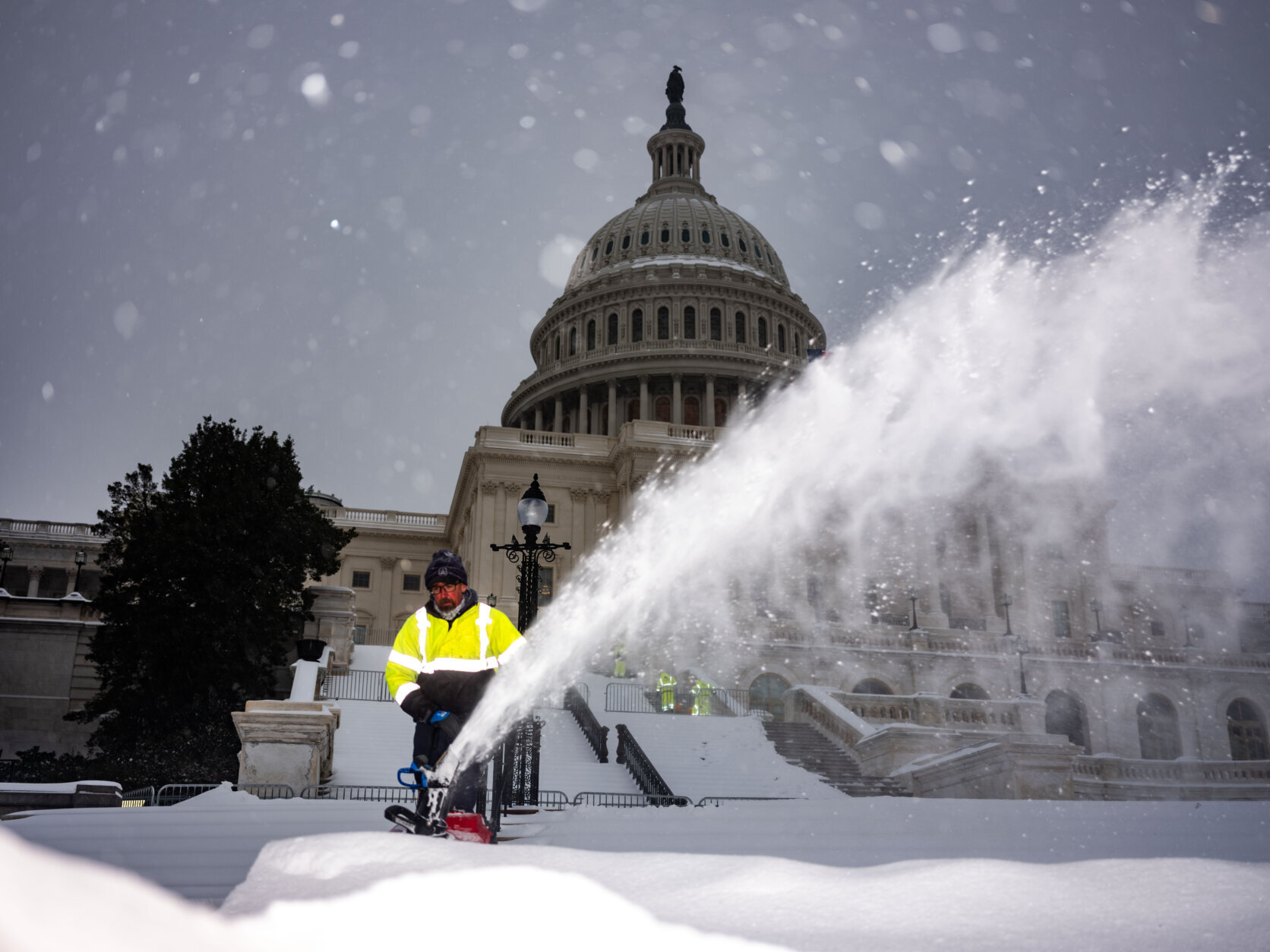
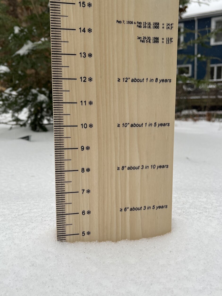
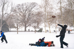
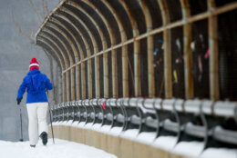
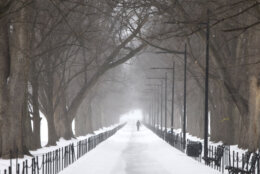
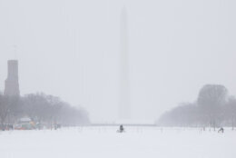
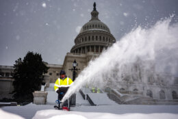
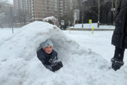
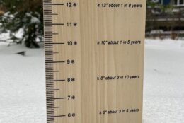
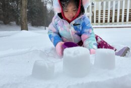
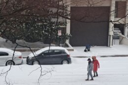
Anywhere from five inches to nearly a foot of snow and sleet fell across the D.C. region, and it’s not going anywhere.
Wind chills are expected to make temperatures feel like they’re below zero Monday night and wake-up temperatures Tuesday will be in the single digits.
Dangerously cold weather expected tonight into Tuesday morning. pic.twitter.com/ZenntvdTKL
— NWS Baltimore-Washington (@NWS_BaltWash) January 26, 2026
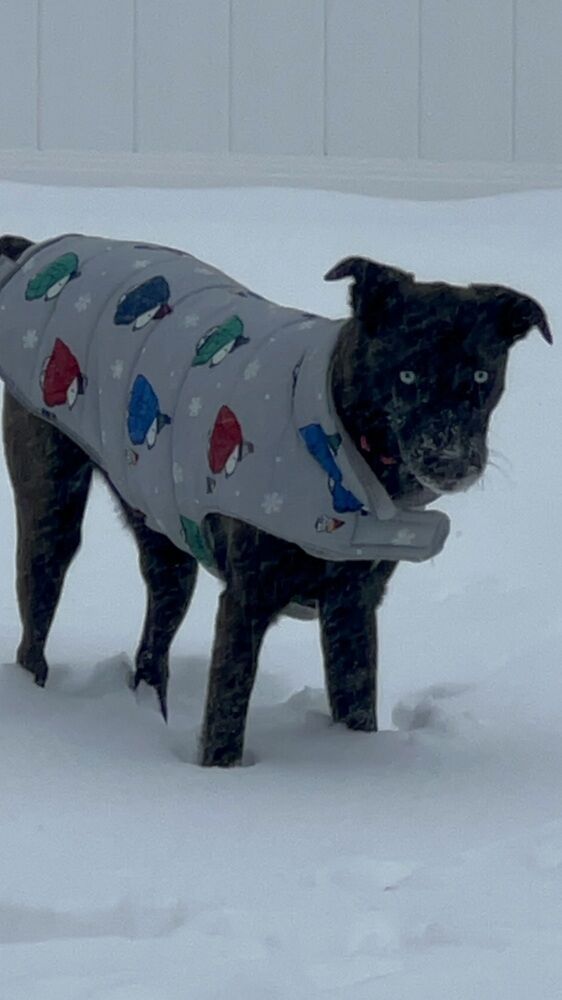
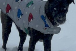
The National Weather Service suggested dressing in layers and keeping “pets indoors as much as possible.” It also issued a cold weather advisory for the D.C. region, cautioning that conditions would be “dangerously cold.”
The advisory begins Monday night and expires Tuesday at 11 a.m.
While 7News First Alert meteorologist Mark Peña said snow and ice are going to stick around for the next seven to 10 days, no major additional snowfall is expected across the region until this weekend.
But he said the D.C. area could see a few flurries Wednesday night. It’s those conditions that will reinforce “shots of cold, arctic air,” Peña said, as high temperatures are expected to reach the mid-20s.
- Listen to WTOP online and on the radio at 103.5 FM or 107.7 FM.
- Current traffic conditions
- Weather forecast
- Closings and Delays
- Sign up for WTOP email alerts
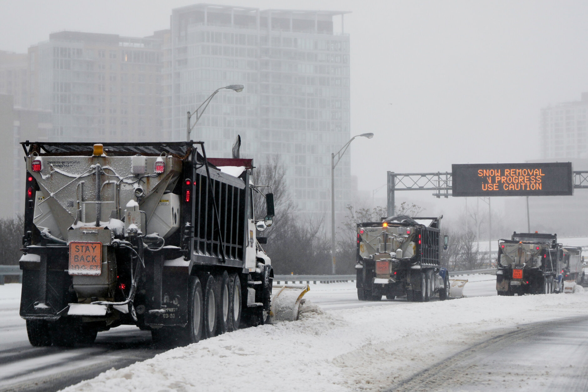
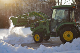
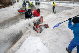
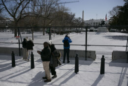
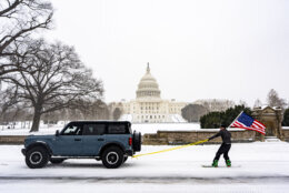
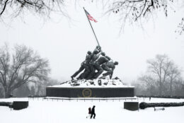
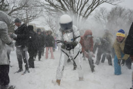
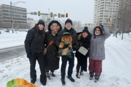
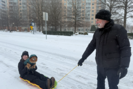
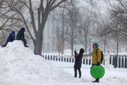
Storm’s impacts across DC region
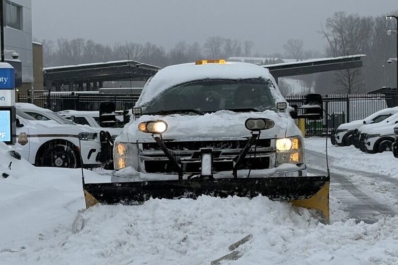
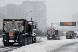
Local leaders from Virginia and Maryland told WTOP those who live on side streets may not see plows come through for a while.
In Maryland, Montgomery County Executive Marc Elrich said once crews do get to side streets, there will be additional challenges.
“They’re going to have a coating of ice on many of the streets by the time we get there. That’s going to make it more difficult, for sure,” he said.


Gov. Abigail Spanberger said Virginia is seeing an increase in emergency room visits due to hypothermia and cold exposure, as well as carbon monoxide exposure.
The latter is “concerning,” as potential outages could lead more people to attempt to use their generators at home to stay warm. And those concerns about frigid temperatures aren’t going anywhere, with bitter cold in the forecast for the rest of January.
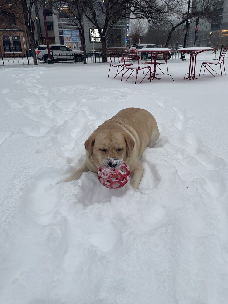
Those same cold risks apply to pets, and veterinarian Sophie Kindberg-Hanlon told WTOP to be mindful of chemicals, such as antifreeze and ice melt, that could be present when taking your pet on walks in the snow.
“They can really hurt feet, and certainly cause gastrointestinal upset if pets lick them off,” she said.
School systems cancel classes Tuesday, some call it early for Wednesday
All D.C.-area school systems will be closed Tuesday, and some schools, such as those in Anne Arundel County and Prince George’s County, will be closed Wednesday too.
Meanwhile, federal offices in the D.C. area will be closed Tuesday and maximum telework is in effect for federal government workers. Those who can’t telework will be granted weather and safety leave.
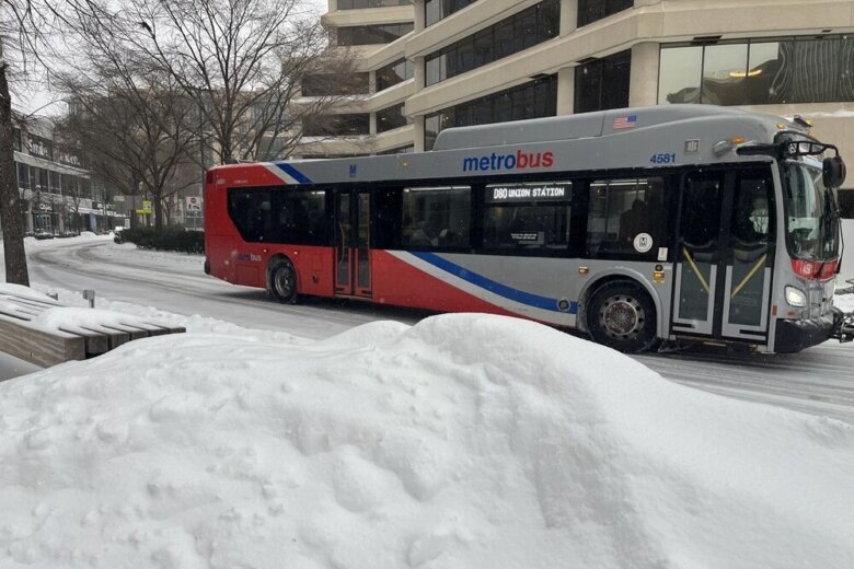
Metro will operate service every 15 to 30 minutes on all train lines Tuesday.
See the full list of closings and delays here.
Forecast
MONDAY NIGHT: COLD ALERT
Mainly Clear
Lows: 5-15
Winds: Northwest 5-10 mph
Bitterly cold air is expected overnight with low temperatures falling into the single digits and teens. Wind chills of 5-8 degrees below zero are possible. Hypothermia is possible if precautions are not taken. Make sure animals have warm, dry shelter and unfrozen water.
TUESDAY:
Mostly Sunny
Highs: 20-25
Winds: Southwest 5-10 mph
The deep freeze continues with afternoon high temperatures about 20 degrees below average. Sunshine will help to aid in some snowmelt, but it will all refreeze again after sunset, so continue to drive and walk with caution.
WEDNESDAY:
Partly Cloudy
Highs: 19-24
Winds: Northwest 5-10 mph
Sunny and cold conditions continue with a chance at overnight snow showers.
Thursday:
Mostly Sunny and Windy
Highs: 19-24; Wind Chills: 0-10
Winds: Northwest 5-15 mph; Gusts: 20-25 mph
A reinforcing shot of Arctic arrives with temperatures remaining well below average and wind chills close to zero under mostly sunny skies.
Current conditions
Get breaking news and daily headlines delivered to your email inbox by signing up here.
© 2026 WTOP. All Rights Reserved. This website is not intended for users located within the European Economic Area.