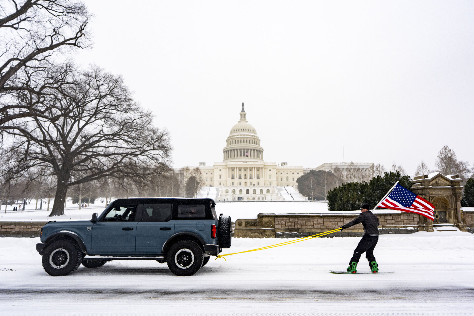
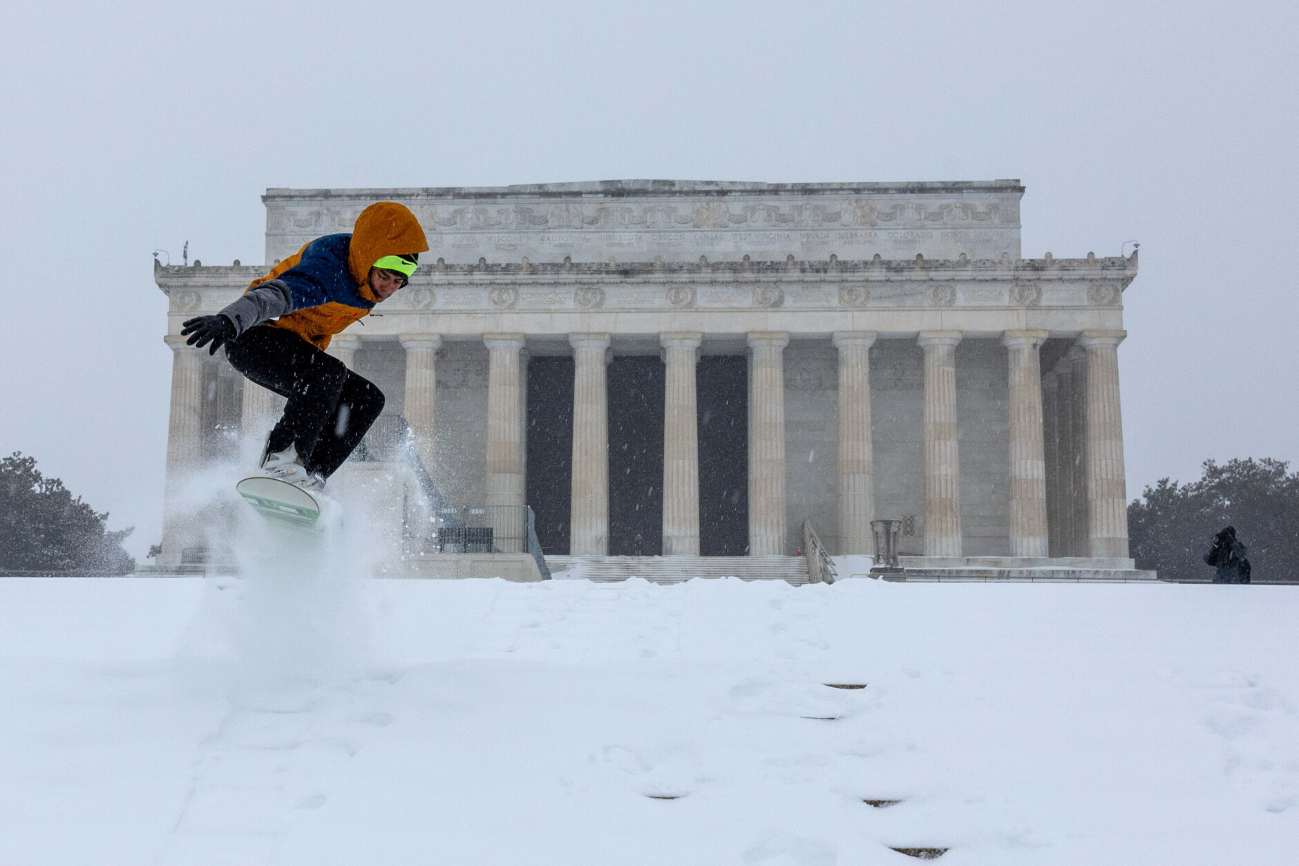
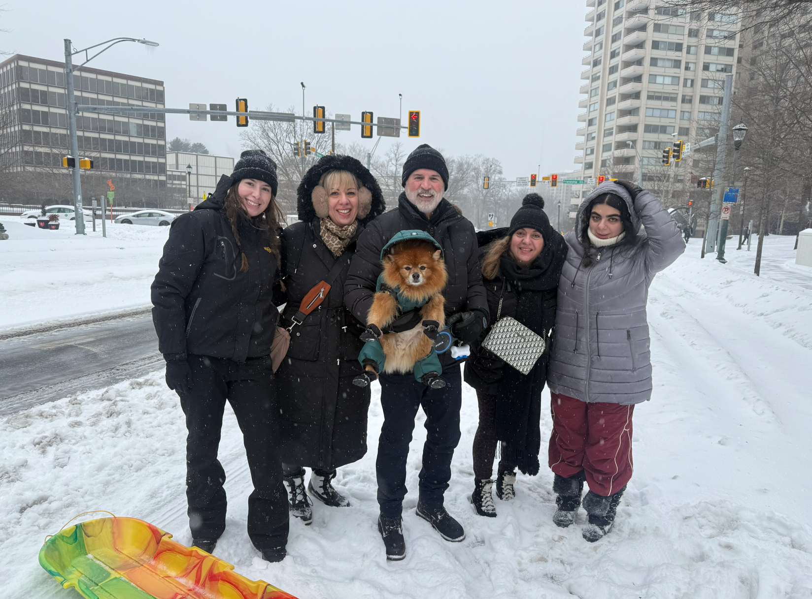
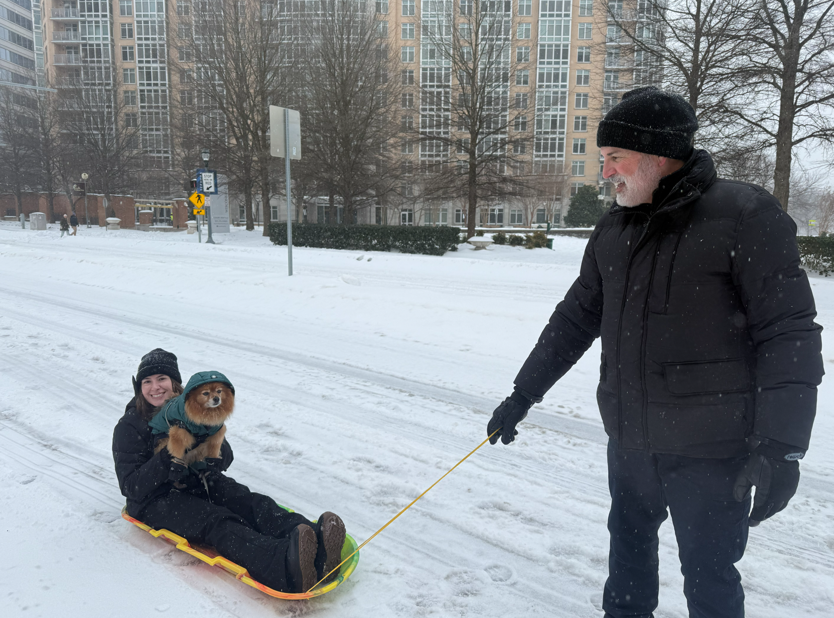
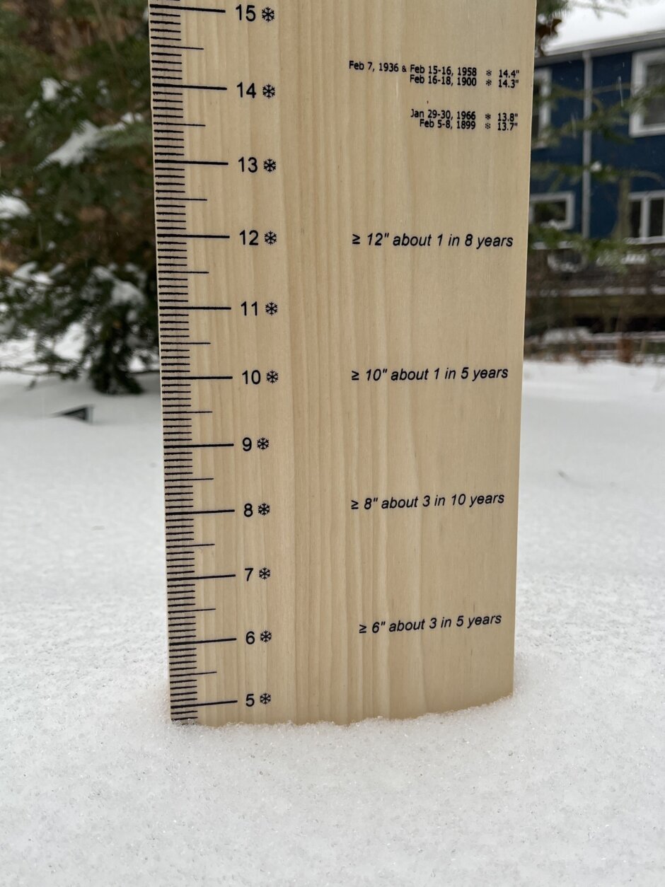
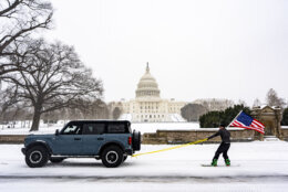
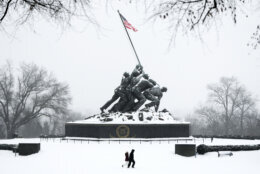
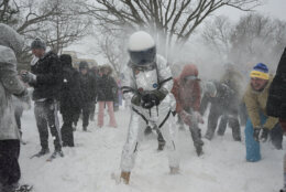
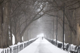
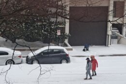
The heavy snow will change into sleet and freezing rain on Sunday in the D.C. region. Snow accumulation will be a little lower than expected with total amounts from 6 to 10 inches.
At noon, temperatures will warm up from the teens to near freezing, which will shift the powdery snow that’s fallen into a mix of snow, sleet and freezing rain, according to Jordan Evans, 7News First Alert Meteorologist.
- Listen to WTOP online and on the radio at 103.5 FM or 107.7 FM.
- Current traffic conditions
- Weather forecast
- Closings and Delays
- Sign up for WTOP email alerts
Get custom alerts with the WTOP app for Apple and Android phones
Evans said freezing rain might create a quarter-inch or less of ice on roadways as well as tree limbs and power lines. Power outages are possible in areas that have more ice accumulation.
North of D.C. should see all snow, not as much sleet and ice. Expect to see anywhere from a foot to 15 inches there, Evans said.
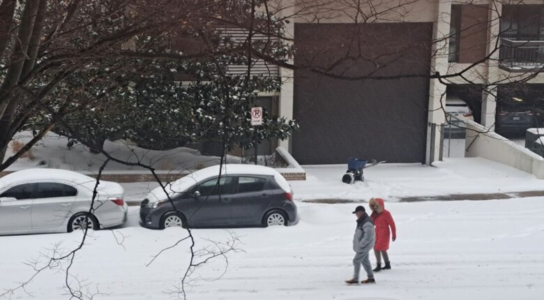
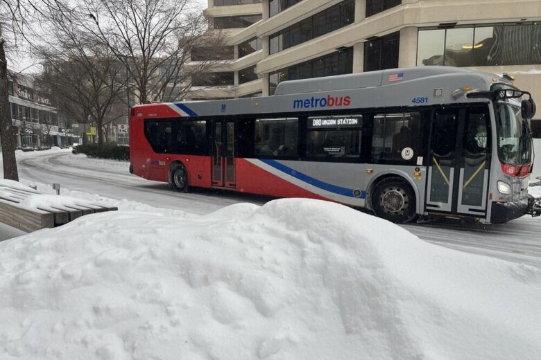
The icy conditions will make roadways extremely slippery and people are advised to stay home on Sunday.
Evans said when all is said and done, the D.C. region will have had an 8 to 10-hour stretch of the winter storm.
Precipitation should be done in the D.C. area by Sunday evening.
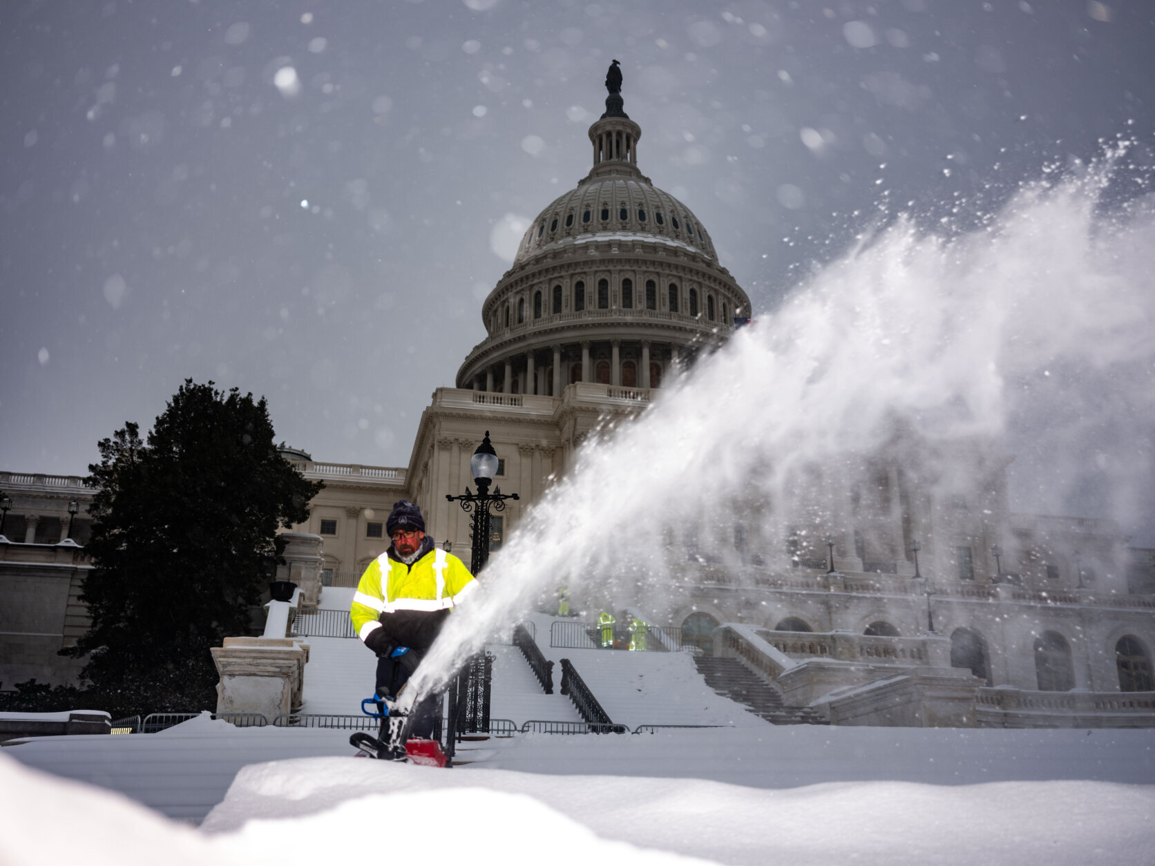
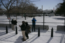
D.C., Maryland and Virginia have declared states of emergencies to better prepare their jurisdictions with state and federal resources.
Maryland Gov. Wes Moore told WTOP on Friday that the storm will likely reach “every single part of the state of Maryland.”


“There’s nothing I would have loved more after this storm than to have a 50-degree day, because then everything would melt. … That’s not what’s going to happen,” he said.
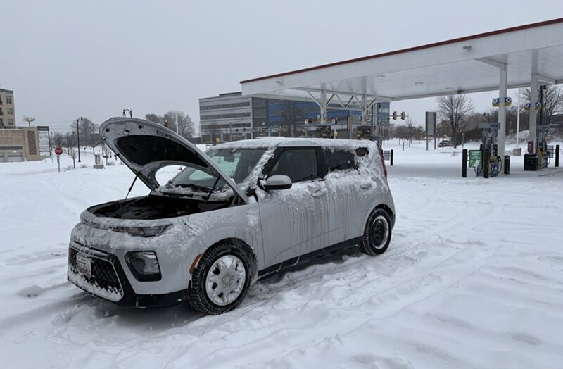
With an Arctic mass moving southeast across North America, extremely cold temperatures will settle throughout the Mid-Atlantic region. Make sure to layer up and keep your gloves handy.
Looking to the big snowstorm
Overnight into Sunday, the National Weather Service said, “Given how cold the air mass is below the warm nose, (there’s) some question as to how much freezing rain there is, versus those droplets refreezing in the cold layer back into sleet.”
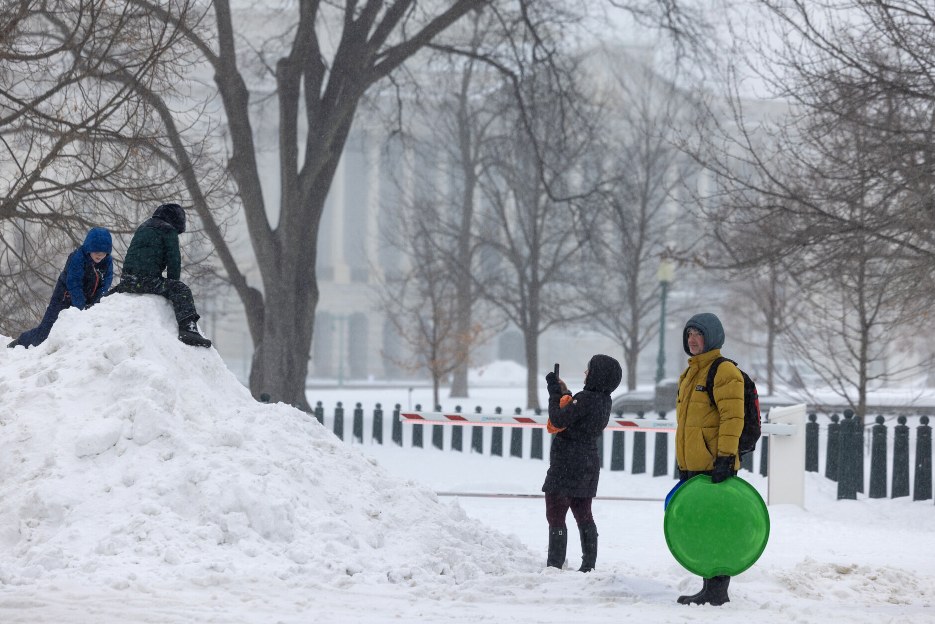
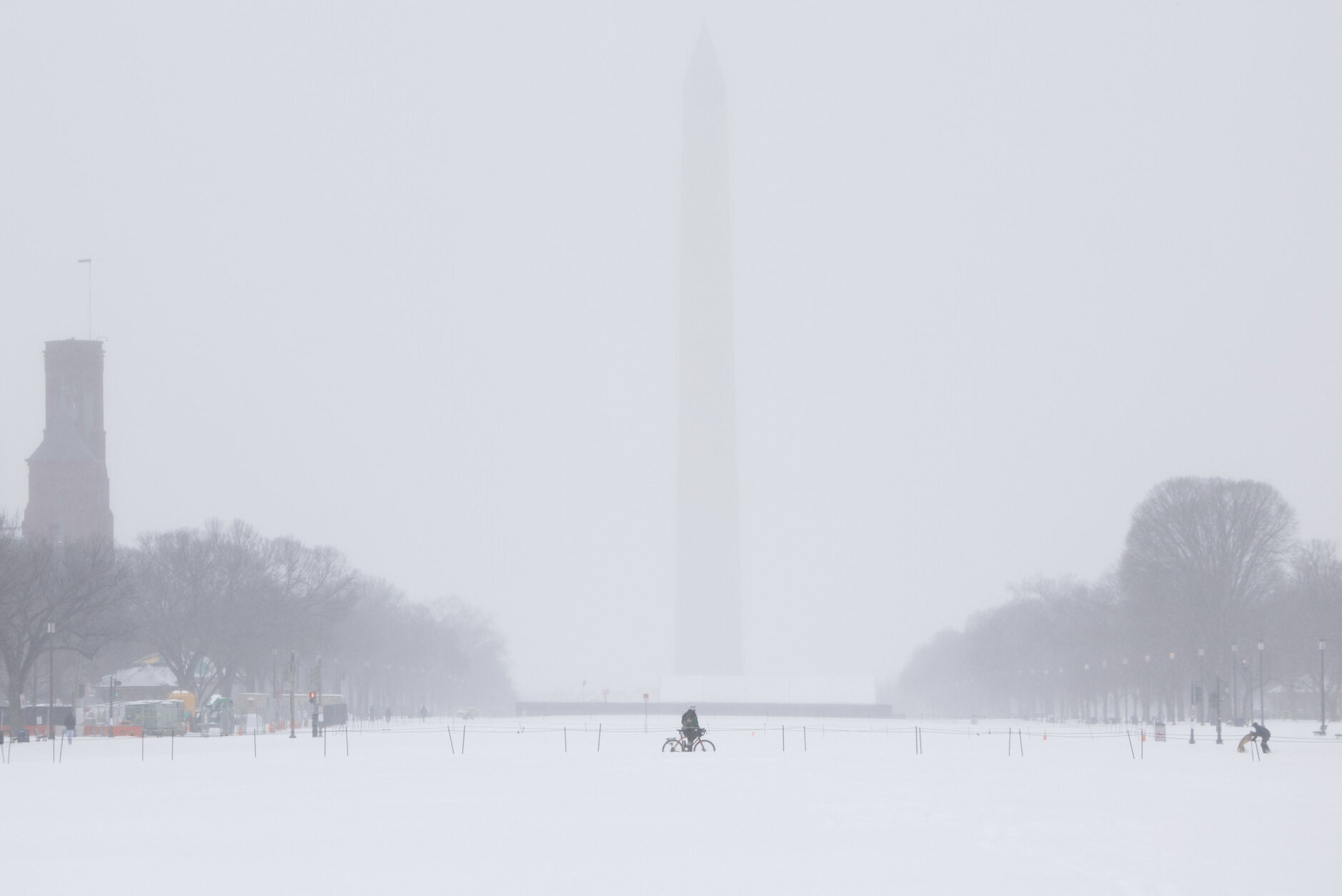
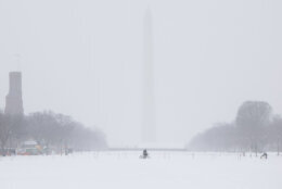
Sunday is when things get hairy — moderate to heavy amounts of snow will start pre-dawn and through the morning. Heavy morning snow and a mix of freezing rain and sleet moves north, making the roads hard to traverse.
This system will be high impact, with potential snowfall totals in the 5 to10 inch range or more for the immediate D.C. metro area. The National Weather Service reports that some areas could see up to 14 inches of snow and sleet accumulations, with ice buildup between one and two tenths of an inch.
Jaw-chattering temperatures in the teens could freeze and compact the snow, making it stick around longer than the D.C. area is used to.
DC, Maryland and Northern Virginia prepare
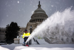
D.C.’s mayor and the governors of Virginia and Maryland have declared states of emergency, which sets several things in motion to clear roads and keep resources flowing.
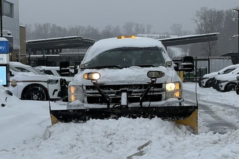
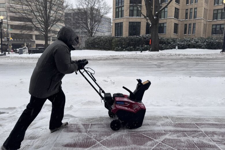
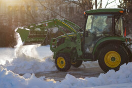
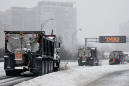
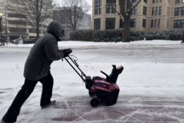
“We’ve already pretreated all of our roads across the region, so we have over 14,000 lane miles pretreated,” Alex Liggett with VDOT Northern Virginia told WTOP. “That kind of helps us for the first few hours of the storm, it reduces that bonding of snow and ice to the pavement.”
Liggitt said the agency is spending Saturday organizing snowplow crews to be ready to go when the precipitation starts. “Right now they’re starting to load up their trucks, kind of staggering in so they’re not overwhelming the yards. And then we’re going to need to be staging all those trucks on the roads across Northern Virginia,” he said.
Once the snow starts, VDOT officials are being explicit to the traveling public: “Do not travel once snow begins,” Liggitt told WTOP. Snow is expected anywhere between 8 p.m. Saturday night and midnight, and he said drivers should say off the roads.
“We’re expecting this to be a multiday response and it’s going to take some time to treat and clear roads in priority order,” he said. It may take a few days for plowing to go through some Northern Virginia neighborhoods, he added.
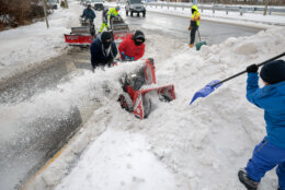
The District has also been preparing its snow truck fleet, and is bringing on additional plows, according to Anthony Crispino, the interim director of the D.C. Department of Public Works. He told WTOP that the city has already identified and salted alleyways and if the alleys are wide enough, the city is preparing to run plows through them.
After the mayor issued a snow declaration on Friday, Crispino warns that residents and visitors need to make sure their cars are not blocking designated snow routes.
“The 24-hour (parking) grace period expires at noon today, so residents and visitors need to make sure that their cars are not on a designated snow route at noon, that’s when enforcement will go into effect,” Crispino told WTOP on Saturday.
A winter storm warning is in effect for most of the region until 4 a.m. Monday. The National Weather Service forecast the frigid temperatures will last through the beginning of next week, with more snow on the horizon for next weekend.
Power outages and dangerous roads are entirely possible, so stay up to date on regional notices and stay indoors as much as possible.
7News First Alert Forecast
SUNDAY: WINTER ALERT: Heavy a.m. snow, followed by p.m. wintry mix. Highs between 24 and 28, with wind chills in the teens.
Winds: Northeast 10-20 mph
MONDAY: COLD ALERT: Mostly sunny. Highs between 24-29m wind chills in the teens.
Winds: Northwest 10-20 mph, with gusts 35-40 mph
TUESDAY: Sunny and cold. Highs between 20 and 25.
Winds: Southwest 5-10 mph
WEDNESDAY: Mostly sunny. Highs between 19 and 24.
Winds: Northwest 5-10 mph
CURRENT CONDITIONS
Get breaking news and daily headlines delivered to your email inbox by signing up here.
© 2026 WTOP. All Rights Reserved. This website is not intended for users located within the European Economic Area.