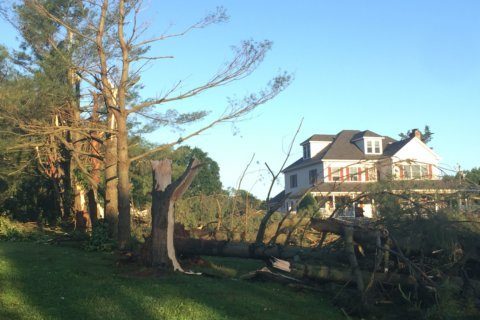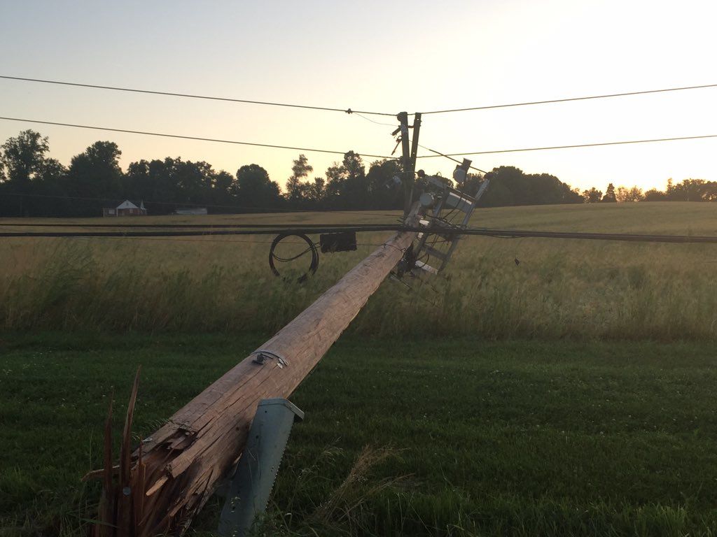
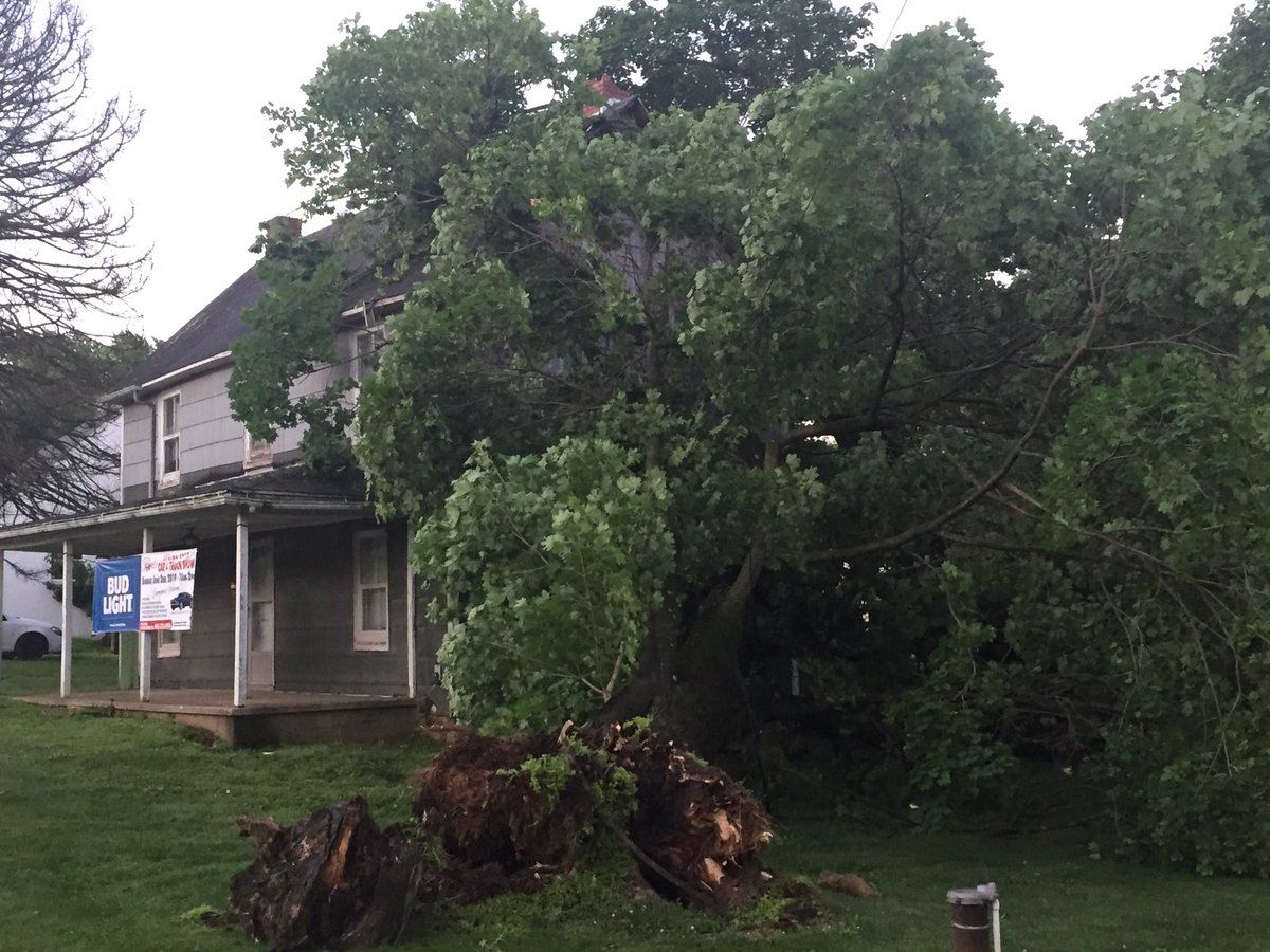
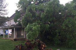
NWS officials will survey damage in Glenelg, where another twister touched down a week ago.
They also will survey whether there was a possible tornado in Ijamsville in Maryland’s Frederick County. A possible tornado has been reported by storm spotters in Virginia’s Spotysylvania County, but it has not been confirmed by the weather service.
One thing that has been determined: Thursday’s thunderstorm was the strongest type of thunderstorm — a super cell, according to NWS meteorologist Andrew Snyder.
If the atmospheric conditions are just right during a super cell, tornadoes are very much possible, explained Snyder.
But although there are witness accounts of damage, which are somewhat helpful for NWS, “In a lot of cases, we don’t know if a tornado occurred or not,” Snyder said.
Investigators ultimately have to relate that information to the Enhanced Fujita scale to determine wind ratings.
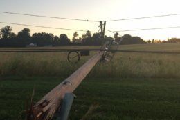
Snyder explained that certain levels of wind cause a certain amount of damage, so those surveying the area will be looking at “what type of trees were broken, how they were broken or toppled and also if there is any structural damage to determine the wind speed of the tornado.”
During the survey, investigators will look for where a potential tornado may have first touched down, where it may have lifted up and the tornado’s possible strength.
Despite Thursday’s rough weather, Snyder noted that there was nothing particularly unique about the storm.
“This is certainly a pattern that we can be in during the late spring and the early summer months,” Snyder said. “There’s a good bit of wind sheer and instability in the atmosphere and those ingredients come together to produce strong to severe thunderstorms.”