The Coast Guard is reviewing a stretch of the Potomac River, and they want public feedback before the comment period ends Monday.
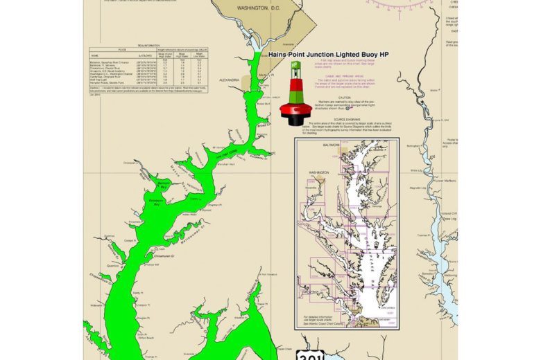
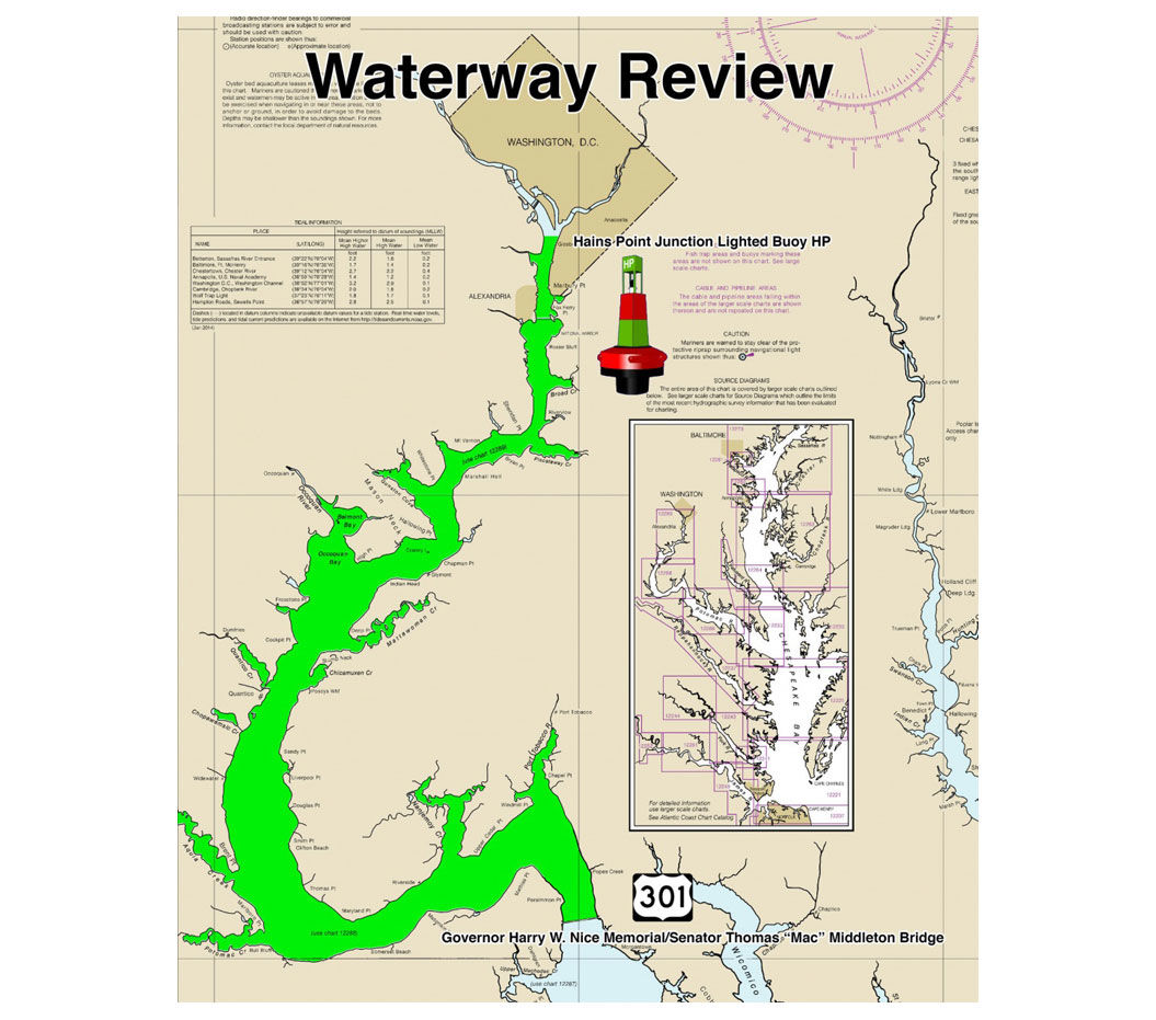
They’re conducting a Waterways Analysis and Management System review of the Upper Potomac River from Hains Point near D.C. to the Harry Nice Bridge.
The review, from April through June, is looking to improve maritime efficiency in the area, the Coast Guard said in a news release Tuesday. It’ll focus on a range of area issues, including businesses, aids to navigation, emergency response plans and future development projects.
People can fill out the user survey and email the filled out form to Sector Maryland-National Capital Region Waterways WAMS at this address.
Or, they can snail mail it to this address: Commander, USCG Sector Maryland-NCR, 2401 Hawkins Point Road Bldg. 70, Baltimore, Maryland, 21226-1791.
Fill out the survey here. Or, view it below.
Coast Guard’s Potomac River survey by wtopweb on Scribd
Submit finished surveys by Monday, May 20.
WTOP’s Keara Dowd contributed to this report.