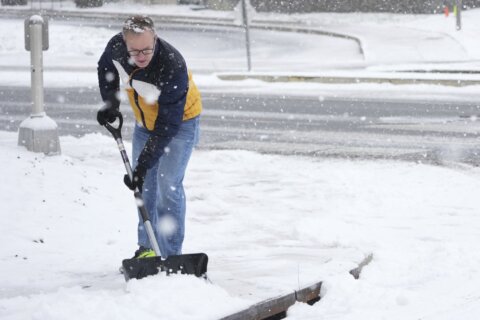
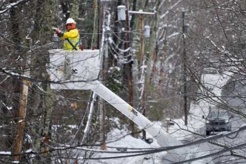
The transition from snow to sleet began earlier than expected Sunday in D.C., but the entire area still saw significant snow accumulation, ranging from 5 inches to nearly a foot.
Sleet continued to accumulate Sunday afternoon on top of the snow that was already on the ground.
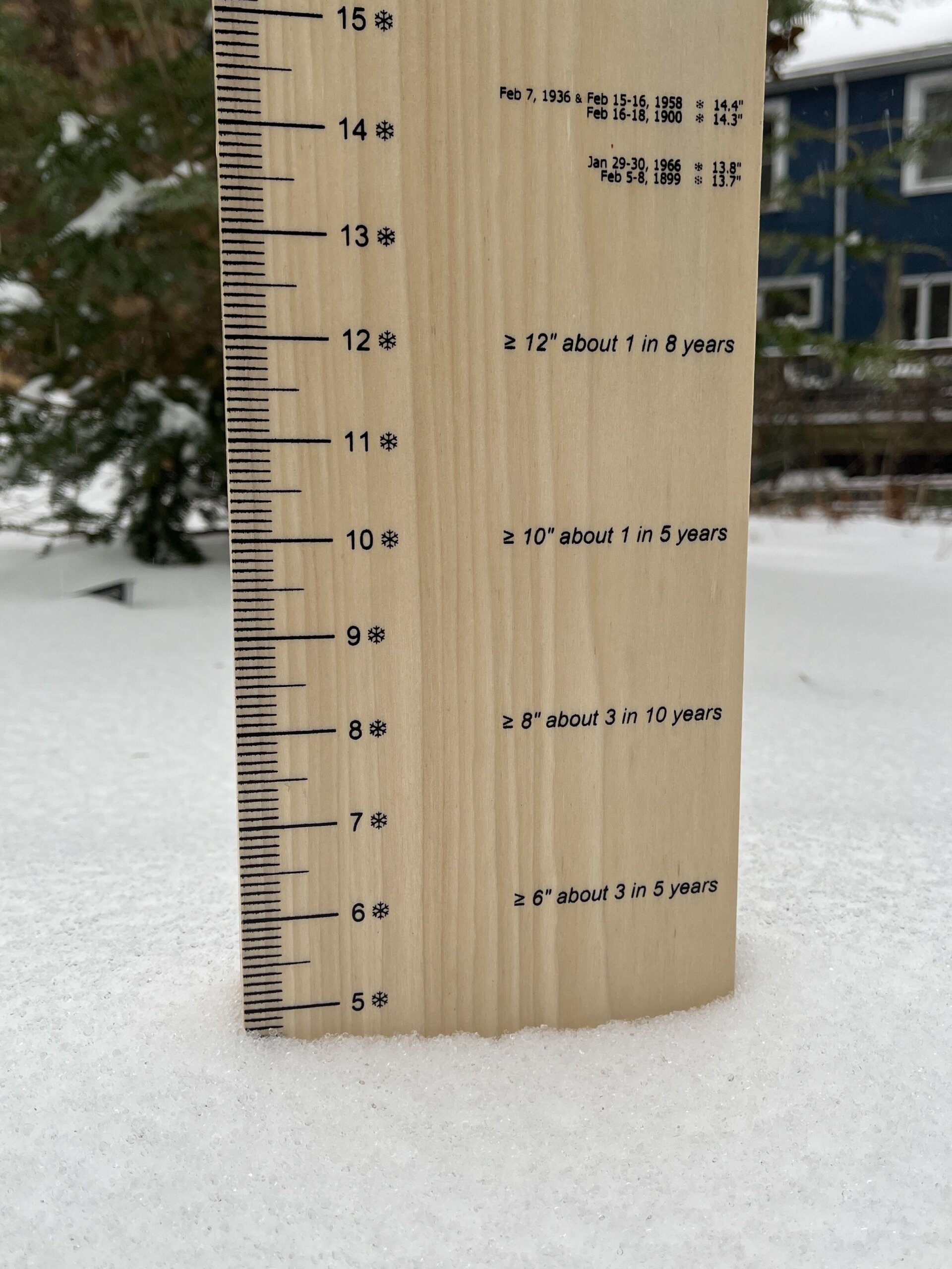
So was your neighborhood in a hot spot? Here are the latest snow total measurements taken by the National Weather Service:
Virginia
- Reagan National Airport, 6.9 inches as of midnight, Monday
- Dulles International Airport, 7.8 inches as of midnight, Monday
- Herndon, 8.2 inches as of 7 p.m., Sunday
- Ashburn, 9.8 inches as of 7 p.m., Sunday
- Falls Church, 8.5 inches inches as of 6:45 p.m., Sunday
- Leesburg, 9.1 inches as of 5:20 p.m., Sunday
- Fairfax, 5.4 inches as of 1 p.m., Sunday
Maryland
- BWI Marshall Airport, 11.3 inches as of midnight, Monday
- Bowie, 7 inches as of 10:30 p.m., Sunday
- Ellicott City, 9.2 inches as of 9 p.m., Sunday
- Clarksville, 11.1 inches as of 8:30 p.m., Sunday
- Gaithersburg, 8.5 inches as of 6:30 p.m., Sunday
- Adamstown, 8.3 inches as of 6:30 p.m., Sunday
- Bloomfield, 10.2 inches as of 5 p.m., Sunday
- Birdsville, 6.4 inches as of 2:15 p.m., Sunday
- Germantown, 7.2 inches as of 1:30 p.m., Sunday
WTOP’s Dave Dildine explained how the weather service measures snowfall totals.
“Official NWS snowfall measurements are taken every six hours at certified observation sites. The snow totals for any day or storm are the sums of those frequent observations. In this way, snow totals differ from snow depth,” Dildine said.
The weather service also shares totals from trained spotters, who measured 7 inches in D.C.’s Anacostia neighborhood at around 12:50 p.m. Sunday.
Trained spotters measured the most snow in Frederick County, Virginia, reporting 11.8 inches in the Cedar Grove area at around 9 p.m. Sunday.
In Carroll County, Maryland, 11.5 inches of accumulation was reported Sunday.
An emergency manager reported to the National Weather Service at 8:30 p.m. that there was 11.8 inches in Clarksburg, Maryland, Sunday.
Sunday afternoon brought the rare instance of prolonged sleet to D.C. Up to three inches of accumulating sleet was possible in spots, but the heavy ice pellets can compact the snow already on the ground, making accumulation look less impressive, WTOP Meteorologist Matt Ritter said.
Dildine added that while sleet is fairly common, extended periods of it are rare. The most noteworthy sleet storm for the D.C. area, Dildine said, happened Valentine’s Day in 2007. By nightfall, between 2 and 4 inches of sleet had accumulated across parts of the region.
Get breaking news and daily headlines delivered to your email inbox by signing up here.
© 2026 WTOP. All Rights Reserved. This website is not intended for users located within the European Economic Area.