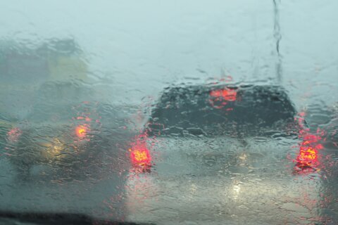
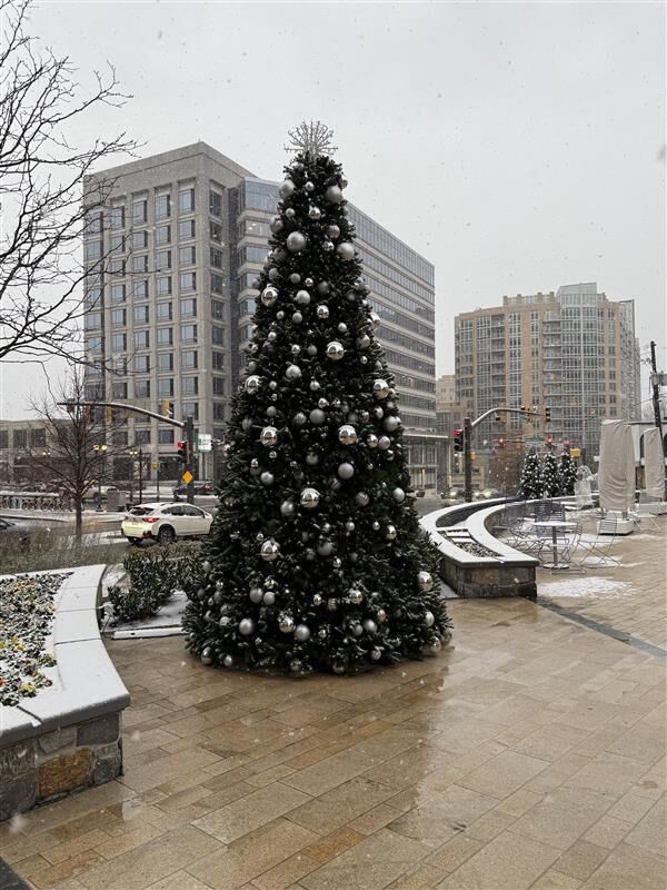
There’s a chance for more wintry weather Friday night, this time in the form of freezing fog and rain, following snowfall that blanketed the D.C. region earlier in the day.
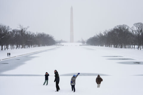
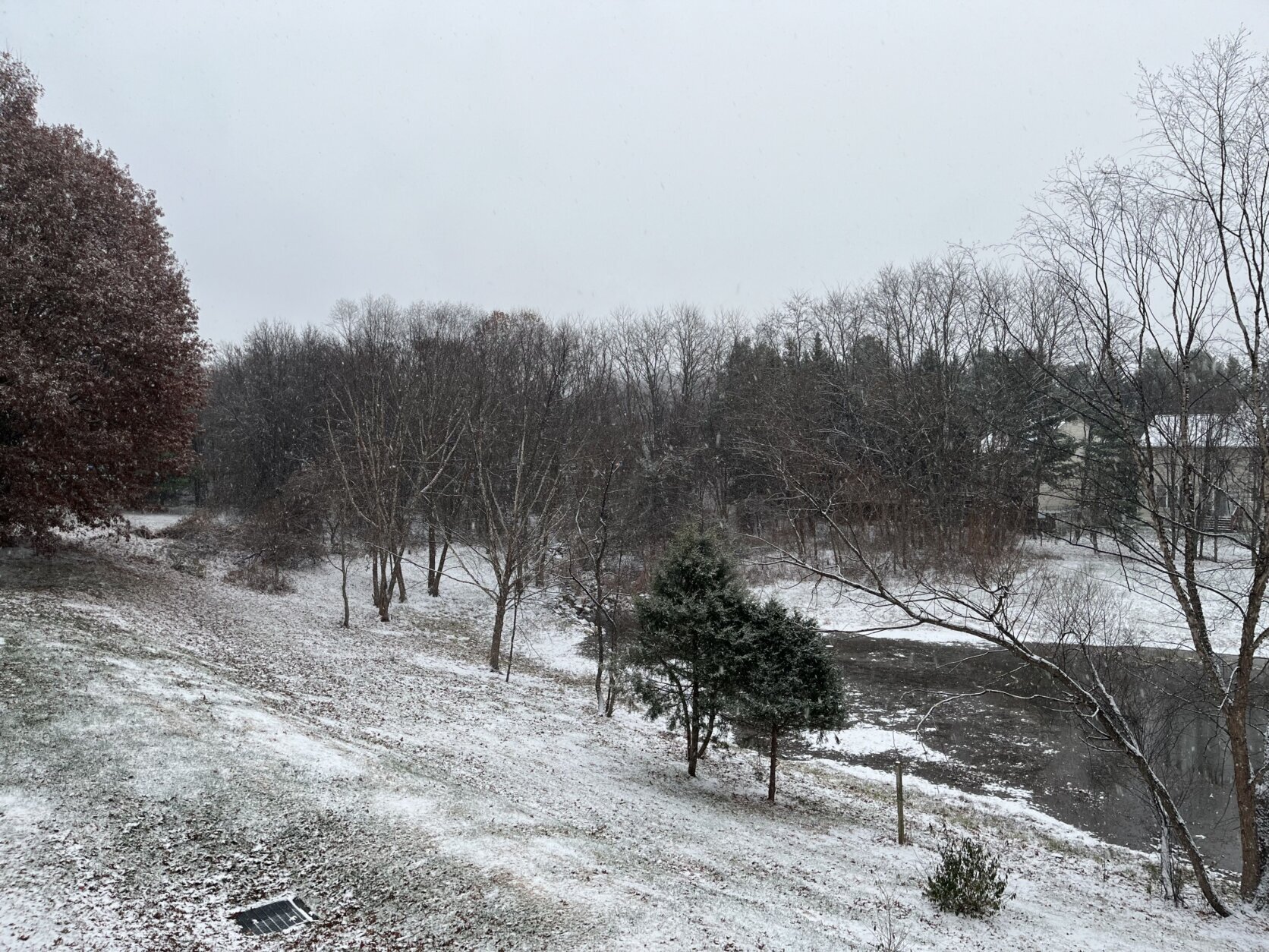
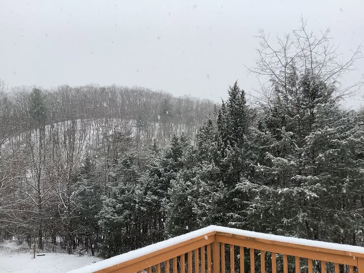
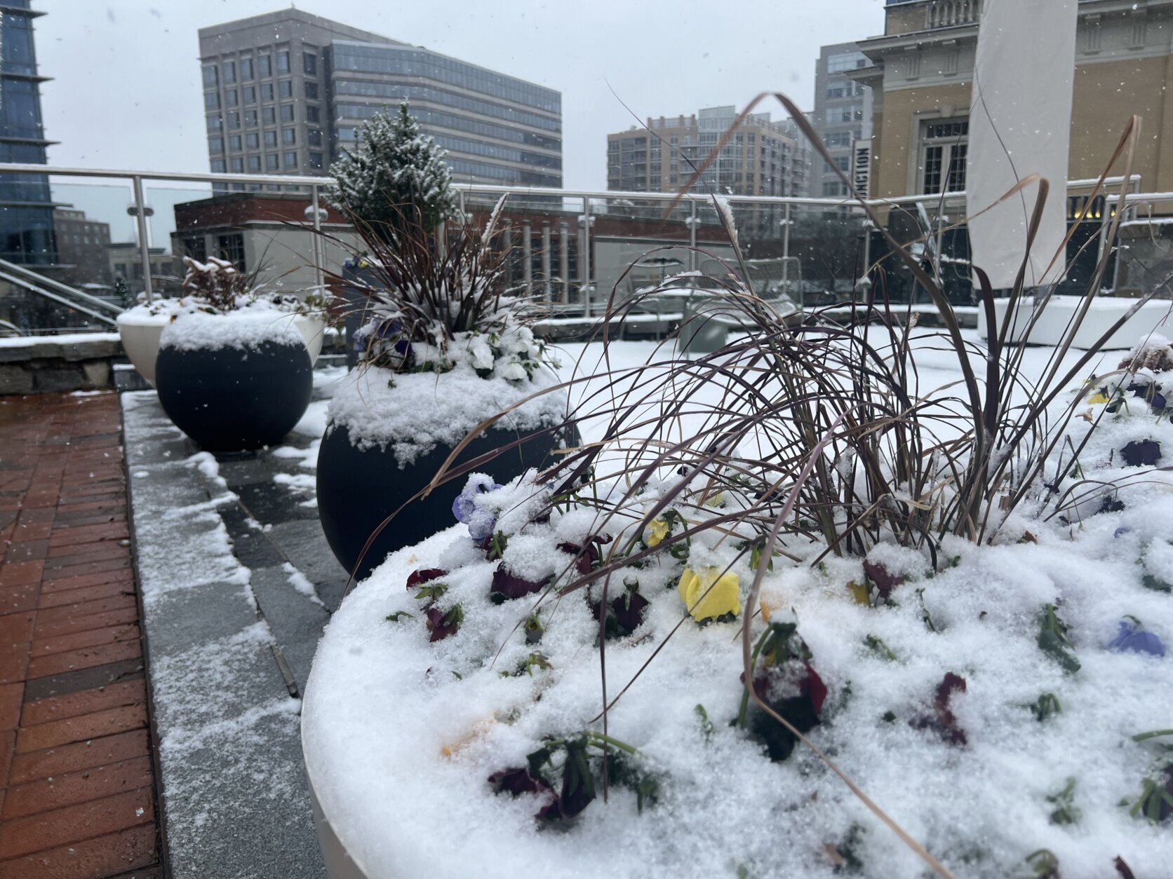
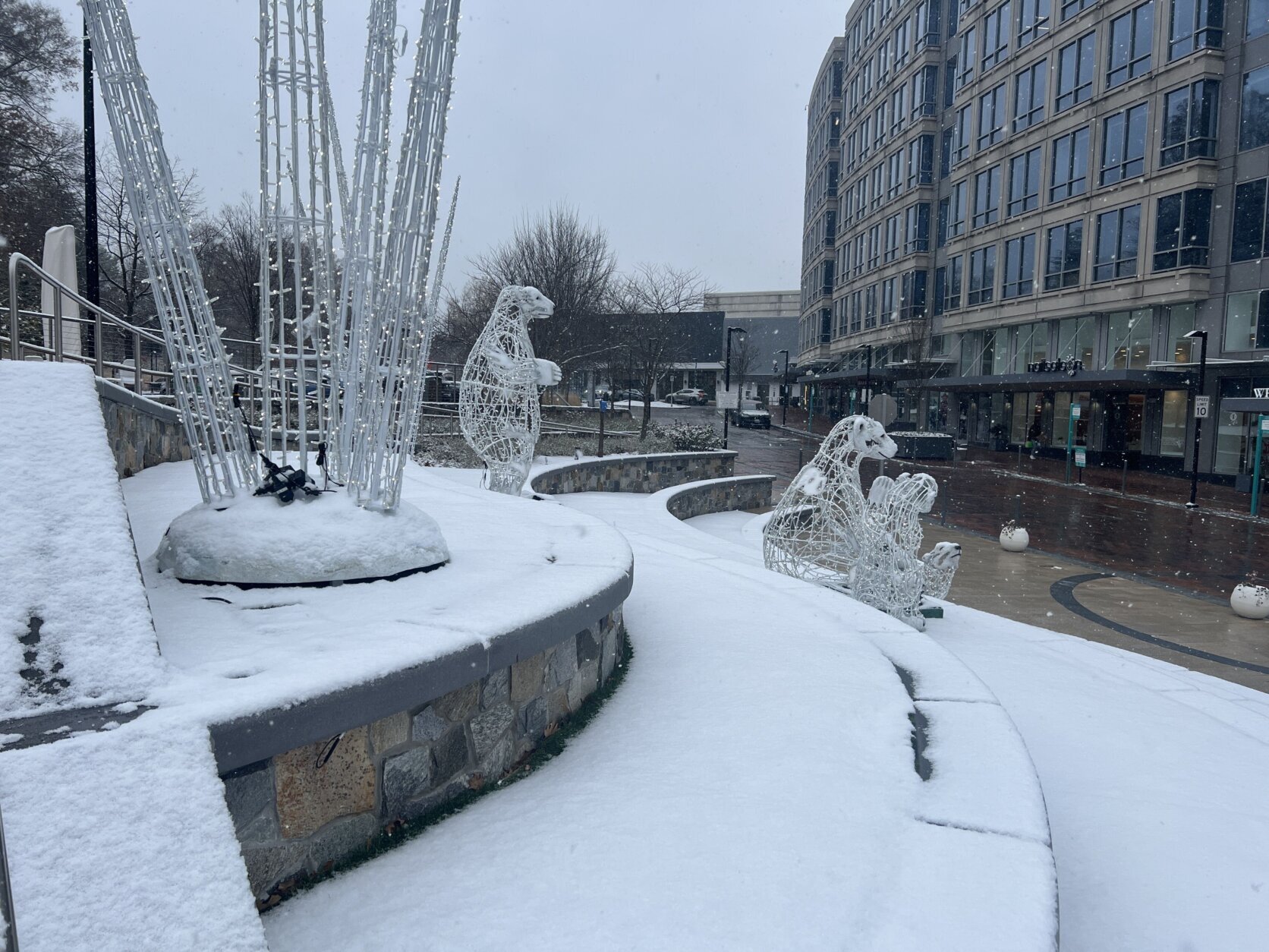
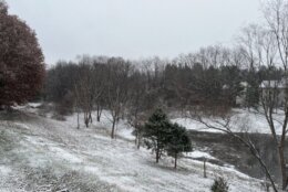
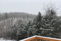
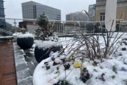
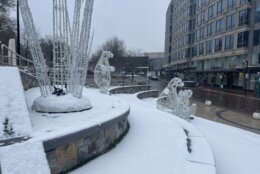
Much of the D.C. region was coated in about 1 to 3 inches of snowfall Friday morning, marking the first time the area has seen measurable snowfall in December since 2017.
Outside the potential for freezing rain, drizzle and fog after dark, wet spots on the roadway from earlier snowfall could refreeze, according to the National Weather Service.
“Newly-issued winter weather advisories are not for additional snowfall tonight, but for the threat of freezing fog and mist overnight, coating the area in a thin layer of ice, leading to some reduced visibilities as well as some slick roadways,” said 7News First Alert Meteorologist Mark Peña.
He warned that driving conditions could be “really treacherous” overnight.
“Thankfully the fog mixes out by the mid-morning hours,” Peña said of Saturday’s forecast.
The National Weather Service has issued a winter weather advisory for the D.C. area beginning at 7 p.m. and continuing overnight until 1 a.m. Saturday.
Temperatures are expected to stay in the 20s, so whatever snow is on the ground should stick around — and possibly refreeze — Saturday.
“Be safe, drive slow and careful,” said Warnique West, a snow coordinator with the D.C. Department of Public Works.
- Listen to WTOP online and on the radio at 103.5 FM or 107.7 FM.
- Current traffic conditions
- Weather forecast
- Closings and Delays
- Sign up for WTOP email alerts
- Get custom alerts with the WTOP app for Apple and Android phones
How much snow actually fell?
A surge of cold air overnight Thursday ushered in the first snow of the season early Friday morning — though winter doesn’t technically start for two more weeks.
Parts of the D.C. region saw as much as 3 inches of snow, while other areas had lower snowfall totals.
Some unofficial snow totals from around the D.C. region, according to the National Weather Service:
- La Plata, Maryland, 3 inches, as of 2:30 p.m.
- Fair Oaks, Virginia, 2 inches, as of 12:49 p.m.
- Culpeper County, Virginia, 2 inches, as of 3 p.m.
- Catholic University in D.C., 1.8 inches, as of 2:14 p.m.
- Rosslyn, Virginia, 1.7 inches, as of 11 a.m.
- Gaithersburg, Maryland, 1.5 inches, as of 11:28 a.m.
- Aspen Hill, Maryland, 1.5 inches, as of 12:45 p.m.
- Upper Marlboro, Maryland, 1.4 inches, as of 2:30 p.m.
- American University in D.C., 1.1 inches, as of 11 a.m.
- Stafford, Virginia, 3 inches, as of 11:55 a.m.
- Reagan National Airport in Virginia, 1.1 inches, as of 10 a.m.
- Dulles International Airport in Virginia, 1.1 inches, as of 10:12 a.m.
- Laurel, Maryland, 1 inch, as of noon
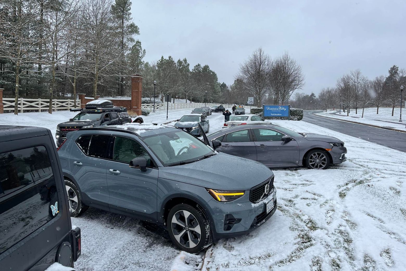
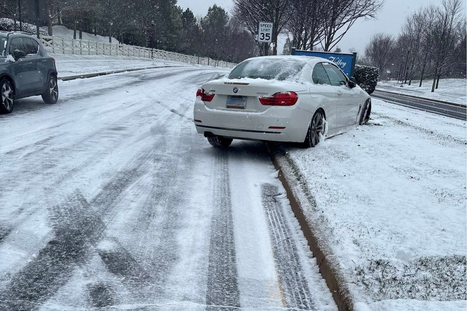
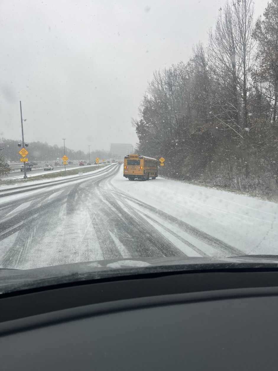
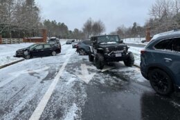
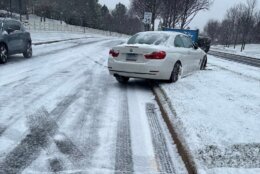
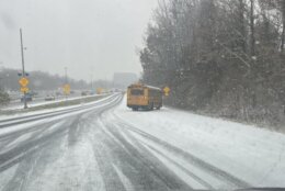
It was enough wintry weather to impact road conditions Friday and prompted many school systems to delay or cancel classes.
The last measurable snowfall in D.C. in the month of December was back in 2017, with 2 inches at Reagan National Airport, according to 7News.


‘Be safe, drive slow and careful’
Ahead of the storm, D.C. Mayor Muriel Bowser activated the District Snow Team, which began salting streets on major roadways Thursday night and continued Friday.
“When you see us, give us space, right? Stay back at least 6 feet,” said West with the D.C. Department of Public Works. “Give the trucks room and time to spread the salt.”
Otherwise, that salt just bounces off your car instead of fully coating the roadway, she said.
West, a snow coordinator with the D.C. Department of Public Works, spoke with WTOP while snow was still falling.
In Maryland, delays were reported Friday morning in both directions of Interstate 270, between Urbana and Rockville, in addition to several crashes, two of which were reported on local roads of the interstate.
“With the snow in the area, you got to keep those speeds down,” WTOP Traffic Reporter Reada Kessler said, adding the conditions of the morning commute were “all over the place.”
In Virginia, where crashes were reported in Fairfax and Prince William counties, officials urged drivers to be cautious as they hit the roads.
Alex Liggitt, communications manager with Virginia’s Department of Transportation, told WTOP Friday morning that despite pretreatment efforts to major roadways ahead of the snowfall, “there are a fair number of roads out there that have become snow covered.”
“We’re still asking folks, if you don’t need to be out there, just limit your time on the roads, if you can at all. Also drive for the conditions,” he said Friday morning. “We notice a lot of people going just way too fast, even over the speed limit. We do not need that.”
In Virginia, drivers who spot icy roads are asked to report the condition through VDOT’s website.
D.C. residents can call 311 to report icy spots that could use salt, West said.
Looking ahead
According to the National Weather Service, the high pressure moving in will keep the weekend dry and seasonably cool.
Liggitt said officials believe roads should resume normal conditions by Saturday.
The sun makes a slight return come Saturday, although the day will be cold as temperatures start in the 20s and hit a high in the low 40s. Light winds are expected across the region.
Another weather maker is expected to arrive Sunday night, bringing with it colder air.
FORECAST
FRIDAY EVENING: WINTER ALERT CONTINUES
Cloudy. Risk freezing drizzle & freezing fog
Temps: 29-35
Winds: Northeast 5 mph
FRIDAY NIGHT: WINTER ALERT
Cloudy & cold. Risk freezing drizzle & freezing fog
Lows: 25-30
Winds: Light
SATURDAY:
Intervals of clouds & sun
Highs: 43-46
Winds: West 5 mph
SUNDAY:
Mostly cloudy
Highs: 42-46
Winds: Southwest 5 mph
CURRENT CONDITIONS
WTOP’s Ciara Wells contributed to this report.
Get breaking news and daily headlines delivered to your email inbox by signing up here.
© 2025 WTOP. All Rights Reserved. This website is not intended for users located within the European Economic Area.