This video is no longer available.
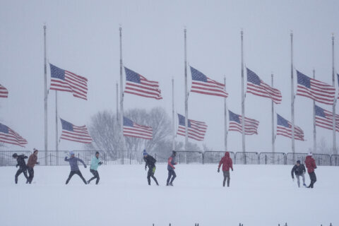
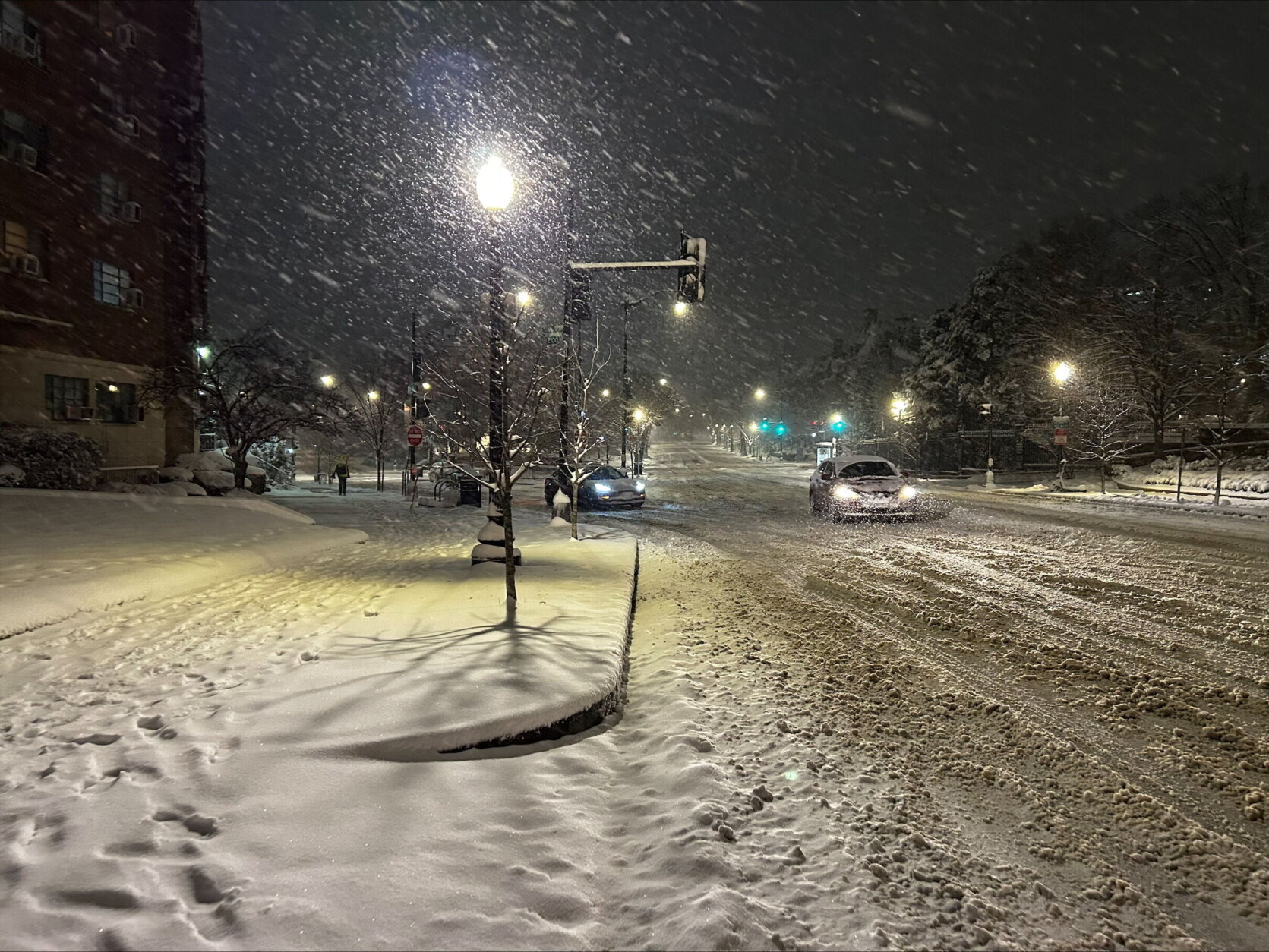
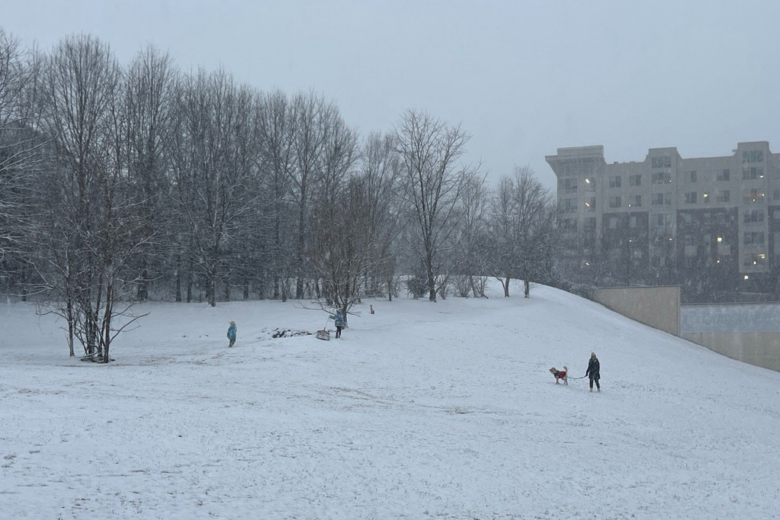
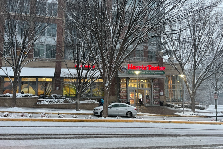
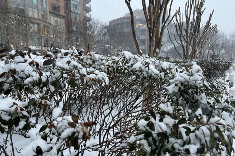
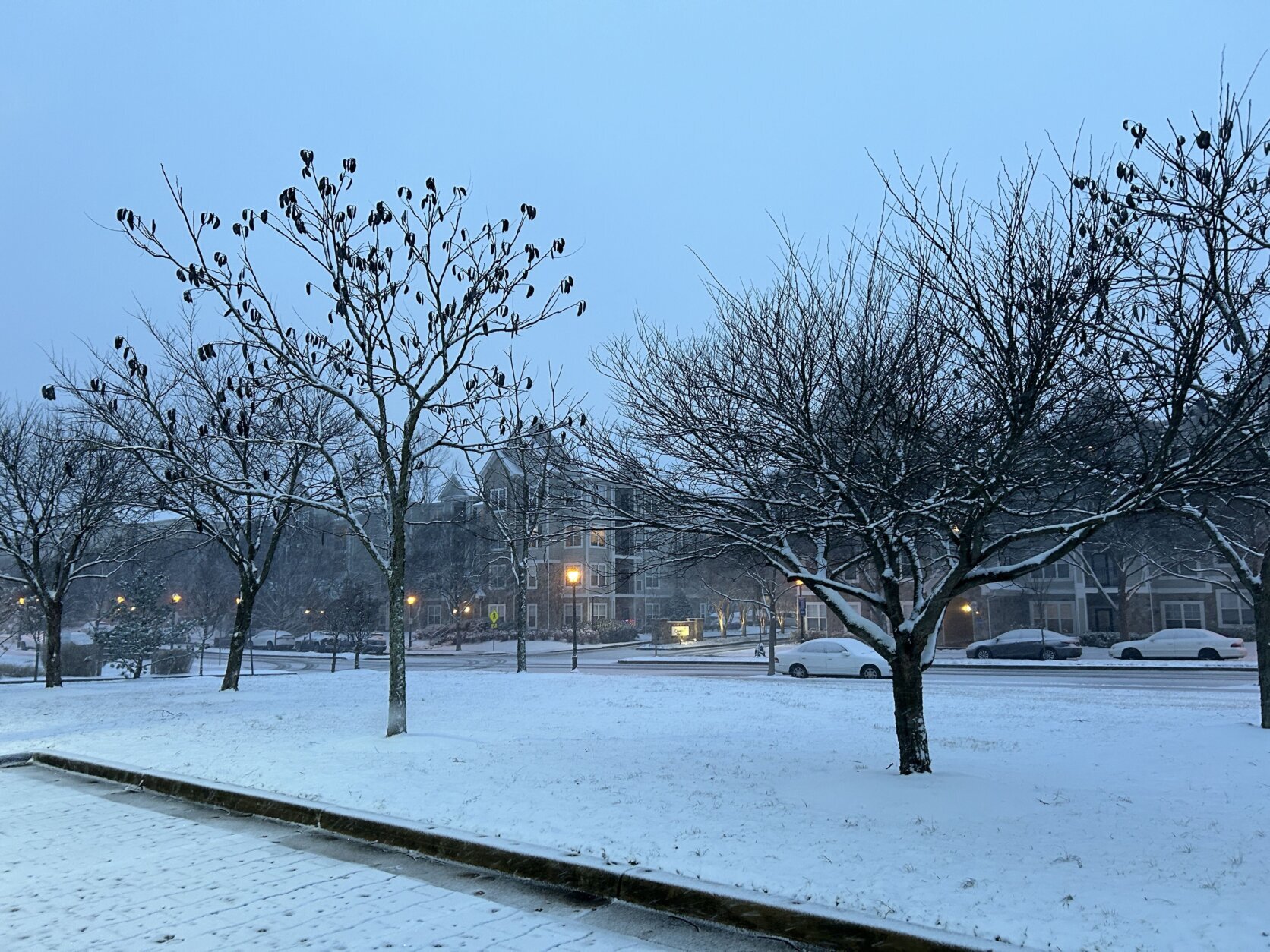
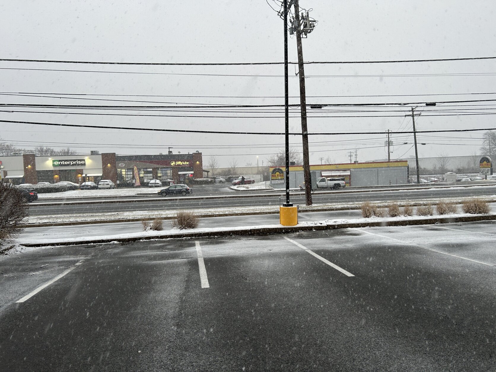
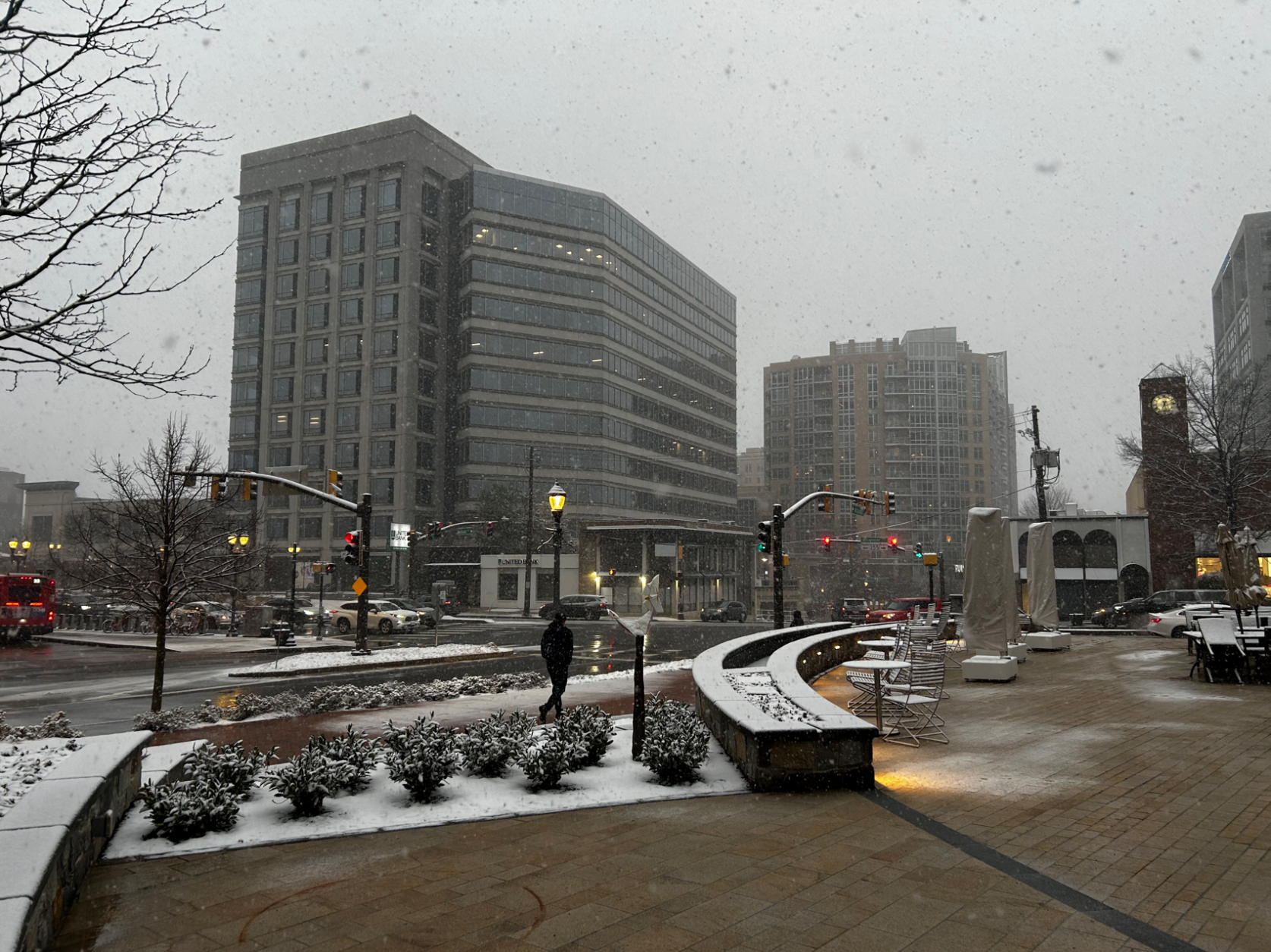
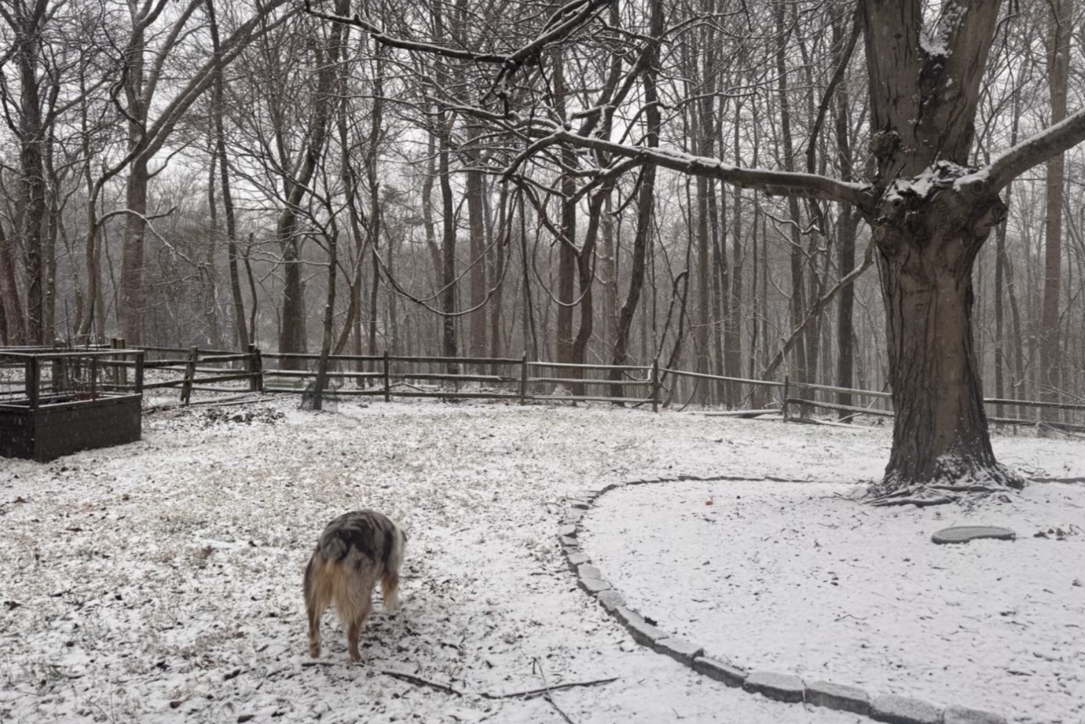
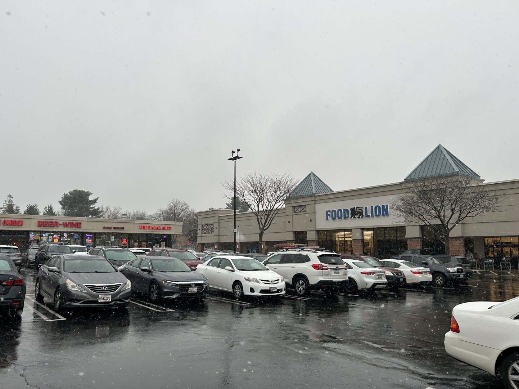
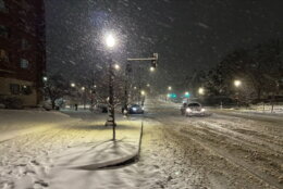
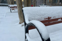
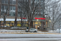
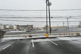
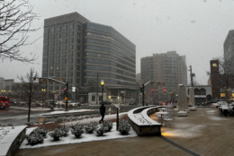
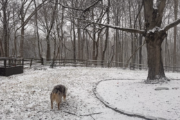
Parts of the D.C. area reached around a half-foot of snow Tuesday night, with flakes still falling at a rapid rate, sticking to roadways and making for treacherous driving conditions during the evening commute and beyond.
Parts of Northern Virginia, including Dumfries, topped 4 inches of accumulation before 6 p.m.
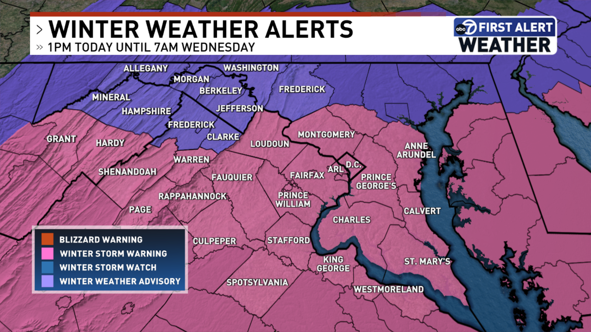
The National Weather Service issued a winter storm warning for most of the D.C. area Tuesday, starting at 1 p.m. and lasting until 7 a.m. Wednesday. By around 2 p.m. Tuesday, flakes were falling in the metro area.
Most of the region can expect between 1 to 2 inches of snow per hour during the peak of the storm, which is between 5 p.m. Tuesday and 2 a.m. Wednesday, according to the weather service.
“The heavy snow will combine with falling temperatures and rapidly stick on all surfaces,” the weather service said in an updated advisory Tuesday afternoon. “If you are traveling, drive slowly and leave plenty of distance between you and the vehicle in front of you. Be prepared for snow covered roads.”
Want to see your snow day pictures featured on WTOP.com and on our social media? Send us your photos or videos using the WTOP News app’s Feedback tool. Download the app for Apple and Android phones.
Snow could accumulate up to 7 inches in areas south of Interstate 66, the weather service said. Temperatures will peak in the mid to upper 30s, with at least 5 mph winds.
Snow totals by neighborhood
The following snow totals were reported by National Weather Service-trained spotters as of between 5:30 and 6:15 p.m.:
- White Oak, Spotsylvania County, Virginia – 4 inches
- Wolf Trap, Virginia – 2.9 inches
- Waldorf, Maryland – 4.5 inches
- Sykesville, Maryland – 1.5 inches
- Centreville, Virginia – 2.9 inches
- Opal, Fauquier County, Virginia – 7 inches
- Dentsville, Charles County, Maryland – 5 inches
- Frostburg, Allegany County, Maryland – 0.8 inches
- Olney, Maryland – 2 inches
Traffic impacts
The ramp to go south on Interstate 95 from the Inner Loop of the Beltway in Springfield, Virginia, was closed briefly Tuesday evening, according to the WTOP Traffic Center.
“There have been several spinouts,” WTOP Traffic Reporter Bob Immler said. “They’re trying to get the salt trucks and plow trucks, they got tow trucks trying to get some vehicles out of there that are stuck on those ramps. But it could take a while.”
In D.C., police posted on X at 6:40 p.m. that the 5700 block of 14th Street NW, from Madison Street to Nicholson Street, was blocked because slippery conditions prompted by the rapid snowfall caused about 10 Metrobuses to get stuck in the area.
Attn: 5700 Block of 14th St (NB) from Madison St to Nicholson St NW is BLOCKED due to the inclement weather conditions (Approx. 10 stuck Metro buses)
Seek an alternate route
* DPW Plow/Salt Trucks are en route *— DC Police Traffic (@DCPoliceTraffic) February 11, 2025
The northern section of the George Washington Memorial Parkway, from Interstate 495 to Spout Run, was closed at midnight in anticipation of snow, the National Park Service said.
It said the closure was “necessary to allow crews time to safely prepare the roadway.” The park service said it will distribute an alert once the parkway has reopened.
Tuesday evening, the Manassas City Police Department posted on Facebook its officers would not be responding to crashes unless there are injuries or “significant traffic hazards,” in order to free officers up to respond to emergencies.
“If you are involved in one of these minor crashes drive off the main roadway to a parking lot or residential street. There you can safely exchange driver, vehicle, and insurance information,” the department said in its post.
As of 9 p.m. on Tuesday, the Virginia State Police said the service had recorded 700 car crashes statewide, including 70 that involved injuries. The agency’s Fairfax division accounted for 43 of the reported collisions. No deaths were reported.
- Listen to WTOP online and on the radio at 103.5 FM or 107.7 FM.
- Current traffic conditions
- Weather forecast
- Closings and Delays
- Sign up for WTOP email alerts
- Get custom alerts with the WTOP app for Apple and Android phones
School closures and delays
Several school systems in Virginia including those in Fairfax and Loudoun counties, canceled classes for Wednesday as snow began accumulating late Tuesday afternoon. Montgomery and Charles counties in Maryland and a slew of other D.C.-area school systems also closed schools Wednesday.


More school systems are expected to announce changes for Wednesday. Visit WTOP’s Closings and Delays page for the latest on school closings as they’re announced.
Earlier, a slew of school systems announced early dismissals Tuesday, including Fairfax County Public Schools and Arlington Public Schools in Virginia and Prince George’s County Public Schools in Maryland. Some school districts farther south, such as Fredericksburg City Public Schools in Virginia, canceled classes Tuesday.
Several school systems also canceled events scheduled for Tuesday night and moved school board meetings.
Preparing for the storm
Virginia Gov. Glenn Youngkin issued a state of emergency, calling on Virginians to “prepare for possible impacts to roadways and infrastructure beginning overnight Monday throughout Tuesday.”
On Monday, Virginia’s Department of Transportation began prepping roads with brine, which reduces the bond of the snow or ice to the pavement for the first few hours of the storm, VDOT spokesman Alex Liggitt told WTOP.
VDOT, which maintains the state’s roads during storms, has about 2,700 pieces of equipment at its disposal around Northern Virginia to help treat the roads, Liggitt said.
He said the state agency is asking people to stay home if possible and treat the sidewalks around their homes, adding that the fewer people on the road there are, the more work VDOT can accomplish.
“We’re certain that there are going to be a fair amount of delays and such on Wednesday morning as well,” Liggitt said.
The District’s snow team has been initiated, a deployment that includes more than 200 snow plows to treat major roadways and neighborhood streets.
In addition to the snow team, D.C. Mayor Muriel Bowser’s office declared a Snow Emergency for 6:30 p.m. Tuesday “through at least the end of the day on Wednesday.” This means motorists parked on snow emergency routes face being towed.
Director of D.C.’s Department of Public Works Timothy Spriggs told WTOP crews began treating roads with brine Sunday. Once snow accumulation reaches about 1.5 inches, at least 200 trucks with plows will hit the road to clear city streets, he said.
“Stay away. Give my vehicles time to maneuver. Give yourself time to maneuver,” Spriggs said. “We need space. We need time to do the roads.”
He said every street that needs to be cleared will be, but reminded residents to allow crews time and space to do so.

“Patience is a big thing, but a lot of residents don’t have patience,” Spriggs said. “Understand our priority is to go from the major arteries into the residential areas.”
Additional services will be provided to vulnerable D.C. residents, such as the homeless and elderly communities or pets left outside. Transportation to the city’s shelters is available by calling 202-399-7093 or by dialing 311.
Looking ahead
Snow will rapidly draw to a close early Wednesday. 7News First Alert Senior Meteorologist Brian van de Graaff said about a 12-hour lull is anticipated before another round of potentially disruptive weather arrives.
He said to plan for a wintry mix, with freezing rain and sleet by evening before transitioning to all rain during the overnight. Additional weather alerts are likely to be issued.
Lingering showers will draw to a close early Thursday, as skies begin to clear. Temperatures will reach the 40s.
WTOP’s Neal Augenstein and Matt Small contributed to this report.
7News First Alert Forecast
TUESDAY NIGHT: WINTER STORM WARNING continues. Moderate to heavy snowfall
Lows: 28-32
Winds: Northeast 5-10
WEDNESDAY: Snow ends by midmorning, with a late afternoon and evening wintry mix switching to rain
Highs: 35-40
Winds: East 5-10 mph
THURSDAY: Lingering showers end, clearing
Highs: 43-48
Winds: Southwest 5-10 mph
Lingering showers will draw to a close early in the day and skies will begin to clear. Temperatures will reach the 40s with a southwesterly wind.
FRIDAY: Mostly sunny
Highs: Near 40
Winds: Northwest 5-10 mph
What is left of any snow from earlier in the week will continue to melt was temperature reach 40 degrees.
Get breaking news and daily headlines delivered to your email inbox by signing up here.
© 2025 WTOP. All Rights Reserved. This website is not intended for users located within the European Economic Area.