
Key points:
- Temps below freezing early Monday morning with wet roads overnight. There will be a refreeze on untreated roads and surfaces.
- Scattered power outages are possible.
- A bitter cold blast Monday and Tuesday.
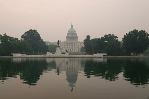
The risk of dangerous driving conditions will continue Monday morning — after freezing rain coated parts of the D.C. region Sunday — with the potential for wet roads to refreeze overnight.
- Listen to WTOP online and on the radio at 103.5 FM or 107.7 FM.
- Current traffic conditions
- Weather forecast
- Closings and Delays
- Sign up for WTOP alerts
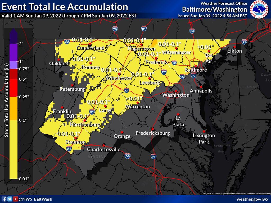
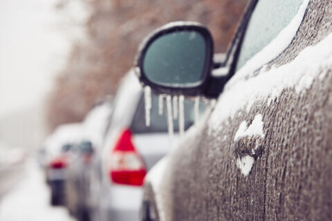
The last drops of rain moved out of the D.C. metro area around 9 p.m. Sunday and temperatures will fall into the low to mid 20s along the I-95 corridor, going below 20 degrees in the northern and wester suburbs.
Areas not pretreated will refreeze.
The National Weather Service is also warning of strong winds overnight, making conditions even more dangerous. NWS issued a gale warning for parts of the Chesapeake Bay, the Tidal Potomac River and the Tangier Sound. The service said gale force winds are possible overnight in certain areas. A gale watch is in effect Monday night into Tuesday morning.
NWS also issued a wind advisory across the Central and Northern Virginia Blue Ridge Mountains and another advisory for Western Maryland.
The second week of 2022 will start with a taste of arctic air. It will sweep across the entire region through the day Monday. The strong, northwest winds will bring gusts of 25 to 30 miles per hour and will drive temperatures well below average — into the teens in the Washington Capitol Region, and into the single digits in the northern and Western suburbs.
Wind chills Monday and Tuesday night will reach the single digits inside the Beltway and well be below zero further north and west.
It’s possible a Wind Chill Advisory will be issued for Monday and Tuesday Night.
Temperatures will slowly modify to seasonal norms by midweek.
For the latest road and traffic conditions, see WTOP’s traffic page or listen to updates every 10 minutes online or on the air at 103.5 FM. Download the free WTOP News app for Android and Apple phones to sign up for custom traffic and weather alerts.
Forecast:
Sunday night: Chilly evening. Lows: Teens north and west. Low to mid-20s along the I-95 corridor.
Monday: Mostly sunny. Windy, turning much colder. Wind: Northwest 15-25 mph with higher gusts. Highs: Low-30s in D.C. Mid-20s far northern and Western suburbs. Wind Chills: 20s in D.C.
Monday night: Bitter cold. Wind: NW 10-15 mph. Lows: Teens in D.C. Single digits to near zero far north North and West suburbs. Wind Chills: Single digits in D.C. North of the metro area will range from 5 to 10 below zero.
Tuesday: Cold. Breezy. Wind: Northwest 5-15 mph. Highs: mid to upper 20s. Lows: 10s — near 20s. Wind chills: Teens.
Wednesday: Sunshine and not as cold. Wind: Northwest 5-15 mph. Highs: mid- to near 40s. Lows: low to mid-20s. Wind chills: Teens.