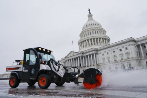
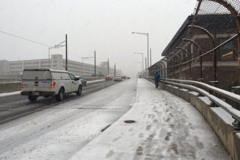
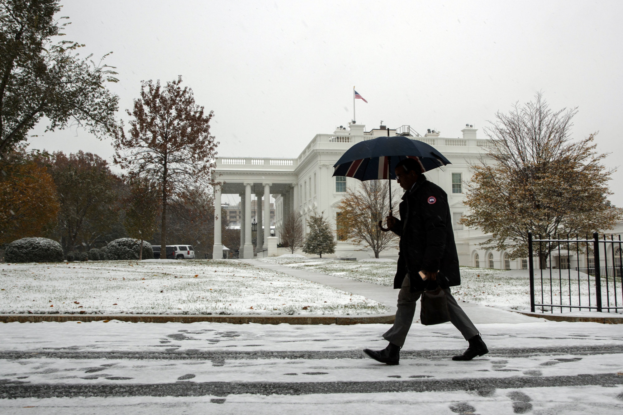
WASHINGTON — After the region got blindsided by the “little” November snowstorm that could on Thursday, you may be wondering if it’s a sign for a frosty winter ahead. Lucky for us, Storm Team4 meteorologist Chuck Bell dove into the role of investigative weather historian to see if there’s anything previous November snowfalls can tell us about the winter to come.
According to Bell, the last time a comparable November snowstorm hit the region was Nov. 22 and 23, 1989. During that storm, the region saw an average snowfall of 3.5 inches.
So what was the following winter like? A bit of a mixed bag.
“It was front loaded with real cold and a decent amount of snow,” Bell said. “December of 1989 ended up being the second coldest December on record around here — 12 degrees below average. Twenty-seven of 31 days that month were colder than average and (there was) triple the average snowfall.”
But just as quickly as that brutal weather charged into the area, it made its retreat. January and February of 1990 were both warmer than average and almost entirely devoid of snow.
Bell stressed that this is just a historical look at a year with similarly early snowfall and does not represent a scientific forecast.
Though if history repeats itself this winter, the DMV could be doing more than just dreaming of a white Christmas.