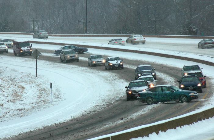
WASHINGTON — A blustery weekend marked the start of March, and even with winter’s end in sight, the weather pattern is morphing into a stormy state.
Heralded by wind gusts over 70 mph on Friday, the air currents that guide ocean-bound weather systems across the continent are shifting into an alignment that favors coastal storms at the end of a winter that so far has brought little more than 3 inches of snow to the D.C. region.
“The last week of December and first week of January were extremely cold and other than that, it’s been pretty mild. But it is shaping up to be more active here the first half of March, so we’ll have to keep our eyes open,” said Chris Strong with the National Weather Service in Sterling, Virginia.
Similar to last year, snowfall totals are well below average for meteorological winter, which runs from Dec. 1 to the end of February. The winter storm that made the most impact in the region in 2017 arrived in early March, when the region was pasted in 2 to 6 inches of snow and sleet.
Given the recent shift in semi-permanent high and low pressure areas over Iceland and the Atlantic Ocean, forecasters like Strong believe this season has the potential to follow suit.
“The first half of March continues to look active. The big windstorm that we had late last week was the opening salvo of that. We’re tracking a number of storms this week into next — decent sized storms with some coastal development,” Strong said.
By March, a higher sun angle and the seasonal retreat of polar air into Canada lessens the odds for snow in the mid-Atlantic, while adding to the complexity of weather prediction. Forecasters expect a weather disturbance to bring a mix of rain and wet snow to parts of the D.C. area midweek, but it’s the storm due to arrive by Monday next week that is raising some eyebrows.
“We’ll have to wait and see. Nothing looks certain at this point, but it definitely looks active and it’s something we’ll have to watch very closely,” Strong said.
D.C. averages 1.3 inches of snow for the month of March.
Should a nor’easter form early next week, it would be swirling up the East Coast on the 25th anniversary of the Blizzard of 1993, one of the most dramatic winter storms of the last century.
It was described by various media outlets as having “the heart of a blizzard with the soul of a hurricane” as it thundered up the eastern seaboard, setting all-time low-pressure, low-temperature and snowfall records from Florida to New England. Near D.C., winds gusted over 40 mph as lightning flickered in the sky.
By the following morning, the 1993 superstorm had produced 13.9 inches of snow at Dulles International Airport. Although heavy snow changed to rain for a time near the District, a 6.5-inch accumulation was measured by March 14 at what was then called National Airport.


