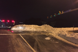
@wtop @WTOPtraffic @drgridlock Parking lot in Arlington this morning. Very icy! pic.twitter.com/La8EhH62yC
— Jane Porter (@JanePorter2008) January 28, 2016
WASHINGTON — The Thursday-morning commute is seeing a rash of spinouts and other accidents as the snow that melted on Wednesday and ran into the roadways re-froze overnight.
Temperatures are expected to rise to near 40 degrees Thursday, but not until around lunchtime, so ice will persist through much of the morning. And despite the warmer temperatures and (presumably) melting ice, the afternoon rush looks like another nightmare of crowded roads and poor visibility.
Storm Team 4 meteorologist Lauryn Ricketts says temperatures won’t rise above freezing until at least 10:30 a.m., later in some areas.
“We do have more accidents than we normally would at this time of morning,” says Reada Kessler, in the WTOP Traffic Center. “We definitely have a lot of slick spots on the roadway. You aren’t going to see it until you come up on it, and that’s causing people to spin off the road.”
Conditions, she says, are particularly icy on ramps, as well as bridges and overpasses.
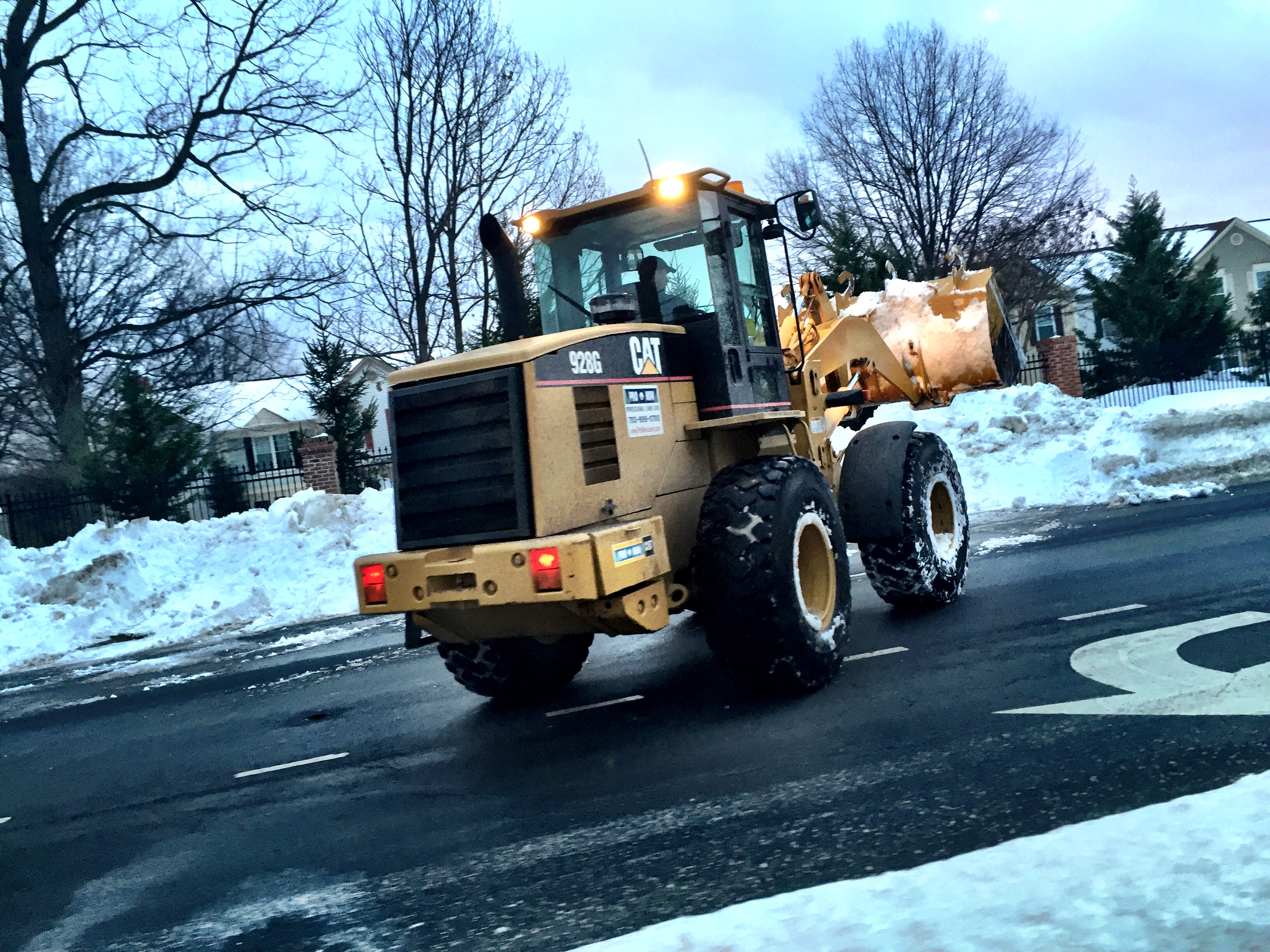
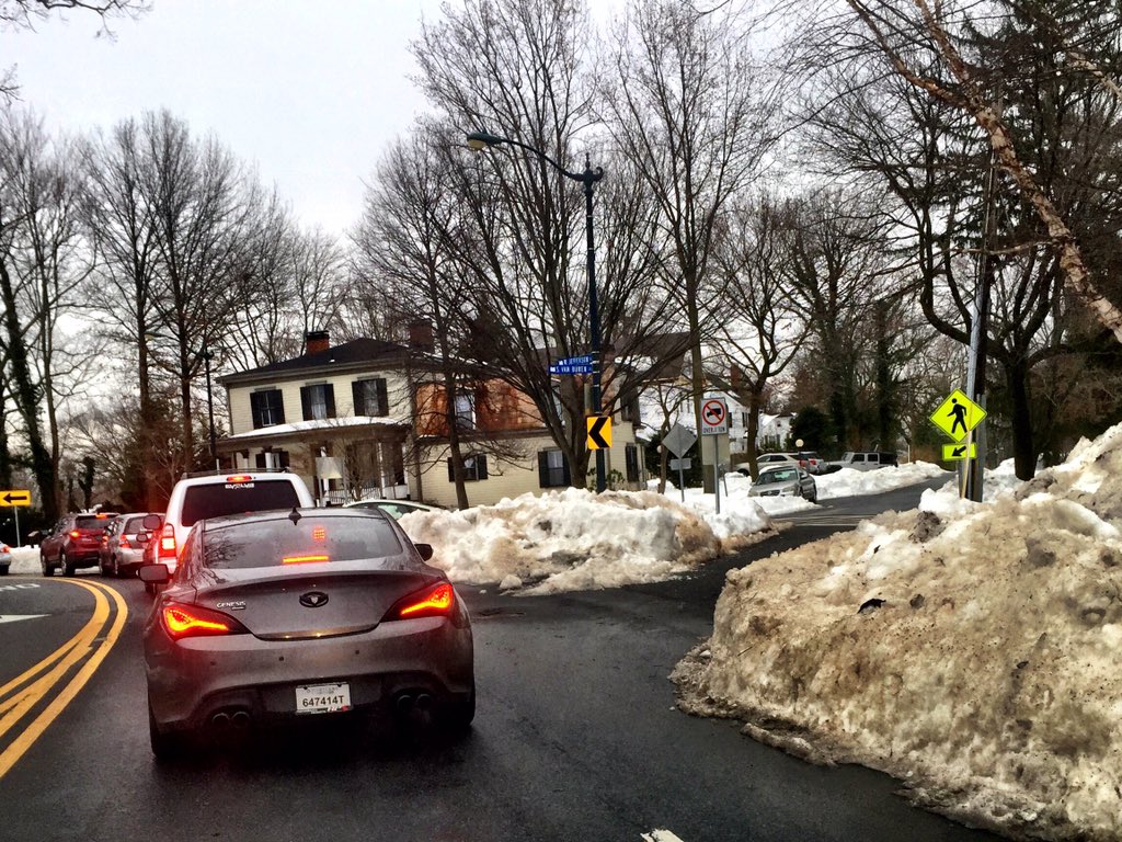
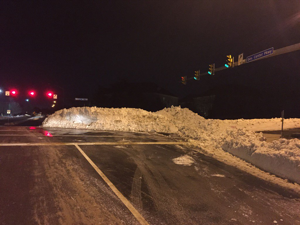
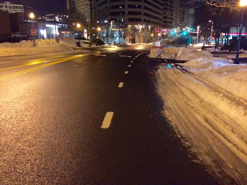
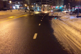
The ice isn’t the only factor jamming the roadways: Many roads, from neighborhood streets to major highways, are still not at full capacity, owing to piles of plowed and unplowed snow taking up lanes and occluding intersections. In Fair Oaks, WTOP’s Dennis Foley finds “a plow pile” that’s causing drivers to turn very sharply around corners.
WTOP’s Nick Iannelli, reporting from Montgomery County, says that the sunrise has at least made it possible to see some of the ice, but it’s still there. And while the snow is receding day by day, snow piles still impede visibility.
A different kind of water problem is affecting the District, as a water main break is rushing water onto Calvert Street in Northwest.
BOB RAGER, with the Maryland State Highway Administration, echoes Kessler’s warning: “You’ve got to drive like [ice] is going to be everywhere,” he told WTOP. “… Anywhere that is might be wet, it might be frozen.”
Rager reminded drivers that road salt has two limitations: First, it only works down to about 20 degrees, and temperatures on the asphalt can go below that on mornings such as this; second, the daytime melting washes salt off. Rager’s crews re-apply, but it’s a game of catchup, and he says, “you’ve got to assume we’re not going to cover every square inch all the time.”
As for getting snow off the roads, Rager says, “We’re getting better every day, but we’ve still got a ways to go.”
He says that he and his department get one question from frustrated drivers all the time: If you can clear main travel lanes in a day, why does it take so long to finish it off?
After the initial pass, Rager says, the nature of the work changes drastically: “We’re sharing the road as each day goes by with more and more cars … and the work we have to do is not so much just straight plowing and salting; we’ve got to do a lot of work with loaders, putting snow in the trucks to take it off the road now.”
JENNIFER McCORD, with the Virginia Department of Transportation, agrees that “We have some very low pavement temperatures,” so that even if snow has been completely cleared, ice creeps back onto the road surface.
“Basically, you’re going to have a strip of ice … your right tire is riding in that.”
Don’t forget, she says: The chances for an accident are increased on a morning such as this, and after a crash, the risks only get worse: “There is so much snow on the shoulders that there is no place for people to pull off after an accident.”
JIM BATTAGLIESE, WTOP’s director of traffic and weather operations, said at about 11 a.m. Thursday that road crews were “making a valiant effort,” but they’re up against “just too much snow for this region.” He says that traffic is just as bad on Thursday as Wednesday, and retracted his earlier estimate that roads might be ready for a full rush hour on Friday. He says that Monday is the more likely target.
By Friday, the region will see clouds, a chance of a flurry or two, and wind chills in the mid- to upper 20s most of the day.
The melt-and-refreeze cycle will continue into the weekend. By Saturday, expect temperatures to make it into the mid-40s and around 50 Sunday.