UPDATE: January 21, 2016 11:13 am
WASHINGTON — The National Weather Service has issued a Blizzard Warning for the immediate D.C. area that is in effect starting Friday afternoon through 6 a.m. Sunday.
The Blizzard Warning goes into effect in the following communities:
3 p.m. Friday to 6 a.m. Sunday
D.C.
VIRGINIA: Arlington County, Fairfax County, Loudoun County, City of Falls Church, City of Alexandria
MARYLAND: Prince George’s County, Montgomery County, Anne Arundel County, Howard County
1 p.m. Friday to 6 a.m. Sunday
VIRGINIA: Prince William County, Stafford County, Spotsylvania County, Fauquier County, Culpeper County, City of Manassas, City of Manassas Park
MARYLAND: Calvert County, Charles County, St. Mary’s County
6 p.m. Friday to 6 a.m. Sunday
MARYLAND: Carroll County, Frederick County, Baltimore County, Harford County
EARLIER: January 21, 2016 11:13 am
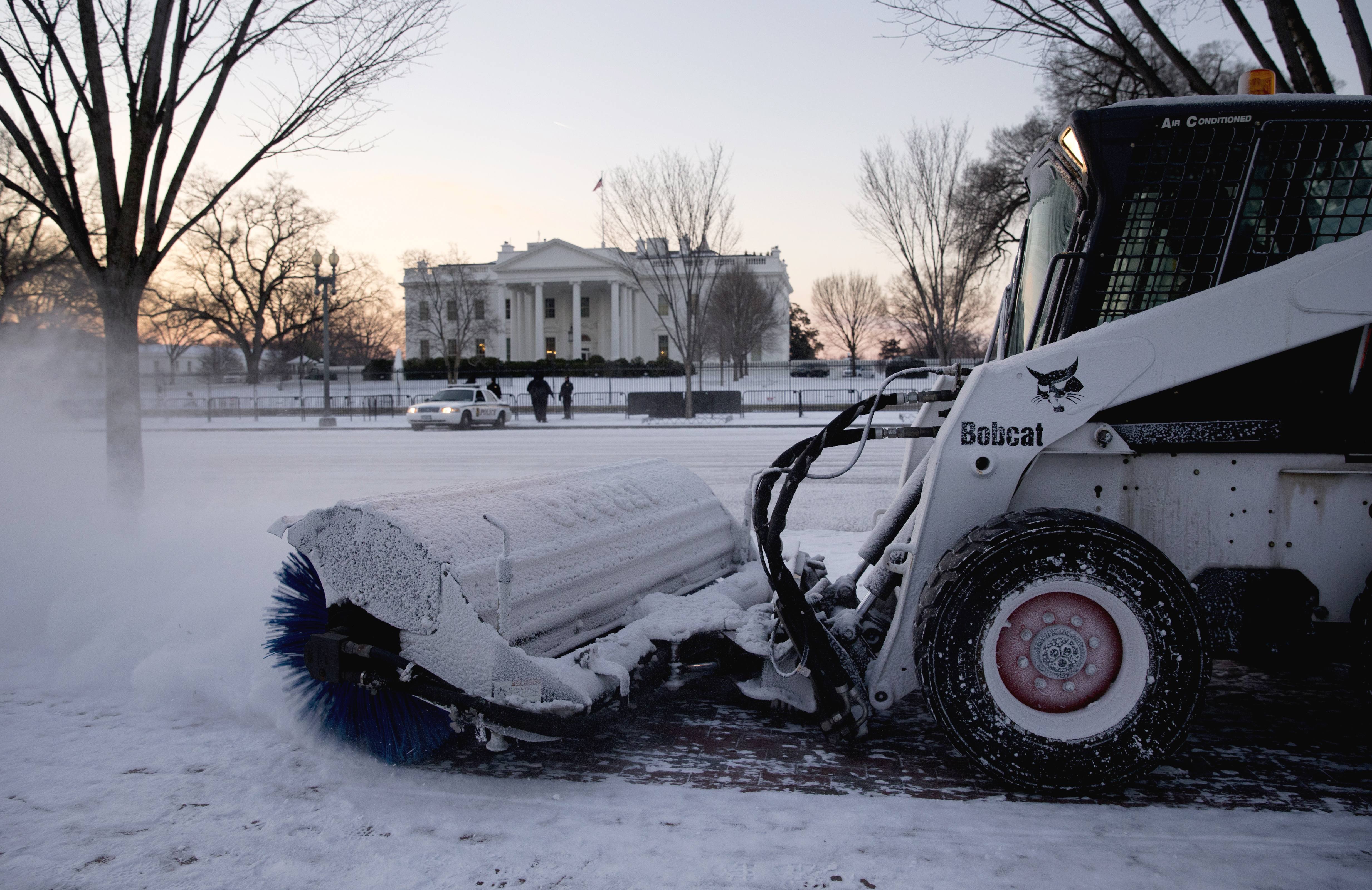
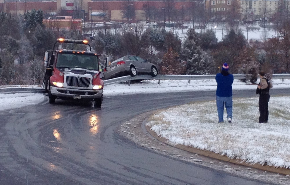
WASHINGTON — An inch of snow on Wednesday evening was enough to send much of the region into a near-shutdown, and it looks like Friday’s weather is going to be downright dangerous.
The National Weather Service issued a Blizzard Watch on Wednesday morning that goes into effect on Friday afternoon. They warn that life and property would be threatened by the snow and wind, which are predicted to begin on Friday afternoon.
Wherever you are Friday at about noon, Storm Team 4 meteorologist Lauryn Ricketts says, plan to be there until at least Sunday morning. The first inch of snow is likely to be have fallen before sunset on Friday, she says, and travel will go from difficult to dangerous to impossible very quickly Friday night. “Plan to have all of your storm preparations done before noon,” she says.
It’s not only a big storm, but a “very consistent storm,” National Weather Service meteorologist Chris Strong told WTOP on Thursday morning. “There hasn’t been wavering one station to the next or one day to the next. This is going to be a bad storm, and a dangerous storm. … We might even have enough snow to be causing roof collapses on the weaker, flat roofs. … There’s no shortage of threats.
Strong says that snowfall rates Friday night into Saturday could reach 1 to 3 an hour. There could be six inches of snow on the ground by midnight Friday night, and snowfall rates of an inch or more per hour will continue all night and through most of the day Saturday. There could even be thunder-snow on Saturday, she says. in some of the more intense snow bands, and there could be wind gusts of 40 mph.
As of about 10 a.m. Thursday, Ricketts says that total accumulations could average 18 to 24 inches — a little less in southern Maryland (around 12-18 inches) and possibly even more to the west of Dulles Airport to the Blue Ridge Mountains. Snow drifts could reach three to five feet.
The last of the snow should end on Sunday morning and the sun will come out Sunday afternoon, but it will likely be Tuesday before things get anywhere close to normal again, Ricketts says.
Virginia has already declared a state of emergency for Friday; the District has declared a snow emergency and closed the schools for that day.
“It’s gonna be very dangerous out there,” Strong says. “… Take it seriously, and just hunker down for the storm and get out on the other side.”