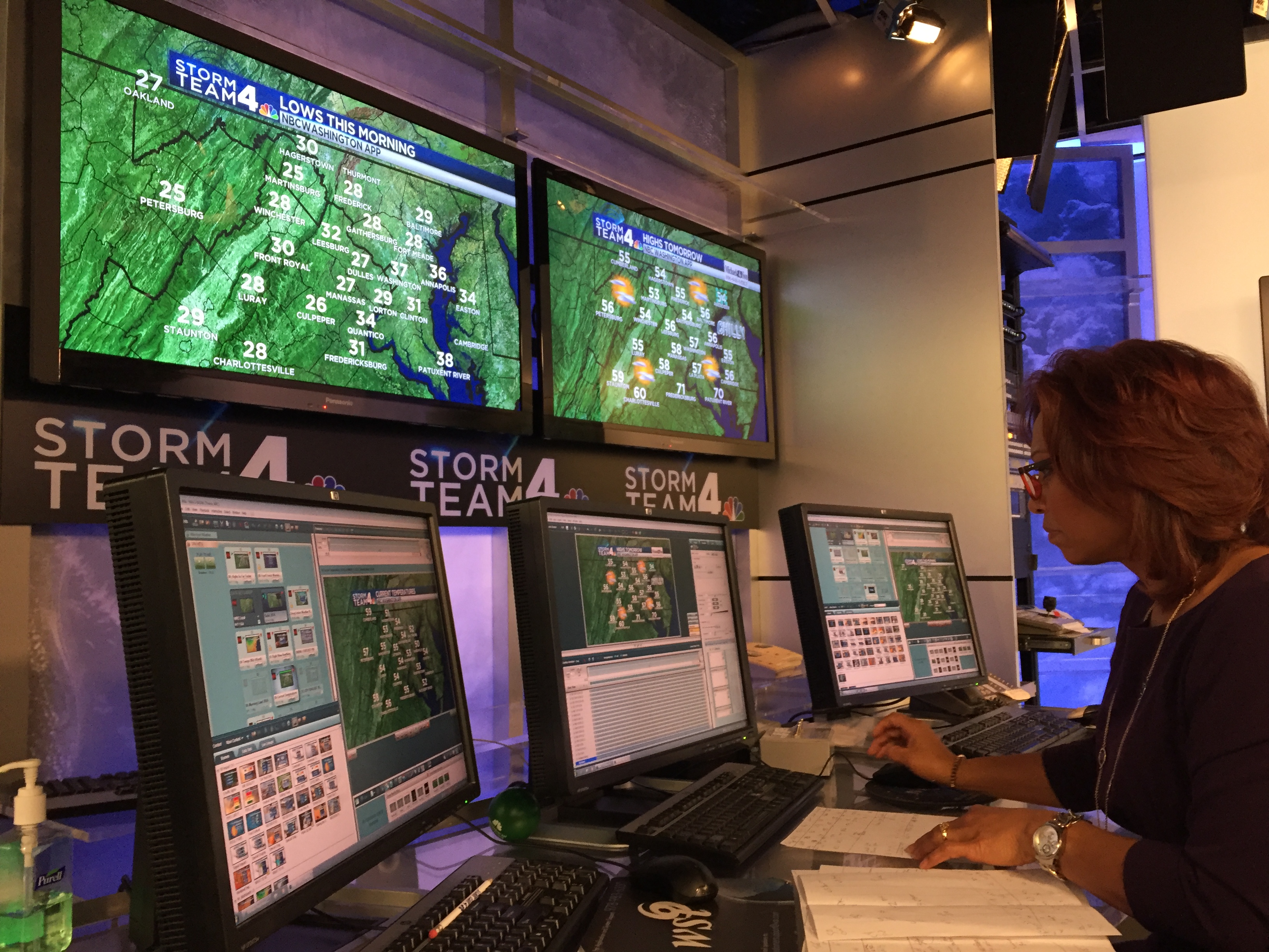
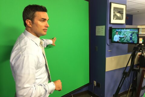
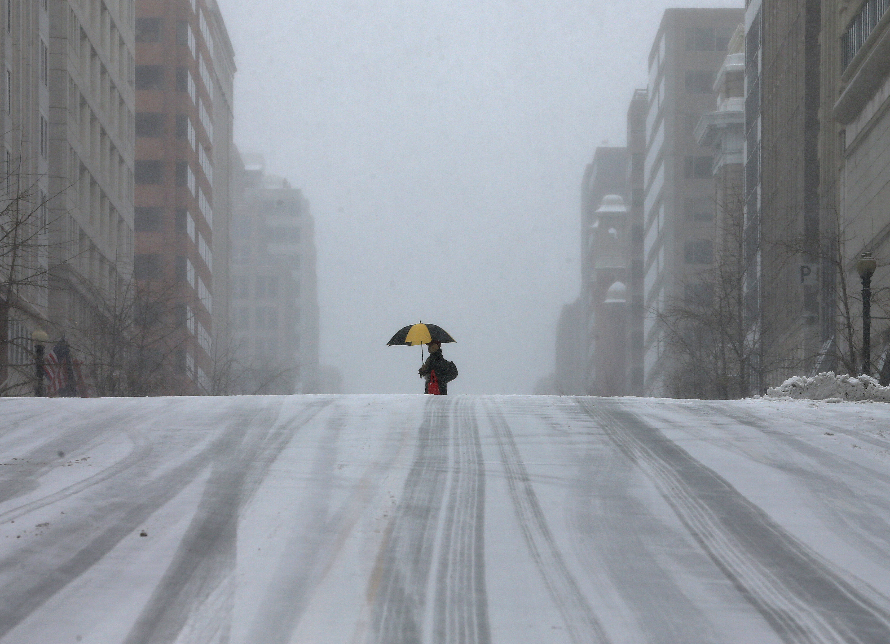
WASHINGTON — D.C. is notorious for politicians, traffic … and often being a tough place to predict the weather.
WTOP talked about it with two of NBC Washington’s meteorologists, who say one big reason is geography.
“You’ve got the mountains; you’ve got the Bay; you’ve got the Atlantic — all things that can come into play,” says NBC Washington Meteorologist Veronica Johnson.
There are major changes in elevation within a relatively short distance, meaning the weather in one part of the region, or even one part of D.C., can be very different from the weather in another.
In addition, the area tends to get storms with northeast winds that bring in both cold air from the north and warm air from the Atlantic.
“It always meets in Washington,” says NBC Washington chief meteorologist Doug Kammerer.
“It’ll be 35 and rain in Washington, and 32 and snow at Dulles. A couple of degrees makes all the difference in the world, and that’s why we get some of these storms that bring us six inches in D.C. and 18 inches in Frederick, Maryland.”
Kammerer says the location of a major highway can be a major meteorological pain.
“In a snowstorm, the hardest part of our forecast is the I-95 corridor, and it’s that way for Washington; it’s that way for Baltimore; it’s that way for Philadelphia; it’s that way for New York; it’s that way for Boston.
“West of I-95, you’re almost always going to get snow. East of I-95, mostly you’re going to have some kind of a rain-snow mix if not all rain. Then right along I-95, where all of those major cities are, you’re going to get some kind of a mixture. And that’s why predicting the snowfall is so hard in this area.”
It’s not just the large storm systems that are a concern. Johnson says small ones can be particularly tricky.
“You can get — not a true storm, but a little wave in the atmosphere that can come rippling across at 4 or 5 in the morning, right at the … beginning of the morning rush. And it can be just enough to squeeze out a little bit of moisture (and) lay it down on a road where the temperatures are below freezing. That is extremely hard to forecast.”
Johnson says if weather models indicate a lot of uncertainty about an upcoming storm, it’s crucial to spell that out to viewers and listeners.
“We will go on the air and say … ‘Let’s wait another 12 hours, let’s wait another 24 hours because there is so much inconsistency. Wait and we’ll know more tomorrow.’ That really is the other part of getting the forecast right … communicating properly.”
Johnson says the popularity of social media is really helping meteorologists.
“We’ll get on the air, we’ll get on the radio and say ‘Hey, tweet us what you see in your area.’ Or, ‘Tell us what you’ve got falling in your area.’ That’s more information that we can put in our toolbox. There’s nothing like verification as opposed to looking at radar. It may be showing snow where it’s really freezing rain or just a cold rain. Verification is so important, so we always thank our followers.”


