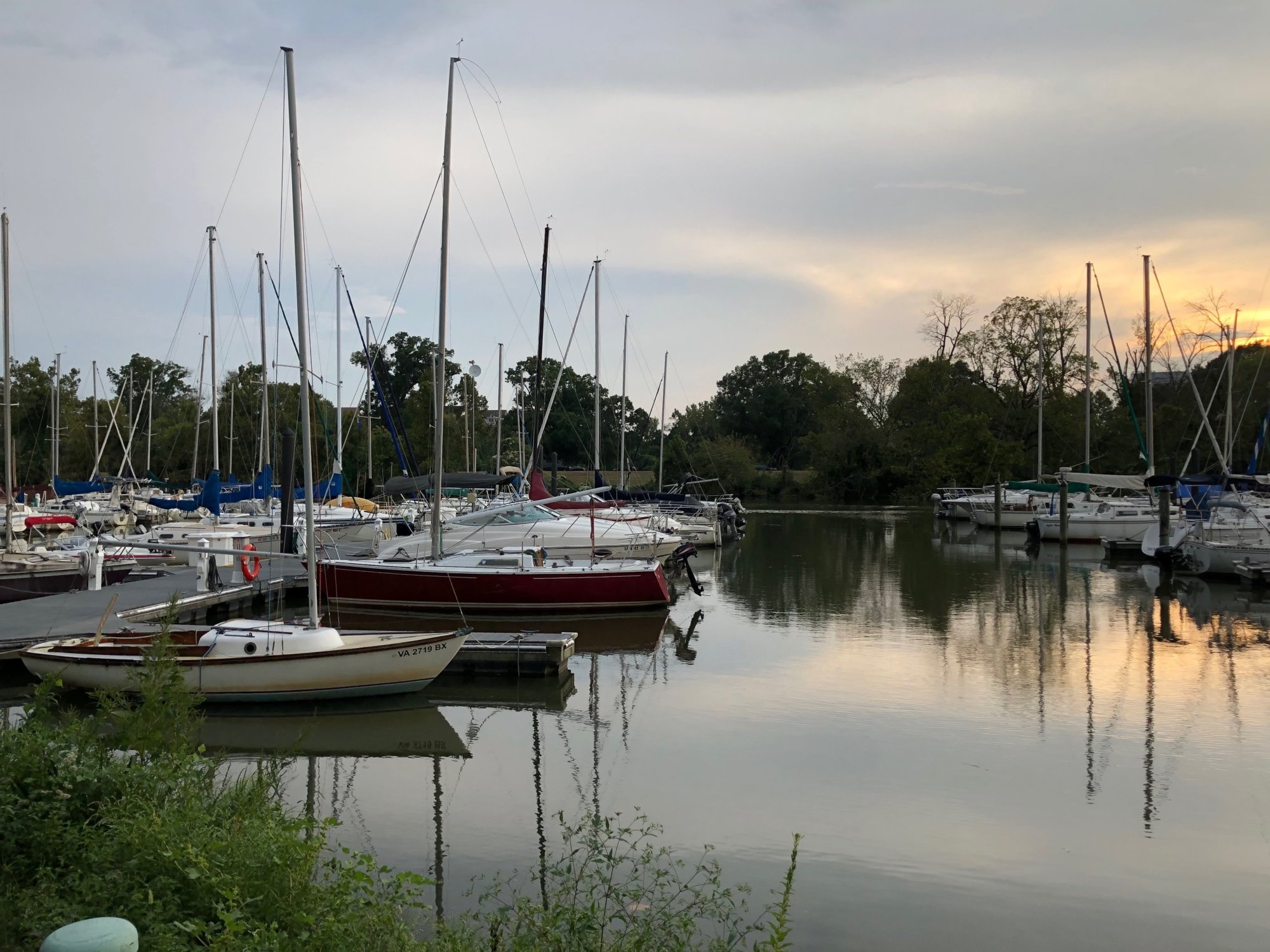
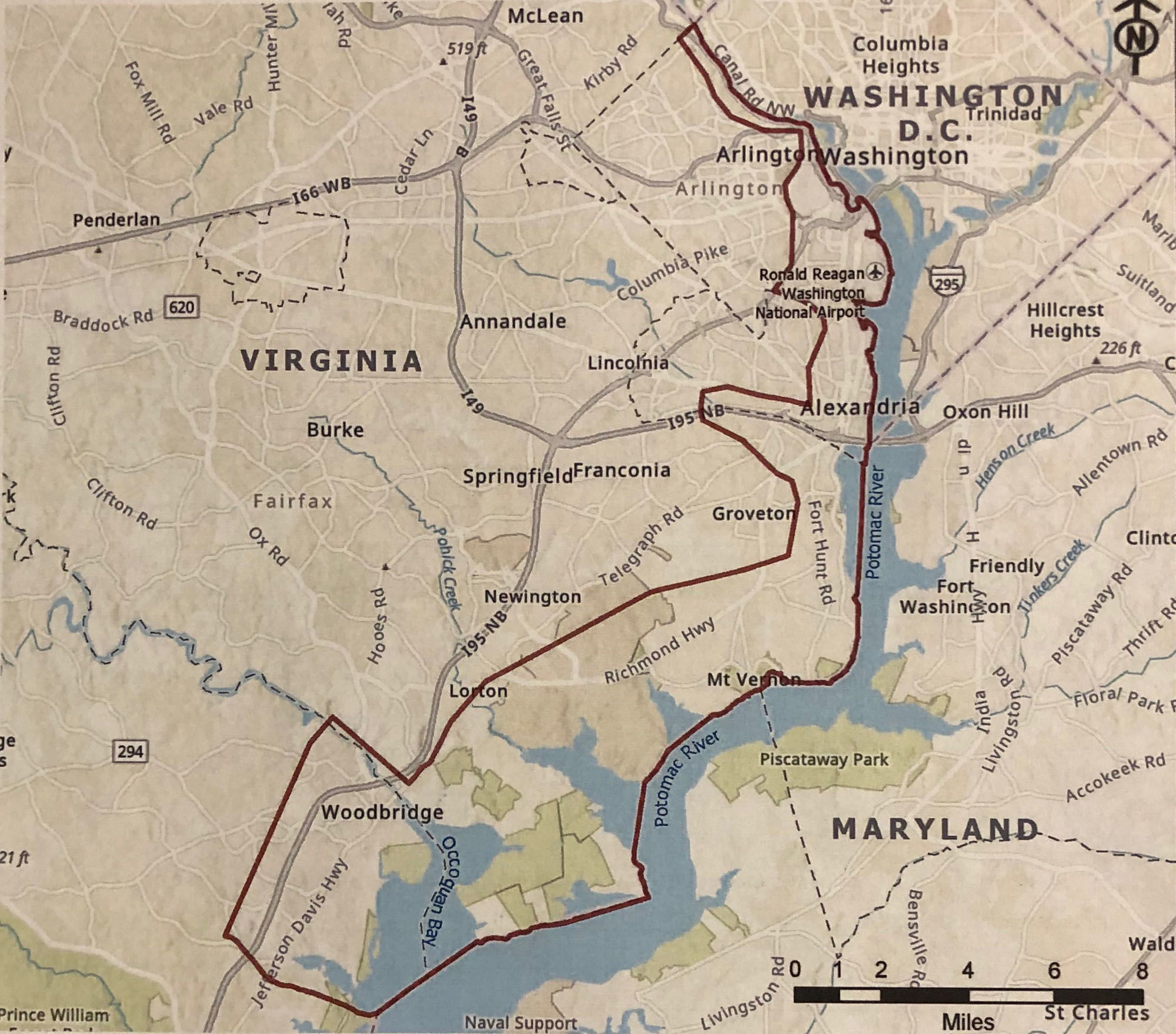
Some Northern Virginia communities along the Potomac River, including Old Town, Bell Haven and the Fort Hunt area, are no strangers to the threat of flooding.
These communities are part of a $3.5 million study on the risk of coastal storms and what can be done to protect public and private property.
The Army Corps of Engineers and the Metropolitan Washington Council of Governments have launched a 2 1/2 year study of flooding threats to site from Arlington to northern Prince William County.
“There’s always been a threat for flooding in this area, but there’s never been a real comprehensive look at the whole area … and we’re taking a larger view than we’ve ever looked at it before; so we can look at a whole system of ways that we can reduce the threat,” said Steve Walz, Environmental Programs Director at the Metropolitan Washington Council of Governments.
Roadways including the George Washington Parkway and other critical infrastructure, such as Reagan National Airport, Metrorail and CSX freight tracks, could be imperiled by flooding produced by major coastal storms.

The study hopes to identify vulnerable places and offer potential solutions.
“Measures that might address the flood problem could be structural things like levees or flood walls … things like raising buildings, elevation, or even moving people off the flood plain,” said Jacqui Seiple, study manager for U.S. Army Corps of Engineers.
Following Hurricane Sandy in 2015, Congress asked the Army Corps of Engineers to assess the risk along the Atlantic coast. The D.C. area was identified as a high-risk area.
“We’re facing the risk to public safety and health, and so we want to plan for that and make sure that when these storms come through that the people, our infrastructure, whether it be Metro, the George Washington Parkway, the rail lines are all protected,” Walz said.


