WASHINGTON — So far this year, there’s been severe drought in California and extreme flooding in places like Texas. But scientists right here in the D.C. area are monitoring it all from space.
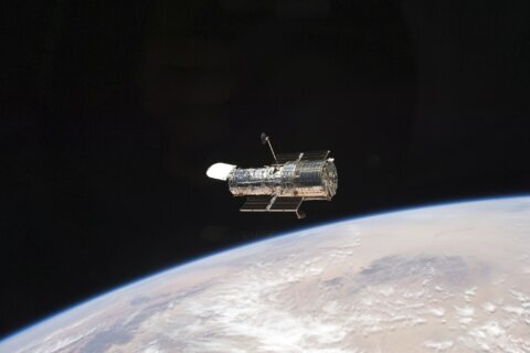
“NASA has 20 earth-observing satellites that provide sort of a state of the planet in real time, and that allows us to look at a whole range of different processes,” says scientist Doug Morton at NASA’s Goddard Space Flight Center in Greenbelt, Maryland.
“My job is to take information from each of those different satellites and put them together to tell the story of the earth as a system.”
You might be surprised how much the satellites can “see” from their orbits.
For example, in California, where there’s been so little rain, satellites can detect that people are now depending more heavily on groundwater.
“We actually sense that from space as a change in earth’s gravity, because water’s quite heavy,” Morton says.
Microwave imaging can help NASA figure out how much water is stored in clouds, and when fires are burning, thermal or infrared imaging can see through the smoke and pinpoint the flames.
On Friday, NASA released a video made from satellite imagery showing rainfall accumulation from Jan. 1 through July 16 of this year.
Light blue means up to one inch of rain fell, up to 12 inches is green, up to 20 is yellow, up to 40 is red, and areas of purple indicate as much as 76 inches of rain came down.
You can watch the video here:


