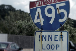
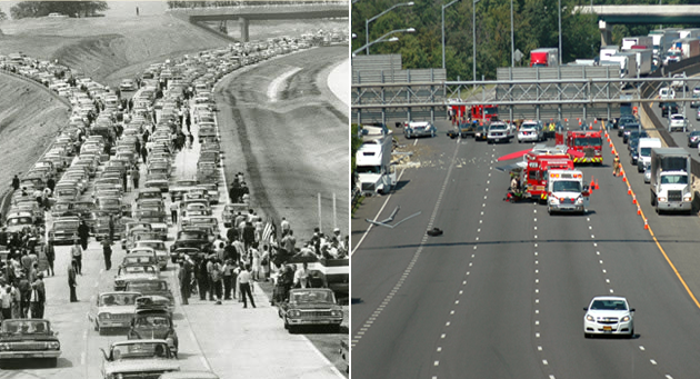
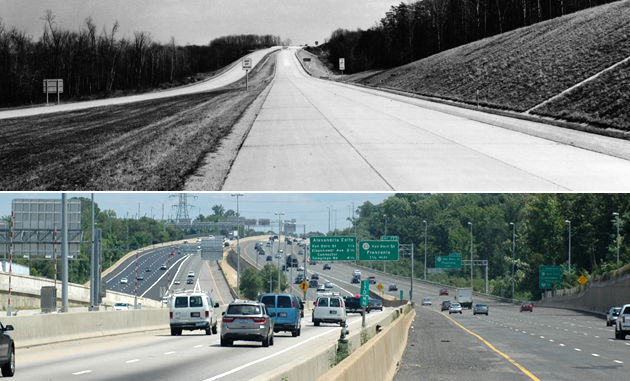
The ceremony was held near the New Hampshire Avenue Interchange. A famous photo taken on that day faces west and shows the entrance ramp to the Inner Loop from northbound New Hampshire Avenue.
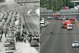
Since then, enhancements such as additional lanes, overhead lighting and better signage are not enough to conquer the road's chronic congestion. A truck wreck in late July 2014, pictured, snarled traffic at the very spot where drivers and politicians held high hopes for a congestion cure-all 50 years earlier. (Star Collection/D.C. Public Library/Washington Post and WTOP/Dave Dildine)
Star Collection/D.C. Public Library/Washington Post and WTOP/Dave Dildine
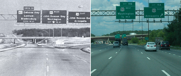
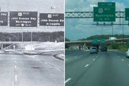
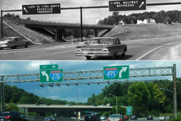
The Beltway's median has since been sacrificed to add capacity and the U.S. 50 junction has been upgraded to a three-tier clover-stack interchange to improve traffic flow. (Maryland State Highway Administration and WTOP/Dave Dildine)
Maryland State Highway Administration and WTOP/Dave Dildine
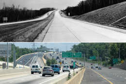
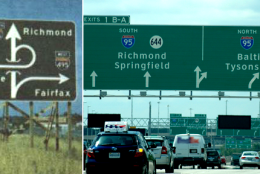
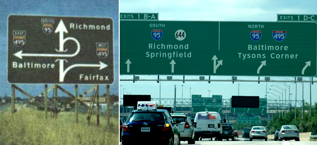
Fast-forwarding to 2014, the Springfield Interchange sports a dizzying array of ramps, flyover bridges and exchanges between carpool, E-ZPass Toll and mainline highways. At its widest approach, this section of the Beltway carries 16 lanes of traffic in and out of the large stack interchange. (Virginia Department of Highways and WTOP/Dave Dildine)
Virginia Department of Highways and WTOP/Dave Dildine
Douglas Kerr/Rand McNalley and WTOP/Dave Dildine
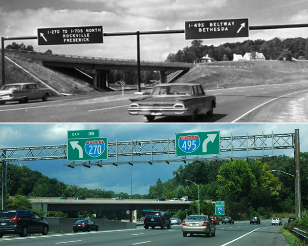
Today, a total of twelve lanes carry traffic through Bethesda at this busy exchange.
(Star Collection/DC Public Library/Washington Post and WTOP/Dave Dildine)
Star Collection/DC Public Library/Washington Post and WTOP/Dave Dildine
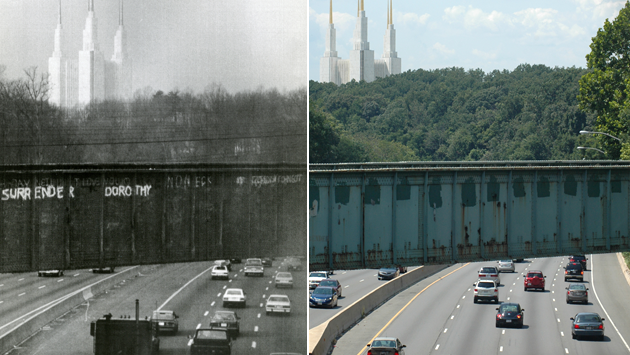
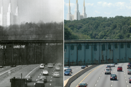
Passersby, inspired by the nearby Mormon Temple's likeness to a scene in "The Wizard of Oz," have painted the words on the side of the bridge several different times over the decades. Each occurrence of graffiti has been whitewashed since the fad began in the early 1970s.
(United Press International and WTOP/Dave Dildine)
United Press International and WTOP/Dave Dildine