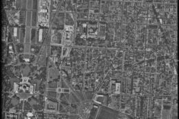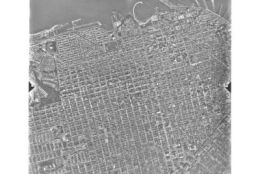
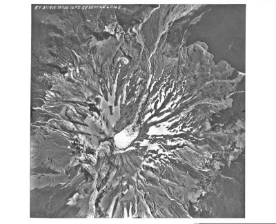
Courtesy of the National Archives
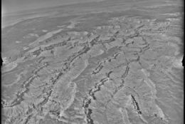
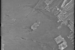
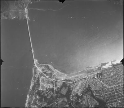
Courtesy of the National Archives
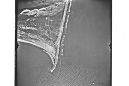
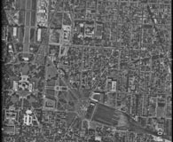
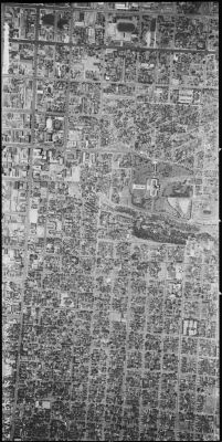
Courtesy of the National Archives
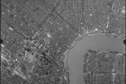
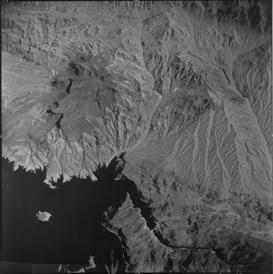
Courtesy of the National Archives
Courtesy of the National Archives
Courtesy of the National Archives
Courtesy of the National Archives
Courtesy of the National Archives
Courtesy of the National Archives
Courtesy of the National Archives
Courtesy of the National Archives