Winter temperatures took a break for a few days, but they came back Friday, and temperatures dropped in the afternoon as possible snow heads to the D.C. region for Saturday. And the timing of the snow is leading some local school systems to cancel Saturday activities.
The National Weather Service has issued a Winter Weather Advisory for Saturday from 7 a.m. to 7 p.m. for areas west and north of D.C.
A Winter Weather Advisory is in effect for tomorrow from 7am-7pm. We are expecting #SNOW during the morning which should last about 3 hours. We will then see a lull, followed by sleet and freezing rain later. See you this afternoon at 4,5&6! @nbcwashington pic.twitter.com/UIfSxs6sJF
— Doug Kammerer (@dougkammerer) January 17, 2020
Storm Team4 meteorologist Amelia Draper said that Saturday’s precipitation will come in two waves: a probably snowy burst of about three hours starting at about 7 a.m., and another round of mostly rain in the afternoon.
“This is not a big storm,” said Storm Team4’s Doug Kammerer.
There are chances of a coating to 2 inches of snow, and a possibility of a coating of ice thanks to the later rain, around the Mason-Dixon Line.
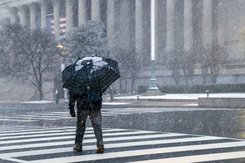
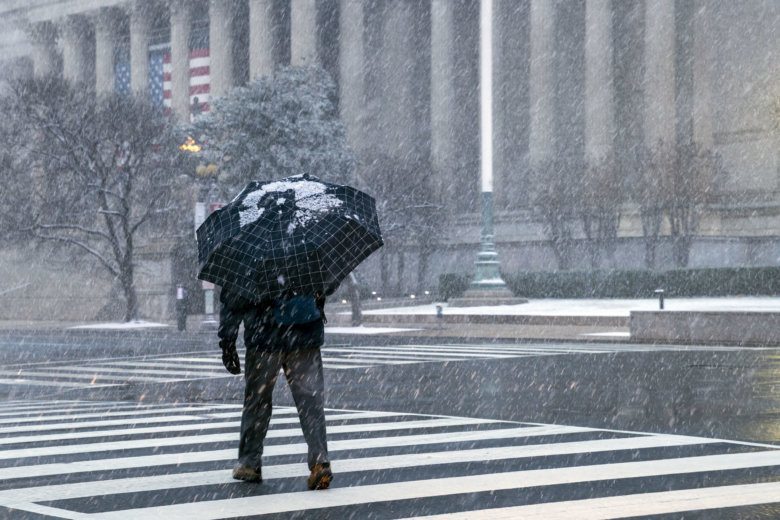
Around D.C., it looks like some morning snow — perhaps a coating — and the chance of sleet and freezing rain later in the day. Temperatures will warm up Saturday evening, so there won’t be any freezing on the roads Saturday night.
All school activities, such as sports practices and games, field trips and professional development activities, are canceled for Saturday in Fairfax and Culpeper counties, in Virginia, and Prince George’s County, in Maryland.
Winds will turn to the Southwest and increase to about 15 to 20 mph by the afternoon on Saturday, with temperatures in the upper 30s by sunset.
“This storm will be a nuisance-level event but there certainly could be some tricky travel conditions on untreated surfaces for most of the day,” said Storm Team4’s Matt Ritter.
After that comes several days of cold, including Sunday into Monday.
Forecast
Friday night: Becoming cloudy. Light snow arriving close to morning. Cold. Lows: mid 20s to near 32.
Saturday: Light snow accumulating an inch or less by mid-morning, changing over to sleet and freezing rain. Changing to plain rain in the afternoon except for far northwest suburbs. Cold and raw. Highs: mid-30s to low 40s.
Sunday: Light rain ending early in the morning. Turning windy with falling temperatures. Early day highs: mid-30s to low 40s.
Monday: Mostly sunny. Brisk and very cold. Highs: Mid-20s to low 30s.