The D.C. region’s first snowfall of the new year is in store for Tuesday, but those looking for anything more substantial than a travel nuisance shouldn’t get their hopes up.
Rain and snow showers are expected to move into the area mid-Tuesday morning through the early afternoon. The projected timing is from 11 a.m. to 2 p.m., ending around 6-8 p.m.
The afternoon looks snowy north and west of the metro area, with impact possible for evening commute.
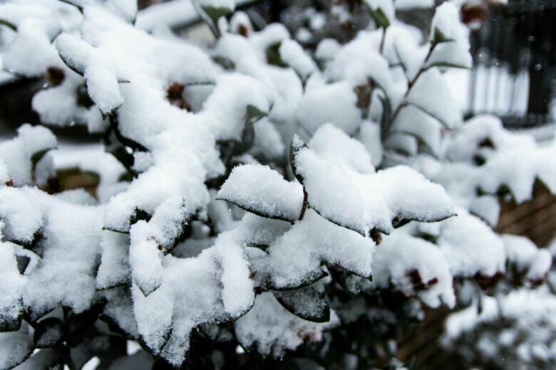
With temperatures in the upper 30s to low 40s — barely cold enough to allow for frozen precipitation — the D.C.-Baltimore corridor could see up to an inch or two of snow through Tuesday afternoon, with the western areas of Virginia and Maryland along Interstate 81 potentially eyeing higher totals.
“That is cold enough for some slushy, wet snow, but it also means that most of the accumulations will be on grassy areas,” Storm Team 4 meteorologist Chuck Bell told WTOP. He added that school delays and cancellations “do not appear too likely.”
- Listen to WTOP online and on the radio at 103.5 FM or 107.7 FM.
- Current traffic conditions
- Weather forecast
- Closings and Delays
- Sign up for WTOP email alerts
- Get custom alerts with the WTOP app for Apple and Android phones
A low pressure system will move northeast out of Tennessee and skirt the Blue Ridge Mountains on Tuesday morning, bringing with it a quick but potent burst of wintry weather.
The storm will kick off with scattered rain showers or a rain-snow mix, transitioning to all snow for most outside of southern Maryland through Tuesday afternoon. That mix should help keep totals down, but even if the timing and temperature aren’t primed for a big event, it’s enough to make for a tough time on the roads.
With snow in the forecast until at least early Tuesday evening, drivers heading home from work, especially to areas north and west of the city, should keep a close eye on the forecast.
A fast moving system will bring some snow to the region on Tuesday. A Winter Weather Advisory has been issued for areas near and west of Charlottesville where confidence in snow amounts is highest. Visit https://t.co/ZOlvESgJ2H for the latest information. pic.twitter.com/Laljx8o4V1
— NWS DC/Baltimore (@NWS_BaltWash) January 6, 2020
“We could encounter a light accumulation in and around the metro areas during the Tuesday evening rush,” the National Weather Service’s regional office said in its forecast discussion. “Temperatures will play a bigger role in accumulation potential and how much of a rain/snow mix exists.”
The Maryland Department of Health is reminding residents to protect themselves against indoor and outdoor health risks related to the winter season, including hypothermia and carbon monoxide poisoning.
For the latest road and traffic conditions, see WTOP’s traffic page, or listen to updates every 10 minutes online or on the air at 103.5 FM.
Submit traffic tips by calling 866-304-WTOP or tagging @WTOPtraffic on Twitter.
Forecast
Tuesday: Rain and snow showers arrive 11 a.m. to 2 p.m., and ends 6-8 p.m. Highs in the mid-30s to low 40s.
Wednesday: Mix of clouds and sun, blustery, with some widely scattered snow showers/flurries possible. Highs in the upper 30s to mid-40s.
Thursday: Sunny and cold. Highs in the mid- to upper 30s.
Friday: Mostly cloudy and warmer. Highs in the low to mid-50s.