




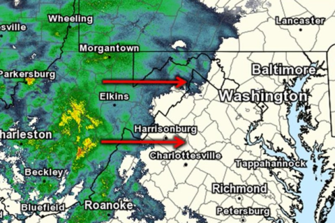
People in the area likely won’t see any more white flakes Friday, but it will stay wet for the rest of the day: Rain is in the forecast.
After Friday morning’s wintry mix, temperatures will stay in the upper 30s and it’s expected to rain steadily after around 5 p.m., according to Storm Team4 meteorologist Chuck Bell.
- Listen to WTOP online and on the radio at 103.5 FM or 107.7 FM.
- Current traffic conditions
- Weather forecast
- Closings and Delays
- Sign up for WTOP alerts
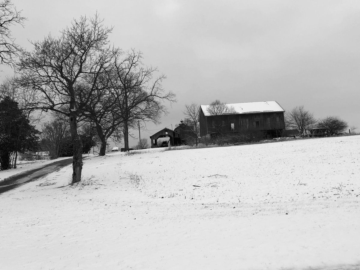
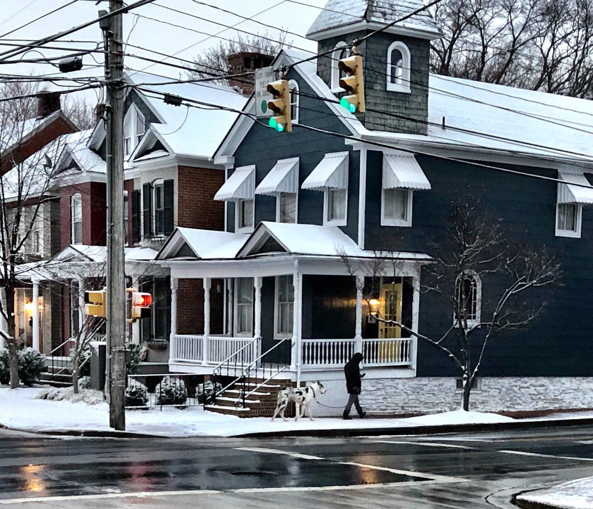
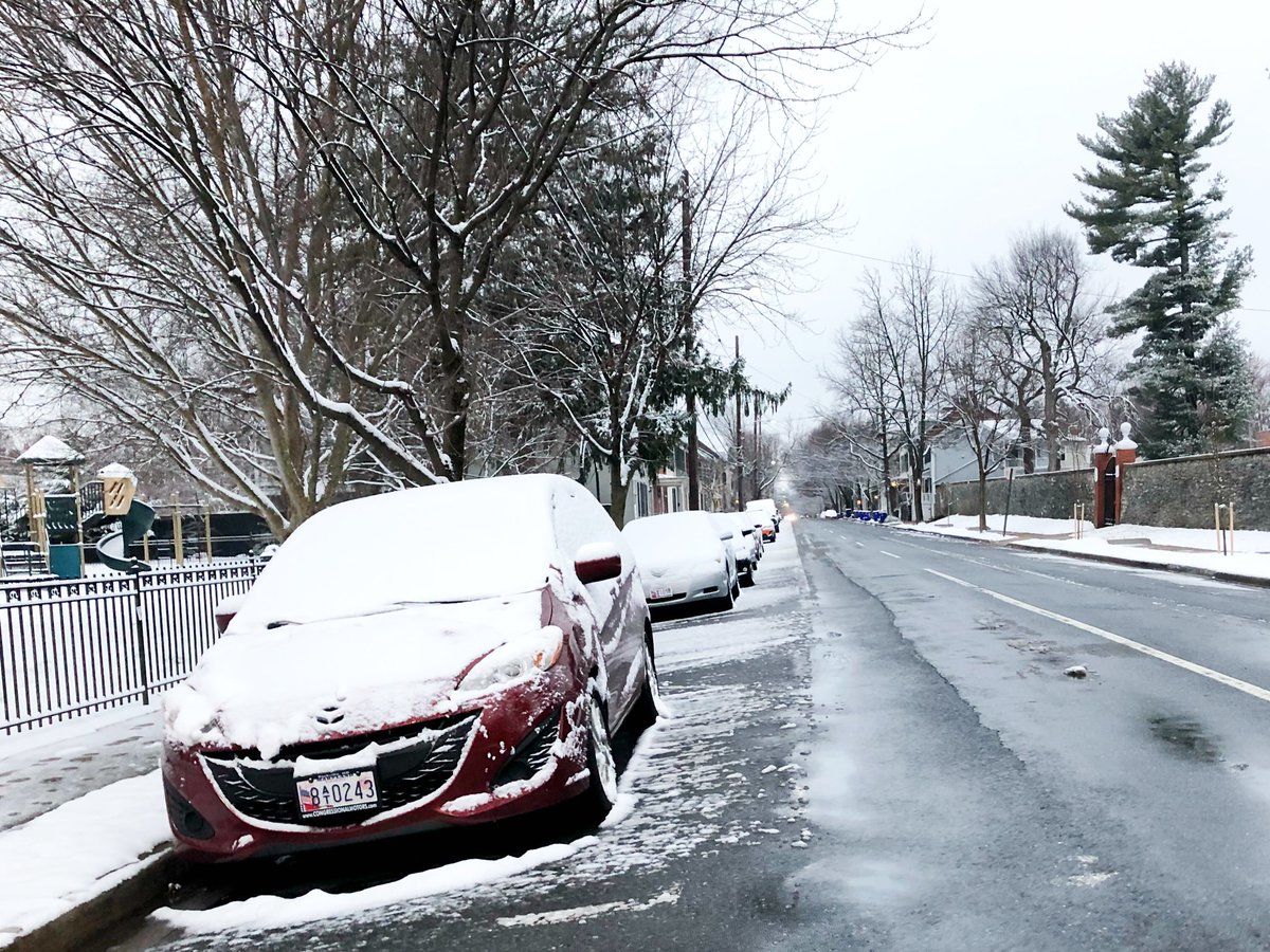
The wintry mix Thursday night into Friday morning caused trouble on area roadways for the morning commute, including a fatal crash on the Capital Beltway and slick roads and ramps. Due to the inclement weather, some schools opted to open late or close.
Shortly before 6 a.m. the system began to taper off, said Storm Team4 meteorologist Matt Ritter.
More counties in the area began to fall off from the winter weather advisory.
More counties dropped from Winter Weather Advisory. Now just the Shenandoah Valley, Blue Ridge locations and Frederick County, MD, until 10am. But watch those icy spots! Thaw won’t begin til mid-morning. @wtop pic.twitter.com/bHPgpJaDOE
— Met. Matt Ritter (@MetMattRitter) March 1, 2019
The winter weather advisory continues in Frederick County, Maryland until 10 a.m. Friday.
As temperatures rise to the mid-30s and lower 40s, road conditions should improve. Sadly, though, it will herald a weekend of mostly cold, wet weather.
“It is going to be a nasty couple of days here,” Storm Team 4 Doug Kammerer said.
Traffic and Transit
After being closed for hours and causing major delays, the Outer Loop of the Capital Beltway reopened shortly before 8:30 a.m.
A fatal crash involving a tractor-trailer and an SUV had blocked traffic on the roadway.
More from State Police on deadly beltway crash in College Park: SUV driver lost control, tractor trailer unable to avoid. One person from SUV pronounced dead at scene. Weather may have been a factor @WTOP pic.twitter.com/x3Mu1hw1Ac
— John Aaron (@JohnAaronWTOP) March 1, 2019
“Remember not to overdrive the conditions. What looks wet could be icy,” said WTOP Traffic Reporter Reada Kessler.
Picturesque, historic Frederick. Precipitation all but finished here, in Frederick and Loudoun counties. @WTOP @WTOPtraffic pic.twitter.com/f59HYIiE1J
— Neal Augenstein (@AugensteinWTOP) March 1, 2019
WTOP’s Neal Augenstein was on snow patrol Friday morning. In downtown Frederick, less than 2 inches of snow had fallen by 7 a.m. The snow stopped at around 6:30 a.m. in the area, leaving roads mostly wet.
Earlier, Loudoun County was seeing a slippery slush, Augenstein reported.
Snow totals
Snow totals for parts of the region that did get accumulation are as follows:
D.C.
- National Zoo: 0.6 inches
Maryland:
- Elkridge, Howard County: 2.8 inches
- Ellicott City, Howard County: 2.5 inches
- Savage, Prince George’s County: 1.7 inches
- Mount Airy, Carroll County: 1.7 inches
- Montgomery Village, Montgomery County: 1.6 inches
- Brookeville, Montgomery County: 1.5 inches
- Gaithersburg, Montgomery County: 1.5 inches
- Walkersville, Frederick County: 1.5 inches
- Sykesville, Howard County: 1.5 inches
- Norbeck, Montgomery County: 1.4 inches
- Westminster, Carroll County: 1.5 inches
- Crofton, Anne Arundel County: 1.2 inches
- Takoma Park, Montgomery County: 0.5 of an inch
Virginia:
- Winchester, Virginia: 2.5 inches
- Reston, Fairfax County: 0.2 of an inch
- Purcellville, Loudoun County: 1.8 inches
- Falls Church area of Fairfax County: 0.2 of an inch
- Herndon, Fairfax County: 0.4 of an inch
- Franconia, Fairfax County: 0.4 of an inch
- Dunn Loring, Fairfaix County: 0.4 of an inch
- Chantilly, Fairfax County: 0.4 of an inch
- City of Manassas: 0.1 of an inch
The Forecast
Friday: A bit of snow may continue in the far north and west. Accumulations mostly on grassy surfaces. Rain in the afternoon and evening hours. Highs in the mid-30s.
Saturday: Morning rain shower possible; otherwise, cloudy. Highs near 50.
Sunday: Cloudy with rain, possibly mixing with snow at night, mainly north and west of D.C. Highs in the mid-40s.


