
WASHINGTON — Friday is Groundhog Day, and the chance for some wet snow flurries is in the forecast — again.
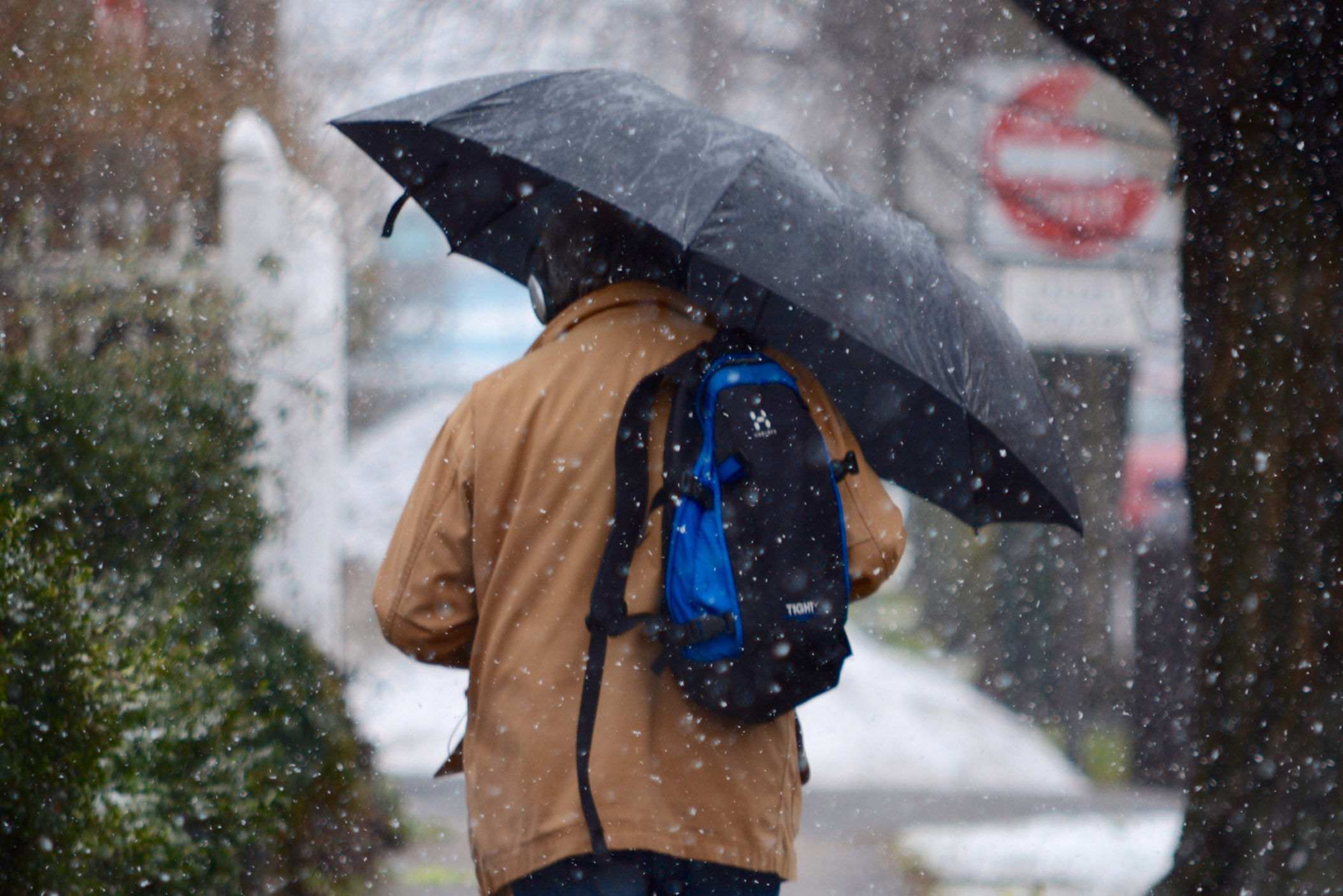
A mild Thursday gives way to a cold front that will bring rain to the D.C. area Thursday evening. And with temperatures dropping into the 30s, the rain showers could develop into some wet snow.
The rain is expected to transition to snow after midnight, according to the National Weather Service, “but this shouldn’t be a big deal,” the agency tweeted.
More info on that cold front… Rain will arrive this afternoon-evening as the warmth leaves. There will be a transition to snow, but this shouldn’t be a big deal. Here is the precipitation timeline, by region: pic.twitter.com/JG2E7dYsG5
— NWS DC/Baltimore (@NWS_BaltWash) February 1, 2018
Storm Team4 meteorologist Sheena Parveen said most of the precipitation should end before sunrise.
“So, a lot of this will be cleared out by the time the morning commute starts,” Parveen said.
Earlier this week, a smattering of wet snow in the overnight hours led to some school delays in Maryland and Virginia.
Be prepared to bundle up Friday as breezy, colder conditions return, with temperatures dropping into the 20s throughout the afternoon.
Saturday will see partly cloud conditions with highs in the upper 30s, Parveen said. But the rain returns on Sunday bringing with it the chance for some light snow showers.


