Ghost roads: The forgotten and haunted roads of D.C.

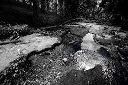
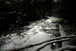
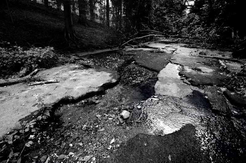
Klingle Road Klingle Road was once a bustling collector street that ferried motorists through Cleveland Park between the National Cathedral and Mount Pleasant. Today, Klingle Road lies in ruin. Persistent flooding and storm water runoff caused irreparable damage to the road and by the early 1990s it was permanently closed to traffic due to safety concerns. (WTOP/Dave Dildine)
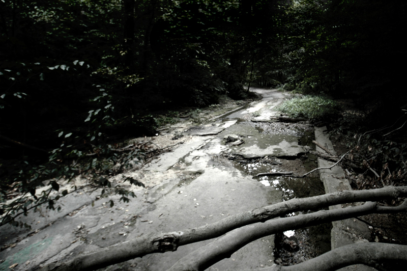
Klingle Road (continued) Klingle Road has been abandoned for about a quarter of a century. Nature has since reclaimed much of the valley. Several sections of the crumbling roadway are in upheaval, having been displaced by subsequent flooding. Gnarled trees grow through the cracks and beside dislodged culverts.

The remains of Klingle Road can be seen today, but they may be gone tomorrow. The 2010 Klingle Valley Trail Environmental Assessment cleared the way for a new route to be constructed through the valley. The District is transforming the old road into a multi-use trail that will connect it to the existing pedestrian and bicycle trails in Rock Creek Park. (WTOP/Dave Dildine)
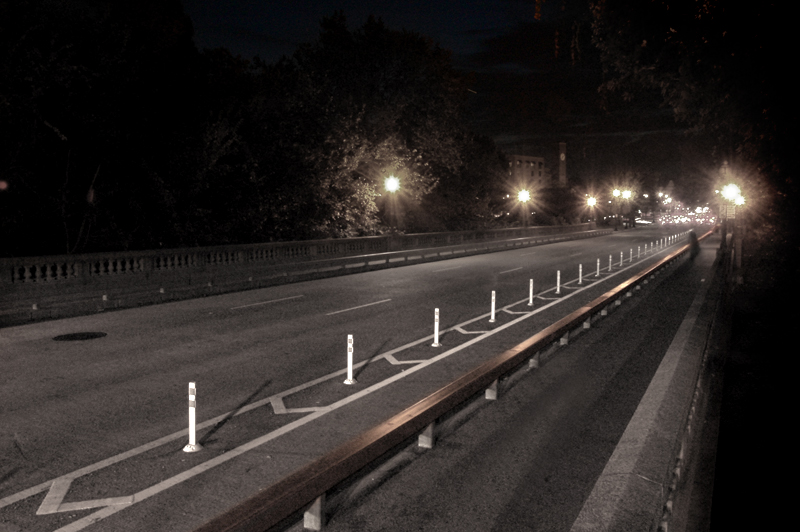
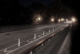
M Street Bridge in Georgetown The M Street Bridge spans the void between the West End and eastern Georgetown. The bridge above Rock Creek is often bustling by day but after sunset, as offices close and late-night revelers congregate in the heart of Georgetown, foot and vehicle traffic dwindles.

As the urban din diminishes after midnight, some claim that a faint drum beat can be heard below the bridge where a drummer boy is said to have fallen to his death around the time of the Revolutionary War. According to lore, the boy lost his balance, perhaps because of a gust of wind, and drowned in Rock Creek. Apparitions of the drummer boy and even a headless horseman are said to appear on the bridge when autumn winds howl out of the north and funnel through Rock Creek Valley. (WTOP/Dave Dildine)
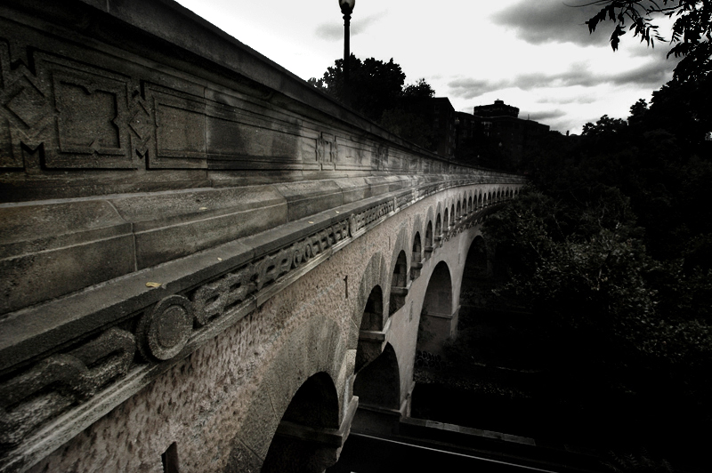
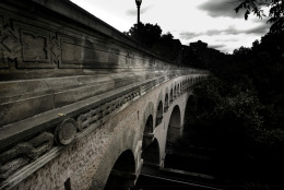
The Dumbarton Bridge The roads and bridges in Rock Creek Park blend into the natural landscape. The east-to-west routes across the park were constructed in a manner and location that would least obtrude into the forest.

The Dumbarton Bridge, also known as the Buffalo Bridge, carries Q Street across Rock Creek. The structure has spanned the creek for nearly a century. The bridge's architects intentionally designed a curved structure to better conform to the valley's rim and Q Street's uneven approaches on either side of the creek. The thoroughfare is an oddity: It is the only curved bridge of its kind in the city. (WTOP/Dave Dildine)
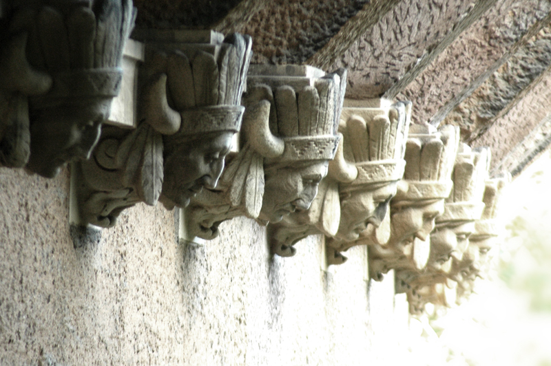
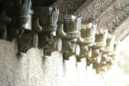
The Dumbarton Bridge (continued) The Dumbarton Bridge's marvelous neoclassical architecture is easy to overlook amidst the mature hardwood trees that have grown beside it. The ghostly effigies on the downstream face are of the Sioux Chief Kicking Bear. The sculptures stare down at the forest floor and Rock Creek Parkway below the bridge, offering a reminder of the lost American Frontier. (WTOP/Dave Dildine)
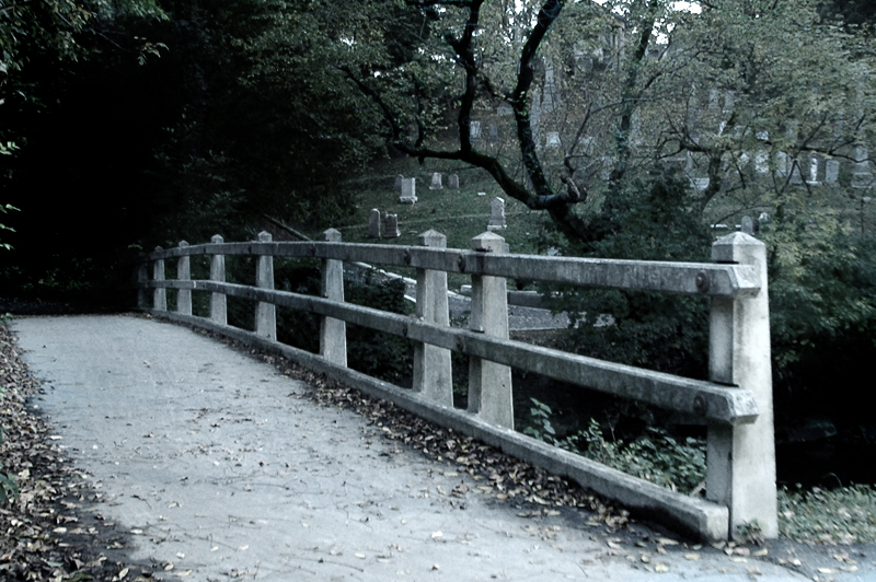
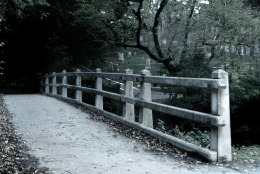
The Devil's Chair Bridge The Devil's Chair Footbridge carries pedestrians and cyclists across Rock Creek near Waterside Drive. The origins of its name are shrouded in mystery. The National Park Service says that the bridge was at one time called the Lyons Mill Footbridge.

The bridge lies in the shadow of Oak Hill Cemetery and leads into one of Rock Creek Park's darkest corridors west of the creek. Shadows cast by the steep escarpment near the cemetery and a dense tree canopy laced with thick vines leads to damp, often foggy conditions along this section of the trail. (WTOP/Dave Dildine)
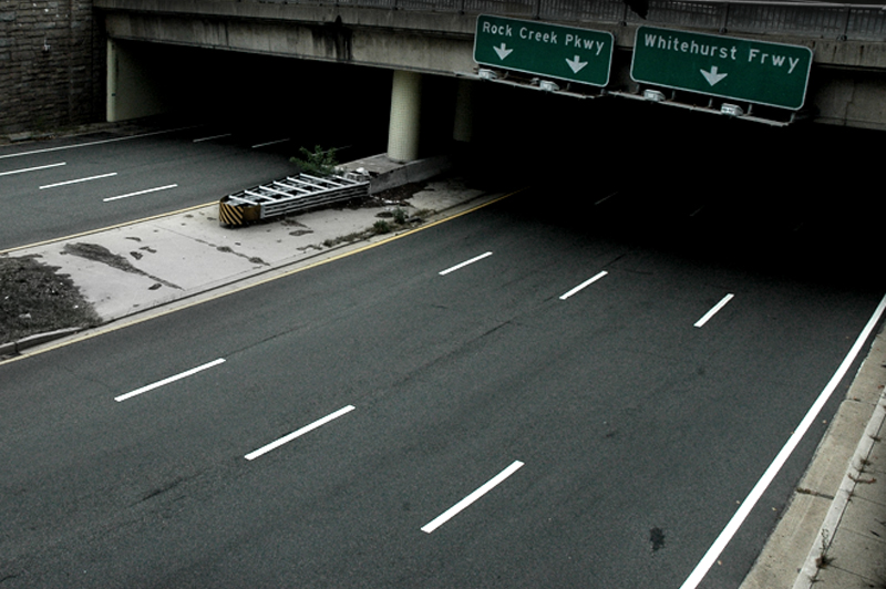
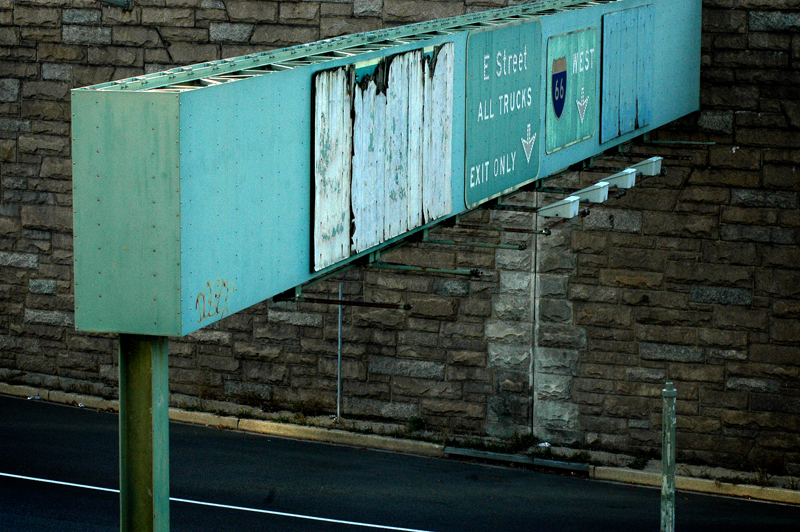
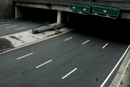
Potomac Freeway One of the more curious (and confusing) roads in the city lies deep in Foggy Bottom. The unsung Potomac River Freeway, technically the eastern end of Interstate 66, runs behind the Kennedy Center. When construction began in 1960, it was intended to be a vital link in a vast, interconnected freeway network that would encircle the city.

Today, the sunken freeway courses a mere eight-tenths of a mile through the West End, terminating abruptly near the Watergate Hotel at 27th Street NW.

As political and residential opposition to various freeway segments ballooned in the late 1960s, plans to extend the route into Virginia by merging it with the Whitehurst Freeway collapsed, leaving the extravagant road segment isolated from the arteries that it was intended to serve. As such, the eight-lane freeway feels disproportionately wide; even during rush hours, it is often under capacity. (WTOP/Dave Dildine)
Potomac Freeway (continued) Foggy Bottom's freeways were asymmetrically tethered together with an array of single-lane ramps after the grand plans were scraped. By the mid-1990s, the decades-old stub ramps that were to connect the proposed superfreeway were finally eliminated. The integration of these arteries with the surface streets still feels like an afterthought to many. The complicated cut-outs of I Street and 27th Street as they wriggle onto the stubbed ends of the freeways confound novice drivers. Some feasibility studies conducted over the last 10 years have proposed alternatives to this confusing array of turn movements by providing more access from the Whitehurst Freeway directly to the Rock Creek Parkway.

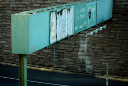
Adding to the Potomac Freeway's modern mystique is the incongruous signage near its entrances and exits. As if shunned, guide signs on the freeway's inbound approaches fail to name or number the route. Further adding to the road's deficiencies, there are no route markers along the freeway. Drivers often confuse the road with the E Street Expressway, a different route that spurs off the Potomac Freeway due east of the Kennedy Center. (WTOP/Dave Dildine)
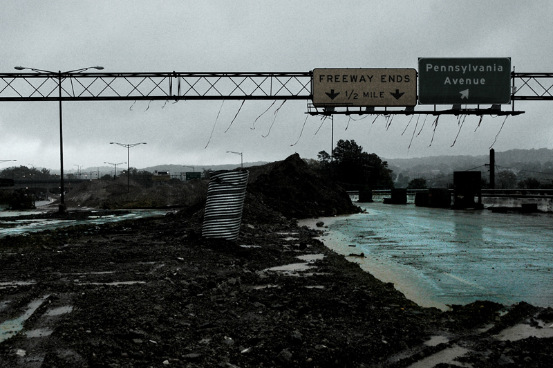
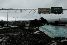
Decommissioned Southeast Freeway Another defunct freeway in Washington has recently been given the axe. In January 2013, the District closed the eastern end of the Southeast Freeway, a road that was originally intended to route traffic onto the fabled Barney Circle Freeway. The unrealized portion of the Southeast Freeway was decommissioned as an interstate and permanently closed during the first phase of the 11th Street Bridge construction project.

The master plan for the Anacostia Riverfront Initiative calls for a new boulevard to be constructed in place of the old freeway segment. But construction appears to have stalled. The sunken freeway, lined with towering piles of fill dirt, remains largely unchanged since it was shut down nearly two years ago. (WTOP/Dave Dildine)
(1/9)
Dave Dildine

A native to the Washington area, Dave Dildine is no stranger to the region's complex traffic and weather patterns. Dave joined WTOP in 2010 when the station launched its very own in-house traffic service. You can hear him "on the 8s and when it breaks" from 2 p.m. to 7 p.m. on weekdays.

Federal News Network Logo
Log in to your WTOP account for notifications and alerts customized for you.

Sign up