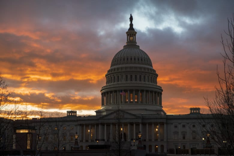
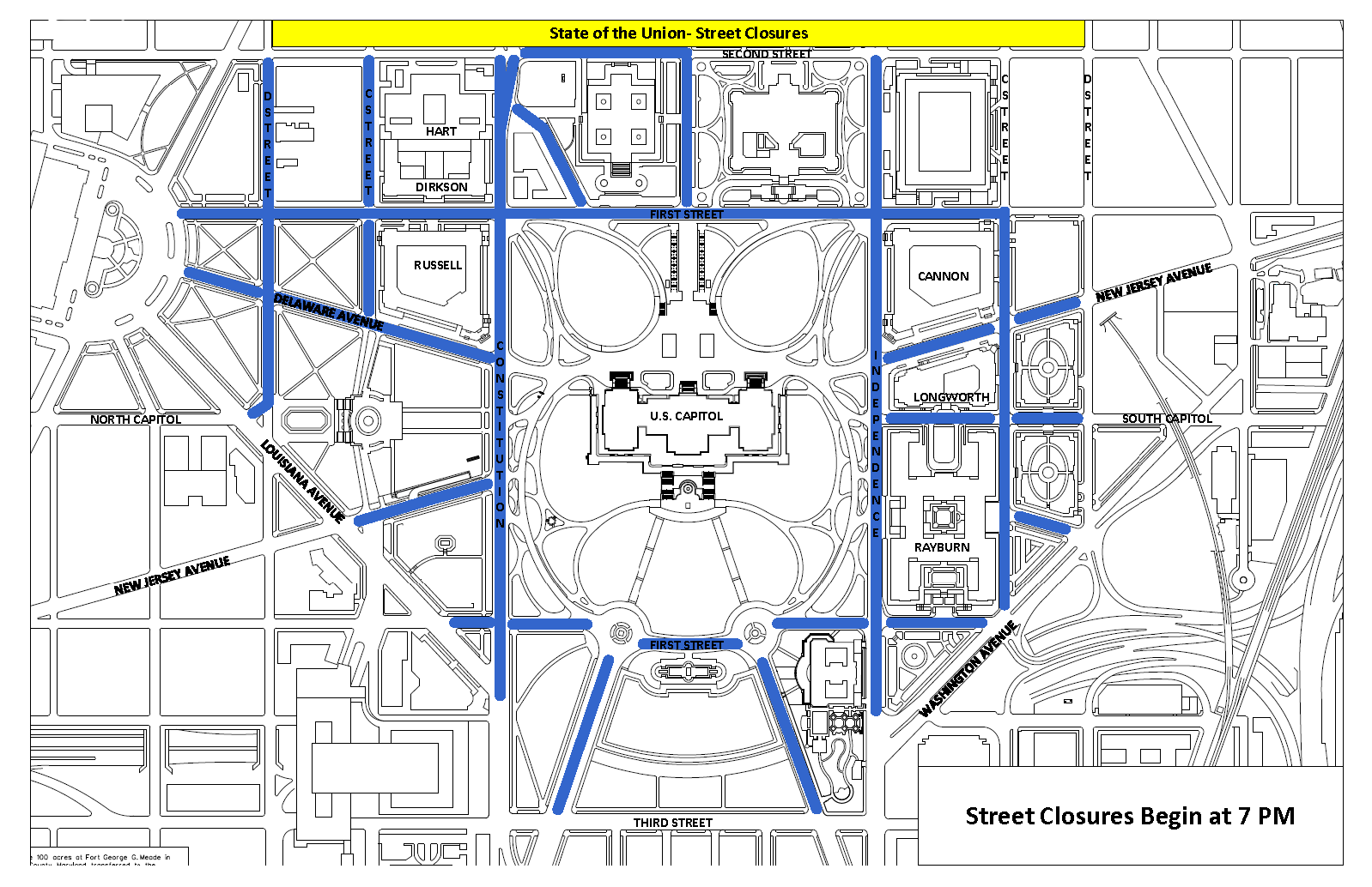
WASHINGTON — Tuesday’s State of the Union address will lead to a host of road closures and other restrictions in the area around the U.S. Capitol, where President Donald Trump will address a joint session of Congress at 9 p.m.
The Capitol Police have released their list, and a map, of the closures, which begin at 7 p.m.:
- Pennsylvania Avenue Northwest, from Third Street Northwest to First Street Northwest
- Constitution Avenue Northwest, from Louisiana Avenue Northwest, to Second Street Northeast
- First Street Northwest, from Louisiana Avenue Northwest to Washington Avenue Southwest
- New Jersey Avenue Northwest, from Louisiana Avenue Northwest to Constitution Avenue Northwest
- D Street Northeast, from Second Street Northeast, to Louisiana Avenue Northeast
- Delaware Avenue Northeast, from Columbus Circle Northeast to Constitution Avenue Northeast
- First Street Northeast, from Columbus Circle Northeast to C Street Southwest
- C Street Northeast, from Second Street Northeast to Delaware Avenue Northeast
- Maryland Avenue Northeast, from Constitution Avenue Northeast to First Street Northeast
- Second Street Northeast, from Constitution Avenue Northeast to East Capitol Street Northeast
- East Capitol Street, from Second Street Northeast to First Street Northeast
- Independence Avenue, from Second Street Southeast to Washington Avenue Southwest
- C Street Southwest, from Washington Avenue Southwest to First Street Southeast
- Delaware Avenue Southwest, from Washington Avenue Southwest to C Street Southwest
- South Capitol Street, from D Street Southeast to Independence Avenue Southeast
- New Jersey Avenue Southeast, from D Street Southeast to Independence Avenue Southeast
- Maryland Avenue Southwest, from Third Street Southwest to First Street Southwest
In addition, tours of the Capitol will close at noon Tuesday for the rest of the day. The House and Senate galleries will be open until 5 p.m.
After 5:30 p.m. Tuesday, the Capitol will only be open to members of Congress, credentialed media and ticketed guests for the speech. And the following streets will be closed off to pedestrians:
- First Street, between Constitution Avenue Northwest and Independence Avenue Southwest
- Independence Avenue, between Washington Avenue Southwest and Second Street Southeast
- First Street, between Independence Avenue Southeast and Constitution Avenue Northeast
- Constitution Avenue, between Second Street Northeast and Louisiana Avenue Northwest
And starting at 7 p.m. Tuesday, no vehicles will be allowed on the Capitol Grounds except those with a congressional parking sticker, and at least one person in the vehicle has to have a congressional ID.