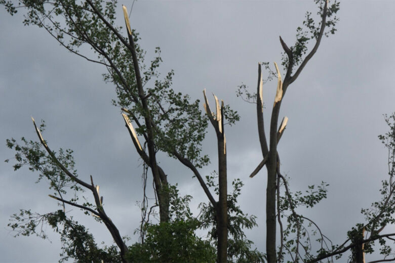

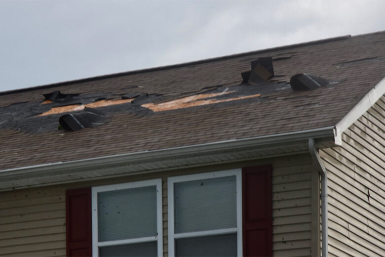
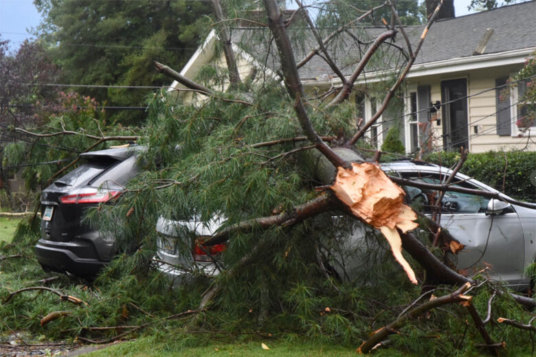
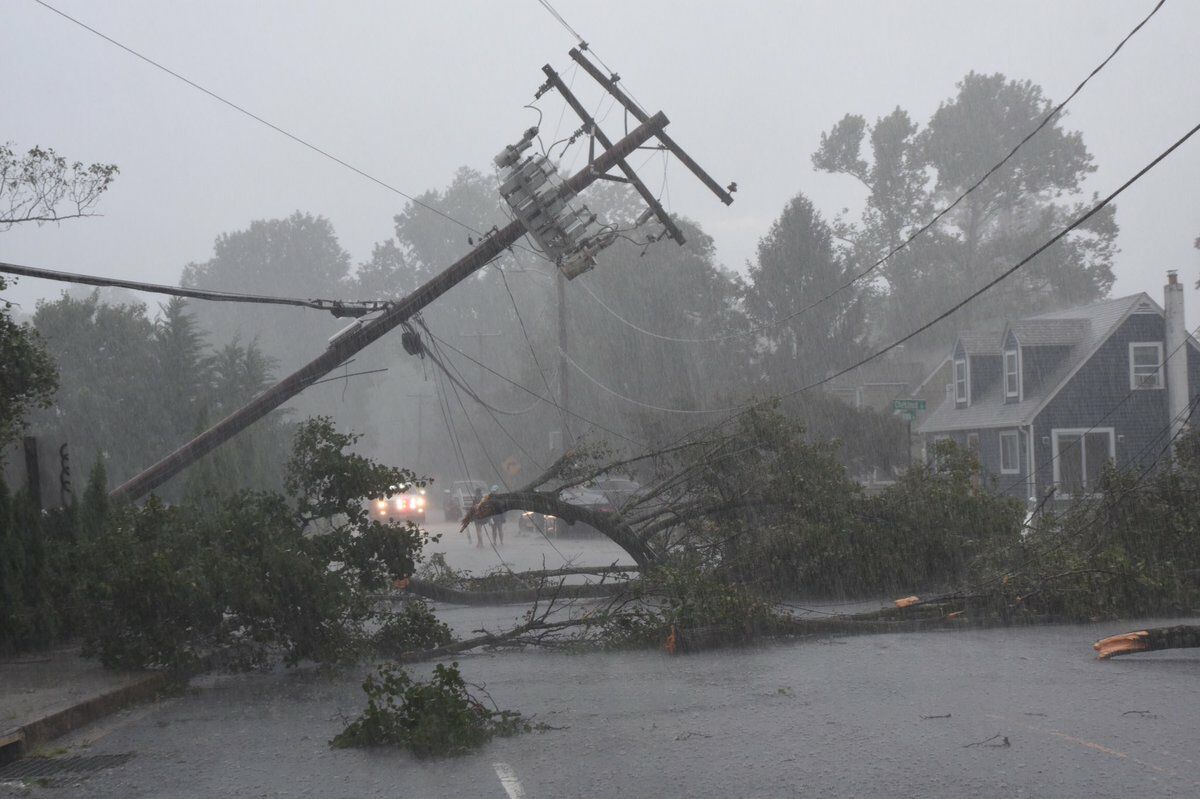

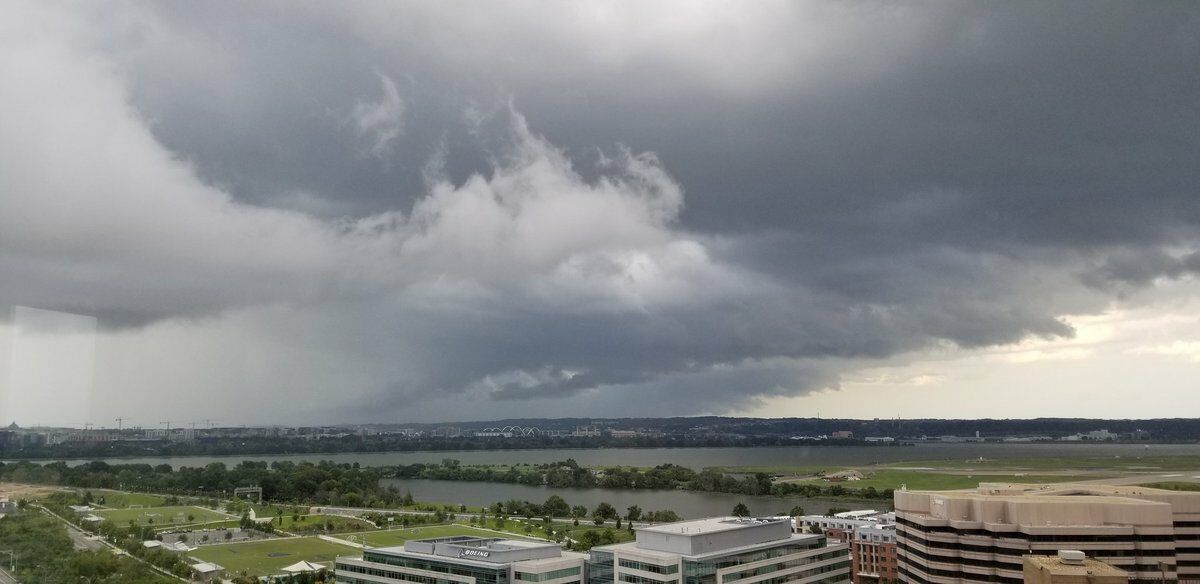



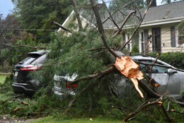
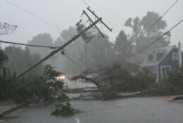


The tornado that touched down Thursday in Edgewater, Maryland, was an EF-1 tornado with peak winds of 90 mph that uprooted several trees, downed power lines and damaged some homes, the National Weather Service said.
The assessment comes after an on-the-ground survey Friday by meteorologists with the weather service. The tornado was on the ground for about 10 minutes and traveled just over 6 miles toward the western shore of the Chesapeake Bay.
Tornadoes are rated on a scale of EF-0 to EF-5, with EF-0 causing the least damage.
In its preliminary report, the weather service said the tornado reached its peak strength in the area of Edgewater bounded by Solomons Island Road (Route 2), Virginia Avenue and Ridge Avenue.
Siding was torn from the wall of one home, large branches were ripped from trees and a commercial fence was blown down. Some homes and vehicles were also damaged by falling trees and tree branches.
Most of the damage was to trees, and about 10 trees were uprooted entirely, the weather service said.
Neighbors spent most of the day cleaning up debris, and power crews worked to restore electricity. The weather service said some power lines were snapped by falling trees and trees branches.
“The wind was ferocious,” resident Robin Ward told WTOP.
“I can’t remember when I’ve ever seen lightning so fierce and intense,” said Ward, who lives in the community of about 100 people off Virginia Avenue and Solomons Island Road in Edgewater.
“We can’t even get out of the neighborhood … There are big trees that are uprooted and down, and electrical poles that the tops are sheared off and wires are down. It’s bad,” she said.
The Anne Arundel County Office of Emergency Management opened its online “damage assessment portal,” which allows residents and businesses to report any damages they suffered in the storm. The information is used by county officials to determine the extent of the damage, and residents are reminded it is not a substitute for submitting insurance claims.
The tornado began as a supercell thunderstorm raced across central Maryland on Thursday evening.
The weather service confirmed the twister at 5:58 p.m., just south of South River, and said shortly after 6 p.m. it was moving east toward the Bay Bridge and advised everyone in the area to take cover.
6:03pm Radar confirmed tornado on the ground in eastern Anne Arundel County MD just south of Annapolis, heading east towards Bay Ridge. Take cover now!
— NWS Baltimore-Washington (@NWS_BaltWash) September 3, 2020
No serious injuries were reported.
“I’ve never been through anything like it,” said resident Dan Clune. “The wind was blowing real good, too.”
The tornado tore off siding and shingle along Maryland Route 2, just south of the South River bridge, and it toppled sheds and play equipment.
Localized and concentrated area of storm — likely tornado — damage in Edgewater Beach. Shingles torn, sheds and play sets tossed, countless mature trees down. #MDWX pic.twitter.com/kyaRxXz8px
— Dave Dildine (@DildineWTOP) September 3, 2020
The tornado weakened to an EF-0 as it crossed Solomons Island Road, meaning wind speeds had dropped below 85 mph, but the storm continued to cause scattered tree damage, the weather service said.
A large tree was uprooted on the soccer field of the Key School in the Hillsmere Shores neighborhood, with one large branch causing damage to the protecting netting and metal framing attached to a scoreboard, according to the weather service.
Nearby, a dozen 30-40 foot tall pine trees were uprooted and scattered “criss-crossed in a northeast and southeast fashion,” the weather service said.
In addition to Anne Arundel County, tornado warnings were issued in Carroll, Howard, Montgomery, Baltimore and Prince George’s counties on Thursday afternoon.
- Listen to WTOP online and on the radio at 103.5 FM or 107.7 FM.
- Current traffic conditions
- Weather forecast
- Sign up for WTOP alerts
After Thursday’s heavy rains and fierce winds, the D.C. region should see a beautiful weekend ahead.
Forecast
- Friday: Partly to mostly sunny. Highs in the mid- to upper 80s.
- Saturday: Sunny and very pleasant with low humidity. Highs around 80.
- Sunday: Mostly sunny skies. Highs in the low 80s.
- Monday: Mostly sunny and continued pleasant. Highs in the mid 80s.


