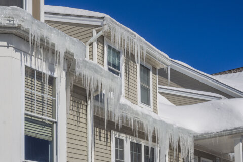
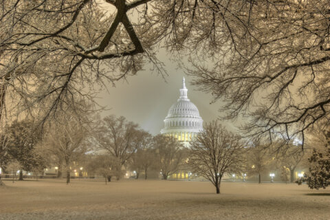
Expect high winds and cooler temperatures across the D.C. region Sunday.
Sunday will bring a wind alert to the area, with gusts reaching 40 miles per hour.
Cases of downed trees were reported across the D.C. area, along the Clara Barton and George Washington parkways.
Power outages have also been recorded in Virginia, with the majority of outages reported in Fairfax County. At last count, over 1,000 customers were dealing with complications.
The cold winds are part of a cold front that led to highs in the 40s throughout the day. The wind chill, however, made much of the day feel like its in the 30s.
“It will be noticeably colder and windier,” said 7News First Alert Meteorologist Mark Peña.
The temperature will drop to frigid territory in the evening hours, falling to the high 20s to low 30s overnight, with a windchill in the low 20s.
“There won’t be much of a warmup on Sunday,” said Peña. “Even though we’ll see gradually clearing skies with some peaks of sunshine, there will still be chances for a lingering shower.”
Monday will be slightly warmer, as temperatures climb back to the 50s.
- Listen to WTOP online and on the radio at 103.5 FM or 107.7 FM.
- Current traffic conditions
- Weather forecast
- Closings and Delays
- Sign up for WTOP email alerts
- Get custom alerts with the WTOP app for Apple and Android phones
FORECAST
SUNDAY NIGHT:
Clear and Breezy
Lows: 26-32
Wind Chill: 20s
Winds: Northwest 10-20 mph
Plan for a cold night as a northwest breeze continues and temperatures in the upper 20s to low 30s. Expect wind chills near 20 degrees by sunrise.
MONDAY:
Mostly Sunny
Highs: 43-47
Winds: West 10 mph
Quiet weather to start the week with near-average temperatures in the middle 40s.
TUESDAY:
Mostly Sunny
Highs: 50-55
Winds: Southwest 10 mph
Temperatures climb to the 50s under mostly sunny skies.
WEDNESDAY:
Cloudy
Highs: 46-50
Winds: Southwest 10 mph
Clouds return ahead of a weather-maker that looks to bring a few showers Wednesday night.
THURSDAY:
Chance for Rain/Snow
Windy
Highs: 37-42
Winds: Northwest 10-20 mph; Gusts: 25-30 mph
An approaching weather maker will bring a return of winter with dropping temperatures and a chance at a rain/snow mix.
CURRENT CONDITIONS
Get breaking news and daily headlines delivered to your email inbox by signing up here.
© 2026 WTOP. All Rights Reserved. This website is not intended for users located within the European Economic Area.