
It looks like the D.C. area won’t make it to 100 degrees Friday, but the hot, humid weather is continuing to hang over the region, and the hottest weather is still coming.
An excessive heat warning returns Saturday from 11 a.m. to 9 p.m. An excessive heat watch is in effect Sunday. The region is also under a Code Orange air quality alert.
Storm Team 4 meteorologist Matt Ritter said Friday afternoon that the century mark wasn’t happening now, but that many places in the area had heat indexes — a combination of heat and humidity that corresponds to how hot it feels — over 100.
It’s only going to get worse Saturday. Ritter said that there was a chance of 100-degree temperatures, with heat indexes reaching 110 to 115.
- WTOP’s Weather Center
- Warm weather and heat-related illness: Why it’s important to stay hydrated
- What you need to know about heat stroke
- Choosing a sunscreen that won’t harm you — or the environment
- Tips, advice and warning signs for coping with extreme heat
- How to keep pets safe in extreme heat
“Even hotter than today for more people,” Ritter tweeted.
While record high temperatures won’t fall — the record for Saturday’s date is 106 — records for highest overnight low temperatures are in danger. Ritter said urban areas might not make it below 80, even at the darkest and coolest part of the overnight hours.
Monday looks to be the next chance for the official end of the heat wave, with temperatures edging toward 90 but perhaps over. The temperatures will break on Tuesday, with some rain, and Wednesday and Thursday look to be beautiful, Ritter said.
Here’s what you need to know about the hot weather, and getting through it.
Stay hydrated
The National Weather Service says the weather conditions will be such that the high temperatures and humidity combined could “quickly cause heat stress or heat stroke if precautions are not taken.”
#HEAT UPDATE: Today marks day 1 of 3 excessively hot and humid days for our region. Dangerous heat indices of 100-115 are expected. Stay hydrated and in shaded or air conditioned places, and check on your friends and neighbors. Heat safety tips: https://t.co/nm6p0Dmcbs. pic.twitter.com/Jb4u0DwSPs
— NWS DC/Baltimore (@NWS_BaltWash) July 19, 2019
UPDATE: Excessive Heat Watch extended through Sunday. Prolonged, persistent oppressive heat and humidity expected, even at night, which enhances the risk for #heat related illnesses. Visit https://t.co/nm6p0Dmcbs for heat safety tips. pic.twitter.com/wePVattNr1
— NWS DC/Baltimore (@NWS_BaltWash) July 18, 2019
Code Orange air quality
The extreme temperatures will worsen air quality. The Metropolitan Washington Council of Governments has forecast a Code Orange due to ozone pollution over the D.C. region this weekend. Such a designation means air will be unhealthy for children, older people and people with respiratory and heart ailments.
Signs of heat illnesses
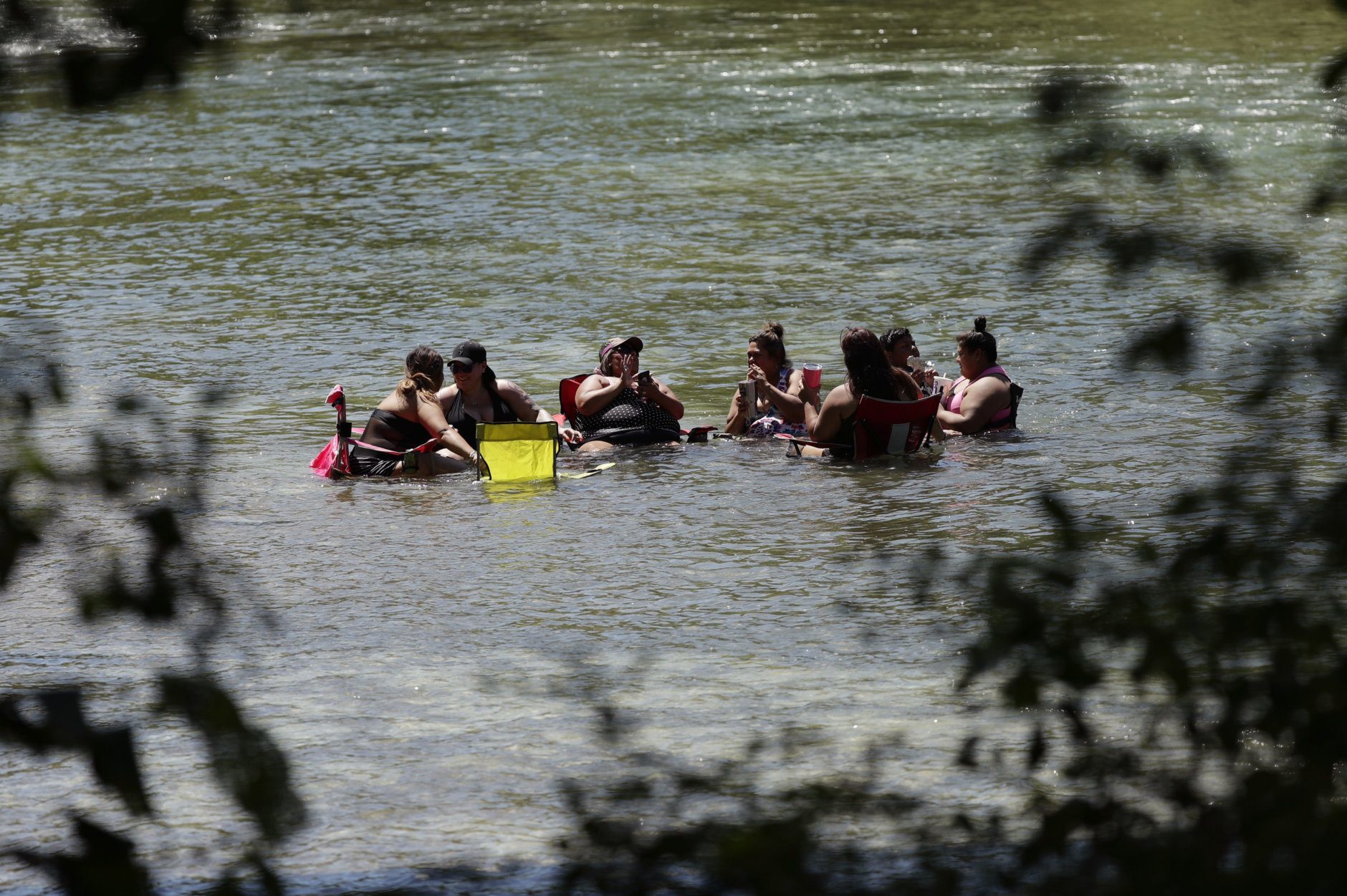
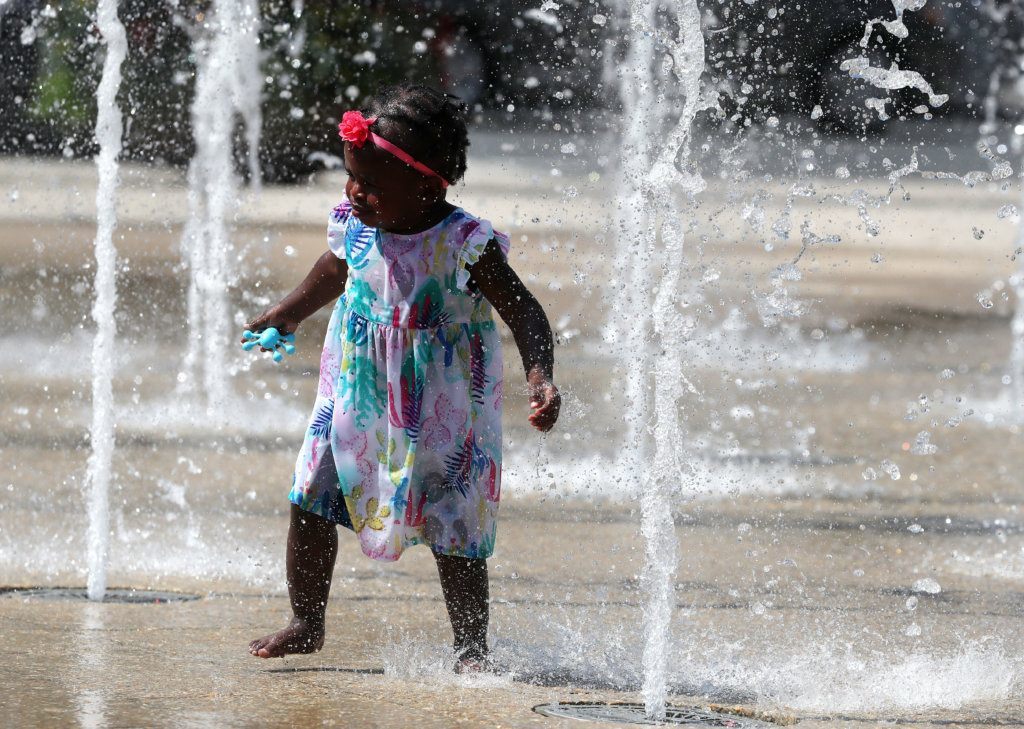
Any weekend plans should involve limiting outdoor time and staying cool and hydrated.
The need to stay hydrated during this excessive heat event cannot be stressed enough.
The Centers for Disease Control and Prevention has specific recommendations for the symptoms of heat exhaustion and the even-more-serious heat stroke.
Heat exhaustion
- Nausea or vomiting
- Cold, pale, clammy skin
- Heavy sweating
- Fainting
Under those circumstances you should move to a cooler location, loosen your clothes, lie down, apply wet, cool cloth to as much of your body as possible and sip water. If you continue to vomit, seek medical help right away.
Heat stroke
- Body temperature above 103 degrees
- Hot, red, dry or moist skin
- Fast and strong pulse
- Possible unconsciousness
If you suspect heat stroke, call 911. Do not give fluids to someone experiencing heat stroke symptoms. Move the person to a cooler location and try to lower their body temperature using cool cloths or a bath.
Muscle cramping might be the first sign of heat-related illness, the CDC advises.
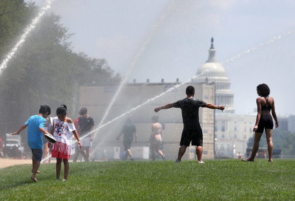
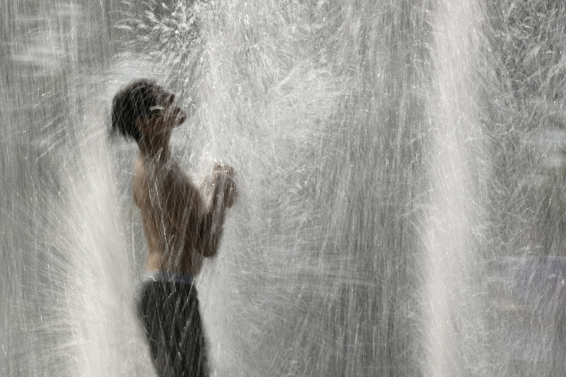
Tips to say cool
If you can’t make it to a cooling center and must be outside, some of D.C. Health’s tips for staying cool include:
- Drink plenty of water;
- Stay out of the sun;
- Avoid drinks with caffeine, alcohol and large amounts of sugar;
- Wear clothing that is loosefitting, light-colored and breathable, such as cotton;
- Dress infants and children in cool, loose clothing, and shade their heads and faces with hats or an umbrella;
- Limit sun exposure during midday hours and in places of potential severe exposure, such as beaches;
- Wear sunscreen;
- Schedule outdoor activities carefully;
- Do not leave infants, children or pets in a parked car;
- Provide plenty of fresh water for your pets, and leave the water in a shady area;
- If you do not have access to a cool-temperature location, visit the District recreation center, library or senior center closest to you.
According to the city, those at the greatest risk for heat-related illness are: infants, children up to 4 years old, people 65 years old and older, people who are overweight and people who are ill or on certain medications.
Forecast
Saturday: Hazy sunshine. Dangerously hot and humid. Highs near 100. Heat index: 110 to 115.
Saturday night : Slight chance of showers and thunderstorms before 11 p.m. Partly cloudy. Lows around 83.
Sunday: Partly sunny, hot and humid. Chance of strong storms after 3 pm. Highs near 100. Heat index: 105 to 110.
Monday: Showers and thunderstorms. Highs around 90.
Tuesday: A chance of showers. Cooler and less humid. Highs in the mid-80s.
Current weather
How not to stress the power grid
The very hot days are sure to stress the region’s power grid, and if you find yourself without power, you can check for status updates using outage maps from Pepco and Dominion Energy.
Christina Harper, a spokesperson for Pepco, the utility that serves D.C. and its neighboring counties in Maryland (Prince George’s and Montgomery), said one thing residents can do in the coming days is set their thermostat to 78 degrees, “and forget it.”
While 78 may seem warm, Harper said, it’s much cooler than the temperature outside, and it reduces the load on the power grid. “Let it stay there,” she said.
Harper suggested keeping shades drawn and making sure to turn off any nonessential appliances. If you must do any cooking or cleaning at home that requires the use of high-energy appliances, it’s best to wait until later in the day.
She added that when temperatures reach 95 degrees or higher, the utility will “cancel or delay any scheduled nonemergency work so customers will be able to enjoy the comforts of their homes.”
Harper went on to say, however, that Pepco will continue any planned projects designed to improve system reliability that would require a planned outage.
“We would move ahead with any work that would help us to increase load, and during these really hot days, we expect our load will be impacted because more people are using their air conditioner units,” she said.
Harper reminded customers that it’s a good idea to download Pepco’s mobile app to easily get updates of planned outages, as well as news about when unplanned outages will be resolved.
The map below shows area power outages:
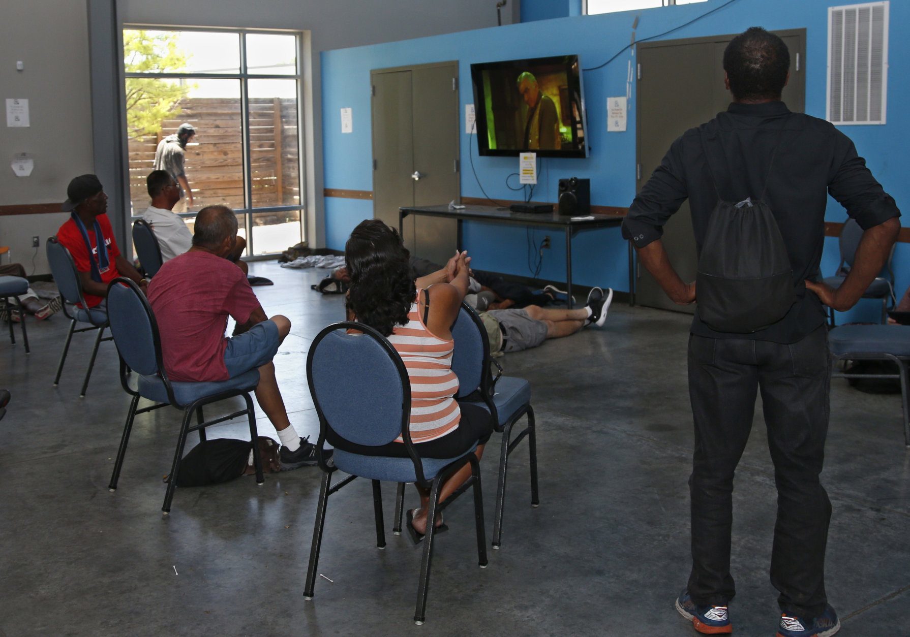
Cooling centers
Here are some information on cooling centers in your area.
DC
D.C. Mayor Muriel Bowser announced Tuesday that the D.C. Heat Emergency Plan has been activated. This goes into effect when the heat index passes 95. Cooling centers for residents and the homeless are open from noon to 6 p.m., with some outdoor pools, splash parks and shelters open later. View an interactive map of the District’s cooling centers.
D.C. residents can get more information on heat advisories at the District’s website.
Virginia
- City of Alexandria
- Fairfax County
- Arlington County
- Prince William County — the Homeless Drop-in Center at 14716 Potomac Mills Rd., Woodbridge, will have extended hours from noon to 6 p.m. through Friday. The phone number is 703-792-7648.
Maryland
- Anne Arundel County
- Calvert County
- Charles County
- Frederick County
- Prince George’s County
- Montgomery County
- Howard County — call 410-531-6677
National heatwave
The D.C. metro area isn’t alone when it comes to hot weather. More than 85% of the lower 48 states will see temperatures over 90 this weekend.
WTOP’s Dan Friedell and Abigail Constantino contributed to this report.