WASHINGTON — It’s not over until it’s over: The third-warmest winter on record is poised to take one last swipe at Washington. Cue the snow hype machine and ready the snowblower.
Related Gallery
Forecasters are making clear that a wide range of outcomes is still possible, including a rainy washout or no precipitation at all.
“We’re watching a storm system for Sunday that could bring us snow, but also could bring us rain. Of course, it’s way too early to tell,” said Storm Team 4 meteorologist Lauryn Ricketts. Ricketts says the details of the stormy forecast are clouded by overall uncertainty.
“It’s an area of low pressure coming out of the Midwest; if it goes to the north, then we’ll have a better chance of rain, as warmer air will be involved. If it goes to the south, there’s a better chance of colder air moving into our area. It could be some snow, could be some rain. Just too early to tell.”
Should a weekend winter storm strike Washington, it would do so on the 24th anniversary of the 1993 Superstorm, one of the strongest East Coast cyclones in modern memory. From March 11 to March 13, 1993, blizzard conditions enveloped the eastern third of the country, shattering all-time low pressure, low temperature and snowfall records from Florida to New England. Much like this month, mild temperatures preceded the storm.
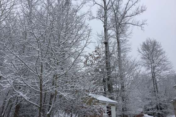
Although meteorological winter ends at the end of February, March snowfall isn’t uncommon in the D.C. region: The District averages 1.3 inches of snow during the month. But the prospect of late-onset snowfall is a bitter pill for those rooting for an early spring.
February was the warmest on record for the Washington area, with an average temperature of 47.7 degrees. The temperature reached or surpassed the 70-degree mark six times, and several record daily high temperatures were broken. Worse yet for snow-lovers, only a trace of snow fell, leaving the season’s snowfall total at a paltry 1.4 inches.
The warmest and second-warmest winters on record in Washington (1931-32 and 1889-90) both featured heavy March snowfalls.
And that 1993 Superstorm? It also occurred on a weekend, like so many other monumental Washington snowstorms.